The best waterfall hikes and walks in Marion County
4.7
(67)
1,135
hikers
16
hikes
Waterfall hiking trails in Marion County traverse a landscape characterized by natural springs, rivers, and diverse conservation areas. The region features tranquil pine forests, unique wetlands, and generally flat terrain, making many trails accessible. While Florida is not known for dramatic elevation changes, Marion County offers routes that highlight its distinctive water features, including rare waterfalls. These trails provide opportunities to explore the area's natural habitats.
Best waterfall hiking trails in Marion County
- The most popular waterfall hiking route is…
Last updated: June 25, 2026
2.29km
00:49
200m
10m
Easy hike. Great for any fitness level. Easily-accessible paths. Suitable for all skill levels.
2.04km
00:33
10m
40m
Easy hike. Great for any fitness level. Easily-accessible paths. Suitable for all skill levels.

Sign up for free
4.0
(3)
63
hikers
13.6km
03:53
300m
300m
Moderate hike. Good fitness required. Easily-accessible paths. Suitable for all skill levels.
5.0
(4)
21
hikers
3.67km
01:04
90m
90m
Easy hike. Great for any fitness level. Easily-accessible paths. Suitable for all skill levels.
5.0
(1)
20
hikers
4.49km
01:19
130m
130m
Easy hike. Great for any fitness level. Easily-accessible paths. Suitable for all skill levels.
Get access to more routes and recommendations from other explorers.
Sign up for free
Already have an account?
Our route recommendations are based on thousands of hikes, rides, and runs completed by other people on komoot.
Start today with a free account
Your next adventure awaits.
Login or Signup


Tips from the Community

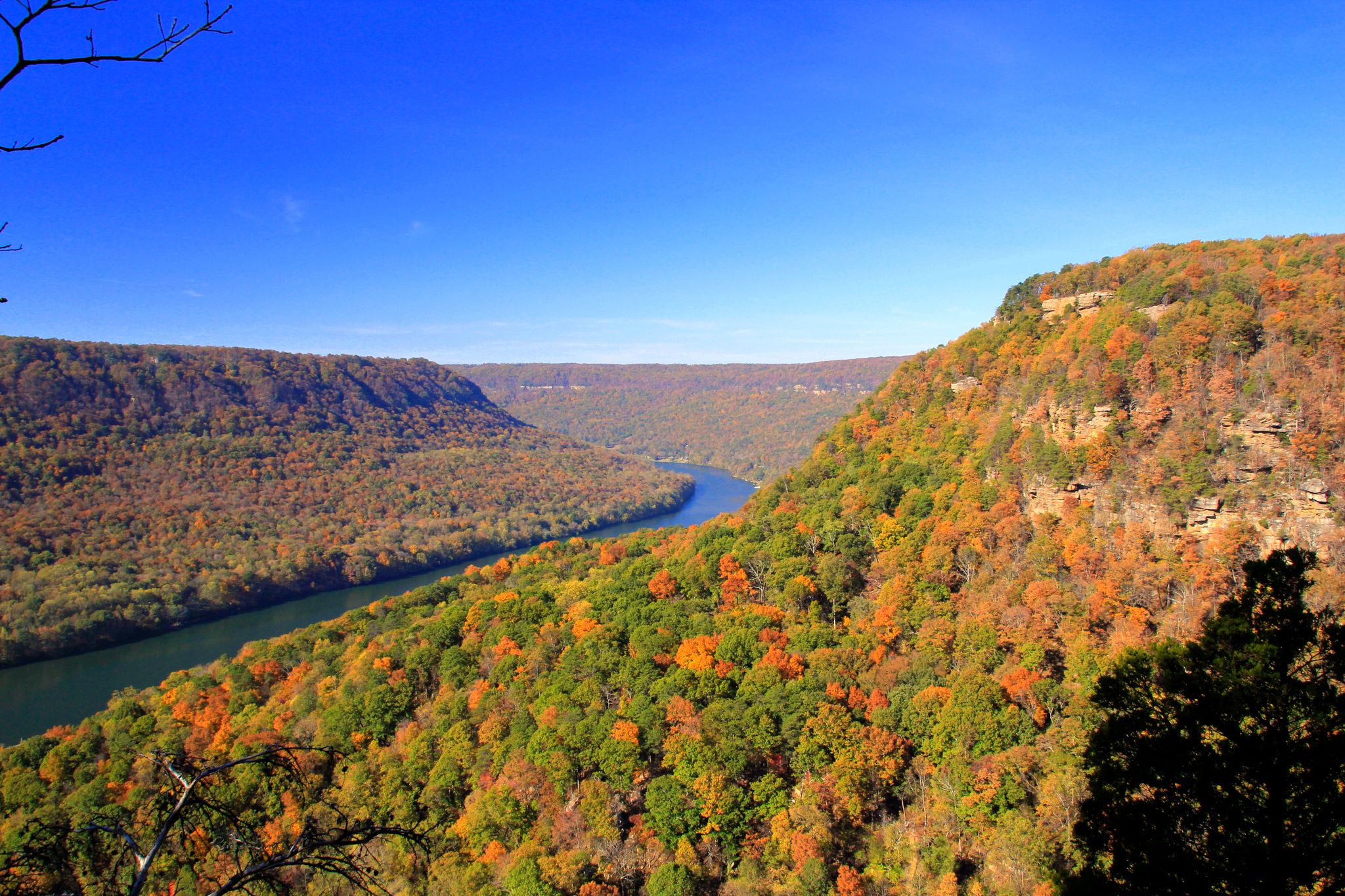
Raven Point is the pinnacle of the Fiery Gizzard Trail. You can reach the viewpoint by taking a short spur trail off of the main path. You'll come to the rocky outcrop overlooking the valley and nearby mesas.
0
0
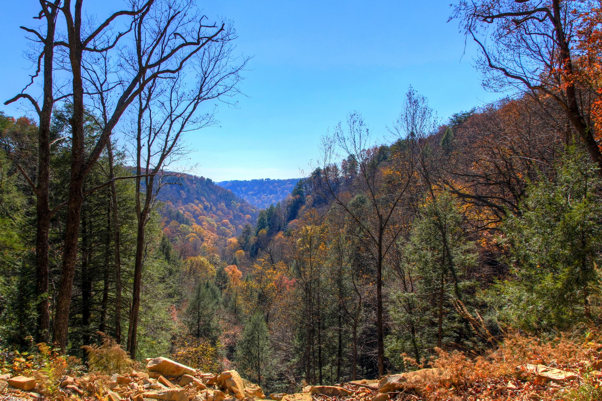
The Climbers Loop Trail is an alternate path to the Fiery Gizzard Trail near Foster Falls. It gets its name from the multitude of climbing and scrambling routes in the area, but the trail is worth doing even if you aren't a climber. You travel under tall rock walls and cliffs with sporadic views over the valley.
0
0
Foster Falls is a 60-foot tall cascade and is the main attraction within South Cumberland State Park. The recreational area around the falls is full of campsites, camping amenities, and a couple different trails popular for hiking and trail running.
0
0
The Climbers Loop Trail is an alternate path to the Fiery Gizzard Trail near Foster Falls. It gets its name from the multitude of climbing and scrambling routes in the area, but the trail is worth doing even if you aren't a climber. You travel under tall rock walls and cliffs with sporadic views over the valley.
0
0
Foster Falls is a 60-foot tall cascade and is the main attraction within South Cumberland State Park. The recreational area around the falls is full of campsites and camping amenities and a couple different trails popular for hiking and trail running.
0
0
Raven Point is the pinnacle of the Fiery Gizzard Trail. You can reach the viewpoint by taking a short spur trail off of the main path. You'll come to the rocky outcrop overlooking the valley and nearby mesas.
0
0
The Denny Cove area is most well-known for its ample rock-climbing opportunities, but it also has several miles of trails that lead to an awesome waterfall. The Denny Cove Waterfall is a large, towering cascade of roughly 60 feet that can be viewed from a few different angles. The trail to the falls is fairly technical, so don't expect to set any PRs here!
0
0
The Denny Cove area is most well-known for its ample rock-climbing opportunities, but it also has several miles of trails that lead to an awesome waterfall. The Denny Cove Waterfall is a large, towering cascade of roughly 60 feet that can be viewed from a few different angles.
0
0
Frequently Asked Questions
How many waterfall hiking trails are available in Marion County?
Marion County offers a selection of over 15 waterfall hiking trails. These routes vary in length and difficulty, providing options for different preferences and skill levels.
What makes waterfall hikes in Marion County unique?
While Florida is not typically known for dramatic waterfalls, Marion County's unique geology features natural springs and rivers that create distinctive water features. Hikes here often traverse tranquil pine forests and unique wetlands, offering a blend of Florida's diverse natural habitats alongside these rare waterfalls.
What is the general difficulty level of waterfall hikes in Marion County?
The majority of waterfall hikes in Marion County are considered easy, with 12 out of 16 routes falling into this category. There are also 3 moderate trails and 1 more difficult option, ensuring there's something for various fitness levels.
Are there any easy waterfall hikes suitable for beginners or families?
Yes, there are several easy waterfall hikes perfect for beginners and families. A great option is the Blowing Wind Falls via Ritchie Hollow Trail, which is an easy 1.4-mile route with a notable elevation gain leading to the falls. Another family-friendly choice is the Denny Cove Waterfall Trail, an easy 2.8-mile path through varied terrain.
Can I find longer or more challenging waterfall hikes in the area?
For those seeking a longer and more challenging experience, the Fiery Gizzard and Dog Hole Trail Loop is a moderate 8.4-mile trail. It leads through forests and along riverbeds, typically taking around 3 hours and 53 minutes to complete.
Are there any circular waterfall routes in Marion County?
Yes, some waterfall trails in Marion County offer a circular experience. The Grundy Forest Day Loop is an easy 1.3-mile (2.1 km) route that allows you to explore the area and its natural features in a loop format.
What is the best time of year to experience the waterfalls in Marion County?
Marion County's waterfalls, often fed by springs and rivers, can be enjoyed year-round. However, the cooler, drier months from late fall to early spring (November to April) generally offer more comfortable hiking temperatures and potentially more vibrant water flow after seasonal rains. Summer can be hot and humid, but the lush greenery is also beautiful.
What should I wear or bring for a waterfall hike in Marion County?
For waterfall hikes in Marion County, it's advisable to wear comfortable, moisture-wicking clothing and sturdy closed-toe shoes suitable for varied terrain. Given Florida's climate, bringing plenty of water, sunscreen, insect repellent, and a hat is recommended. A light rain jacket can also be useful, especially during the wetter seasons.
Are dogs allowed on waterfall hiking trails in Marion County?
Many state parks and natural areas in Marion County welcome dogs on trails, typically on a leash. However, specific rules can vary by park or conservation area. It's always best to check the regulations of the specific trail or park you plan to visit beforehand to ensure a smooth outing with your canine companion.
What do other hikers enjoy the most about hiking in Marion County?
The komoot community highly rates the hiking experience in Marion County, with an average score of 4.7 stars from over 30 reviews. Hikers often praise the tranquil natural settings, the unique water features, and the accessibility of many trails, making it a rewarding destination for outdoor enthusiasts.
Are there any interesting natural attractions near the waterfall trails?
Absolutely! Near the waterfall trails, you can explore other natural monuments and scenic viewpoints. For instance, you might want to visit Foster Falls, Denny Cove Waterfall, or the impressive Blowing Wind Falls. Additionally, viewpoints like Snooper’s Rock and Raven Point Viewpoint offer stunning vistas of the surrounding landscape.
Are there any trails that are particularly good for wildlife viewing?
Yes, Marion County's diverse ecosystems, including pine forests and wetlands, provide excellent opportunities for wildlife viewing. Trails in areas like Silver Springs State Park and the Silver Springs Forest Conservation Area are known for spotting deer, boar, and bobcats. The Sandhill Trail and Swamp Trail in Silver Springs State Park are particularly good for experiencing Florida's distinctive habitats and their inhabitants.
Most popular routes in Marion County
Most popular attractions in Marion County

Get inspired with the komoot mobile app


Explore more
Browse the best Hikes in other regions.
