The best waterfall hikes and walks in Transylvania County
4.7
(320)
4,659
hikers
66
hikes
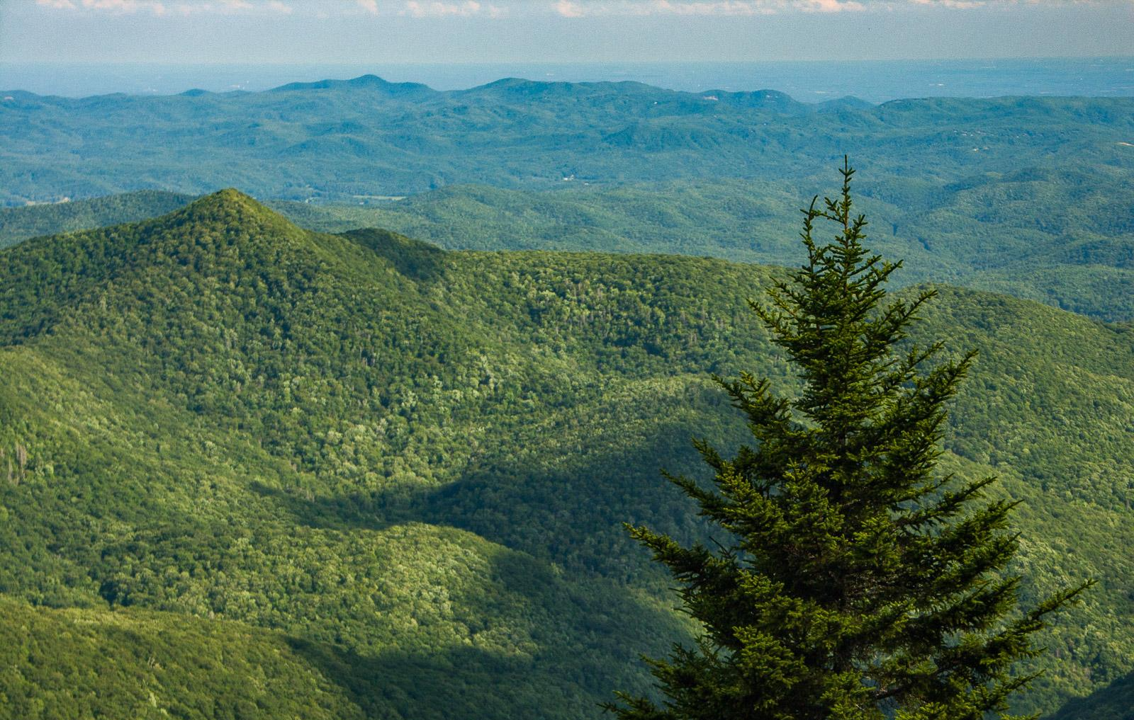
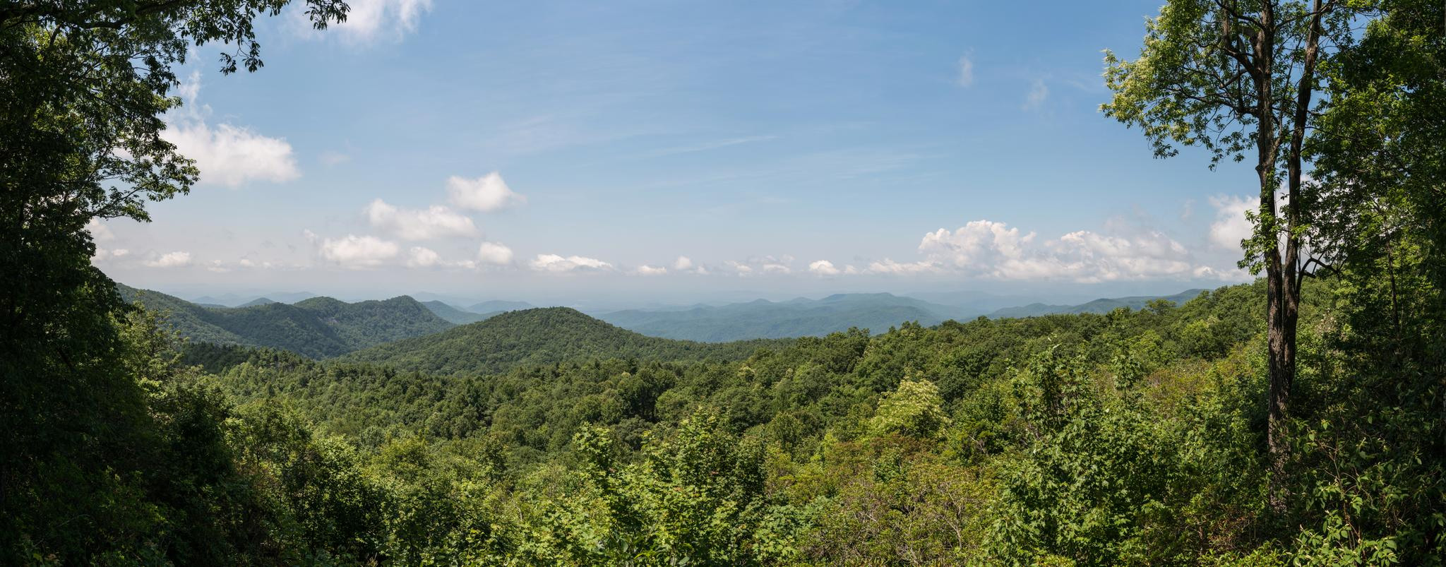
Waterfall hiking trails in Transylvania County are set within a landscape characterized by the Appalachian Mountains, dense forests, and numerous river gorges. This region, often referred to as the "Land of Waterfalls," boasts over 250 waterfalls and extensive trail systems. The terrain varies from gentle forest paths to more challenging ascents, offering diverse natural features for hikers.
Best waterfall hiking trails in Transylvania County
- The most popular waterfall hiking route is Hooker Falls, Triple Falls, Bridal Veil Falls, and High…
Last updated: October 10, 2026
4.8
(4)
49
hikers
11.0km
02:59
140m
140m
Embark on a moderate hike through DuPont State Recreational Forest, where you'll discover four magnificent waterfalls. This 6.9-mile (11.0 km) route, with an elevation gain of 472 feet (144 metres),…
12
hikers
3.18km
01:13
100m
120m
Set out on the Rainbow Falls Trail, a moderate hike that leads you through old-growth forests alongside LeConte Creek. This 2.0-mile (3.2 km) route features picturesque cascades and some rocky,…

5.0
(2)
10
hikers
15.5km
04:41
240m
960m
Embark on the Sassafras Mountain to Pinnacle Lake trail, a challenging yet rewarding hike that spans 9.6 miles (15.5 km) with an elevation gain of 803 feet (245 metres). This…
4
hikers
6.23km
01:49
180m
170m
Embark on an easy hike along the Cove Creek Falls and Toms Spring Falls Trail, a delightful route through young forests in Pisgah National Forest. This trail is perfect for…
5.0
(1)
5
hikers
39.1km
10:47
590m
750m
The Reasonover, Grassy Creek, Buck Forest, Airstrip Loop offers a demanding hiking experience through DuPont State Recreational Forest. This difficult route covers 24.3 miles (39.1 km) and climbs 1949 feet…
Get access to more routes and recommendations from other explorers.
Already have an account?
Our route recommendations are based on thousands of hikes, rides, and runs completed by other people on komoot.
Start today with a free account
Your next adventure awaits.


Other adventures in Transylvania County


Tips from the Community

This is a beautiful spot to sit and take it easy after a long hike!
0
0
The Foothills Trail ends at Table Rock State Park and is really beautiful. The terminus is a welcome sight after a long hike
0
0

The Covered Bridge in DuPont State Forest spans the Little River atop High Falls and is accessible via a short, gently-graded trail just 0.5 miles from the High Falls access area. It is a popular spot in the forest and often has visitors taking photos in front of the bridge.
1
0

From this spot on a wooden viewing platform you get great views over Triple Falls. The nearby Triple Falls shelter is a great spot for a picnic with a view of the waterfall, but be sure to pack out all your trash as there are no trash cans. Dogs are welcome here, but must be kept on a leash. Just a bit past the shelter is a long staircase that you can take down to the river.
0
0

Arriving at the base of the falls may convince many that these are the 'Bridal Veil' but they are further up the rocks! Be very careful as the rocks get very slick and I have ended up on my butt more than once - even with walking poles. Be warned. However, the view at the top of the real falls is well worthwhile.
0
0
Old covered bridge passing over fast flow water. Worth pausing and taking in the noise of rushing water.
0
0

Fawn Lake is a popular swimming hole in the summer and offers beautiful views. This area has a diving dock, a gazebo, and picnic tables.
0
0

The viewing platform at the top of Sassafras Mountain is the perfect reward for all that climbing. On the border of North and South Carolina, the views are breathtaking.
0
0
Frequently Asked Questions
How many waterfall hiking trails are there in Transylvania County?
Transylvania County, often called the "Land of Waterfalls," offers a vast network of trails. You can explore over 60 dedicated waterfall hiking trails in the area, ranging from easy strolls to more challenging ascents.
What makes Transylvania County a special destination for waterfall hikes?
Transylvania County is unique due to its exceptional concentration of waterfalls, boasting over 250 in the region. It's also home to diverse landscapes, including parts of the Appalachian Mountains, dense forests, and even a temperate rainforest in Gorges State Park, providing a stunning backdrop for waterfall exploration.
What do other hikers say about the waterfall trails in Transylvania County?
The waterfall trails in Transylvania County are highly regarded by the komoot community, with an average rating of 4.7 stars from over 140 reviews. More than 2,300 hikers have used komoot to discover the area's varied terrain, often praising the stunning natural beauty and the abundance of waterfalls.
Are there any easy or family-friendly waterfall hikes in Transylvania County?
Yes, Transylvania County offers many options suitable for families and beginners. There are 27 easy trails available. A popular choice is the trail connecting Hooker Falls, Triple Falls, and High Falls within DuPont State Recreational Forest, which is a manageable route for many.
Which waterfall trails are known for unique natural features or views?
Many trails offer spectacular features. The Rainbow Falls Trail in Gorges State Park is famous for the permanent rainbow effect created by sunlight hitting the mist. Looking Glass Falls is easily accessible and offers a picturesque view. For dramatic scale, Whitewater Falls is the highest waterfall east of the Rockies.
Are there any loop trails that visit multiple waterfalls?
Yes, several trails allow you to experience multiple waterfalls in a single loop. The Hooker Falls, Triple Falls, Bridal Veil Falls, and High Falls Trail is a prime example, connecting four major waterfalls in DuPont State Recreational Forest.
What are some notable landmarks or viewpoints to see along the waterfall trails?
Beyond the waterfalls themselves, you can find several impressive landmarks. The Triple Falls Overlook offers panoramic views, and the Covered Bridge in DuPont State Recreational Forest is a charming spot. Additionally, trails like Looking Glass Rock and John Rock provide stunning mountain vistas.
Are dogs allowed on waterfall hiking trails in Transylvania County?
Many trails in Transylvania County are dog-friendly, especially within Pisgah National Forest and DuPont State Recreational Forest, provided dogs are kept on a leash. However, it's always best to check specific park or trail regulations before heading out, as some areas or parks may have restrictions.
What is the best time of year to visit Transylvania County for waterfall hikes?
While waterfalls can be enjoyed year-round, spring and fall are particularly popular. Spring brings lush greenery and increased water flow from snowmelt and rain, making the falls particularly vibrant. Fall offers cooler temperatures and stunning autumn foliage, creating a beautiful contrast with the cascading water.
Are there any challenging waterfall hikes for experienced hikers?
Absolutely. For those seeking a more strenuous adventure, Transylvania County offers 12 difficult trails. The Reasonover, Grassy Creek, Buck Forest, Airstrip Loop is a demanding 24-mile route, and the Coontree, Bennett Gap, Buckwheat Knob, and Avery Creek Loop also presents a significant challenge with considerable elevation changes.
Is parking available at the trailheads for waterfall hikes?
Yes, most popular waterfall trailheads in Transylvania County, especially within DuPont State Recreational Forest, Pisgah National Forest, and Gorges State Park, have designated parking areas. However, during peak seasons or holidays, these lots can fill up quickly, so arriving early is recommended.
Can I find wild swimming spots near the waterfalls?
While many waterfalls are beautiful to observe, direct swimming access can be limited or prohibited for safety and environmental reasons. However, some areas like Sliding Rock in Pisgah National Forest are specifically designed for water recreation. Always check local regulations and safety warnings before entering any natural water body.
Most popular routes in Transylvania County
Most popular attractions in Transylvania County

Get inspired with the komoot mobile app


Didn’t find what you were looking for?
Check out more Hikes throughout Transylvania County below and find the perfect route in your destination.
Explore more
Browse the best Hikes in other regions.
