The best waterfall hikes and walks in Grand Mesa, Uncompahgre And Gunnison National Forests
4.8
(197)
5,746
hikers
15
hikes
Waterfall hiking trails in Grand Mesa, Uncompahgre And Gunnison National Forests traverse a vast and diverse landscape characterized by towering peaks, deep canyons, and extensive forests. The region includes the world's largest flat-top mountain, Grand Mesa, and the rugged San Juan Mountains within Uncompahgre National Forest. Elevations range significantly, from around 8,400 feet to over 14,000 feet, featuring alpine meadows, numerous lakes, and dramatic geological formations. These varied terrains provide a wide array of environments for waterfall exploration.
Best waterfall hiking trails in Grand Mesa, Uncompahgre And Gunnison National Forests
- The most popular waterfall hiking route is Copper Creek Trail to Copper Lake, a 7.0 miles (11.2 km) trail that takes 3 hours 35 minutes to complete. This moderate route leads through varied terrain to a scenic alpine lake.
- Another top favourite among local hikers is Ouray Perimeter Trail, a moderate 5.0 miles (8.1 km) path. This trail offers views of Ouray, Hayden Mountain, and several waterfalls.
- Local hikers also love the Lower Cascade Falls Trail, a 0.4 miles (0.7 km) trail leading through forested areas to a waterfall, often completed in about 12 minutes.
- Hiking in Grand Mesa, Uncompahgre And Gunnison National Forests is defined by towering peaks, deep canyons, and dense forests, with numerous waterfalls and alpine lakes. The extensive network of routes offers options for various ability levels, from easy walks to challenging ascents.
- The routes in Grand Mesa, Uncompahgre And Gunnison National Forests are highly rated by the komoot community with an average score of 4.8 stars from over 100 reviews. More than 3000 hikers have used komoot to explore Grand Mesa, Uncompahgre And Gunnison National Forests's varied terrain.
Last updated: July 8, 2026
11.2km
03:36
650m
180m
Embark on the Copper Creek Trail to Copper Lake, a moderate hike that takes you through varied landscapes to a stunning alpine destination. This route spans 7.0 miles (11.2 km) and involves a significant elevation gain of 2147 feet (654 metres), typically completed in about 3 hours and 35 minutes. You will wind through lush forests and open meadows, following the course of Copper Creek, with the sound of cascading water from Judd Falls marking an early highlight of your journey.
Before you head out, remember that this trail enters the Maroon Bells-Snowmass Wilderness Area. While generally accessible, it is wise to check local conditions for any seasonal closures, especially concerning snow, as this is a high-elevation route. If you plan to venture beyond Copper Lake for backpacking, be aware that self-issue permits might be required, so confirm regulations beforehand to ensure a smooth trip.
The trail offers a diverse natural experience, transitioning from lower elevation forests to a more rugged, rocky path as you approach Copper Lake. The lake itself is nestled within a scenic, meadow-clad bowl, surrounded by impressive peaks like White Rock Mountain and Precarious Peak. In the warmer months, you can expect to see a vibrant display of wildflowers along the route, adding to the picturesque alpine views.
4.5
(10)
224
hikers
8.12km
02:26
250m
250m
The Ouray Perimeter Trail offers a moderate hiking experience, guiding you through a diverse landscape of cliffs, forests, and creeks. You will traverse both high vantage points above town and lower elevations, encountering multiple waterfalls like Lower Cascade Falls and the dramatic Canyon Creek Bridge and Falls. This route is a 5.0-mile (8.1 km) loop with an elevation gain of 807 feet (246 metres), typically taking about 2 hours and 25 minutes to complete.
When planning your visit, be aware that the initial two-thirds of a mile can be challenging, featuring steep climbs and a narrow path along a cliffside. Good footwear and trekking poles are highly recommended to navigate the varied terrain safely. The trail remains close to Ouray, providing several convenient exit points if you decide to shorten your hike.
This unique route is notable for its continuous views of Ouray and the surrounding mountains, including 11,475-foot Hayden Mountain, as it encircles the town. You will cross six bridges and pass through a distinctive tunnel, making it a comprehensive way to explore the area often called the 'Switzerland of America'.

Sign up for free
19
hikers
17.9km
05:31
660m
660m
Embark on the Copper Creek Trail to Copper Lake and East Maroon Pass, a challenging hike that takes you through diverse landscapes. You will begin along an old mining road, passing Judd Falls, before ascending through dark timber and open meadows. The path becomes steeper as you approach Copper Lake, a beautiful alpine lake nestled among peaks over 13,000 feet, offering a rewarding experience over 11.1 miles (17.9 km) with 2161 feet (659 metres) of elevation gain, typically taking 5 hours and 30 minutes.
Before you head out, remember that permits are required for entry into the Maroon Bells-Snowmass Wilderness. The trail is generally inaccessible during winter due to heavy snow and dangerous conditions, so plan your visit for the warmer months. Always check for trailhead parking availability and any seasonal restrictions before you go to ensure a smooth start to your adventure.
Beyond Copper Lake, the climb to East Maroon Pass reveals increasingly spectacular views of the basin, which is rimmed by high peaks like Pyramid Peak. In summer, you can expect to see vibrant wildflowers, while autumn brings a display of colorful aspens. This route offers a deep dive into the wilderness, showcasing the rugged beauty and high-alpine environment of the area.
5.0
(1)
10
hikers
17.7km
07:13
1,340m
1,340m
Hike 11.0 miles (17.7 km) to Bridal Veil Falls, Ajax, and Telluride Peaks for challenging terrain and panoramic views of the San Juan Mounta
18.7km
07:22
1,330m
1,330m
Hike the challenging Telluride Via Ferrata and Imogene Pass Loop, combining a protected climbing route with high-alpine views and historic s
Get access to more routes and recommendations from other explorers.
Sign up for free
Already have an account?
Our route recommendations are based on thousands of hikes, rides, and runs completed by other people on komoot.
Start today with a free account
Your next adventure awaits.
Login or Signup
Popular around Grand Mesa, Uncompahgre And Gunnison National Forests

Colorado Trail — The pinnacle of wild Colorado

The Colorado Trail — Ten incredible days in the Rocky Mountains
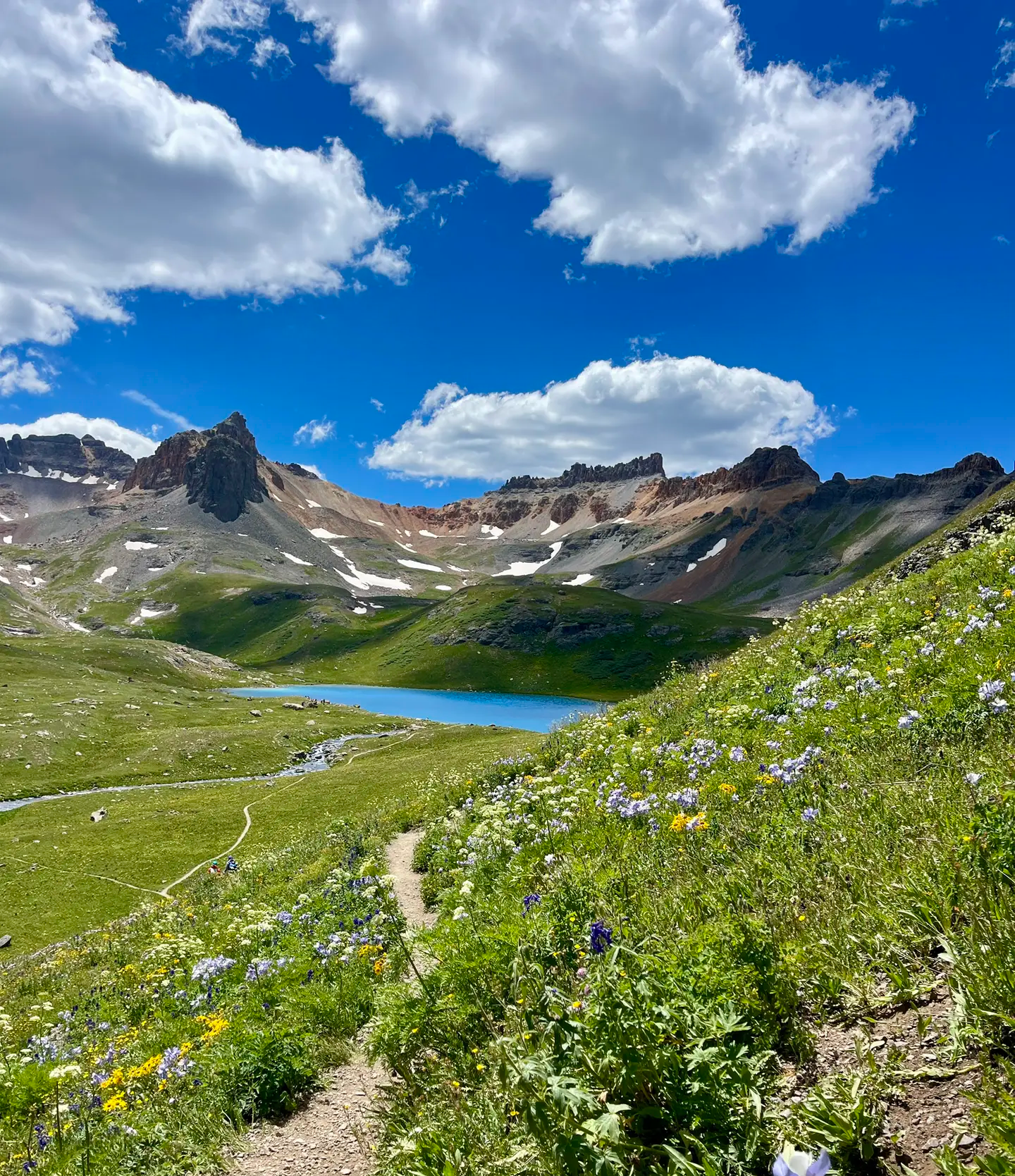
Softrock 100: Four Days Through Colorado’s Alpine Wilds
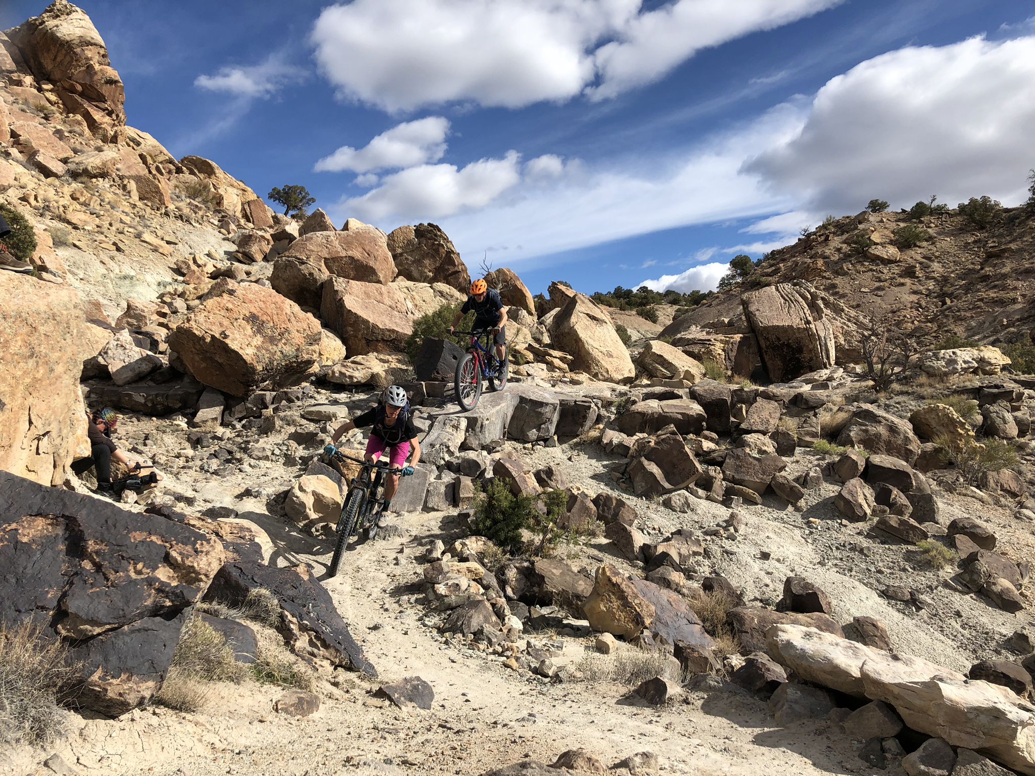
World-class desert trails in the Grand Valley

Mountain bike paradise around Salida in Colorado
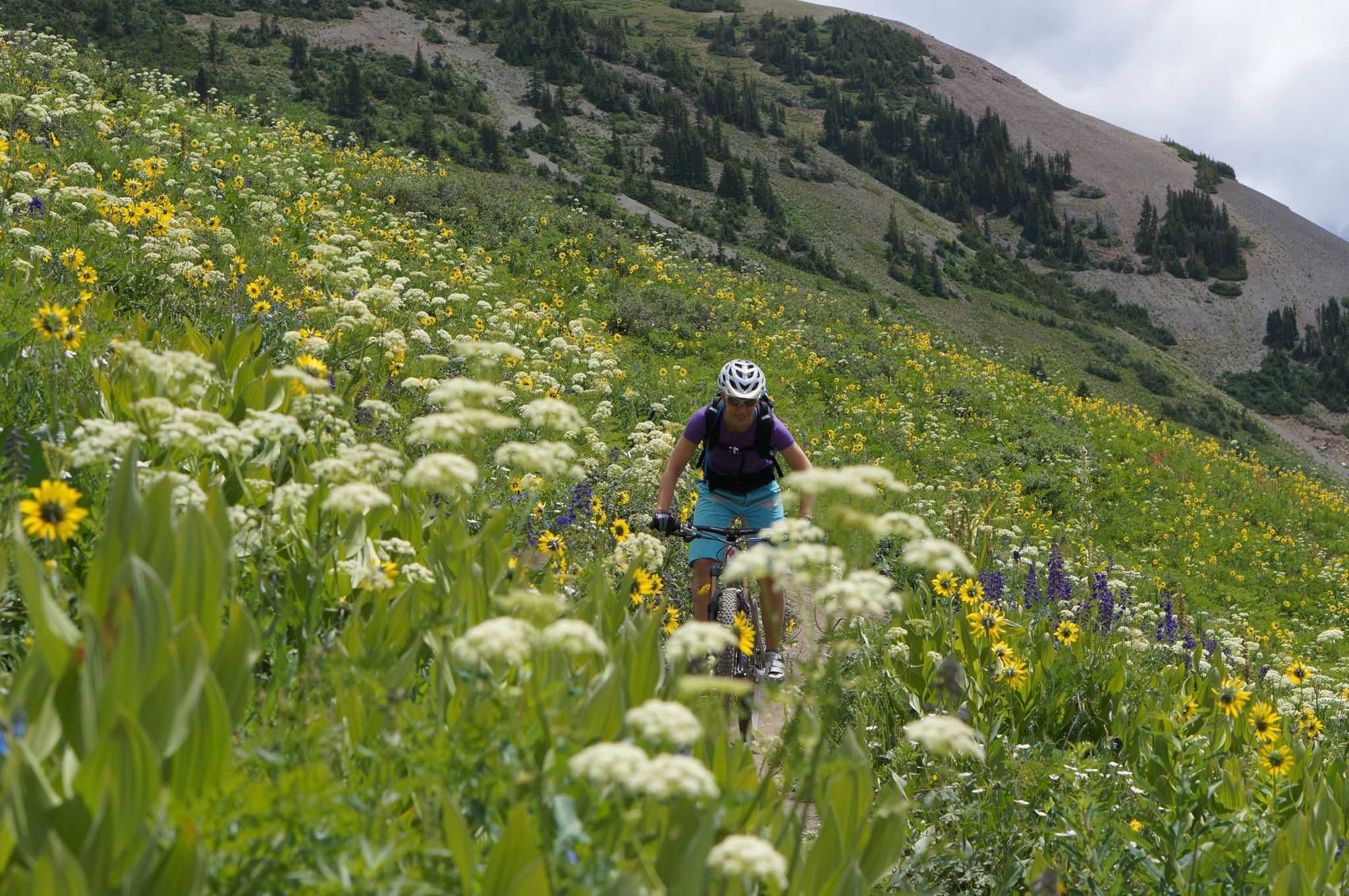
Mountain biking in the wildflower paradise of Colorado’s Crested Butte

Unforgettable MTB Adventures – IMBA Epic Trails in USA and Canada
Other adventures in Grand Mesa, Uncompahgre And Gunnison National Forests


Tips from the Community

Box Canyon Falls is where Canyon Creek cascades 85 feet into a narrow quartzite canyon surrounded by 100-foot walls. This developed park offers hiking trails, picnic areas, and a visitor center, which operates seasonally, closing in November. The park is also a significant bird area, recognized by the National Audubon Society for hosting Black Swifts, the largest swifts in North America, which migrate from Brazil each summer. Keep in mind that dogs are not allowed in the park.
0
0
Lower Cascade Falls is one of seven waterfalls in Cascade Creek and is easily accessible from the parking area. Hikers can get close enough to feel the spray of water. For those seeking more adventure, the Upper Cascade Falls can be reached via a steeper trail leading to the Chief Ouray Mine, but it's recommended only for experienced hikers. Take time to relax by the creek and enjoy the falls.
0
0

The trail to Judd Falls is a really popular trail, so you'll probably see others out there unless you go right at sunrise or sunset. The waterfall is a cascade shooting down a slot canyon, and there are views littering the side of the trail the entire way.
0
0


A few more switchbacks to climb, and you have this magnificent view of this incredible valley that is offered to you.
0
0
From the top of these 365 feet, the spectacular Bridal Veil Falls are the highest of the Colorado waterfalls. You should know that this is also the name of one of the Niagara Falls.
0
0
Here is an example of the superb facilities made by the city so that you can hike in complete safety.
1
0
You discover this pretty waterfall at the very beginning of the route. A way to start this little ballad well.
1
0
Frequently Asked Questions
How many waterfall hiking trails can I find in Grand Mesa, Uncompahgre, and Gunnison National Forests?
The region offers a diverse selection of over 15 waterfall hiking trails, catering to various skill levels. These trails traverse vast landscapes, from the alpine meadows of Grand Mesa to the rugged peaks of the San Juan Mountains.
What is the best time of year to visit the waterfalls in Grand Mesa, Uncompahgre, and Gunnison National Forests?
The best time to experience the waterfalls is typically from late spring through early fall (May to October). During this period, snowmelt feeds the falls, and the weather is generally favorable for hiking. Some higher elevation trails may remain snow-covered into early summer.
Are there any easy or family-friendly waterfall hikes in the area?
Yes, there are several easy options suitable for families. For instance, the Lower Cascade Falls Trail is a short, accessible path leading to a beautiful waterfall, often completed in about 12 minutes. The region offers 5 easy trails in total.
Can I bring my dog on waterfall hiking trails in Grand Mesa, Uncompahgre, and Gunnison National Forests?
Many trails within the National Forests are dog-friendly, but regulations can vary by specific area or wilderness designation. It's always best to check local signage or the Forest Service website for the most current rules regarding pets, and always keep your dog on a leash.
Are there any circular waterfall walks available?
Yes, for those who prefer loop trails, the Ouray Perimeter Trail is a moderate 5.0-mile loop that offers views of Ouray, Hayden Mountain, and several waterfalls along the way. This trail provides a great way to experience the scenery without retracing your steps.
What kind of terrain and elevation can I expect on these waterfall trails?
The terrain varies significantly across the three National Forests. Grand Mesa features alpine meadows and dense forests at around 10,000 feet, while Uncompahgre National Forest has rugged San Juan Mountain peaks reaching over 14,000 feet. Gunnison National Forest offers a mix of alpine tundra, valleys, and canyons. You can expect trails ranging from gentle paths to challenging ascents with significant elevation changes.
What are some notable waterfalls or viewpoints I should look for?
Beyond the trails, you can find specific highlights like Lower Cascade Falls and Canyon Creek Bridge and Falls. For stunning panoramic views that often include distant waterfalls, consider the View of Bridal Veil Falls and the power plant, or the Bridal Veil Falls Viewpoint and Trailhead.
What do other hikers enjoy most about hiking in Grand Mesa, Uncompahgre, and Gunnison National Forests?
The area is highly rated by the komoot community, with an average score of 4.8 stars from over 100 reviews. Reviewers often praise the diverse landscapes, from towering peaks and deep canyons to serene alpine lakes and, of course, the numerous cascading waterfalls.
Are there any challenging waterfall hikes for experienced hikers?
Yes, for experienced hikers seeking a challenge, routes like Bridal Veil Falls to Ajax and Telluride Peaks offer significant elevation gain and stunning rewards. Another difficult option is Copper Creek Trail to Copper Lake and East Maroon Pass, which is a longer, more strenuous journey.
Where can I find information about parking or public transport for trailheads?
While specific parking details for each trailhead vary, most popular trailheads within the National Forests offer designated parking areas. Public transport options to remote trailheads are generally limited, so planning for private vehicle access is usually recommended. Always check the specific trail information or local Forest Service resources for details on parking availability and any potential fees.
Are there any cafes or accommodation options near the waterfall trails?
The National Forests are vast, but towns like Telluride, Ouray, Gunnison, and Crested Butte are nearby and offer various cafes, restaurants, and accommodation options. You'll find more amenities in these towns than directly at remote trailheads.
What kind of wildlife might I encounter on waterfall hikes?
The diverse ecosystems of the GMUG National Forests are home to a variety of wildlife. Hikers might spot deer, elk, marmots, pikas, and various bird species. In more remote areas, there's a chance of encountering larger mammals like black bears or mountain lions, so it's always wise to be aware of your surroundings and practice wildlife safety.
Most popular routes in Grand Mesa, Uncompahgre And Gunnison National Forests
Most popular attractions in Grand Mesa, Uncompahgre And Gunnison National Forests

Get inspired with the komoot mobile app


Explore more
Browse the best Hikes in other regions.
