The best waterfall hikes and walks in Los Angeles County
4.6
(1794)
33,364
hikers
42
hikes
Waterfall hiking trails in Los Angeles County offer a diverse range of natural landscapes, from mountainous terrain to coastal views. The region is characterized by its numerous mountain ranges, including the Santa Monica Mountains and San Gabriel Mountains, which feature canyons, varied elevations, and unique geological formations. Trails often follow streams and rivers, leading to cascades and scenic pools within oak and sycamore woodlands.
Best waterfall hiking trails in Los Angeles County
- The most popular waterfall hiking route is Los…
Last updated: October 11, 2026
5.0
(1)
19
hikers
4.15km
01:06
30m
40m
The Los Angeles Arboretum Trail offers a serene escape into a world of diverse flora and fauna, making it one of the top rated easy trails in the area. You'll…
13
hikers
8.62km
02:51
400m
450m
Embark on the Gabrielino Trail, a moderate hiking route spanning 5.4 miles (8.6 km) with an elevation gain of 1312 feet (400 metres). You can expect to complete this journey…

5.0
(1)
7
hikers
12.0km
04:15
530m
640m
Embark on the Mount Zion via Sturtevant and Lower Winter Creek Trail Loop, a moderate hiking adventure that spans 7.5 miles (12.0 km) and involves a significant elevation gain of…
5.0
(1)
2
hikers
15.9km
04:35
220m
690m
Embark on the moderate Lemming Trail, a 9.9-mile (15.9 km) hike that takes you from Temescal Canyon Road all the way to the beach. You will gain 711 feet (217…
5.0
(1)
3
hikers
2.63km
00:47
120m
0m
Embark on an easy hike along the Whitney Canyon Falls Trail, a delightful 1.6-mile (2.6 km) route that guides you through a varied landscape. You will gain about 390 feet…
Get access to more routes and recommendations from other explorers.
Already have an account?
Our route recommendations are based on thousands of hikes, rides, and runs completed by other people on komoot.
Start today with a free account
Your next adventure awaits.
Popular around Los Angeles County

Waterfall hikes in the San Gabriel Mountains

Waterfall hikes in Angeles National Forest
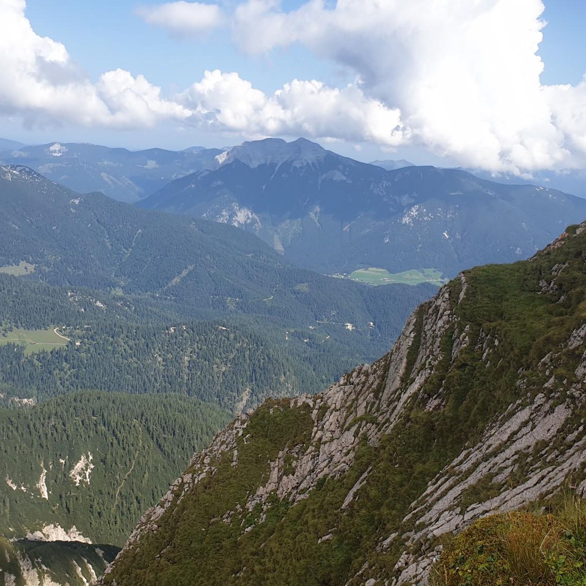
Waterfall hikes in the Santa Monica Mountains

Waterfall hikes in San Gabriel Mountains National Monument

Waterfall hikes in Santa Monica Mountains National Recreation Area

Waterfall hikes in Westridge-Canyonback Wilderness Park

Waterfall hikes in Topanga State Park

Waterfall hikes around Los Angeles

Waterfall hikes in Verdugo Mountains Open Space Preserve

Waterfall hikes in Leo Carrillo State Park
Other adventures in Los Angeles County


Tips from the Community

Topanga State Park has a lot of great trails, mostly for hikers; you have plenty of mountain bike options too, but only on the fire roads. No dogs allowed — sorry!
0
0

Chantrey Flats is the natural end for those riding the Sturtevant Trail. If you shuttled to Mt. Wilson with a friend then this is likely the end of the line for you. Others might need to ride back down to Altadena if they took the shuttle offered by SCOAoutdoors.net. And still others might be climbing their way back up to the top via the myriad of roads and trails that depart from this picnic area.
0
0

Eponymously shaped giant rock. The 💀 skull resemblace is best visible from the Temescal Ridge Trail, even more clearly a few hundred yards away. A fixed rope helps to climb onto the vertical rock. A slightly taller adjecent rock needle provides even better views
2
0
Presbyterian Conference Grounds 1922 North Temescal Canyon Road at Sunset Boulevard. This site once belonged to the Methodists and was the site of the yearly Chautauqua meetings and performances, which were a part of the cultural ‘Uplift Movement” for the common man at the turn of the century. The site includes many historic structures, including the Temescal Camp Store, Woodland Hall, Stewart Hall, several original wood cabins, several later stucco cabins, and a number of residential buildings. Additional features of the park include stone steps and retaining walls, picnic areas, restroom buildings, surface parking lots, hiking trails, and mature natural landscaping. Significant as the site of the original Chautauqua Conference Grounds, established by Methodist minister Rev. Dr. Charles Holmes Scott, founder of Pacific Palisades. The site was established as a West Coast center for the Chautauqua Movement. The Chautauqua Movement originated on the East Coast near Chautauqua Lake in New York State, and was a means for people living in rural or isolated areas to have access to art, music, culture, history, and current events. The structures developed by Rev. Dr. Scott were built in 1922. In 1943, the land was purchased by the Presbyterian Synod and used as a private retreat location. In 1994, the land was acquired by the Santa Monica Mountains Conservancy for use as a public park. Today, the site is operated by the Los Angeles Department of Recreation and Parks as Temescal Gateway Park and Temescal Canyon Conference & Retreat Center. Many historic structures remain in use today. SurveyLA – La Historic Resource Survey. https://www.pacificpalisadeshistory.org/presbyterian-conference-grounds
1
0

From here there is a perfect 360 degree view. Santa Monica mountains are completely visible in good weather
0
1

Very much weather dependant on what the water table condition is? Either way with a nice bridge on site, it is a great rest spot and might be an opportune spot to cool down or dip your buff in the water.
0
0
This intersection of trails is literally known as the 'Hub.' It is where the Backbone Trail and the Eagle Springs Fire Road crossover. It's a great place for a break and there are restrooms here too. The views of the surrounding hills are simply gorgeous and there is also some welcome shade if needed.
0
0

Gabrielino Trail offers a short cut back to the Chantry Flats parking if you decide to not continue along the Lower Winter Creek Trail. If you come to a metal bridge crossing over a stream, you are going the right way. ,
0
0
Frequently Asked Questions
How many waterfall hiking trails are available in Los Angeles County?
Los Angeles County offers a wide array of outdoor adventures, with over 40 dedicated waterfall hiking trails. These routes cater to various skill levels, from easy strolls to more challenging ascents, allowing you to explore the region's diverse natural beauty.
When is the best time of year to experience waterfalls in Los Angeles County?
The best time to experience the waterfalls in Los Angeles County is typically during the rainy season, from late winter through spring (roughly December to April). Following significant rainfall, the cascades are at their most impressive. During drier months, some waterfalls may be reduced to a trickle or even dry.
Are there any easy waterfall hikes suitable for beginners or families in Los Angeles County?
Yes, Los Angeles County has several easy waterfall hikes perfect for beginners and families. For example, the Los Angeles Arboretum Trail offers a gentle walk through varied botanical collections, which can include seasonal water features. While not a traditional waterfall hike, it provides an accessible outdoor experience. For more options, look for trails marked as 'easy' in the region, many of which are suitable for all ages.
Which waterfall trails offer stunning views in Los Angeles County?
Many waterfall trails in Los Angeles County are nestled within scenic landscapes. Trails in the Santa Monica Mountains, for instance, often combine ocean vistas with canyon and waterfall views. While specific waterfall trails are not listed with 'stunning views' in the data, routes like the Lemming Trail: Temescal Canyon Road to the Beach offer diverse scenery, including coastal views, which can be combined with exploring nearby canyons that may feature seasonal waterfalls.
Can I bring my dog on waterfall hikes in Los Angeles County?
Dog-friendly policies vary by park and trail. While many trails in Los Angeles County welcome dogs on leash, it's always best to check specific regulations for each trail or park before you go. Some popular areas like Eaton Canyon have specific rules regarding dogs near the waterfall itself. Always ensure your dog is on a leash and you clean up after them.
Are there any circular waterfall routes in Los Angeles County?
Yes, there are circular routes that incorporate waterfalls. A notable example is the Mount Zion via Sturtevant and Lower Winter Creek Trail Loop. This moderate 7.5-mile trail leads through mountainous terrain and creek beds, often featuring seasonal water flows and cascades like Sturtevant Falls, making for a rewarding loop experience.
What are some notable waterfall hikes in the Angeles National Forest?
The Angeles National Forest is home to several beautiful waterfall hikes. The Gabrielino Trail is a popular option that winds through canyons and alongside streams, providing a mix of shaded and open sections where you can encounter water features. Another section, the Gabrielino Trail: Switzer Falls to Hahamongna Watershed, specifically highlights Switzer Falls, a well-known cascade in the area.
What can I see along the waterfall hiking trails besides the waterfalls themselves?
Beyond the beautiful cascades, waterfall hiking trails in Los Angeles County offer a wealth of natural and historical sights. You might encounter unique geological formations, diverse flora and fauna, and stunning canyon landscapes. For instance, near some trails, you can find highlights like the Malibu Creek Rock Pools or the scenic Turnbull Canyon. Many trails also pass through oak and sycamore woodlands, offering a rich natural environment.
Are there any amenities or places to eat near popular waterfall trails like Eaton Canyon Falls?
While specific amenities like cafes or pubs are not directly listed for every trail, popular areas like Eaton Canyon are often located near urban centers. You can typically find various dining options and facilities in the surrounding communities. For specific details on amenities near Eaton Canyon Waterfall, it's advisable to check local resources or park websites before your visit.
What do other hikers enjoy the most about hiking in Los Angeles County?
The komoot community highly rates hiking in Los Angeles County, with an average score of 4.7 stars from over 1,700 reviews. Hikers often praise the region's diverse terrain, from mountainous paths to coastal trails, and the opportunity to discover hidden gems like seasonal waterfalls. The well-maintained paths and varied options for all skill levels are frequently highlighted as key attractions.
Are there any hidden gem waterfall hikes in Los Angeles County?
Los Angeles County has many lesser-known trails that offer a more secluded experience. While not explicitly listed as 'hidden gems' in the data, exploring trails slightly off the main routes or visiting during off-peak hours can lead to discovering tranquil spots and seasonal waterfalls. Researching local park websites or community forums can often reveal these quieter, yet equally rewarding, waterfall destinations.
What should I wear for waterfall hiking in Los Angeles County?
For waterfall hiking in Los Angeles County, it's recommended to wear comfortable, layered clothing suitable for varying temperatures, as conditions can change. Sturdy hiking shoes with good grip are essential, especially since trails near waterfalls can be wet and slippery. Bringing water, snacks, sun protection, and a light jacket is always a good idea, regardless of the season.
Most popular routes in Los Angeles County
Most popular attractions in Los Angeles County

Get inspired with the komoot mobile app


Didn’t find what you were looking for?
Check out more Hikes throughout Los Angeles County below and find the perfect route in your destination.
Explore more
Browse the best Hikes in other regions.
