The best cycling routes in Golden Gate Canyon State Park
4.5
(2)
216
riders
10
rides
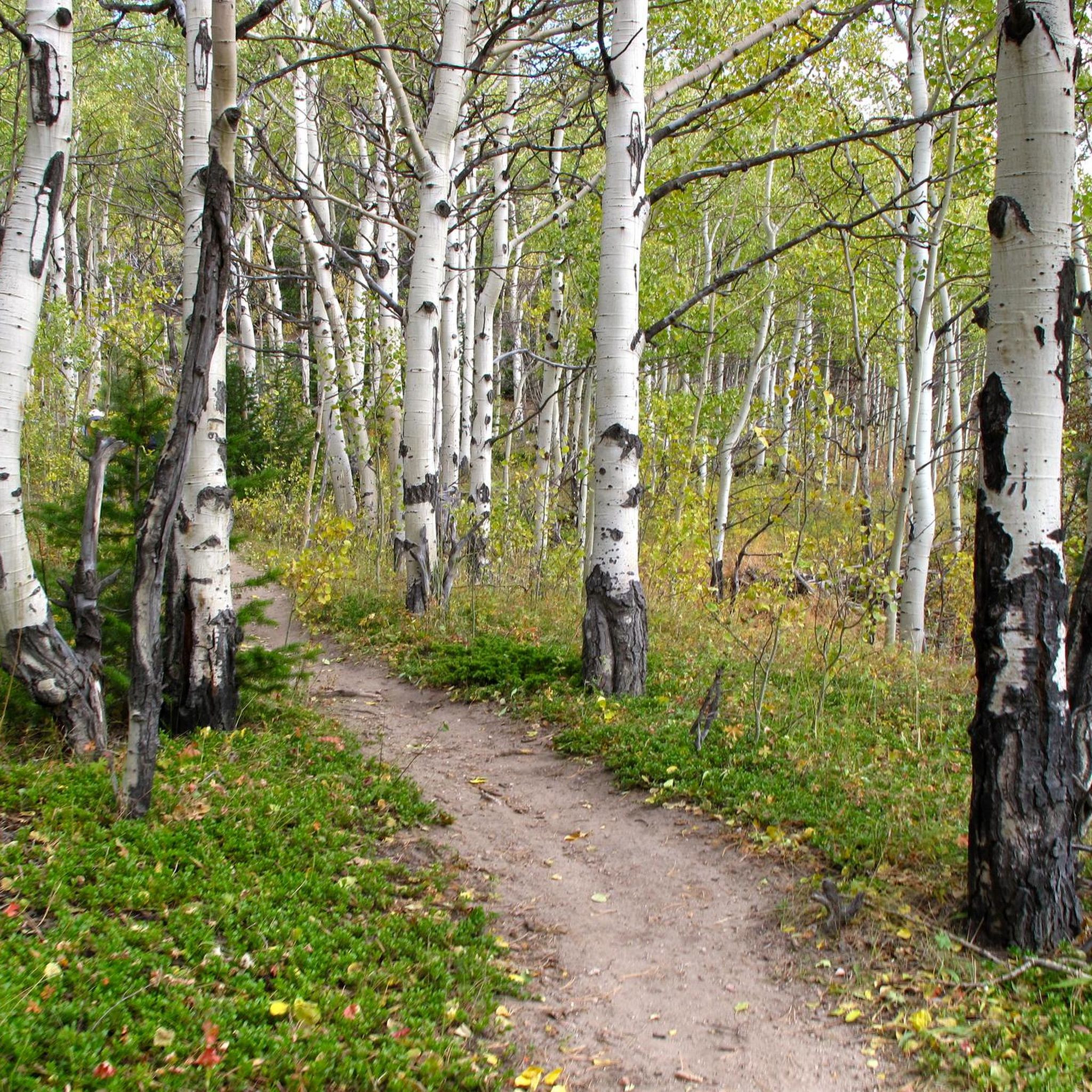
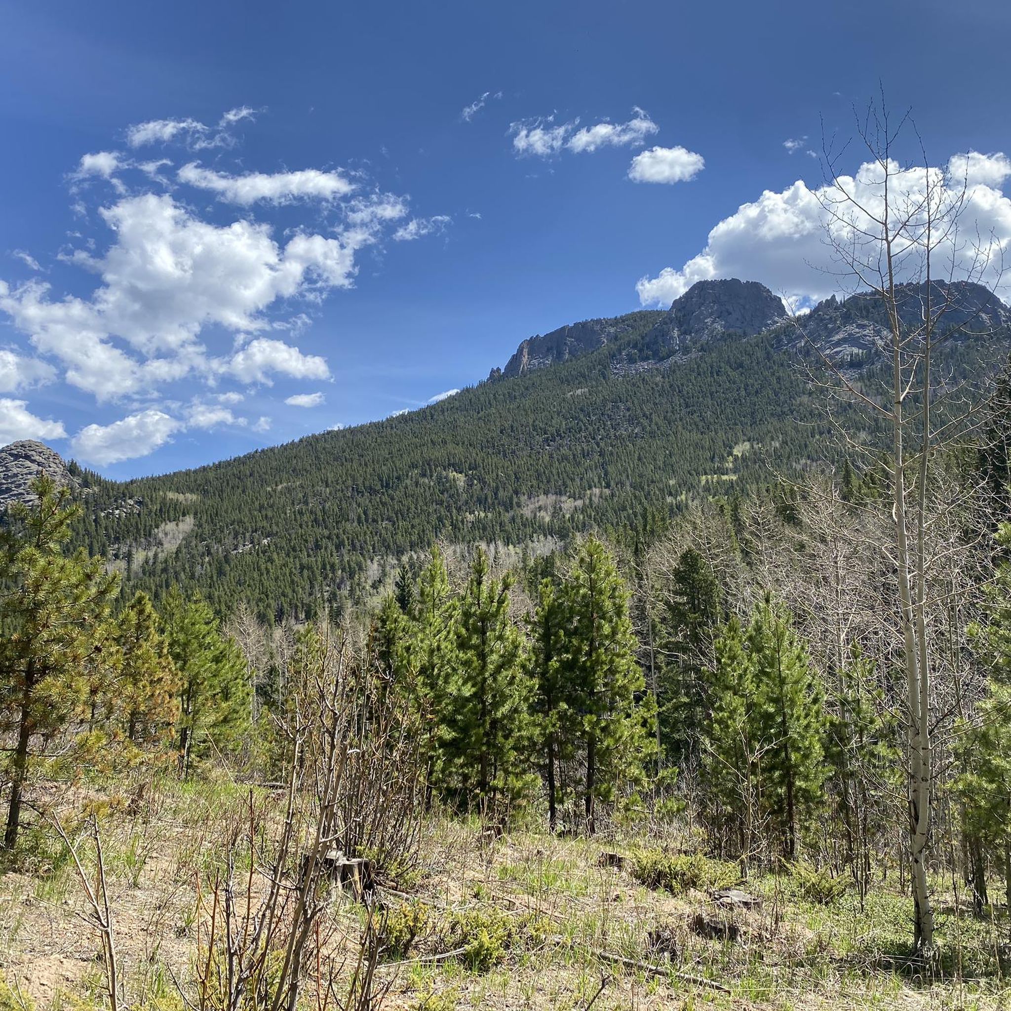
Touring cycling in Golden Gate Canyon State Park offers routes through over 12,000 acres of varied terrain, characterized by lush forests, mountain meadows, and rugged peaks. The park features diverse landscapes, including aspen groves and dense coniferous forests, with elevations providing views of the Rocky Mountains. Cyclists can explore areas with Precambrian rock formations and ride alongside streams that shape the park's environment. This region provides a range of natural features for touring cyclists.
Best touring cycling routes in Golden…
Last updated: October 10, 2026
The Mount Thomas & Mule Deer Trail loop offers a robust cycling experience through the varied mountain landscapes of Golden Gate Canyon State Park. You'll traverse dense pine and aspen…
1
riders
54.9km
04:57
1,330m
1,330m
Embark on a challenging touring cycling adventure through the James Peak Wilderness, where the Moffat Tunnel, Tolland & Rollinsville loop offers a rugged journey across diverse terrain. You'll navigate gravel…

4.0
(1)
123
riders
43.7km
03:15
1,050m
1,050m
If you're looking for a serious challenge with incredible payoffs, the Idaho Springs to Echo Lake and Lodge touring bicycle route delivers. This difficult 27.2-mile (43.7 km) ride ascends through…
20
riders
69.3km
05:05
1,590m
1,590m
The Echo Lake and Mestaa'Ėhehe Pass to Evergreen loop offers a challenging touring cycling experience through diverse Rocky Mountain landscapes. You'll pedal past the tranquil Echo Lake, climb through dense…
5.0
(1)
18
riders
74.6km
05:27
1,680m
1,680m
The Echo Lake, Squaw Pass & the Scott Lancaster cycle trail loop from Idaho Springs offers a diverse and challenging ride through Colorado's mountains. You'll experience the intense climbs of…
Get access to more routes and recommendations from other explorers.
Already have an account?
Our route recommendations are based on thousands of hikes, rides, and runs completed by other people on komoot.
Start today with a free account
Your next adventure awaits.
Tips from the Community

Has been a good ride through some of the winter weeks but cold in places.
0
0


Idaho Springs, Colorado, is a small former mining town just off of I-70. This is a great place for hikers, cyclists, and trail runners to start or end an outdoor adventure; with its blend of history, local shops and restaurants, and natural beauty this is a must-stop for anyone visiting Colorado.
0
0

Mestaa'Ėhehe Pass (formerally Squ*w Pass) Summit is located at just over 9,800 feet. This is a popular area for cyclists in the summer time as the temperatures are significantly cooler than in Denver. This also marks the spot where most typically finish the bulk of their climbing. If you are heading back to Idaho Springs or Denver, it's mostly downhill with some great descending.
0
0

Juniper Pass lies below Warrior Mountain on the Colorado Highway 103. It's a long, steady climb from the east, winding up between trees and offering excellent views. A popular cycling road, there are normally lots of bikes and not too many cars.
0
0
This visitor center is where hikers buy their parking permits, but is also a great spot to top off water bottles on a bike ride. The building is open 9am-4pm every day, so time it accordingly if you need to stop for water. On the inside, there is a small gift shop, some taxidermy, and a few informational displays.
0
0
Frequently Asked Questions
How many touring cycling routes are available in Golden Gate Canyon State Park?
There are 12 touring cycling routes available in Golden Gate Canyon State Park. These routes offer a variety of experiences through the park's diverse terrain, from lush forests to rugged peaks.
What is the typical difficulty level for touring cycling routes in Golden Gate Canyon State Park?
Most touring cycling routes in Golden Gate Canyon State Park are considered difficult, with 11 out of 12 routes falling into this category. They often feature significant elevation changes and mountainous terrain, providing a challenging experience for cyclists. There is also 1 moderate route available.
Are there any circular touring cycling routes in Golden Gate Canyon State Park?
Yes, several routes offer a circular experience, allowing you to start and end at the same point. An example is the Mount Thomas & Mule Deer Trail loop from Golden Gate Canyon Visitor Center, which winds through varied forest and meadow landscapes.
What kind of scenery can I expect while touring cycling in Golden Gate Canyon State Park?
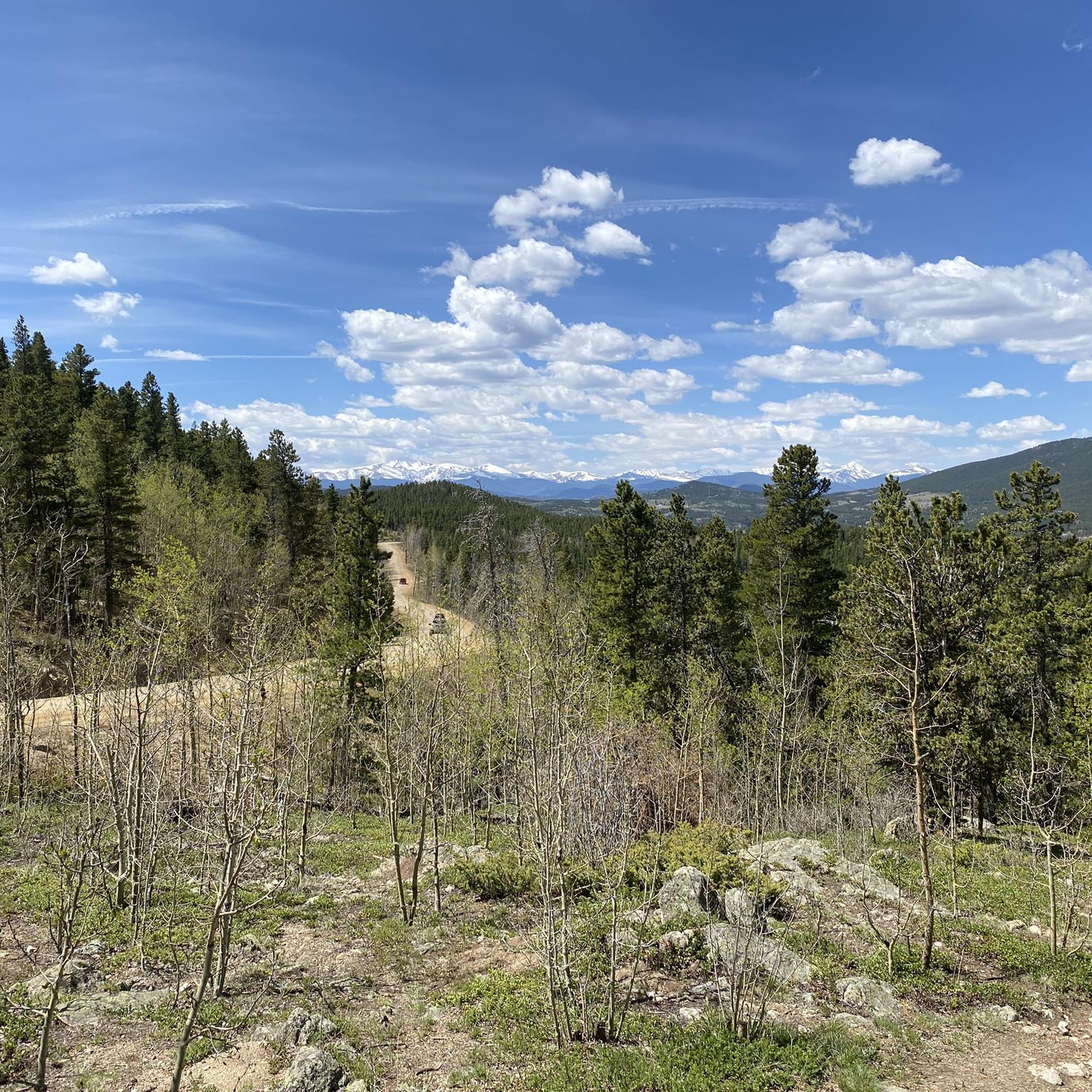
Cyclists can expect diverse and breathtaking scenery. Routes traverse lush forests, mountain meadows, aspen groves, and dense coniferous forests. The landscape transforms beautifully with the seasons, especially in fall when aspens turn golden. You'll also encounter rugged peaks and spectacular views of the Rocky Mountains, including the Continental Divide from points like Panorama Point.
Are there any family-friendly touring cycling options in Golden Gate Canyon State Park?
While many routes are rated difficult, the park's extensive trail system includes multi-use trails that vary in difficulty. For families, it's recommended to research specific trail conditions and elevation profiles to find sections that are less strenuous. The Mule Deer Trail, for example, is noted for its scenic beauty through wildflowers and rolling hills.
What kind of wildlife might I encounter on the cycling routes?
Golden Gate Canyon State Park is home to a diverse array of wildlife. Cyclists might spot moose, mule deer, black bears, and various bird species. Maintaining a respectful distance and being aware of your surroundings is always recommended.
What are some notable viewpoints or attractions along the cycling routes?
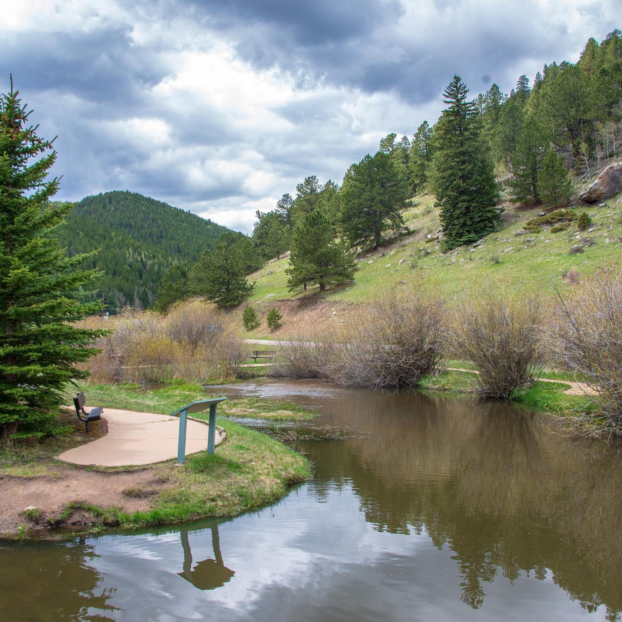
A must-see is Panorama Point Scenic Overlook, offering 100-mile views of the Continental Divide. You might also encounter historic homesteads, such as John Frazer's Cabin, adding a historical dimension to your ride. The park also features creeks and ponds like Tallman Ranch Pond.
When is the best time of year to go touring cycling in Golden Gate Canyon State Park?
The park offers beautiful cycling experiences throughout the year, but the fall is particularly stunning when the aspen groves turn a brilliant gold. Spring and summer provide lush greenery and wildflowers. Always check weather conditions, especially for winter biking, as mountain weather can change rapidly.
What do other touring cyclists enjoy most about cycling in Golden Gate Canyon State Park?
The area is highly rated by the komoot community, with an average score of 4.5 stars. Reviewers often praise the diverse landscapes, from lush forests to mountain meadows, and the challenging yet rewarding routes that offer spectacular views of the Rocky Mountains.
Are there any long-distance touring cycling routes that explore beyond the immediate park boundaries?
Yes, some routes extend into the surrounding mountainous regions. For instance, the Moffat Tunnel, Tolland & Rollinsville loop from Black Hawk trailhead is a difficult 34.1-mile path that explores mountainous terrain with significant elevation changes, venturing towards areas like the Moffat Tunnel.
Can I find routes that lead to high-altitude lakes?
Yes, there are routes designed to take you through mountainous landscapes towards high-altitude lakes. An example is the Idaho Springs to Echo Lake and Lodge route, which offers a scenic journey to a beautiful mountain lake.
What are the geological features I might observe while cycling?
The park's geology features Precambrian rocks, including gneiss, quartz, quartzite, and monzonite. You can observe these formations, especially near prominent areas like Blue Mountain and Centralia Mountain, adding an interesting geological dimension to your ride.
Most popular routes in Golden Gate Canyon State Park
Most popular attractions in Golden Gate Canyon State Park

Get inspired with the komoot mobile app


Explore more
Browse the best Cycling routes in other regions.
