The best running trails in Hacklebarney State Park
107
runners
12
runs
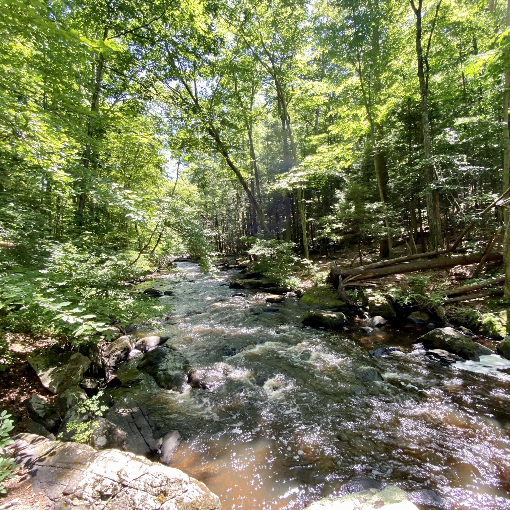
Hacklebarney State Park jogging routes traverse a dramatic glacial valley, carved by the Black River and its tributaries, Rinehart and Trout Brooks. The park features a hemlock-lined ravine with cascading waters and rock-strewn terrain, providing a varied backdrop for running. Joggers will encounter mixed oak-hardwood forests, young woodlands, and steep ravines, offering a challenging and engaging experience. The topography includes occasional uphill sections, contributing to a robust workout.
Best jogging routes in Hacklebarney State Park
- The most popular jogging route…
Last updated: October 15, 2026
3
runners
3.73km
00:25
30m
30m
Easy run. Great for any fitness level. Mostly paved surfaces. Suitable for all skill levels.
17
runners
21.1km
02:29
30m
30m
Hard run. Very good fitness required. Mostly paved surfaces. Suitable for all skill levels.

6
runners
16.4km
01:44
170m
170m
Hard run. Very good fitness required. Mostly paved surfaces. Suitable for all skill levels.
17
runners
19.9km
02:03
50m
50m
Hard run. Very good fitness required. Mostly paved surfaces. Suitable for all skill levels.
3
runners
7.04km
00:47
80m
80m
Moderate run. Good fitness required. Mostly paved surfaces. Suitable for all skill levels.
Get access to more routes and recommendations from other explorers.
Already have an account?
Our route recommendations are based on thousands of hikes, rides, and runs completed by other people on komoot.
Start today with a free account
Your next adventure awaits.
Tips from the Community

The old train station was built in the late 1800s for the Central Railroad of New Jersey. Today, it serves as a hub for the Califon Historical Society and access point for the Columbia Rail Trail. Supposedly, the name Califon comes from a shortening of "California", since the painter creating the station map didn't leave enough room for the original title.
0
0
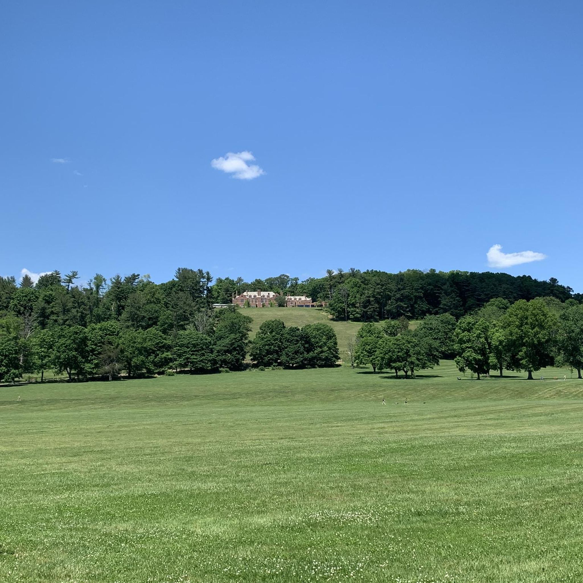
You can reserve alpaca visits on the weekends. They also offer private events. You can even do yoga with alpacas, if you are so inclined. See if you can spot any of the animals as you ride by!
0
0

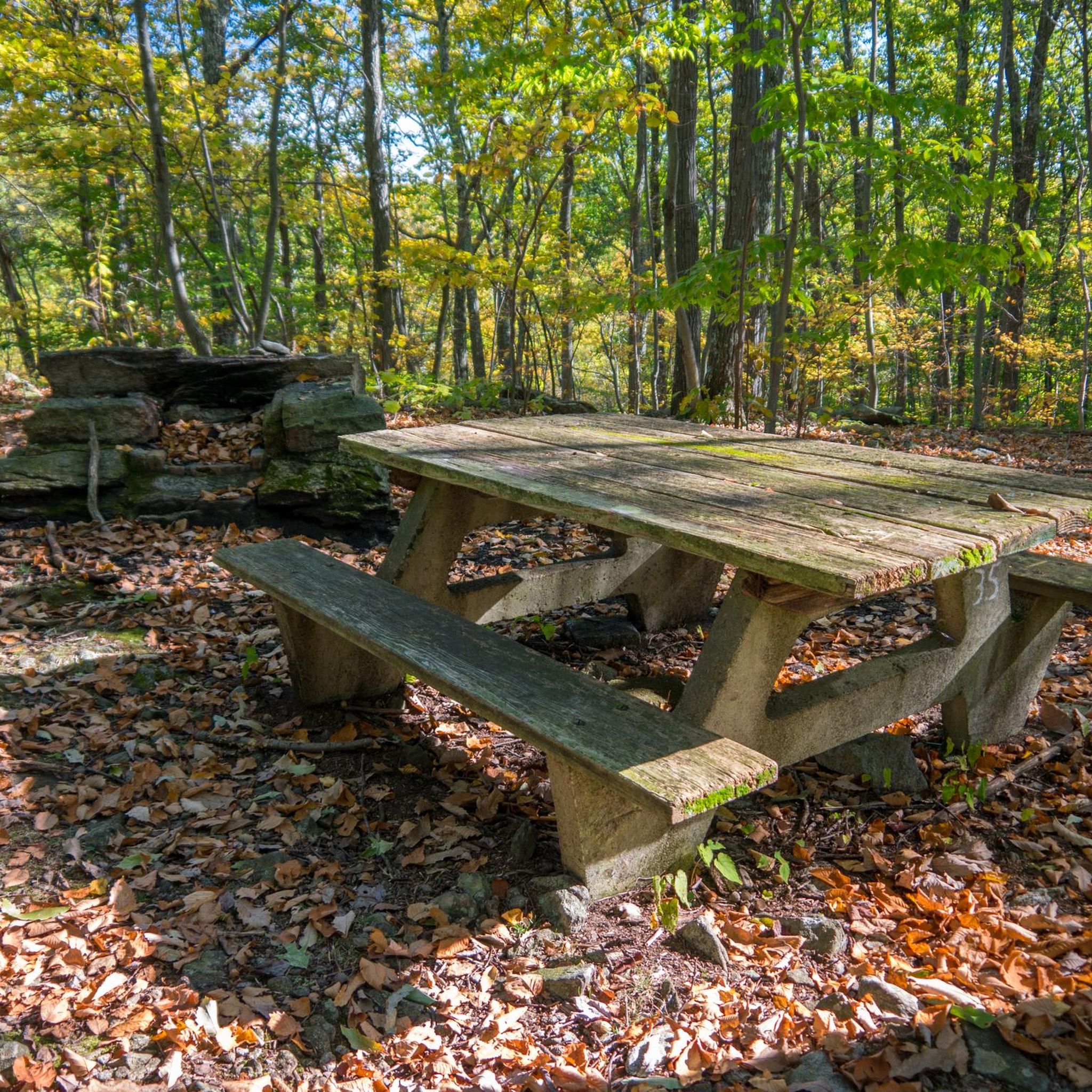
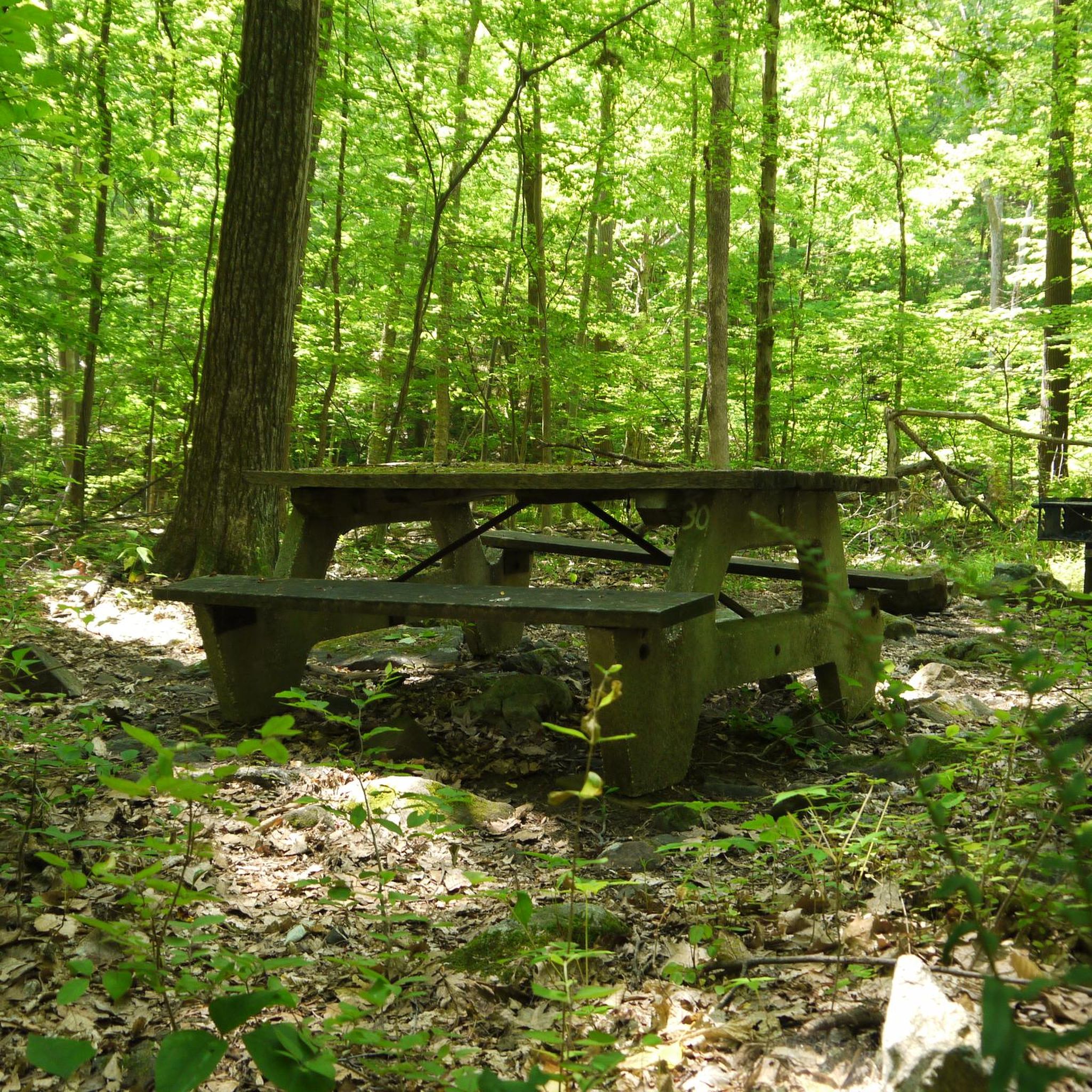
This lake is a popular fishing spot, equipped with fishing blocks along the shore and docks for angling. There are also conveniently placed picnic tables where you can take a break. During the winter, this area becomes popular for activities like ice fishing and cross-country skiing.
0
0
Frequently Asked Questions
How many running routes are available in Hacklebarney State Park?
Hacklebarney State Park offers a selection of 10 dedicated jogging routes. These routes cater to various fitness levels, ranging from moderate paths to more challenging trails through the park's diverse terrain.
What kind of terrain can I expect on the jogging trails in Hacklebarney State Park?
The park's jogging trails feature a varied and engaging terrain. You'll encounter a dramatic glacial valley, hemlock-lined ravines, and mixed oak-hardwood forests. While some sections, particularly along the Black River, can be rugged, rocky, and root-filled, other trails are wider gravel paths, providing options for different preferences. Expect occasional uphill sections that offer a good workout.
Are there any waterfalls or scenic natural features to see while running in Hacklebarney State Park?
Yes, Hacklebarney State Park is known for its beautiful natural features. The Black River briskly cuts through the park, creating a hemlock-lined ravine with cascading waters around boulders. You can also find several small waterfalls, especially visible from the high trails where Rinehart and Trout Brooks flow into the Black River. The Horseshoe Lake loop from Chester offers a demanding experience through this rugged and wooded landscape.
What is the difficulty level of running routes in Hacklebarney State Park?
The park offers a mix of difficulty levels. You'll find 6 moderate routes and 4 difficult routes. For example, the Alpaca Farm – Bluebird Farm Alpacas loop from Gladstone is a difficult 10.2-mile path with varied terrain and notable elevation changes, while the Califon Train Station loop from Teetertown Preserve is a moderate 4.8-mile trail.
Are there any family-friendly running trails in Hacklebarney State Park?
While the park's trails can be rugged, some sections are more suitable for families. The Main Trail, a five-foot-wide packed gravel path, offers a less strenuous option and provides access to most other trails. The overall park environment, with its diverse wildlife and picnic areas, can make for an enjoyable family outing, even if some running sections are more challenging.
Can I bring my dog on the jogging routes in Hacklebarney State Park?
Hacklebarney State Park is generally dog-friendly, allowing leashed dogs on its trails. This makes it a great place to enjoy a run with your canine companion amidst the park's natural beauty. Always ensure your dog is on a leash and you clean up after them.
What do other runners enjoy most about jogging in Hacklebarney State Park?
The running routes in Hacklebarney State Park are highly rated by the komoot community, with an average score of 4.0 stars. Runners often praise the park's dramatic glacial valley, the refreshing environment of the Black River Gorge, and the varied terrain that provides an engaging and visually stimulating experience. The presence of cascading waters and diverse wildlife also adds to the appeal.
Are there any loop running trails in Hacklebarney State Park?
Yes, many of the park's trails are designed as loops, offering a convenient way to explore without retracing your steps. A popular example is the Horseshoe Lake loop from Chester, a 13.1-mile route, or the Califon Train Station loop from Teetertown Preserve, which is 4.8 miles long.
What kind of wildlife might I encounter on a run in Hacklebarney State Park?
Hacklebarney State Park is a diverse habitat supporting a variety of wildlife. Joggers might spot over 100 species of birds, especially during migration, as well as mammals like black bear, woodchuck, deer, and fox. The park's preserved ecosystem, with its mixed oak-hardwood forests and hemlock-lined slopes, provides a rich environment for these creatures.
What are some of the key trails for runners in Hacklebarney State Park?
Key trails suitable for running include the Riverside Trail, which follows the major waterways and offers scenic vistas and waterfalls, though sections can be rough. The Main Trail is a wider, packed gravel path providing easier access. The Haki Trail gently descends along the forested hillside. For specific routes, consider the Califon Train Station – Ken Lockwood Gorge loop from West Morris Central High School for a longer, challenging run.
Is there parking available for Hacklebarney State Park?
While specific parking locations are not detailed in the route data, Hacklebarney State Park is a well-established state park, and parking facilities are typically available for visitors accessing the trails. It's advisable to check the official park website for current parking information and any potential fees or restrictions before your visit.
Are there any challenging running routes for experienced runners?
Absolutely. Hacklebarney State Park offers several challenging routes for experienced runners. For instance, the Califon Train Station – Ken Lockwood Gorge loop from Long Valley is a difficult 28 km (17.4 miles) route with significant elevation changes, providing a robust workout through the park's rugged landscape.
Most popular routes in Hacklebarney State Park

Get inspired with the komoot mobile app


Explore more
Browse the best Running Trails & Routes in other regions.
