Westridge-Canyonback Wilderness Park
Westridge-Canyonback Wilderness Park
The best road cycling routes in Westridge-Canyonback Wilderness Park
4.6
(93)
6,377
riders
101
rides
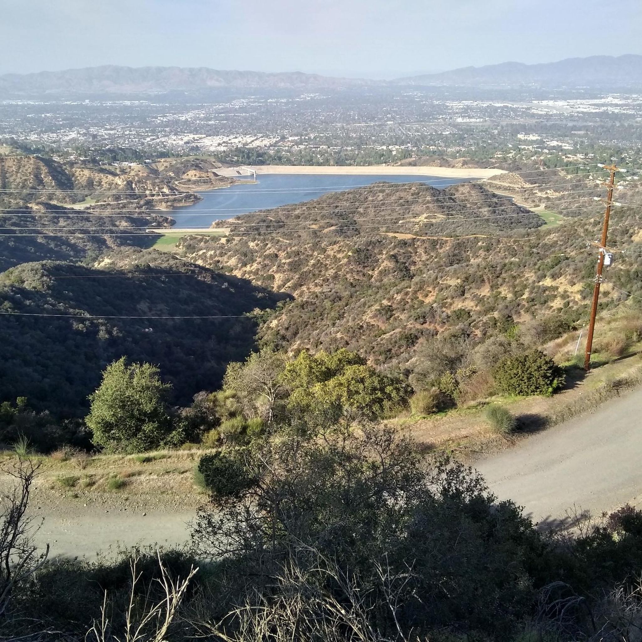
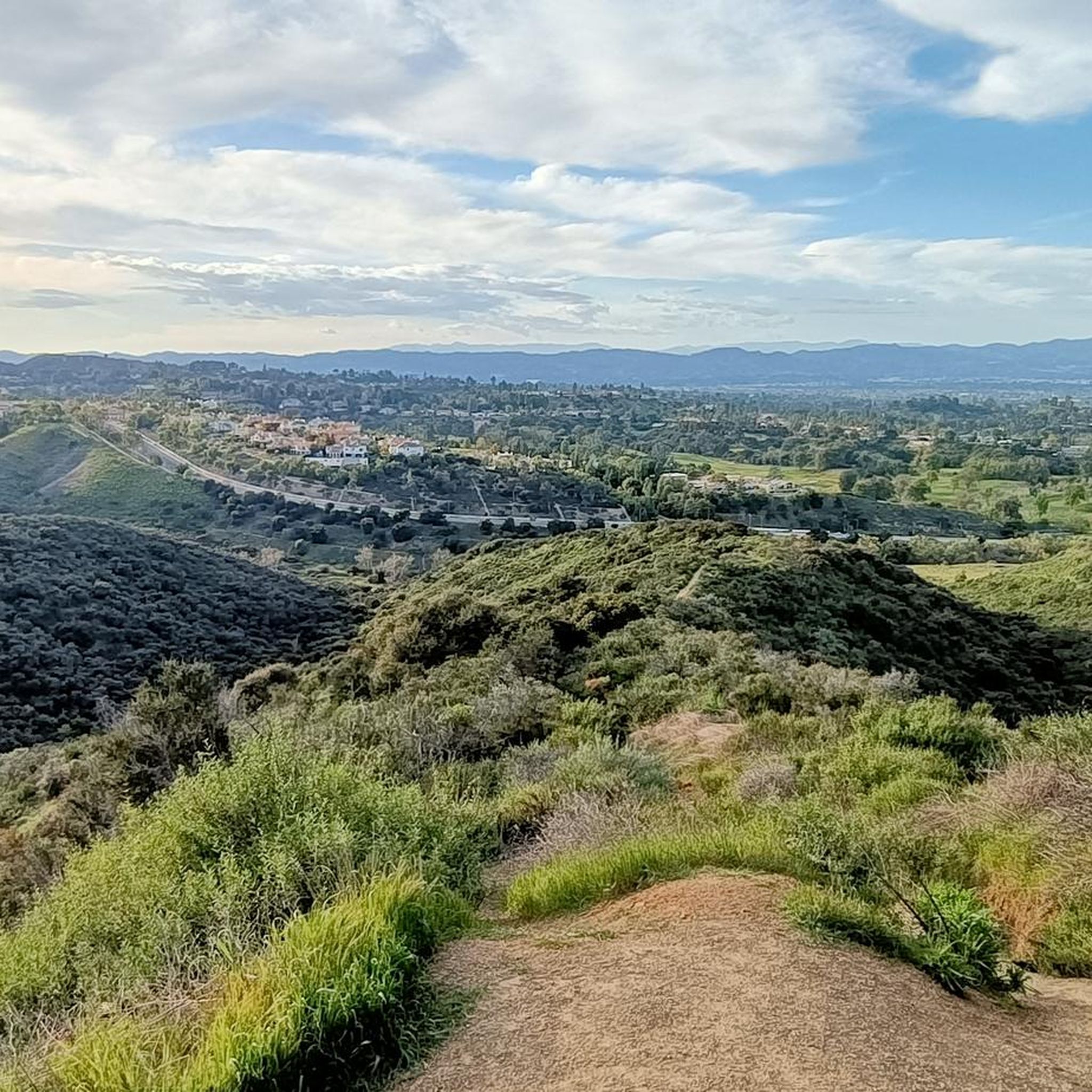
Road cycling in Westridge-Canyonback Wilderness Park offers routes through an expansive natural area within the eastern Santa Monica Mountains. The terrain features deep canyons and prominent ridgelines, characterized by Southern California chaparral and oak groves. While many internal routes are unpaved fire roads, some access points and perimeter roads may offer paved surfaces. Riders can experience panoramic views of the Los Angeles Basin, the San Fernando Valley, and the Pacific Ocean.
Best road cycling routes in Westridge-Canyonback Wilderness Park
- The…
Last updated: July 10, 2026
3
riders
97.9km
04:45
1,410m
1,410m
This difficult 60.9-mile road cycling loop from the Lower Tram Station offers challenging climbs and panoramic views of Los Angeles.
5.0
(1)
19
riders
75.6km
04:04
1,250m
1,250m
Hard road ride. Very good fitness required. Mostly well-paved surfaces and easy to ride.

Sign up for free
5.0
(1)
28
riders
24.4km
01:17
270m
270m
Easy road ride. Great for any fitness level. Mostly well-paved surfaces and easy to ride.
4.0
(1)
14
riders
39.8km
01:48
390m
390m
Moderate road ride. Good fitness required. Mostly well-paved surfaces and easy to ride.
3.0
(1)
12
riders
35.2km
02:01
730m
730m
Moderate road ride. Good fitness required. Mostly well-paved surfaces and easy to ride.
Get access to more routes and recommendations from other explorers.
Sign up for free
Already have an account?
Our route recommendations are based on thousands of hikes, rides, and runs completed by other people on komoot.
Start today with a free account
Your next adventure awaits.
Login or Signup
Popular around Westridge-Canyonback Wilderness Park
Tips from the Community

Pedalers Fork is a unique combination of a restaurant, bar, coffee shop, and boutique bike shop in the heart of Calabasas. It offers delicious farm-to-table dining and artisan coffee with a casual vibe and a great patio, making it a fantastic place to relax after a ride.
0
0

Explore the vintage and contemporary homes of historic Adelaide Drive while enjoying ocean and hillside views. In the early 20th century, wealthy pioneer families built coastal residences here, and five of these homes still stand as designated landmarks. Notable current residents include artist Don Bachardy, architect Frank Gehry, animator Matt Groening, and author Mona Simpson. Thanks to preservation efforts, Adelaide Drive retains much of its history.
1
0
Will Rogers State Beach stretches 1.75 miles along the shoreline and offers activities like swimming and diving. Visitors can enjoy public volleyball courts, playgrounds, gymnastic equipment, and the bike path. Will Rogers is a popular filming location for movies and TV shows, this beach is operated by Los Angeles County. Note that the California State Parks Annual Day Use Pass is not accepted here.
1
0

Food, coffee and tools
1
0

Across from the modern campus is a good Vista point
0
0

a beautiful bicycle highway like you would wish for here in Germany. There are several restaurant options and opportunities for beach visits right along the Pacific coast
0
0

As you traverse these extensive stretches of beachfront obstructed by private estates, you may find solace in the modest confines of this narrow rocky shore in Malibu. Dubbed Big Rock Beach, it earns its name from the sizable rock formation just offshore, a haven for seabirds and basking seals. Thanks to California's public beach laws, the entirety of Big Rock Beach remains accessible to all, as the mean high tide delineates its boundary. During lower tides, the sandy expanse expands, revealing a wider beachfront flanked by waterfront residences.
0
0
Nestled at the foot of the expansive Topanga State Park in the Santa Monica Mountains, Topanga Beach stands as the nearest Malibu shoreline to Los Angeles, situated at the eastern edge adjacent to the Pacific Palisades neighborhood. Taking a leisurely roll down the ramp to the beach offers a refreshing respite worth indulging in.
0
0
Frequently Asked Questions
How many road cycling routes are available in Westridge-Canyonback Wilderness Park?
Westridge-Canyonback Wilderness Park offers over 120 road cycling routes. These routes cater to various skill levels, with approximately 39 easy, 58 moderate, and 26 difficult options available for exploration.
Are the road cycling routes in Westridge-Canyonback Wilderness Park primarily paved?
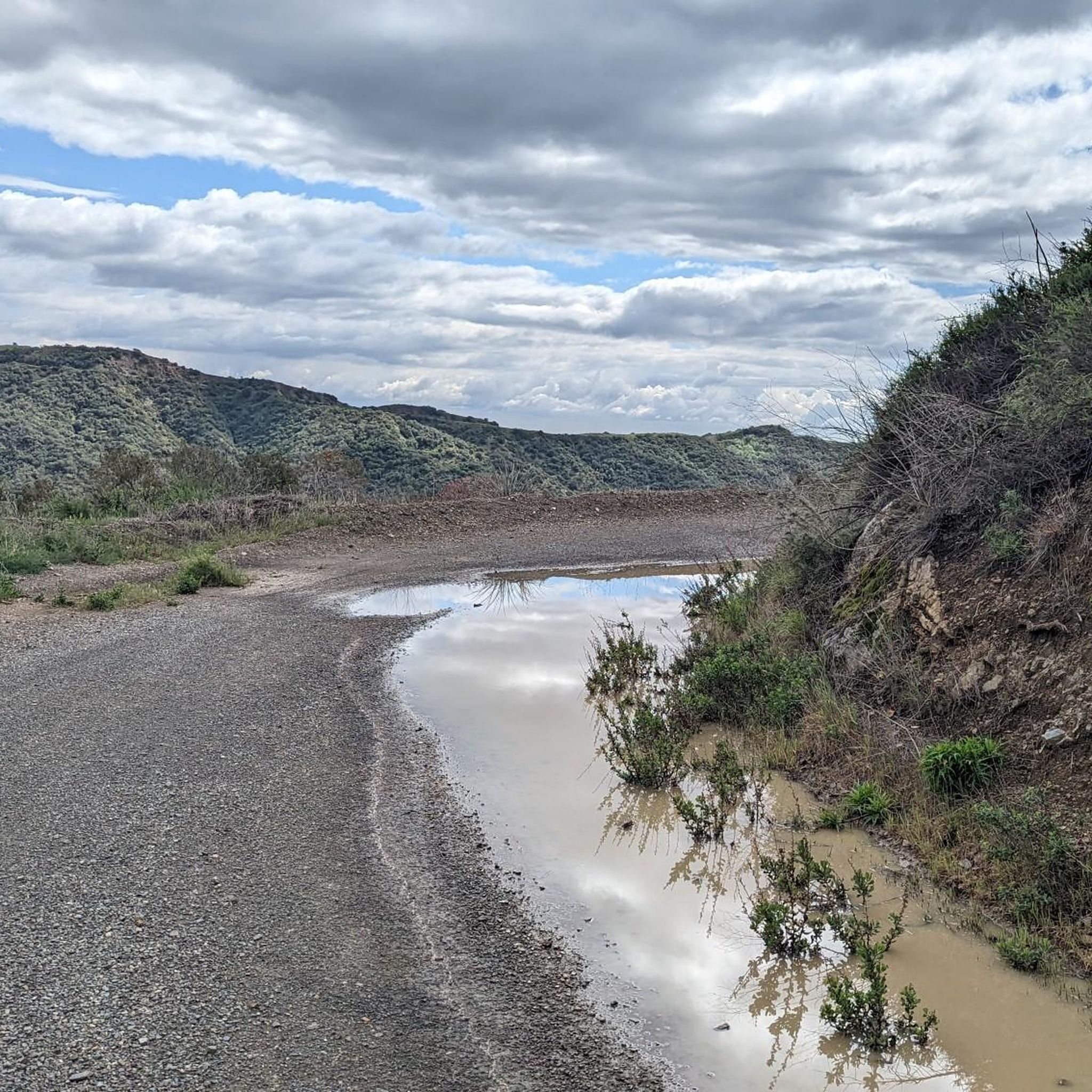
While the park is renowned for its scenic beauty, many of its internal routes, particularly the extensive network of fire roads, are unpaved. These are generally more suitable for gravel bikes or road bikes equipped with wider, more durable tires. Traditional thin-tire road cycling might be limited to access points or specific perimeter roads.
What scenic views and attractions can I expect on road cycling routes in Westridge-Canyonback Wilderness Park?
Cyclists can enjoy breathtaking panoramic views of the Los Angeles Basin, the San Fernando Valley, downtown LA, Century City, and the Pacific Ocean. Notable attractions include the historic San Vicente Mountain Nike Missile Radar Tower and the San Vicente Mountain Viewpoint, which offer 360-degree vistas. The West Mandeville Fire Road is also a popular route known for expansive views.
Are there any challenging road cycling routes in the park?
Yes, the park features several challenging routes. For instance, the Mulholland Drive & Burbank loop from Lower Tram Station is a difficult 60.9-mile path with significant elevation gain, often taking nearly 5 hours to complete. Another difficult option is the Melhorn Overlook – Muholland Drive loop from Stephen S. Wise Temple, spanning 32.4 miles.
What is the best time of year to road cycle in Westridge-Canyonback Wilderness Park?
The park can be enjoyed year-round, but it's important to note that shade is limited, especially after fires. Planning your ride during cooler parts of the day or in milder seasons is advisable. Always carry sufficient water, particularly during warmer months.
Are there any loop routes for road cycling in Westridge-Canyonback Wilderness Park?
Yes, many routes in the park are designed as loops. A popular moderate option is The Groves Overlook – Johnson Overlook loop from Santa Monica Mountains, which is 18.6 miles long. For a longer moderate loop, consider the Melhorn Overlook – Johnson Overlook loop from Lower Tram Station, covering nearly 31 miles.
Is Westridge-Canyonback Wilderness Park suitable for family-friendly road cycling?
The park's terrain, characterized by deep canyons and ridgelines, often involves moderate to difficult climbs and unpaved fire roads. While some sections might be manageable for families with older, experienced riders on appropriate bikes (like gravel bikes), traditional road cycling with young children might be challenging due to the surfaces and elevation changes. It's best to check individual route details for suitability.
Where can I find parking for road cycling in Westridge-Canyonback Wilderness Park?
Access points like San Vicente Mountain Park often provide parking. This historic site also serves as a gateway to the larger wilderness area. For specific trailhead parking information, it's recommended to check the details of your chosen route on komoot or consult official park resources like the MRCA website.
What do other road cyclists enjoy most about Westridge-Canyonback Wilderness Park?
The area is highly rated by the komoot community, with an average score of 4.5 stars from over 60 reviews. Cyclists frequently praise the unparalleled scenic beauty, the challenging rides, and the panoramic views of the Los Angeles Basin and the Pacific Ocean. The diverse terrain and the sense of being in a natural wilderness close to the city are also often highlighted.
Are permits required for cycling in Westridge-Canyonback Wilderness Park?
Generally, permits are not required for cycling on the designated trails and fire roads within Westridge-Canyonback Wilderness Park. However, it's always a good practice to check the latest regulations from official sources like the Mountains Recreation & Conservation Authority (MRCA) before your visit, as rules can change.
What should I bring for road cycling in Westridge-Canyonback Wilderness Park?
Given the park's limited shade and varied terrain, it's crucial to bring plenty of water, especially on longer rides. Sun protection (sunscreen, hat) is highly recommended. If you're riding on unpaved fire roads, ensure your bike is equipped with appropriate tires, and consider carrying a repair kit. Sharing trails with hikers and horseback riders means being mindful and alert.
Can I access Westridge-Canyonback Wilderness Park by public transport for cycling?
While the park is within the urban sprawl of Los Angeles, direct public transport access to specific trailheads can be limited. It's advisable to research public transportation options to the general vicinity and plan for a short ride or transfer to reach the park's access points. Checking local transit authority websites for routes serving the Santa Monica Mountains area is recommended.
Most popular routes in Westridge-Canyonback Wilderness Park
Most popular attractions in Westridge-Canyonback Wilderness Park

Get inspired with the komoot mobile app


Explore more
Browse the best Road cycling routes in other regions.
