The best road cycling routes in Antonovich Open Space Preserve
4.8
(31)
922
riders
29
rides
Road biking Antonovich Open Space Preserve offers routes through a diverse landscape characterized by canyons, rolling hills, and woodlands. While dedicated paved road cycling routes within the preserve are limited, the surrounding areas provide an extensive network of trails with varied terrain. The region features significant elevation changes, making it suitable for challenging road cycling experiences. These routes often traverse areas with mixed woodlands and chaparral vegetation, providing scenic views across canyons and hills.
Best road cycling routes in Antonovich…
Last updated: July 10, 2026
65
riders
86.3km
04:19
1,110m
1,110m
Hard road ride. Very good fitness required. Mostly well-paved surfaces and easy to ride.
40
riders
83.5km
04:00
970m
970m
Hard road ride. Very good fitness required. Mostly well-paved surfaces and easy to ride.

Sign up for free
5.0
(10)
97
riders
31.7km
01:23
140m
140m
Easy road ride. Great for any fitness level. Mostly well-paved surfaces and easy to ride.
31
riders
64.7km
02:57
580m
580m
Moderate road ride. Good fitness required. Mostly well-paved surfaces and easy to ride.
22
riders
85.5km
04:06
1,000m
1,000m
Hard road ride. Very good fitness required. Some segments of this route may be unpaved and difficult to ride.
Get access to more routes and recommendations from other explorers.
Sign up for free
Already have an account?
Our route recommendations are based on thousands of hikes, rides, and runs completed by other people on komoot.
Start today with a free account
Your next adventure awaits.
Login or Signup
Popular around Antonovich Open Space Preserve
Tips from the Community

At about 84 miles long, the Santa Clara River is the largest natural river system in southern California remaining in a relatively undeveloped state. Along its length there is the 8 mile long Santa Clara River Trail, which is a paved bicycle and walking path in the city of Santa Clarita.
0
0

Here, under the powerlines, South Fork River Trail and an extension of Newhall Avenue cross.
0
0

This is a great, quiet section of Sierra Highway. There is a fairly wide shoulder as well, so there is ample room for cars to pass.
1
0

I usually turn around here.
0
0

From this spot just off of the San Francisquito Creek Trail in Santa Clarita, CA, you get fantastic open views down the valley across the grasslands and of the powerlines. This is a nice place to stop and sip some water or snap a photo before continuing on your ride.
0
0

Excellent paved dedicated bike trail along the north bank of the Santa Clara River, It currently stretches from Discovery Park in the west of Santa Clarita to Lost Canyon road a mile east from here, where it connects to rural or residential roads.
0
0
Pleasant long trail along the northern river bank, shared with a parallel paved bike trail.
1
0

The San Francisquito Creek Trail travels through various parks and across different bridges on the banks of the Santa Clara River and San Francisquito Creek. The path is completely paved and goes on both sides of the creek, giving you the chance to run or cycle a loop depending on what trailhead you start at.
0
0
Frequently Asked Questions
How many road cycling routes are available in Antonovich Open Space Preserve?
Antonovich Open Space Preserve and its surrounding areas offer a wide selection of road cycling routes. You can find over 35 routes, catering to various skill levels, from moderate loops to more challenging, longer rides.
What kind of terrain can I expect on road cycling routes in Antonovich Open Space Preserve?
The region features a diverse topography, including canyons, rolling hills, and significant elevation changes. While dedicated paved road cycling routes within the preserve are limited, the surrounding areas provide an extensive network of trails with varied terrain, often traversing mixed woodlands and chaparral vegetation. Expect sustained climbs and descents through scenic landscapes.
Are there road cycling routes for beginners in Antonovich Open Space Preserve?
Yes, there are options suitable for less experienced road cyclists. Among the available routes, 8 are rated as easy, offering a gentler introduction to the area's cycling opportunities. Additionally, 17 routes are considered moderate, providing a good balance for those looking for a bit more challenge without extreme difficulty.
Are there challenging road cycling routes in Antonovich Open Space Preserve?
Absolutely. For experienced road cyclists seeking a challenge, there are 12 routes rated as difficult. These often feature sustained climbs and significant elevation changes, such as the Soledad Canyon Loop, which covers 53.6 miles with over 3,600 feet of elevation gain, or the San Francisquito Canyon Loop, a 51.9-mile route with similar challenging ascents.
What scenic viewpoints can I find along road cycling routes in Antonovich Open Space Preserve?
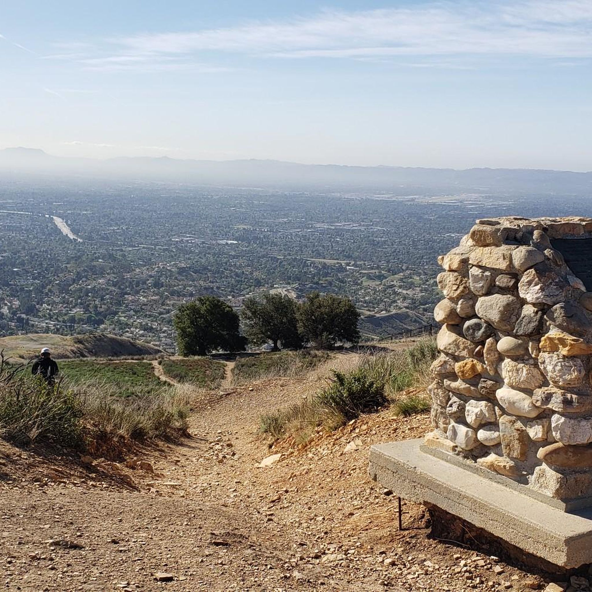
The preserve boasts numerous scenic viewpoints offering expansive vistas. While specific road cycling routes may vary, areas like Mission Point provide great, open views of both mountains and the city. The nearby Michael D. Antonovich Regional Park at Joughin Ranch also offers majestic views of the San Fernando Valley, Santa Monica, Totopa, and Santa Susana Mountains, and the Simi Hills.
What natural features will I encounter while road cycling in the area?
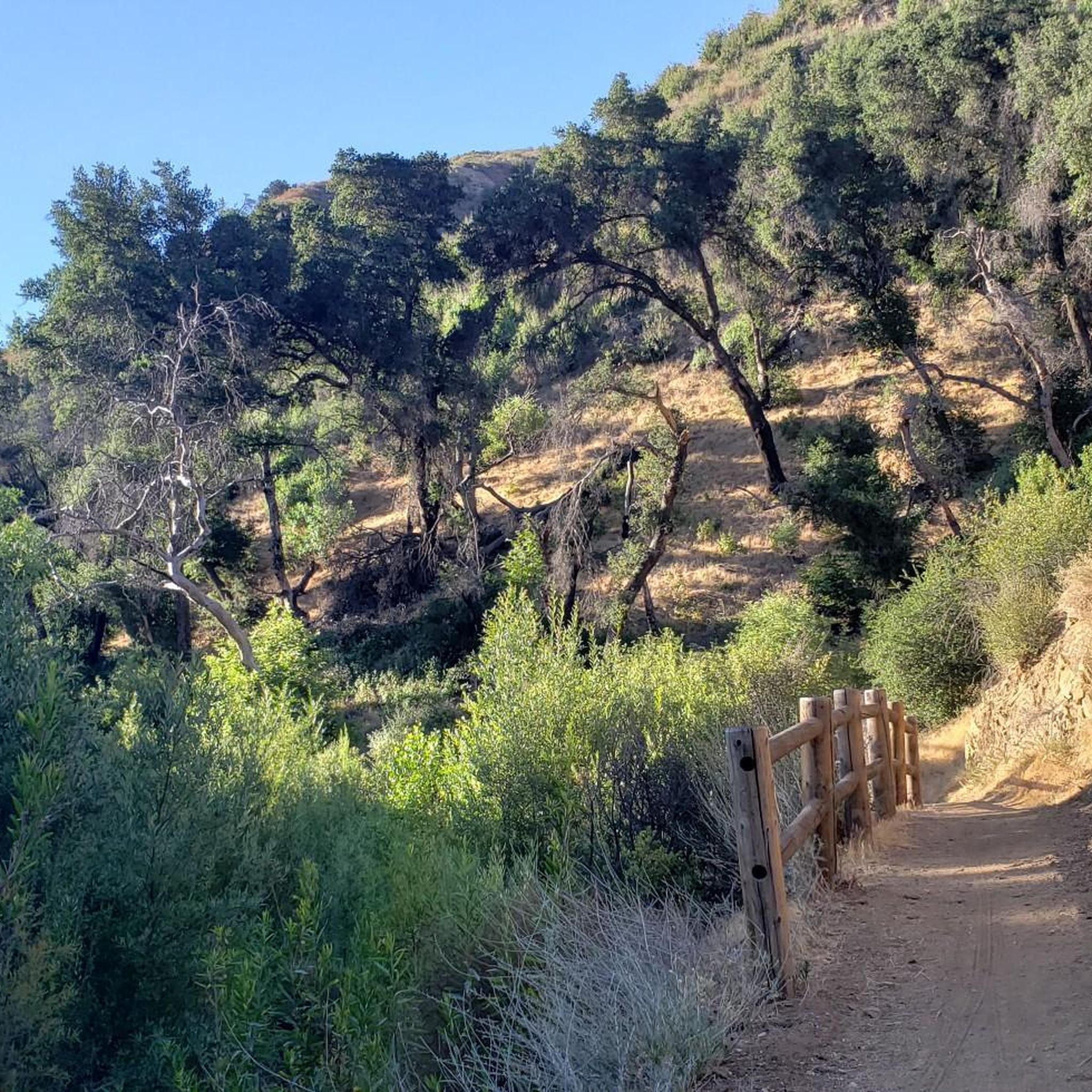
You'll encounter a rich natural environment, including areas of natural vegetation and mixed woodlands with species like bigcone Douglas-fir, bigleaf maple, and coast live oak. The preserve encompasses the headwaters of Devil, Ybarra, and Browns Canyons, which feature extensive oak and walnut woodlands and riparian corridors with year-round surface water. Keep an eye out for various raptors, including golden eagles and red-tailed hawks.
Are there any loop routes for road cycling in Antonovich Open Space Preserve?
Yes, many of the road cycling routes in the area are designed as loops, allowing you to start and finish at the same point. Examples include the Santa Clara River – Iron Horse Bridge loop from Newhall, a moderate 36.2-mile ride, and the more challenging Spunky Canyon – Spunky Canyon Road loop from Newhall, which spans over 51 miles.
What do other road cyclists enjoy most about road cycling in Antonovich Open Space Preserve?
The area is highly rated by the komoot community, with an average score of 5.0 stars from 2 reviews. Reviewers often praise the diverse landscape, the challenging climbs through canyon terrain, and the scenic views across hills and woodlands. The variety of routes, from moderate to difficult, is also frequently highlighted.
Is Antonovich Open Space Preserve suitable for purely paved road cycling?
While the region offers extensive cycling opportunities, it's important to note that dedicated paved road cycling routes *within* Antonovich Open Space Preserve itself are limited. Many trails are part of a broader network that includes mixed terrain or unpaved sections, particularly those popular for mountain biking. Road cyclists might find more suitable options on public roads surrounding the preserve or in adjacent areas specifically designed for paved road cycling.
Where can I find information about rules and regulations for cycling in the preserve?
For specific rules and regulations regarding cycling within Antonovich Open Space Preserve, it's best to consult official sources. You can find detailed information on the park's management websites, such as the Mountains Recreation & Conservation Authority (MRCA) or the Los Angeles County Trails website, which often provide guidelines on trail usage, permits, and allowed activities.
Are there any waterfalls in the Antonovich Open Space Preserve area?
Yes, the broader area encompassing Antonovich Open Space Preserve includes Whitney Canyon Park, which features oak woodlands, creeks, and small waterfalls. While not directly on every road cycling route, these natural features are part of the rich environment of the Santa Clarita Woodlands.
What is the best time of year for road cycling in Antonovich Open Space Preserve?
The region generally offers good cycling conditions for much of the year. Spring and fall typically provide pleasant temperatures, making them ideal for longer rides. Summers can be hot, especially in the canyons, so early morning rides are recommended. Winters are generally mild, but it's always wise to check the local weather forecast for any rain or cooler temperatures.
Most popular routes in Antonovich Open Space Preserve

Get inspired with the komoot mobile app


Explore more
Browse the best Road cycling routes in other regions.
