Michael D. Antonovich Regional Park At Joughin Ranch
Michael D. Antonovich Regional Park At Joughin Ranch
The best road cycling routes in Michael D. Antonovich Regional Park At Joughin Ranch
4.6
(28)
1,196
riders
40
rides
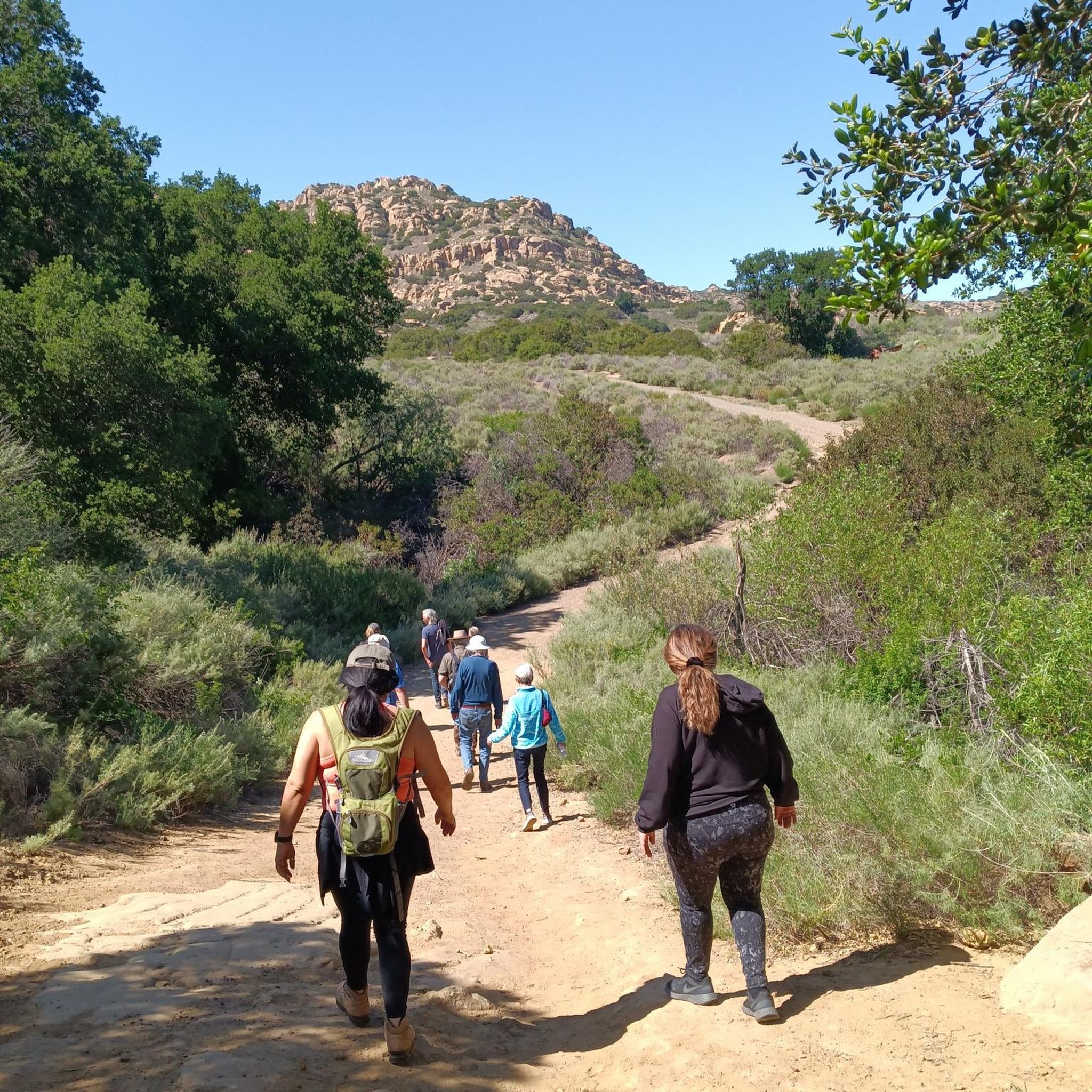
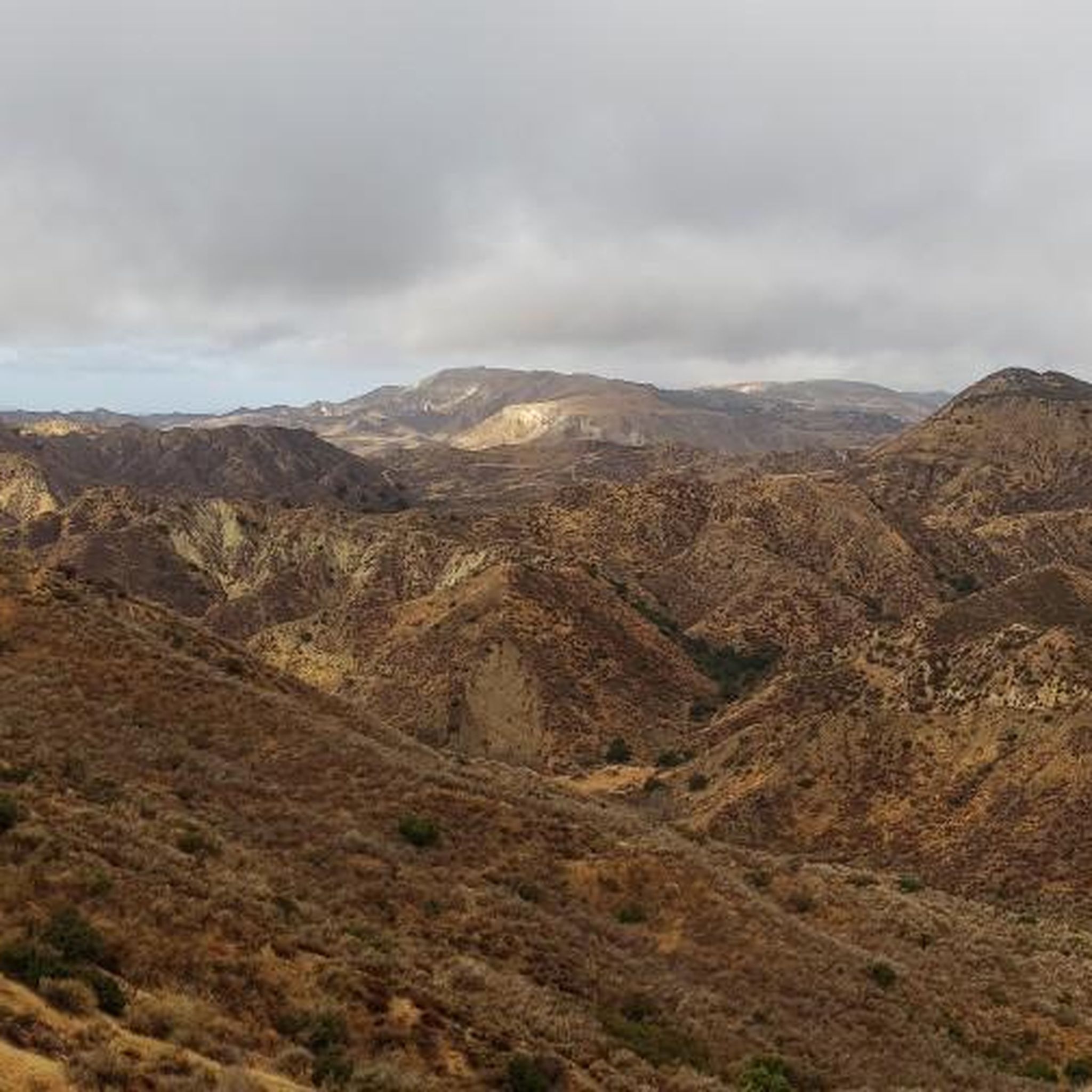
Road cycling in Michael D. Antonovich Regional Park At Joughin Ranch offers routes through diverse landscapes on the southern slopes of the Santa Susana Mountains. The park features rolling hills, grasslands, and chaparral, complemented by extensive oak and walnut woodlands. Road cyclists can navigate routes that weave through canyons and riparian corridors, providing varied terrain and elevation changes.
Best road cycling routes in Michael D. Antonovich Regional Park At Joughin Ranch
- The most popular road cycling route is Santa Susana…
Last updated: July 10, 2026
4
riders
38.2km
01:58
480m
480m
Moderate road ride. Good fitness required. Some segments of this route may be unpaved and difficult to ride.
233
riders
111km
05:39
1,680m
1,680m
Hard road ride. Very good fitness required. Mostly well-paved surfaces and easy to ride.

Sign up for free
5.0
(1)
118
riders
90.5km
04:05
870m
870m
Moderate road ride. Good fitness required. Some segments of this route may be unpaved and difficult to ride.
41
riders
Moderate road ride. Good fitness required. Some segments of this route may be unpaved and difficult to ride.
10
riders
115km
05:40
1,520m
1,520m
Hard road ride. Very good fitness required. Mostly well-paved surfaces and easy to ride.
Get access to more routes and recommendations from other explorers.
Sign up for free
Already have an account?
Our route recommendations are based on thousands of hikes, rides, and runs completed by other people on komoot.
Start today with a free account
Your next adventure awaits.
Login or Signup
Popular around Michael D. Antonovich Regional Park At Joughin Ranch
Tips from the Community

Malibu Road departs from the Pacific Coast Highway and travels down closer to the water. This is a great way for cyclists to avoid the busy highway while also being able to admire the view with less traffic to worry about.
0
0

While bike paths through Malibu are 'here now" and suddenly gone and you're in traffic, there are few places as pleasant to visit by bicycle as Malibu. Be sure to bike up Malibu Road, but if you're adventurous and in good shape, take the bottom of Mulholland rd (from far north of Malibu) up to the valley side of the canyon. You can then reward yourself with a long downhill ride on curvy Decker. (You'll be on your breaks for miles). This is a great town to lunch, coffee or just watch the waves.
0
0

Pedalers Fork is a unique combination of a restaurant, bar, coffee shop, and boutique bike shop in the heart of Calabasas. It offers delicious farm-to-table dining and artisan coffee with a casual vibe and a great patio, making it a fantastic place to relax after a ride.
0
0

Dan Blocker Beach, a 15.2-acre stretch of bluff and beach with over a mile of ocean frontage, attracts surfers and divers. Visitors also go swimming, fishing, and soak up the sun on this sandy, narrow beach. In 2014, the county added a public viewing area, parking, ADA-compliant restrooms, ocean-facing benches, and picnic tables.
1
0

This section of road on the popular Topanga Canyon Road is a nice warm up before the truly steep section of climbing begins. Like the whole road, it is relatively narrow, twisty, and there is no shoulder, so be cautious when riding this amazing mountain road.
0
0

Food, coffee and tools
1
0

The Metro G Line Bikeway is a well-maintained paved route stretching nearly 18 miles across the San Fernando Valley. This particular section offers picturesque views of the mountains, framed by beautiful trees along the way.
0
0

Escondido Beach in California entices cyclists with its secluded cove and pristine shoreline. Tucked away from the bustle, it offers a serene spot for riders to unwind, bask in the sun, and take a refreshing dip in the Pacific Ocean. The stunning coastal scenery provides a picturesque backdrop for a peaceful break.
0
0
Frequently Asked Questions
What kind of terrain can I expect on road cycling routes in Michael D. Antonovich Regional Park At Joughin Ranch?
The park offers a diverse landscape characterized by rolling hills, grasslands, chaparral, and extensive oak and walnut woodlands. Road cycling routes weave through these varied terrains, including canyons and riparian corridors, providing a mix of paved and unpaved sections. You'll encounter significant elevation changes, ranging from moderate to difficult, with some routes offering up to 500 feet of elevation gain over two hours.
Are there road cycling routes suitable for beginners or those seeking an easier ride?
Yes, Michael D. Antonovich Regional Park At Joughin Ranch features routes suitable for various skill levels. While some routes include challenging unpaved segments and significant elevation, there are also options that are mostly paved and offer more moderate elevation gains, making them accessible for beginners or those looking for a less strenuous ride. There are 8 easy routes available in the park.
What are some notable natural features or viewpoints along the road cycling routes?
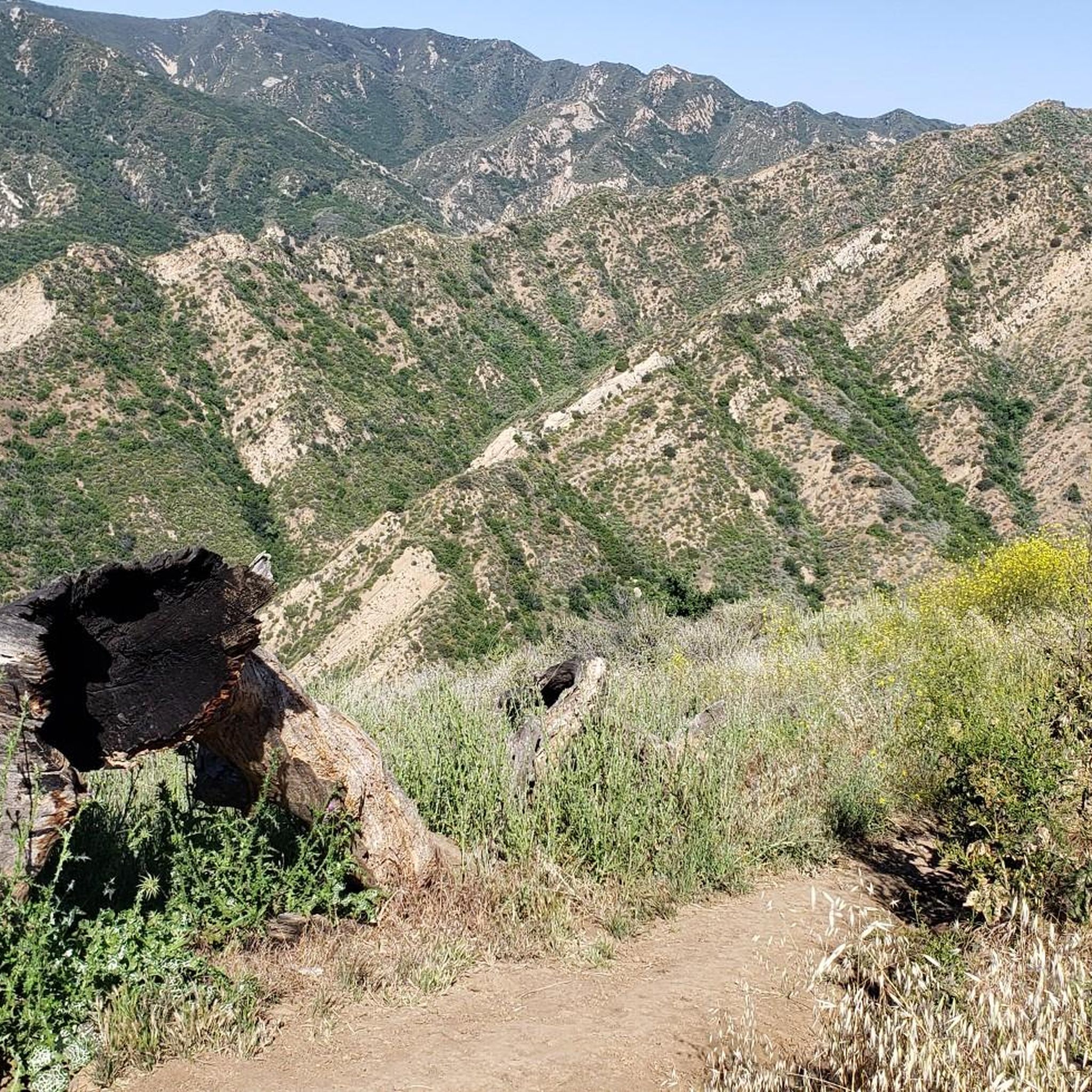
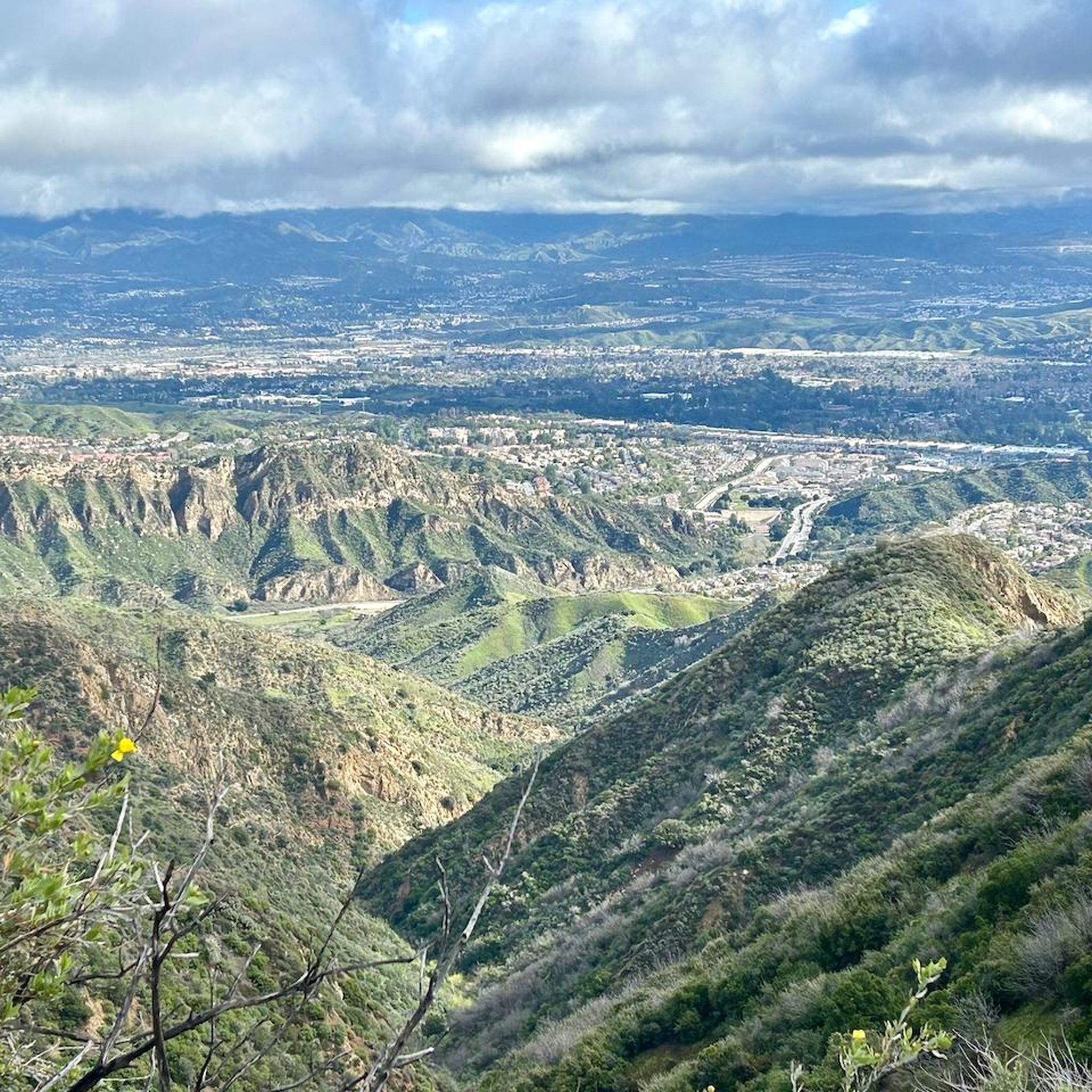
As you cycle through the park, you'll experience rugged terrain and stunning vistas. The routes offer panoramic views of the San Fernando Valley, the Santa Monica, Totopa, and Santa Susana Mountains, and the Simi Hills. The park also encompasses the headwaters of Devil, Ybarra, and Browns Canyons, featuring riparian corridors with year-round surface water and seasonal wildflowers, especially vibrant in spring.
How many road cycling routes are available in Michael D. Antonovich Regional Park At Joughin Ranch?
There are over 35 road cycling routes available in Michael D. Antonovich Regional Park At Joughin Ranch. These routes vary in difficulty, with options ranging from easy to difficult, catering to different preferences and fitness levels.
What do other road cyclists enjoy most about the routes in Michael D. Antonovich Regional Park At Joughin Ranch?
The road cycling routes in Michael D. Antonovich Regional Park At Joughin Ranch are highly rated by the komoot community, with an average score of 5.0 stars. Cyclists often praise the diverse landscapes, the peaceful and uncrowded environment, and the challenging yet rewarding elevation changes that offer stunning panoramic views.
Are there any long-distance road cycling routes that connect to other areas?
Yes, some routes extend beyond the immediate park boundaries. For example, the difficult route Topanga Beach – Dan Blocker Beach loop from Chatsworth is a 69.2-mile trail that leads through coastal areas and inland hills, connecting to other bike paths for extensive rides.
Is Michael D. Antonovich Regional Park At Joughin Ranch suitable for advanced road cyclists looking for a challenge?
Absolutely. The park offers numerous challenging routes with significant elevation changes and varied terrain, including some unpaved sections. For instance, the difficult route Dan Blocker Beach – Escondido Beach loop from Chatsworth covers 114.7 miles with over 1500 meters of elevation gain, requiring good to very good fitness.
What is the best time of year to go road cycling in the park?
The park can be enjoyed year-round, but spring is particularly beautiful due to seasonal wildflowers. Given the Southern California climate, most seasons offer pleasant cycling conditions. However, it's always advisable to check local weather forecasts, especially during summer months when temperatures can be high, or during rainy periods which might affect unpaved sections.
Are there any loop trails for road cycling in Michael D. Antonovich Regional Park At Joughin Ranch?
Yes, many of the road cycling routes in the park are designed as loops, allowing you to start and end at the same point. An example is the moderate route Santa Susana Pass (Simi Pass) – Santa Susana Pass Road loop from Porter Ranch Neighborhood Council District, which is 32.7 miles long and takes approximately 2 hours 43 minutes to complete.
Where can I find information about park access, rules, or permits for cycling?
For detailed information regarding park access, specific rules, or any required permits for cycling within Michael D. Antonovich Regional Park At Joughin Ranch, it is best to consult the official park authority. You can find more information on the Mountains Recreation & Conservation Authority website.
Are there any amenities like cafes or shops available directly within the park?
Michael D. Antonovich Regional Park At Joughin Ranch is known for its peaceful and secluded nature. While it offers picnic areas, amenities like cafes or shops are generally not available directly within the park. It's advisable to bring your own water and snacks.
Can I find routes that offer views of the Santa Susana Mountains?
Many routes in the park provide excellent views of the surrounding mountain ranges. For instance, the moderate route Santa Susana Pass (Simi Pass) – SMMC Open Space loop from Porter Ranch Neighborhood Council District specifically offers views of the Santa Susana Mountains and other natural features.
Most popular routes in Michael D. Antonovich Regional Park At Joughin Ranch

Get inspired with the komoot mobile app


Explore more
Browse the best Road cycling routes in other regions.
