The best walks and hikes in Garrapata State Park
4.7
(226)
2,913
hikers
77
hikes
Hikes in Garrapata State Park explore a section of the Big Sur coastline characterized by steep coastal mountains and deep canyons. The park features 2 miles of beachfront with trails running along rocky bluffs and headlands. Inland, routes ascend through redwood groves in areas like Soberanes Canyon, offering a contrast to the open ocean views.
Best hiking trails in Garrapata State Park
- The most popular hiking route is Soberanes Canyon & Rocky Ridge Trail loop — Garrapata State Park,…
Last updated: October 11, 2026
4
hikers
1.05km
00:17
10m
10m
Easy hike. Great for any fitness level. Easily-accessible paths. Suitable for all skill levels.
4.87km
01:54
550m
0m
Moderate hike. Good fitness required. Easily-accessible paths. Suitable for all skill levels.

700m
00:11
0m
10m
Easy hike. Great for any fitness level. Easily-accessible paths. Suitable for all skill levels.
4.6
(10)
133
hikers
7.35km
02:47
510m
520m
Moderate hike. Good fitness required. Easily-accessible paths. Suitable for all skill levels.
5.0
(3)
63
hikers
2.94km
00:49
60m
60m
Easy hike. Great for any fitness level. Easily-accessible paths. Suitable for all skill levels.
Get access to more routes and recommendations from other explorers.
Already have an account?
Our route recommendations are based on thousands of hikes, rides, and runs completed by other people on komoot.
Start today with a free account
Your next adventure awaits.
Popular around Garrapata State Park
Tips from the Community

The Soberanes Canyon Trail is an almost 3-mile long trail near Carmel-by-the-Sea. The trail is considered fairly challenging, but you are rewarded with great views.
1
0

The scenery is absolutely stunning. Unfortunately, it's not really suitable for swimming.
1
0
Super beautiful section of Route 1 between Monterey and Los Angeles
0
0

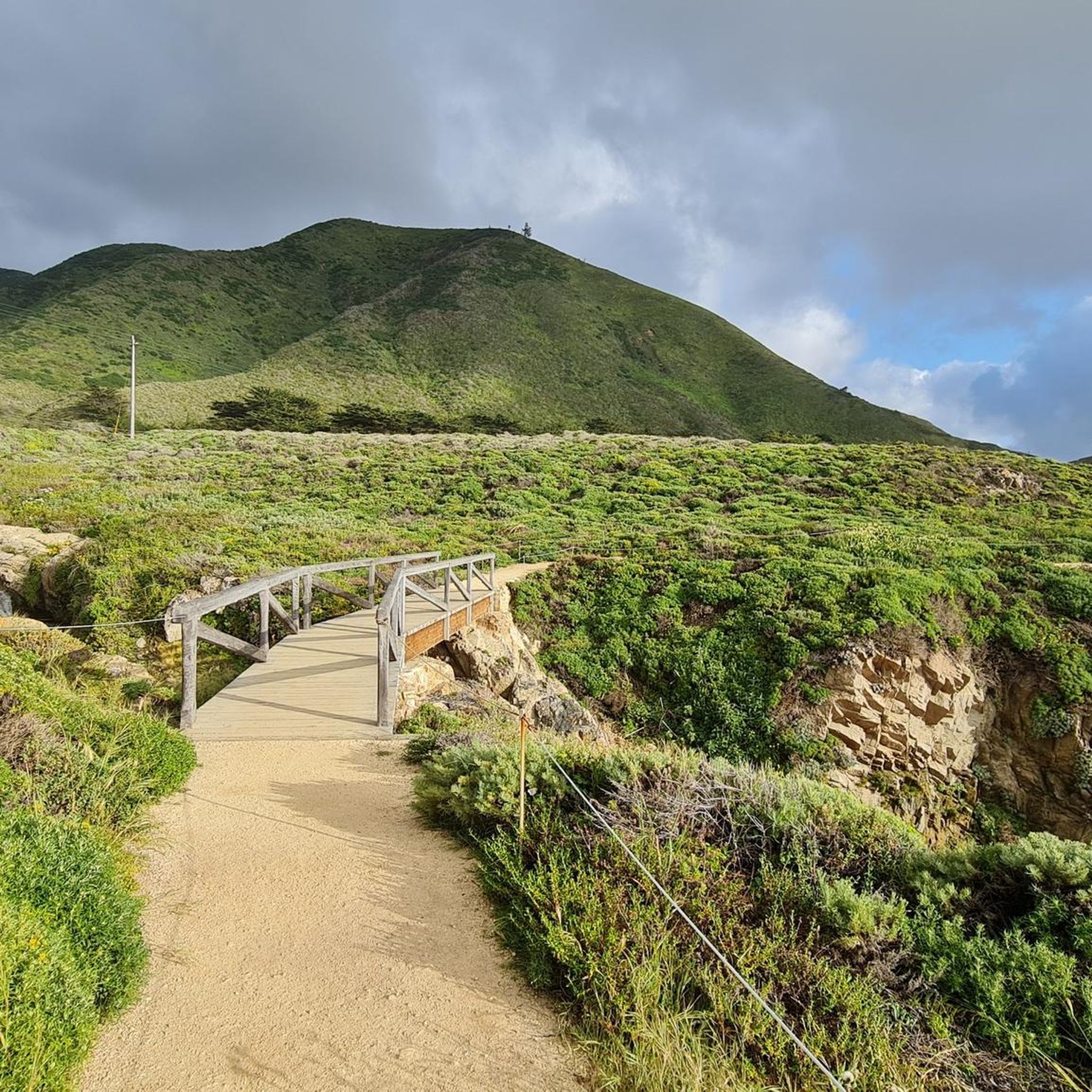
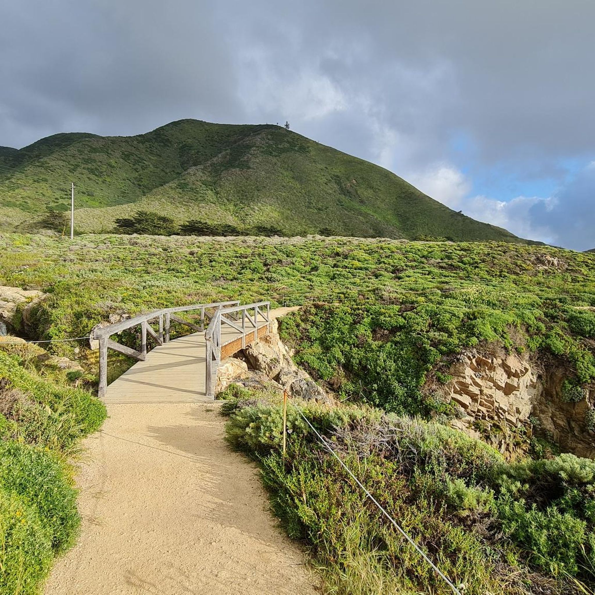
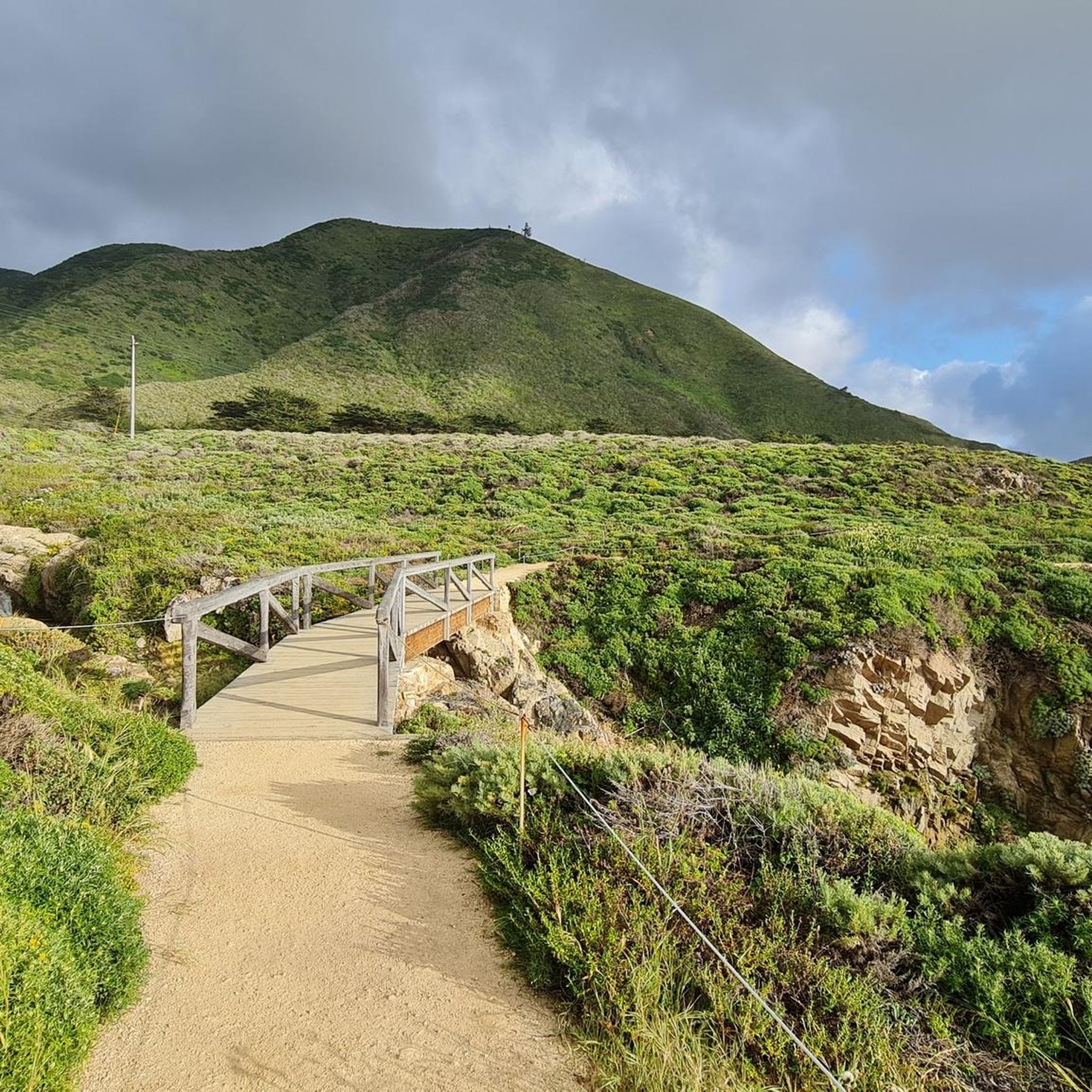
A small network of scenic sandy trails lead along the top of the coastal cliffs between Painters Point and Soberanes Point. You might see some sea life among the waves, and the rolling morning fog clouds that creep up the base of Garrapata State Park make for a special sunrise view. Parking can be hard to come by in the summer.
0
0

While just at 81 meters high, Whale Peak offers stunning views of the Pacific Ocean, Pacific Coast, and Big Sur. During springtime, you'll find a blooming collection of lovely wildflowers blanketing the area.
0
0

Unexpected flora with a massive cactus growing on the hills around the trail.
0
0

Very nice views, both on the ocean and on the mountain.
0
0

A short trail leads up to 250 ft Whale Peak, though similar impressive views are all along the trail that meets up with the coastal trail
0
0
Frequently Asked Questions
Are dogs allowed on the trails in Garrapata State Park?
No, dogs are not permitted on any of the trails within Garrapata State Park. They are only allowed on-leash at Garrapata Beach, which is located west of Highway 1.
What are the best options for easy, family-friendly hikes?
For an easy and scenic walk, the Rocky Ridge Trail & Whale Peak Trail loop is a great choice. It's a short 1.8-mile (2.9 km) coastal path with minimal elevation gain, offering beautiful ocean views without a strenuous climb.
Where can I find redwood trees in the park?
The best place to see redwoods is along the Soberanes Canyon Trail. This path follows a creek through a lush canyon shaded by redwood groves, offering a different experience from the open coastal trails.
Are there any circular walks or loop trails available?
Yes, there are several loop trails. For a short coastal loop, consider the Whale Peak loop, which is about 1.3 miles (2.0 km). For a more challenging loop that combines ocean vistas and canyon scenery, the Soberanes Canyon & Rocky Ridge Trail loop is a popular option.
What is the best time of year to hike in Garrapata State Park?
Hiking is possible year-round, but spring (February to April) is particularly spectacular due to the vibrant wildflower displays along the coastal bluffs and hillsides. Winter is the prime season for whale watching from coastal viewpoints like Soberanes Point.
Where can I find the latest trail status and closures?
Some trails, like the full Rocky Ridge Trail loop, may be closed due to hazardous conditions. For the most current information on trail status, closures, and safety alerts, it is essential to check the official California Department of Parks and Recreation website for Garrapata State Park before you go.
What are the parking options for the trailheads?
Parking is available in informal pullouts along Highway 1 near the various trailheads. There are about 19 numbered turnouts for accessing different parts of the park. These spots can fill up quickly, especially on weekends, so arriving early is recommended.
Are there any waterfalls in Garrapata State Park?
The park is not known for significant waterfalls. While the creeks in the canyons, such as Soberanes Creek, may have small cascades, especially after rain, there are no major, named waterfalls that are primary hiking destinations.
What kind of wildlife might I see while hiking?
Along the coast, you can often spot sea otters, harbor seals, and sea lions. During the winter migration season, California gray whales are a common sight. The inland canyons and ridges are home to a variety of bird species. Always remember to observe wildlife from a safe and respectful distance.
How many hiking trails are there in Garrapata State Park?
There are over 50 different hiking routes to explore in Garrapata State Park, ranging from 48 easy coastal walks to more strenuous moderate and difficult climbs into the canyons and ridges.
What do other hikers think of the trails in Garrapata State Park?
The area is highly rated by the komoot community, with an average score of 4.7 stars. Hikers frequently praise the stunning contrast between the rugged Big Sur coastline and the serene, redwood-filled canyons.
Can I get to Garrapata State Park using public transport?
There is no direct public transportation service to Garrapata State Park. Accessing the trailheads requires a private vehicle, as they are located in pullouts along Highway 1, south of Carmel.
Most popular routes in Garrapata State Park
Most popular attractions in Garrapata State Park

Get inspired with the komoot mobile app


Explore more
Browse the best Hikes in other regions.
