El Corte De Madera Creek Open Space Preserve (Closed Area)
El Corte De Madera Creek Open Space Preserve (Closed Area)
The best running trails in El Corte De Madera Creek Open Space Preserve (Closed Area)
5.0
(1)
500
runners
25
runs
Jogging in El Corte De Madera Creek Open Space Preserve (Closed Area) offers a diverse landscape for runners. The region is characterized by varied terrain, including forested areas, creek valleys, and rolling hills. These natural features provide a range of running experiences, from shaded paths to more challenging ascents. The preserve's environment supports a variety of jogging routes suitable for different fitness levels.
Best jogging routes in El Corte De Madera Creek Open Space Preserve (Closed Area)
- The most popular…
Last updated: October 12, 2026
6
runners
7.75km
00:55
220m
220m
Moderate run. Good fitness required. Mostly paved surfaces. Suitable for all skill levels.
8
runners
4.98km
00:38
90m
90m
Easy run. Great for any fitness level. Mostly paved surfaces. Suitable for all skill levels.

80
runners
Hard run. Very good fitness required. Mostly paved surfaces. Suitable for all skill levels.
5.0
(1)
40
runners
8.21km
01:03
200m
200m
Moderate run. Good fitness required. Mostly paved surfaces. Suitable for all skill levels.
26
runners
16.3km
01:54
180m
180m
Hard run. Very good fitness required. Mostly paved surfaces. Suitable for all skill levels.
Get access to more routes and recommendations from other explorers.
Already have an account?
Our route recommendations are based on thousands of hikes, rides, and runs completed by other people on komoot.
Start today with a free account
Your next adventure awaits.
Popular around El Corte De Madera Creek Open Space Preserve (Closed Area)
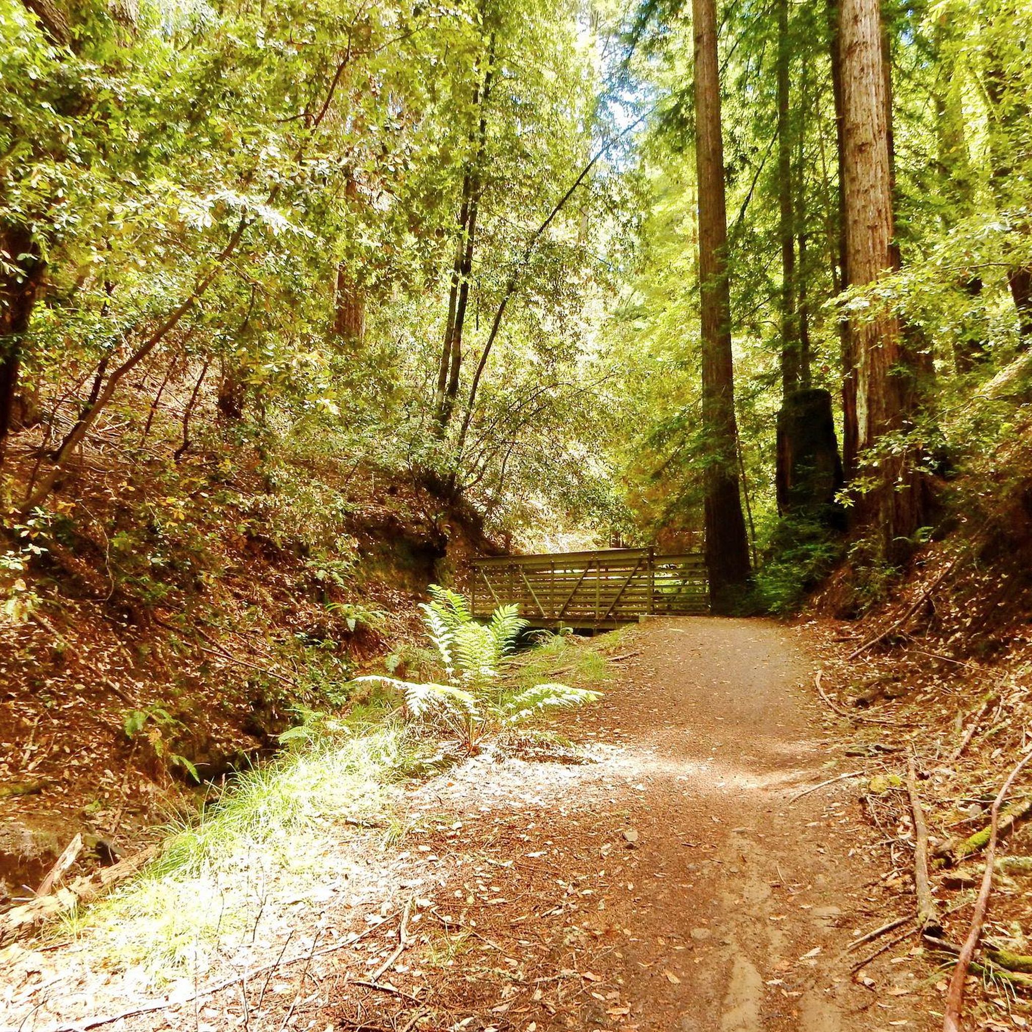
Hiking in El Corte De Madera Creek Open Space Preserve (Closed Area)
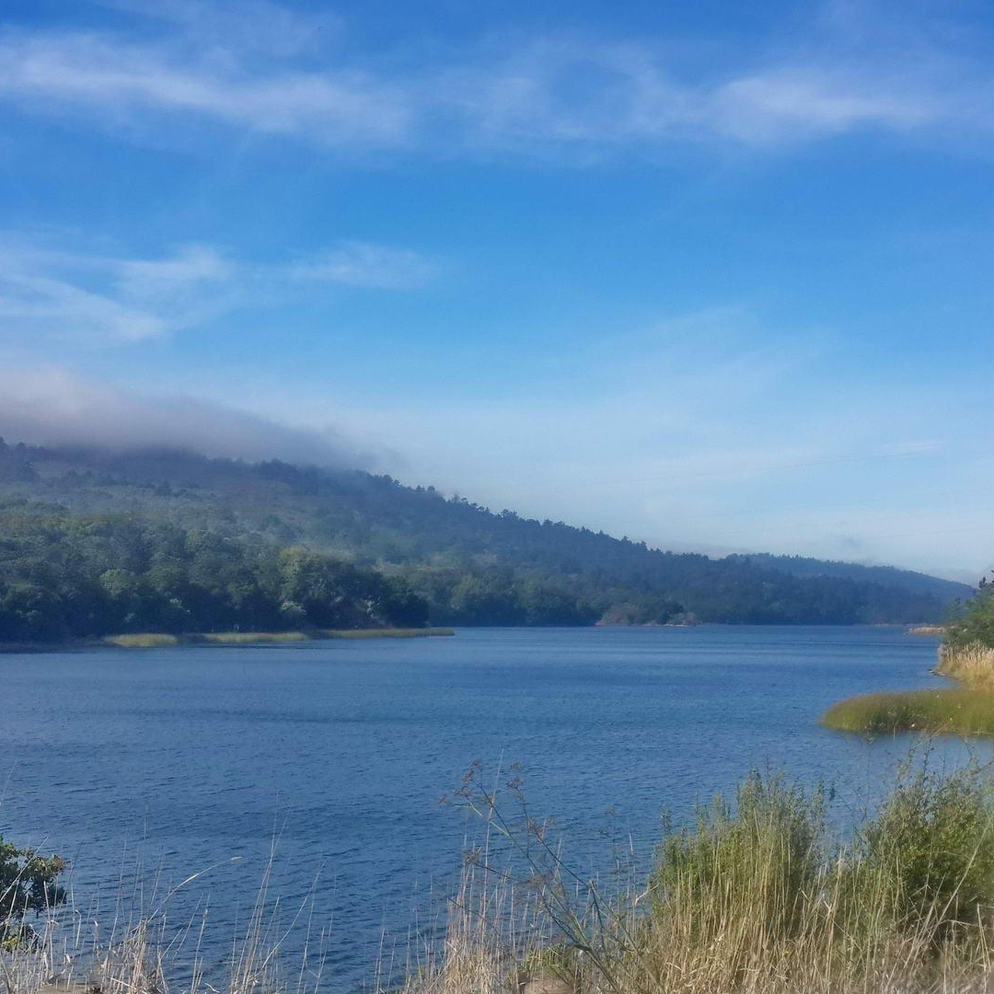
MTB Trails in El Corte De Madera Creek Open Space Preserve (Closed Area)
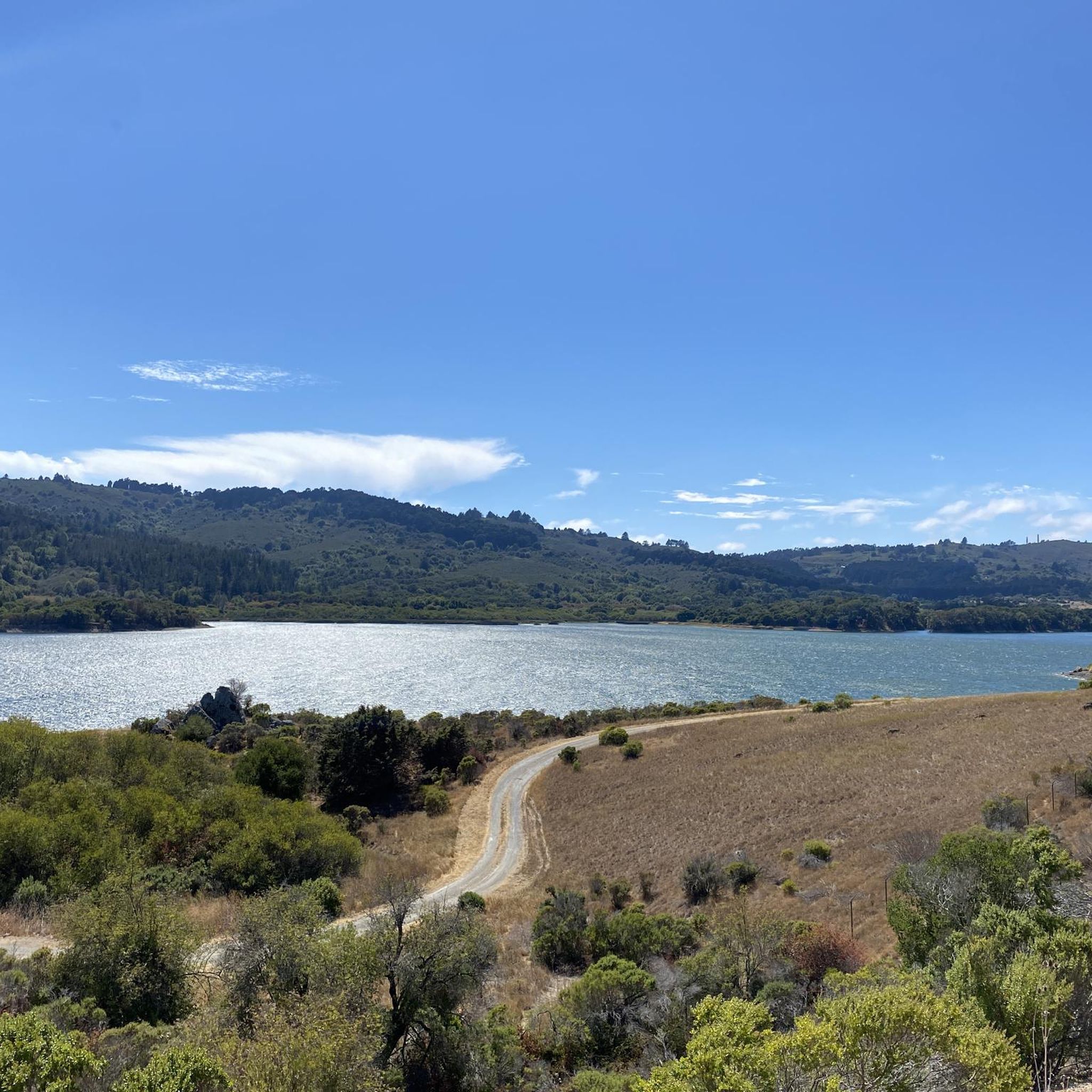
Road Cycling Routes in El Corte De Madera Creek Open Space Preserve (Closed Area)
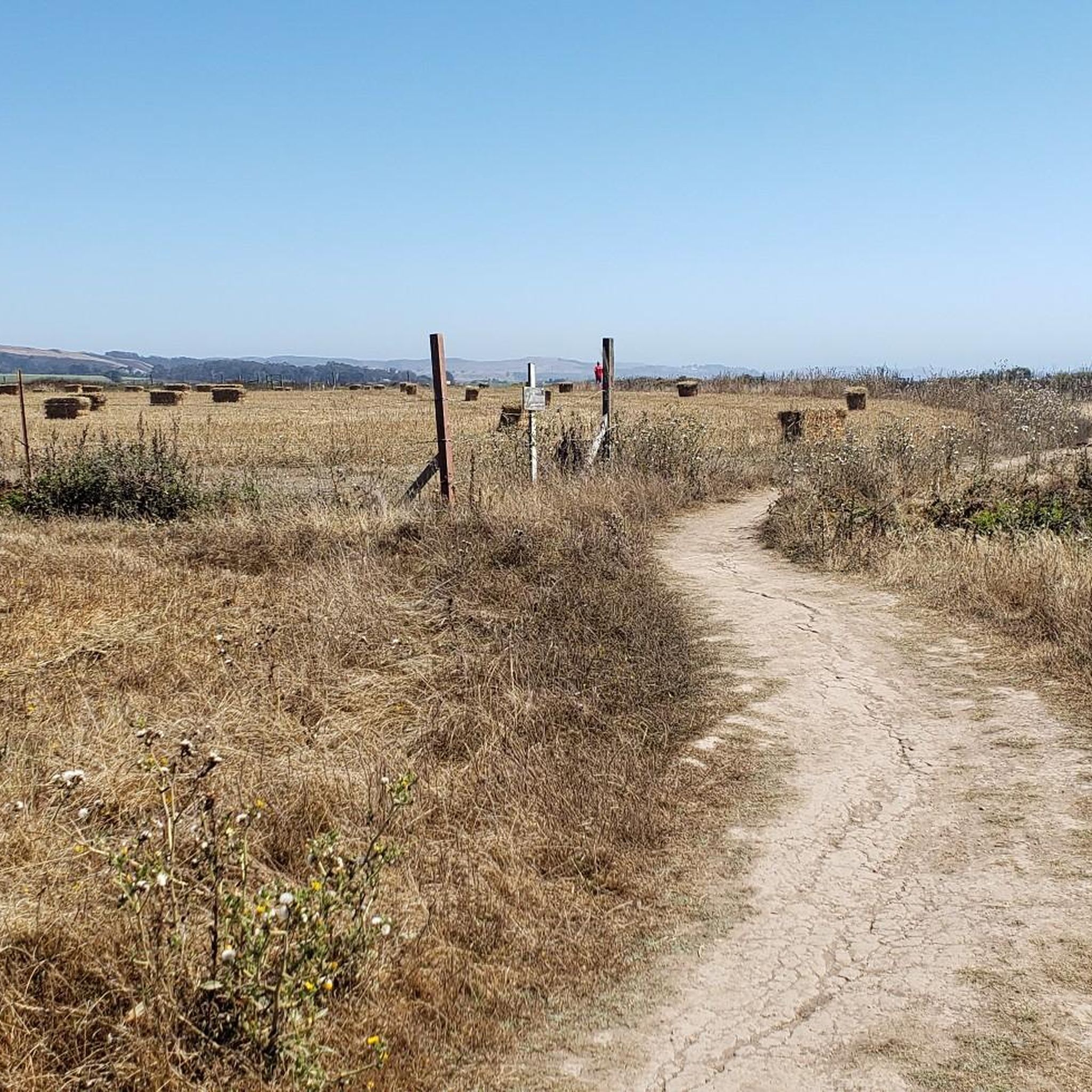
Cycling in El Corte De Madera Creek Open Space Preserve (Closed Area)

Gravel biking in El Corte De Madera Creek Open Space Preserve (Closed Area)
Tips from the Community

A fun, pretty place to stop while riding Cañada road. I has water and an air pump and bathrooms. Take a photo with friends.
0
0

You're not hallucinating: This monument was deliberately built in the style of ancient Greek and Roman architecture, to commemorate the Great Depression-era Hetchy Hetchy Project that brought water down from the mountains to the Bay Area. The frieze says, “I give waters in the wilderness and rivers in the desert, to give drink to my people.”
1
0

There are a handful of trails here which treat you to views of the foothills across the reservoir. Upper Crystal Springs Reservoir provides water to the San Francisco Peninsula, and you can bike along its entire eastern shoreline.
0
0

The Edgewood Trail runs east to west along the northern edge of the park and is easlity accessible from the main parking lot or the Edgewood Trailhead at Edgewood and Cañada Road. Beginning from the main parking lot, expect a challenging half-mile ascent with an average grade of 9.5% as the route winds through a beautiful oak woodland, providing a shady canopy before opening up to fantastic views of the rolling hiilsides, perfect for a wonderful hike, especially on a warm day.
0
0
Edgewood Park and Nature Preserve spans 467 acres of serpentine grasslands and is renowned for its stunning wildflowers each spring, with lovely trails throughout the grounds to explore. The park's location is just off I-280 and Edgewood Road, making it easily accessible for an opportunity to immerse yourself in the picturesque scenery not far from the San Francisco Peninsula.
0
0
This mile-long trail is the perfect mix of serene woodlands and panoramic Bay views as it weaves through coast live oak and beautiful flowers, especially during spring. Keep an eye out for a charming trailside waterfall about halfway through the trail, as it may be visible when water levels are higher. Dogs are not allowed on this trail, so you'll need to leave your pup at home.
0
0

Crystal Springs Reservoir, nestled in the northern Santa Cruz Mountains, consists of two artificial lakes formed along the San Andreas Fault and is ideal for hiking and wildlife viewing. Originally named Laguna Grande, the southern lake was submerged to create Upper Crystal Springs Reservoir in 1877, while Lower Crystal Springs Reservoir was formed by the construction of Crystal Springs Dam in 1888. Although no water activities are allowed, visitors can enjoy the reservoir’s natural setting and spot local wildlife, including bald eagles.
0
0
Purisima Creek Trailhead features a fence separating the trail from the road and a small pit toilet at the base. Parking is available just 250 feet southeast along Skyline Boulevard. This trail offers everything, from stunning views to towering redwoods, fern-filled canyons, and creeks. Riding through the redwoods is a unique experience.
0
0
Frequently Asked Questions
How many running routes are available in El Corte De Madera Creek Open Space Preserve?
The preserve offers a diverse network of over 20 running routes. These trails vary in length and difficulty, providing options for different fitness levels.
Are there any running routes suitable for beginners in El Corte De Madera Creek Open Space Preserve?
While there are no routes specifically classified as 'easy', the preserve features 10 moderate running trails. These can be a good starting point for runners with some experience, offering a less strenuous option compared to the more difficult paths.
What is the typical length and duration of running trails in the preserve?
Running routes in El Corte De Madera Creek Open Space Preserve typically range from 6 to 9.5 miles (9.7 to 15.3 km) in length. Depending on the route and your pace, these can take anywhere from 1 hour 15 minutes to over 2 hours to complete. For example, the Running loop from Purisima Creek Trailhead is about 6 miles and takes around 1 hour 14 minutes.
Is parking available for runners at El Corte De Madera Creek Open Space Preserve?
Yes, parking is generally available at designated trailheads and access points around the preserve. It's always a good idea to arrive early, especially on weekends, as spots can fill up quickly. Check specific trailhead information for details on parking facilities.
Can I bring my dog on the running trails in El Corte De Madera Creek Open Space Preserve?
Many open space preserves in the region allow dogs on leash. However, specific rules can vary, so it's best to check the official El Corte De Madera Creek Open Space Preserve website or signage at the trailhead for the most current regulations regarding dogs on trails.
What is the best time of year for running in El Corte De Madera Creek Open Space Preserve?
The preserve is enjoyable year-round, but spring and fall often offer the most pleasant running conditions with mild temperatures and lush scenery. Summer can be warm, especially in exposed areas, while winter brings cooler, potentially wet weather, making some trails muddy. Always check local weather forecasts before heading out.
Are there any loop running routes in El Corte De Madera Creek Open Space Preserve?
Yes, many of the running routes in the preserve are designed as loops, offering varied scenery without retracing your steps. A popular option is the Kings Mountain loop from Phleger Estate (GGNRA), which provides significant elevation changes and scenic views.
What kind of terrain can I expect on the running trails?
The terrain in El Corte De Madera Creek Open Space Preserve is quite varied, featuring forested areas, creek valleys, and rolling hills. You'll encounter a mix of shaded paths, some with significant elevation changes, and potentially muddy sections after rain, especially in creek areas. Trails are generally unpaved, natural surfaces.
What do other runners enjoy most about jogging in El Corte De Madera Creek Open Space Preserve?
The area is highly rated by the komoot community, with an average score of 5.0 stars. Runners often praise the diverse landscape, the challenge of the varied terrain, and the opportunity to experience nature. The peaceful atmosphere and well-maintained trails are frequently highlighted.
Are there any specific viewpoints or scenic spots along the running routes?
While there are no specific 'highlights' listed, many routes offer scenic views, particularly from higher elevations like Kings Mountain. The preserve's creek valleys and forested areas also provide beautiful natural scenery throughout your run. The Upper Purisima Creek Trail 🌲 – Borden Hatch Mill 🚵 Trail loop from Kings Mountain, for instance, leads through picturesque creek valleys.
What are the most challenging running routes in the preserve?
The preserve features 12 difficult running routes, characterized by significant elevation gains and rugged terrain. Routes like the Purisima Creek Trailhead – Huddart County Park loop from Huddart County Park are known for their demanding climbs and descents, offering a rigorous workout for experienced runners.
Are there any running routes that follow a creek or river?
Yes, several routes in the preserve incorporate creek valleys into their paths. The Upper Purisima Creek Trail 🌲 – Borden Hatch Mill 🚵 Trail loop from Kings Mountain is a prime example, leading you through beautiful forested areas alongside creek beds, offering a refreshing experience.
Most popular routes in El Corte De Madera Creek Open Space Preserve (Closed Area)

Get inspired with the komoot mobile app


Explore more
Browse the best Running Trails & Routes in other regions.
