Felton Station Open Space Preserve (Closed)
Felton Station Open Space Preserve (Closed)
The best running trails in Felton Station Open Space Preserve (Closed)
5.0
(2)
739
runners
43
runs
Jogging in Felton Station Open Space Preserve (Closed) refers to routes exploring the surrounding Santa Cruz Mountains and adjacent parks. This region features shaded redwood and mixed evergreen forests, alongside chaparral-covered ridges and oak woodlands. Many running routes follow creek-side paths, offering varied terrain and natural beauty. The area's diverse trail network provides options for different ability levels.
Best jogging routes in Felton Station Open Space Preserve (Closed)
- The most popular jogging route is John Nicholas Trail, a 9.4…
Last updated: July 9, 2026
22
runners
15.2km
01:54
420m
420m
Hard run. Very good fitness required. Mostly paved surfaces. Suitable for all skill levels.
11.4km
01:34
400m
400m
Hard run. Very good fitness required. Mostly paved surfaces. Suitable for all skill levels.

Sign up for free
14
runners
8.55km
01:11
310m
310m
Hard run. Very good fitness required. Mostly paved surfaces. Suitable for all skill levels.
10
runners
5.16km
00:39
180m
180m
Moderate run. Good fitness required. Mostly paved surfaces. Suitable for all skill levels.
7
runners
12.3km
01:51
600m
600m
Hard run. Very good fitness required. Mostly paved surfaces. Suitable for all skill levels.
Get access to more routes and recommendations from other explorers.
Sign up for free
Already have an account?
Our route recommendations are based on thousands of hikes, rides, and runs completed by other people on komoot.
Start today with a free account
Your next adventure awaits.
Login or Signup
Popular around Felton Station Open Space Preserve (Closed)
Tips from the Community

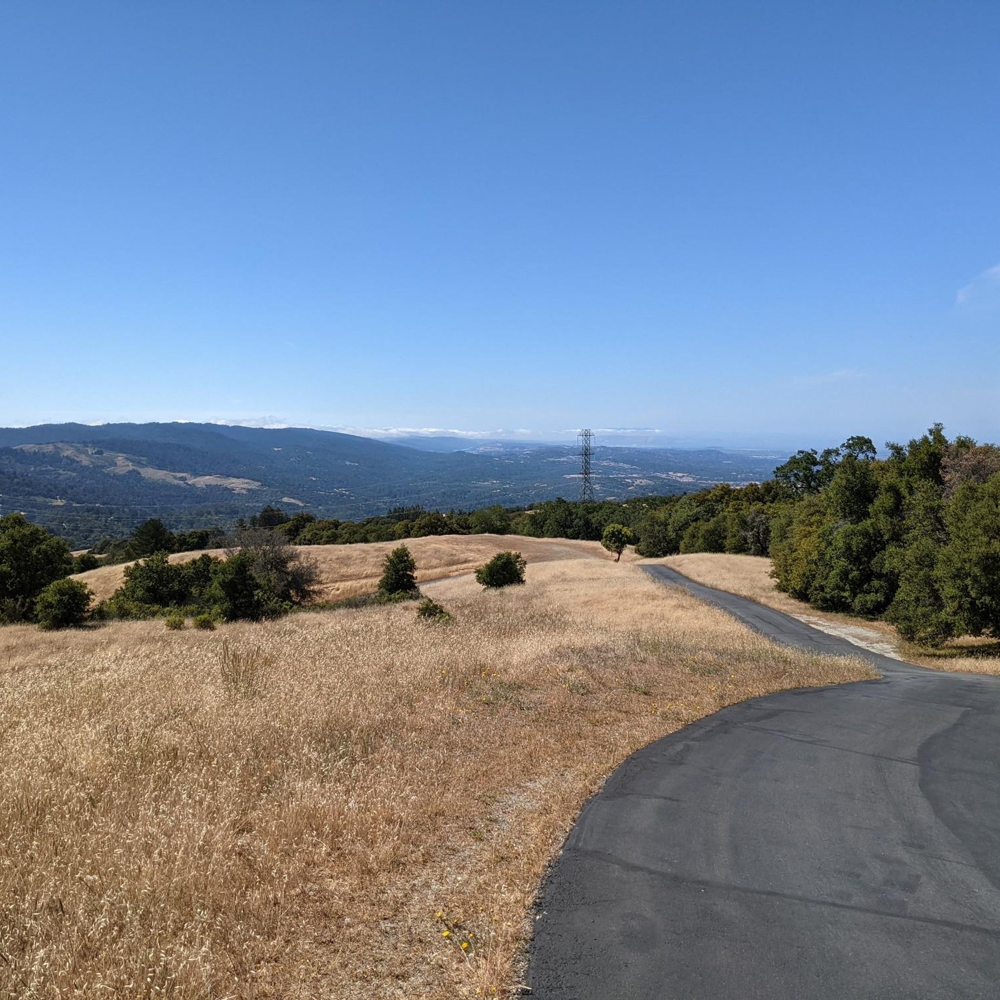
The Priest Rock Trail in Los Gatos offers runners a tough but rewarding challenge with steep climbs and stunning views of the Santa Clara Valley. Its mix of shaded sections and open ridges provides variety, making it ideal for hill training. Start early to beat the heat and enjoy quieter trails.
0
0

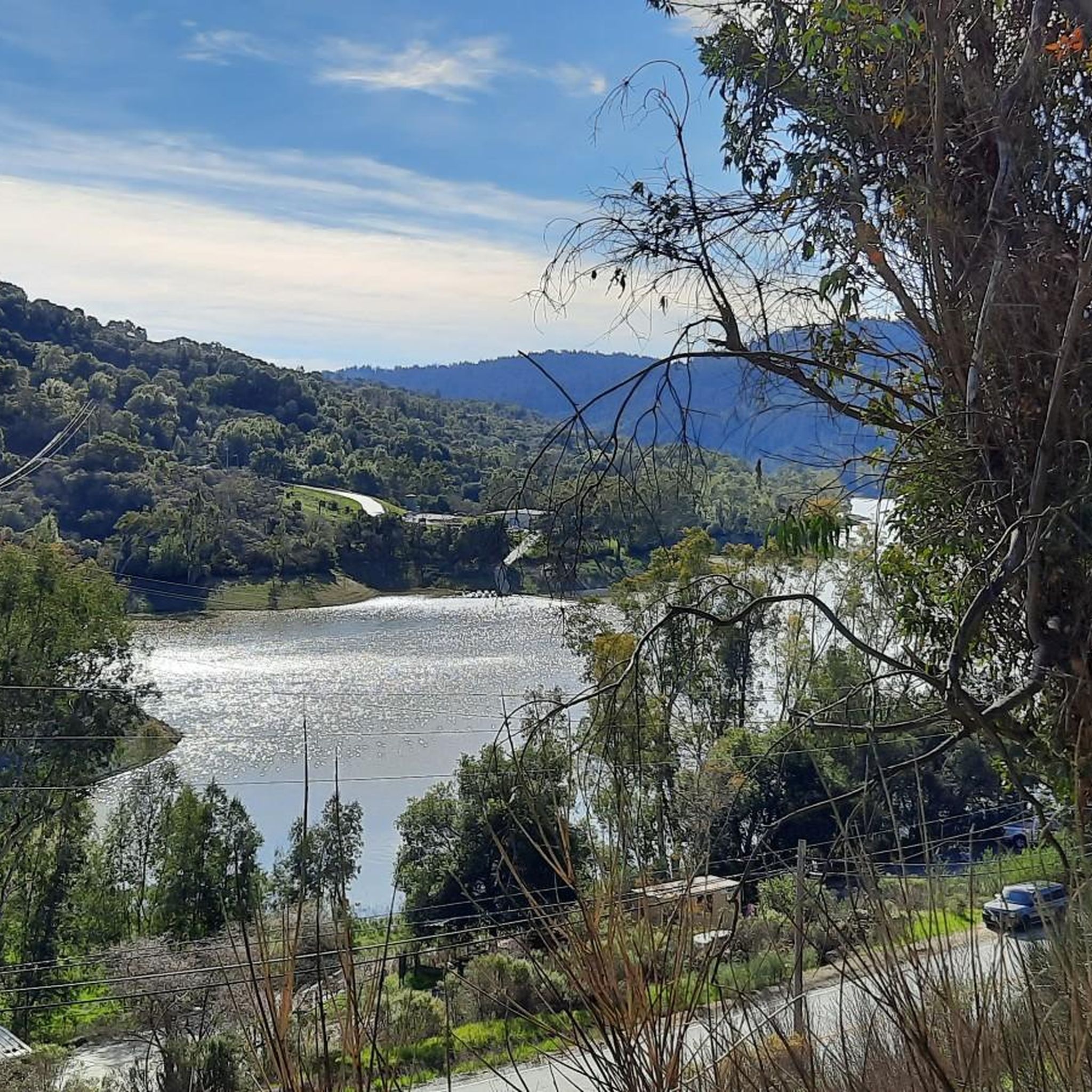
Ascending just a few hundred feet along Priestrock Trail toward Sierra Azul Open Space reveals expansive vistas overlooking the tranquil, turquoise-blue waters of Lexington Reservoir.
0
0

There is a nice overlook and picnic spot here with plenty of shade. The trail up to this point is gradual in nature, and depending on fitness level, never really gets challenging. Great for an uphill run where you want to keep a steady pace.
0
0

El Sereno Preserve is named after the Mount El Sereno sitting at an elevation of 2,500 feet. This area gives rewarding views of the cities of Saratoga and the western area of Los Gatos. Spanning 1,614 acres, the preserve features seven miles of wide, gradual trails open for various activities such as hiking, biking, dog walking, and designated horseback riding.
0
0
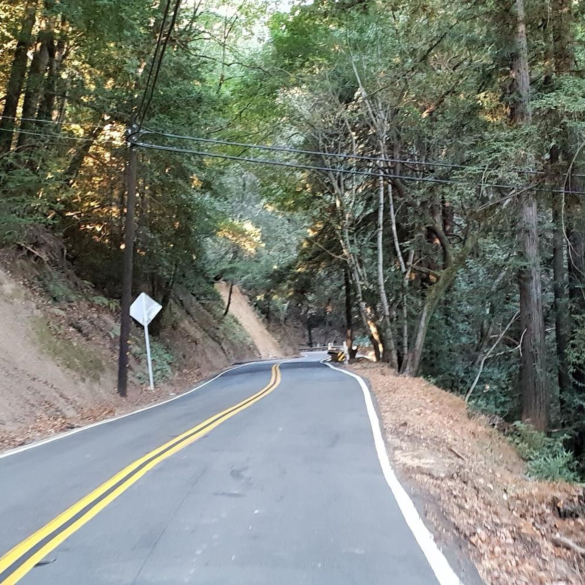
An old growth grove of Redwood Trees, famous to Norther California. This old growth forest has a rich ecosystem and thick canopy, keeping the trails nice and shaded.
0
0

The summit of Saint Josephs Hill offers views of Los Gatos Creek valley into Silicon Valley and of the Lexington Reservoir. A couple benches and a fence mark the summit of the hill and serve as a good spot for a break while you take in the view.
0
0

Even just climbing a few hundred feet up on Priestrock Trail toward Sierra Azul Open Space opens generous views over turquoise-blue Lexington reservoir
0
0
Frequently Asked Questions
Is Felton Station Open Space Preserve accessible for jogging?
No, Felton Station Open Space Preserve itself is currently closed to public access and is an undeveloped parcel managed for ecosystem rehabilitation. However, the jogging routes listed here explore the beautiful surrounding Santa Cruz Mountains and adjacent parks, offering similar natural features and excellent running opportunities.
How many jogging routes are available in the Felton Station area?
There are over 40 running routes available in the areas surrounding Felton Station Open Space Preserve. These routes vary in difficulty and length, providing a wide range of options for different preferences and fitness levels.
What kind of terrain can I expect on running trails near Felton Station?
You can expect a diverse range of terrain. Many trails wind through shaded redwood and mixed evergreen forests, while others traverse chaparral-covered ridges and oak woodlands. Several routes also feature refreshing creek-side paths, providing varied and scenic environments for your run.
Are there any family-friendly jogging trails in the Santa Cruz Mountains near Felton Station?
Yes, while many routes offer a challenge, there are also options suitable for families. For example, the area features 2 easy routes and 22 moderate routes that are generally shorter and have less elevation gain, making them more accessible for a family outing. Always check the route details for specific suitability.
Are there any loop jogging routes available in this area?
Yes, many of the running routes in the Santa Cruz Mountains near Felton Station are designed as loops. For instance, the Bay Area Ridge Trail: El Sereno Loop and the Alma and Redwood Springs Loop are popular choices that bring you back to your starting point.
What do other runners enjoy most about jogging in the Felton Station area?
The running routes in the Felton Station area are highly rated by the komoot community, with an average score of 4.0 stars from 6 reviews. Runners often praise the beautiful redwood forests, varied terrain, and the peaceful, natural environment that makes for an enjoyable outdoor experience.
Are there any scenic viewpoints or landmarks along the running routes?
While there are no specific highlights listed directly within the routes data, the surrounding Santa Cruz Mountains offer many scenic spots. You can expect views across the landscape, especially from higher elevations. Nearby attractions like Henry Cowell Redwoods State Park and the Felton Covered Bridge also enhance the region's appeal.
Can I find dog-friendly running routes in the Santa Cruz Mountains near Felton Station?
Many parks and open spaces in the Santa Cruz Mountains allow dogs, often on leash. However, specific regulations can vary by park or preserve. It's always best to check the rules for the particular trail you plan to run to ensure it's dog-friendly before you go.
What is the best time of year to jog in the Santa Cruz Mountains area?
The Santa Cruz Mountains offer pleasant running conditions for much of the year. The shaded redwood forests provide cool environments, which can be particularly appealing during warmer months. Spring and fall often bring mild temperatures and beautiful scenery, while winter runs can be refreshing, though some trails might be muddy after rain.
Are there options for public transport to access running trails near Felton Station?
While specific public transport options directly to trailheads can be limited in some more remote areas of the Santa Cruz Mountains, local bus services may provide access to towns like Felton. From there, you might need to walk or arrange alternative transport to reach specific trail starting points. Planning ahead is recommended.
Where can I find parking for running trails near the Felton Station area?
Parking availability varies by trailhead. Many popular trailheads in the Santa Cruz Mountains and adjacent parks have designated parking lots. It's advisable to check specific route descriptions or park websites for detailed information on parking facilities and any potential fees before heading out.
Are there any challenging running routes for experienced runners?
Absolutely. The area offers 18 difficult routes for those seeking a challenge. For example, the John Nicholas Trail is a 9.4-mile route with significant elevation gain through varied forest terrain, and the Bay Area Ridge Trail: Priest Rock to Kennedy Knob is another demanding option with substantial climbs.
Can I see wildlife while running on these trails?
Yes, the diverse ecosystems of the Santa Cruz Mountains provide habitat for various wildlife. You might spot nesting birds, small mammals, and white-tailed deer, especially in quieter woodland areas. Birds of prey like owls and hawks are also present. Maintaining a respectful distance and observing quietly will enhance your chances of a sighting.
Most popular routes in Felton Station Open Space Preserve (Closed)

Get inspired with the komoot mobile app


Explore more
Browse the best Running Trails & Routes in other regions.
