The best MTB trails in St. Joseph'S Hill Open Space Preserve
4.5
(115)
662
riders
41
rides
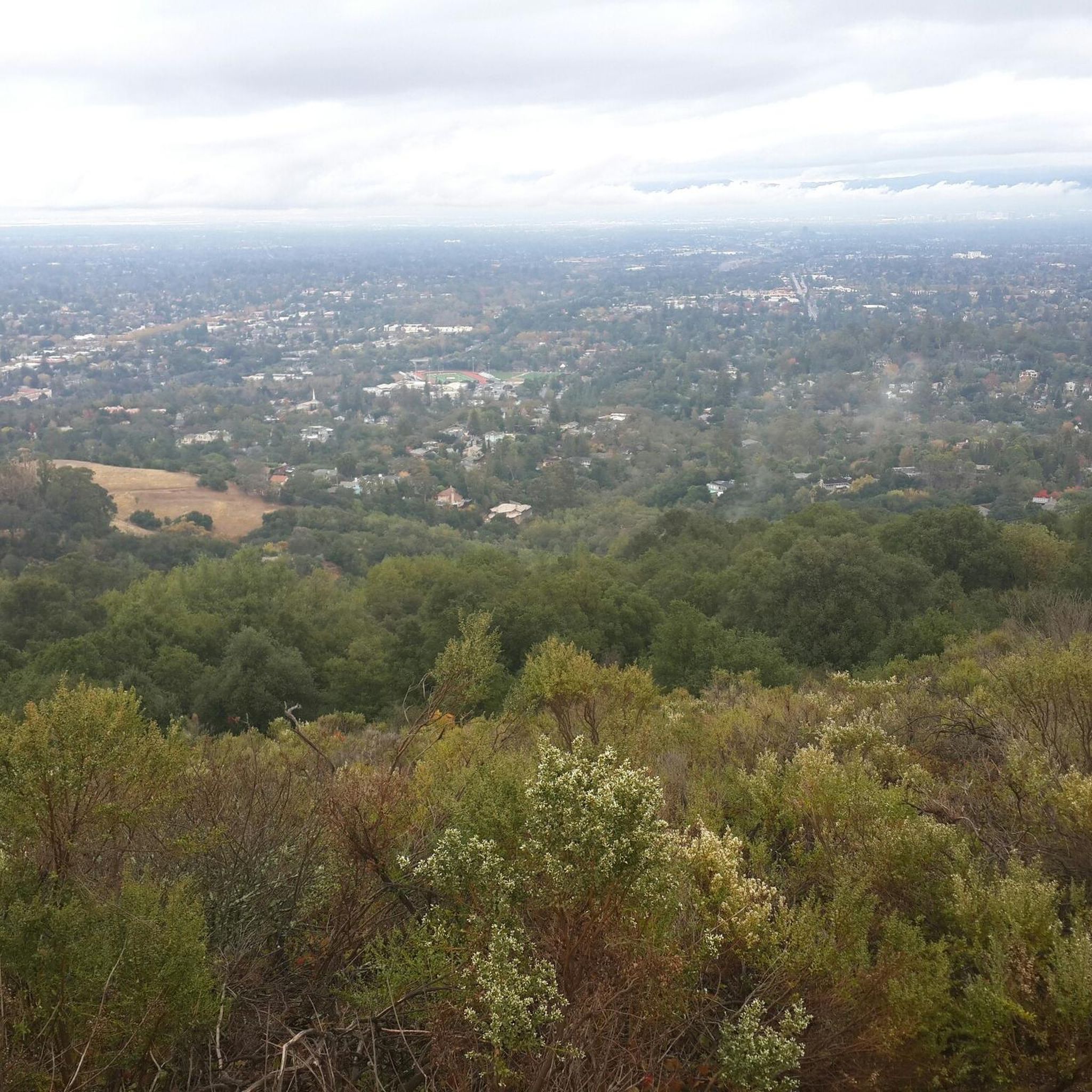
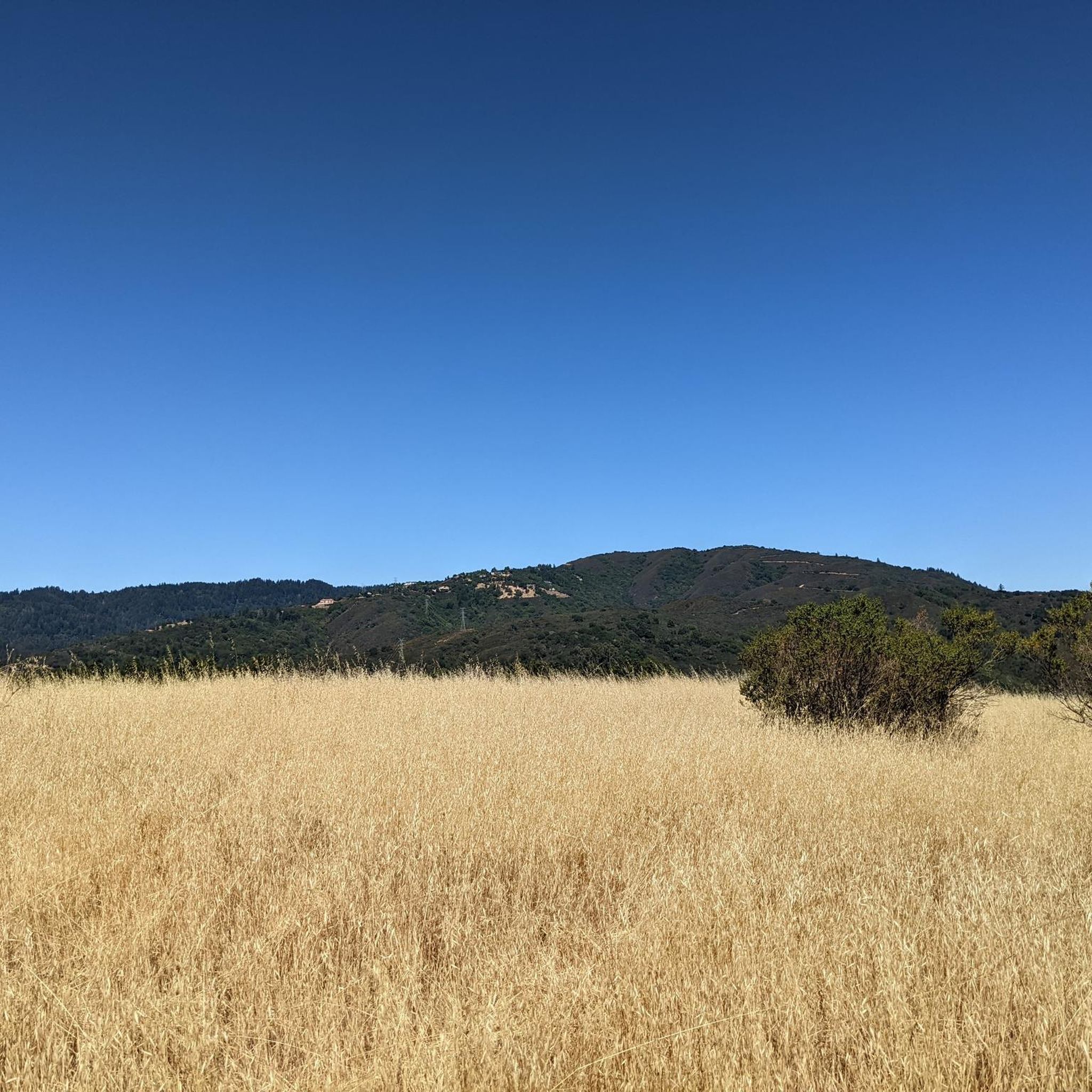
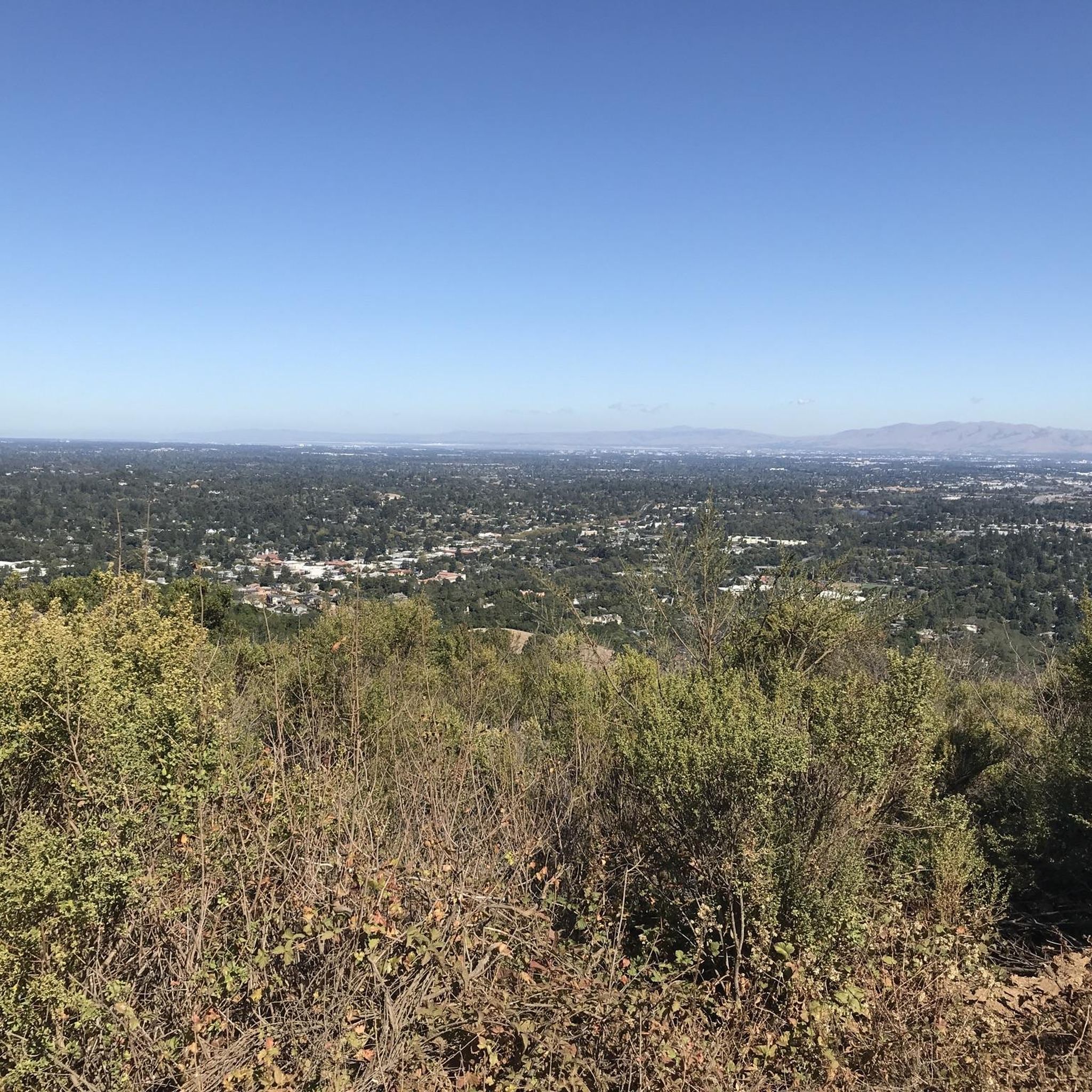
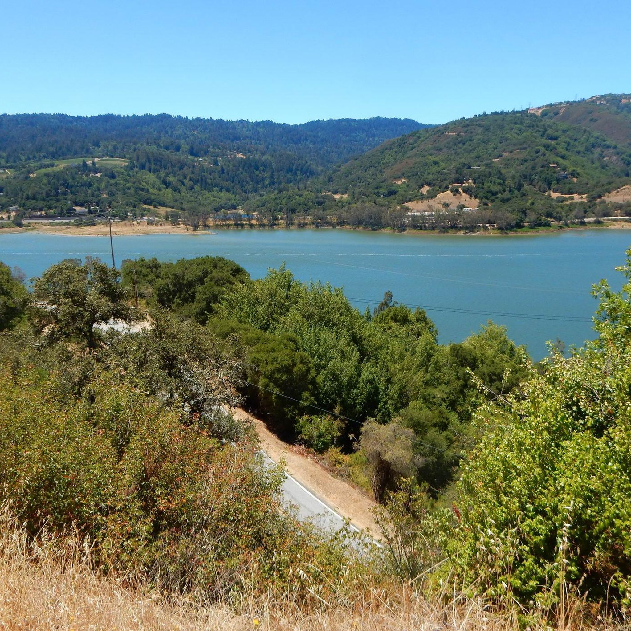
Mountain biking in St. Joseph'S Hill Open Space Preserve offers diverse terrain with sun-exposed grasslands, chaparral, and oak woodlands. The preserve features trails that wind through these varied habitats, including areas with historic vineyard remnants and distinctive serpentine rock outcroppings. From the 1,250-foot summit of St. Joseph's Hill, riders can experience panoramic views of the Santa Clara Valley and Lexington Reservoir. The area is known for its steep climbs, providing a challenging workout for mountain bikers.
Best mountain bike trails in St. Joseph'S Hill Open Space Preserve
- The most popular mountain bike trail is James J. Lenihan Dam – Los Gatos Creek Trail loop from Lexington Reservoir County Park, a 14.7 miles (23.7 km) trail that takes 2 hours 25 minutes to complete. This moderate route connects to the scenic Lexington Reservoir.
- Another top favourite among local mountain bikers is Los Gatos Creek Trail – Camden Ponds loop from Lexington Reservoir County Park, a moderate 23.8 miles (38.3 km) path. This longer loop offers varied scenery along the Los Gatos Creek.
- Local mountain bikers also love the Collords Peak – Kennedy Trail loop from Oak Meadow, a 15.0 miles (24.1 km) trail leading through varied terrain with significant elevation gain, often completed in about 2 hours 22 minutes.
- Mountain biking in St. Joseph'S Hill Open Space Preserve is defined by sun-exposed grasslands, oak woodlands, and challenging climbs to panoramic viewpoints. The network offers options for different ability levels, from moderate loops to more difficult ascents.
- The routes in St. Joseph'S Hill Open Space Preserve are highly rated by the komoot community with an average score of 4.4 stars from over 80 reviews. More than 400 mountain bikers have used komoot to explore St. Joseph'S Hill Open Space Preserve's varied terrain.
Last updated: July 2, 2026
5.0
(1)
33
riders
Moderate mountain bike ride. Good fitness required. Suitable for all skill levels.
28
riders
24.3km
02:23
720m
720m
The Kennedy Trail – Kennedy Road loop from Oak Meadow offers a classic South Bay mountain biking challenge, known for its relentless climbs and rewarding vistas. You'll navigate wide fire roads that transition from packed dirt to rocky, rutted sections, with some pitches exceeding 25% grade. As you gain elevation, the scenery unfolds to reveal panoramic views of San Jose and the East Bay Hills, with the Santa Cruz Mountains framing the horizon, making the sustained effort truly worthwhile.
Accessed from Oak Meadow Park, this 15.1-mile (24.3 km) route involves a significant 2368 feet (722 metres) of elevation gain, typically taking around 2 hours and 22 minutes for a fit rider. Parking is available at Oak Meadow Park, but it's wise to arrive early, especially on weekends, as this moderate-to-hard trail is a local favorite. Remember to bring ample water, as much of the route is exposed, offering continuous views rather than dense tree cover.
This loop is a notorious climb among local mountain bikers and is even the route for the annual Kennedy Turkey Day Ride, a traditional Thanksgiving Day event. It's an excellent choice for experienced riders looking to push their limits on a demanding ascent, offering a true test of fitness and bike handling. The trail's popularity and challenging nature make it a standout option for those seeking a significant workout with big views in the Sierra Azul Open Space Preserve.

Sign up for free
5.0
(1)
22
riders
28.3km
02:44
860m
860m
Moderate mountain bike ride. Good fitness required. Suitable for all skill levels.
5.0
(2)
16
riders
43.4km
03:50
1,020m
1,020m
The Los Gatos Creek Trail – Summit of Sanborn County Park loop from Oak Meadow offers a challenging mountain biking experience, taking you from creek-side paths to the forested heights of Sanborn County Park. You'll climb through towering redwoods and tanbark oaks on the John Nicholas Trail, eventually reaching a viewpoint at 2,800 feet with expansive South Bay views. This difficult 27.0-mile (43.4 km) route with 3359 feet (1024 metres) of elevation gain is a rewarding journey for fit riders, typically taking around 3 hours and 50 minutes.
To tackle this extensive loop, start from Oak Meadow Park, where you'll find parking. Given the duration and elevation, make sure to bring ample water and nutrition. The deep shade provided by the redwoods in Sanborn County Park makes this an excellent option for mountain biking even on warmer days, but always check current trail conditions before you go.
This route is a fantastic way to explore the diverse ecosystems of the Santa Cruz Mountains, transitioning from urban-adjacent trails to wild, forested singletrack. The John Nicholas Trail, specifically designed for mountain bikers, is a highlight, offering a less technical but consistently engaging climb and a fun, flowy descent. It's a comprehensive tour of the region's natural beauty and a true test of endurance.
5.0
(10)
16
riders
54.4km
04:23
1,370m
1,360m
The Mount Umunhum – Mount Umunhum loop from Oak Meadow offers a challenging mountain biking experience, taking you through diverse terrain to one of the South Bay's most iconic summits. You'll navigate a mix of paved roads, singletrack, and fire roads, with the dedicated Mount Umunhum Trail providing playful twists and rollers. The journey culminates at the summit, where you're treated to incredible 360-degree panoramic views, including the distinctive "Cube" radar tower.
This is a difficult 33.8-mile (54.4 km) route with a substantial 4480 feet (1366 metres) of elevation gain, typically requiring around 4 hours and 23 minutes to complete. Plan to start early to tackle the significant climbs, especially on Mount Umunhum Road and Barlow Road, which feature steep grades. While specific parking for Oak Meadow isn't detailed, routes often begin from nearby access points like Hicks Road, so check local guidance for the best starting location.
Mount Umunhum holds deep historical and cultural significance, being sacred to local Native American people, with its name meaning "resting place of the hummingbird." The summit also features the prominent eight-story "Cube," a relic from a former US Air Force radar station, adding a unique historical layer to the natural beauty. The trail system passes through varied ecosystems, from chaparral to oak woodlands, offering a rich natural environment to explore.
Get access to more routes and recommendations from other explorers.
Sign up for free
Already have an account?
Our route recommendations are based on thousands of hikes, rides, and runs completed by other people on komoot.
Start today with a free account
Your next adventure awaits.
Login or Signup
Popular around St. Joseph'S Hill Open Space Preserve
Tips from the Community

This is not a very exciting trail to hike. It’s pretty much a trail surrounded by thick walls of vegetation, with almost no opportunity to view your surroundings. The trail is 70% rocks/gravel, and 30% hard packed clay, so avoid wearing snickers
0
0

If you make the summit a fantastic view awaits. Be aware the road goes down then up to the road about then up again to the summit!…
0
0

This non-profit organization was founded in 1968 in an effort to preserve the history of the steam locomotive and commemorate the life of Billy Jones.
0
0

Still one of the highest points in the Santa Cruz Mountains, even though the military graded and flattened the actual summit to create an Air Force base. The summit was cleaned of hazardous material in 2009, then carefully restored after a lot of community input. It's a lovely place to visit now!
0
0

From here, you get a great view of the forest and valley, with the Santa Clara Mountains in the background. It’s a nice spot to stop for a picnic and take in the scenery. The trail continues upward, but this spot is perfect if you’re just looking for a good viewpoint.
0
0

The Mount Umunhum Trailhead offers some amenities, including bathrooms at both the start and summit. With parking available for about 20 cars, this trail provides great views and is a great spot for sunsets. Aim to hike early in the morning or in the evening as it can get very hot in the summer.
0
0
Forbes Mill Museum, housed in a two-story building of the original 1854 flour mill, offers a glimpse into Los Gatos' history. Built by James Alexander Forbes as California's first commercial flour mill, over the years, it served various roles, including a power plant and a PG&E substation. Saved from demolition in 1982, the building now features historical exhibits as part of New Museum Los Gatos.
0
0
If you like hairpin switchbacks, this is the grueling climb (or adrenaline-pumping downhill) for you! You can bike almost all the way to the peak. The very last .2-mile of the trail is closed to bikes, but at that point you can switch to the road, instead, and use that to read the summit.
0
0
Frequently Asked Questions
What kind of terrain can I expect when mountain biking in St. Joseph's Hill Open Space Preserve?
The preserve offers a diverse landscape, including sun-exposed grasslands, chaparral, and oak woodlands. You'll find trails winding through these varied habitats, with some sections featuring historic vineyard remnants and distinctive serpentine rock outcroppings. Be prepared for challenging steep climbs, which are a hallmark of the area, alongside more moderate grades.
Are there mountain bike trails suitable for beginners or families in St. Joseph's Hill Open Space Preserve?
Yes, there are options for various skill levels. While many trails feature challenging climbs, the preserve also offers easier routes. For example, the Camden Ponds – Vasona Reservoir loop from Los Gatos is rated as easy and covers 7.8 miles (12.5 km) with minimal elevation gain, making it a good choice for those looking for a less strenuous ride.
What are the best viewpoints or natural features to look out for on the trails?
St. Joseph's Hill is renowned for its panoramic views. From the 1,250-foot Saint Josephs Hill summit, you can enjoy expansive vistas of the Santa Clara Valley, Lexington Reservoir, and the Sierra Azul Preserve. Along trails like the Jones Trail, you'll also find picturesque views of Lexington Reservoir and the forested slopes of the Santa Cruz Mountains. Don't miss the distinctive greenish hue of the serpentine rock outcroppings on parts of the Manzanita Trail.
How many mountain bike trails are available in St. Joseph's Hill Open Space Preserve?
There are over 40 mountain bike trails available in St. Joseph's Hill Open Space Preserve. These include 7 easy, 20 moderate, and 17 difficult routes, offering a wide range of options for different skill levels and preferences.
What do other mountain bikers enjoy most about the trails here?
The trails in St. Joseph's Hill Open Space Preserve are highly rated by the komoot community, with an average score of 4.4 stars from over 80 reviews. Riders often praise the challenging climbs, the diverse terrain, and the stunning panoramic views from the summit and along various trails. The ability to connect to other nearby trails like the Los Gatos Creek Trail for longer loops is also a popular feature.
Are there any long-distance or challenging mountain bike loops in the preserve?
Yes, for those seeking a longer and more challenging ride, the Los Gatos Creek Trail – Summit of Sanborn County Park loop from Oak Meadow is a difficult 27.1 miles (43.7 km) route with over 1000 meters of elevation gain. Another popular moderate option is the Los Gatos Creek Trail – Camden Ponds loop from Lexington Reservoir County Park, which covers 23.8 miles (38.3 km) with varied scenery.
What are the typical trail conditions, especially during wet seasons?
The preserve features a mix of sun-exposed grasslands, chaparral, and oak woodlands. While specific wet season conditions can vary, trails can become muddy and slippery after rain, especially on steeper sections. It's always advisable to check local trail conditions before heading out, as some areas may be more prone to erosion or closures during heavy rainfall.
Is there parking available for mountain bikers at St. Joseph's Hill Open Space Preserve?
Yes, parking is generally available at trailheads and access points around the preserve. Many routes, such as those starting from Lexington Reservoir County Park or Oak Meadow, offer convenient parking options for visitors. It's recommended to arrive early, especially on weekends, as parking lots can fill up quickly.
Can I access the trails using public transport?
While the preserve offers a quick escape from the urban environment, direct public transport access to all trailheads might be limited. It's best to check local public transportation schedules and routes to see if there are bus stops or transit options that connect close to the main access points or nearby towns like Los Gatos.
Are dogs allowed on the mountain bike trails?
Regulations regarding dogs can vary within open space preserves. It's important to check the specific rules for St. Joseph's Hill Open Space Preserve, as some areas may require dogs to be on a leash, while others might have restrictions or designated off-leash areas. Always be respectful of wildlife and other trail users.
What is the best time of year to mountain bike in St. Joseph's Hill Open Space Preserve?
The preserve can be enjoyed year-round, but the best times are typically spring and fall when temperatures are milder. Summers can be hot, especially on sun-exposed sections, so early morning rides are recommended. Winters can bring rain, affecting trail conditions, but clear days offer crisp air and excellent visibility. Visiting on weekdays can also help avoid crowds.
Are there any specific trails that connect to other parks or trail systems?
Yes, the preserve offers excellent connectivity. The Jones Trail, for instance, is a popular doubletrack that links St. Joseph's Hill to Novitiate Park and Lexington Reservoir County Park. This allows for longer loop rides, often combined with sections of the Los Gatos Creek Trail, extending your mountain biking adventure beyond the preserve's boundaries.
Most popular routes in St. Joseph'S Hill Open Space Preserve
Most popular attractions in St. Joseph'S Hill Open Space Preserve

Get inspired with the komoot mobile app


Explore more
Browse the best MTB trails in other regions.
