The best walks and hikes in Coyote Ridge Open Space Preserve
4.8
(56)
596
hikers
27
hikes
Hiking in Coyote Ridge Open Space Preserve offers access to a unique ecological landscape characterized by rare serpentine grasslands and rolling hills. Located in the Diablo Range foothills, this 1,859-acre preserve features over 5 miles of public trails. Hikers can ascend nearly 1,400 feet in elevation, providing expansive views of Coyote Valley and the wider Santa Clara Valley. The terrain includes oak woodlands, open pastures, and small reservoirs, supporting diverse flora and fauna.
Best hiking trails in Coyote Ridge Open…
Last updated: August 25, 2026
3.52km
00:54
20m
10m
Easy hike. Great for any fitness level. Easily-accessible paths. Suitable for all skill levels.
12
hikers
8.74km
02:39
280m
280m
Moderate hike. Good fitness required. Easily-accessible paths. Suitable for all skill levels.

Sign up for free
4.8
(4)
61
hikers
6.28km
01:50
170m
170m
Easy hike. Great for any fitness level. Easily-accessible paths. Suitable for all skill levels.
9
hikers
Easy hike. Great for any fitness level. Easily-accessible paths. Suitable for all skill levels.
6.20km
01:34
0m
10m
Easy hike. Great for any fitness level. Easily-accessible paths. Suitable for all skill levels.
Get access to more routes and recommendations from other explorers.
Sign up for free
Already have an account?
Our route recommendations are based on thousands of hikes, rides, and runs completed by other people on komoot.
Start today with a free account
Your next adventure awaits.
Login or Signup
Tips from the Community

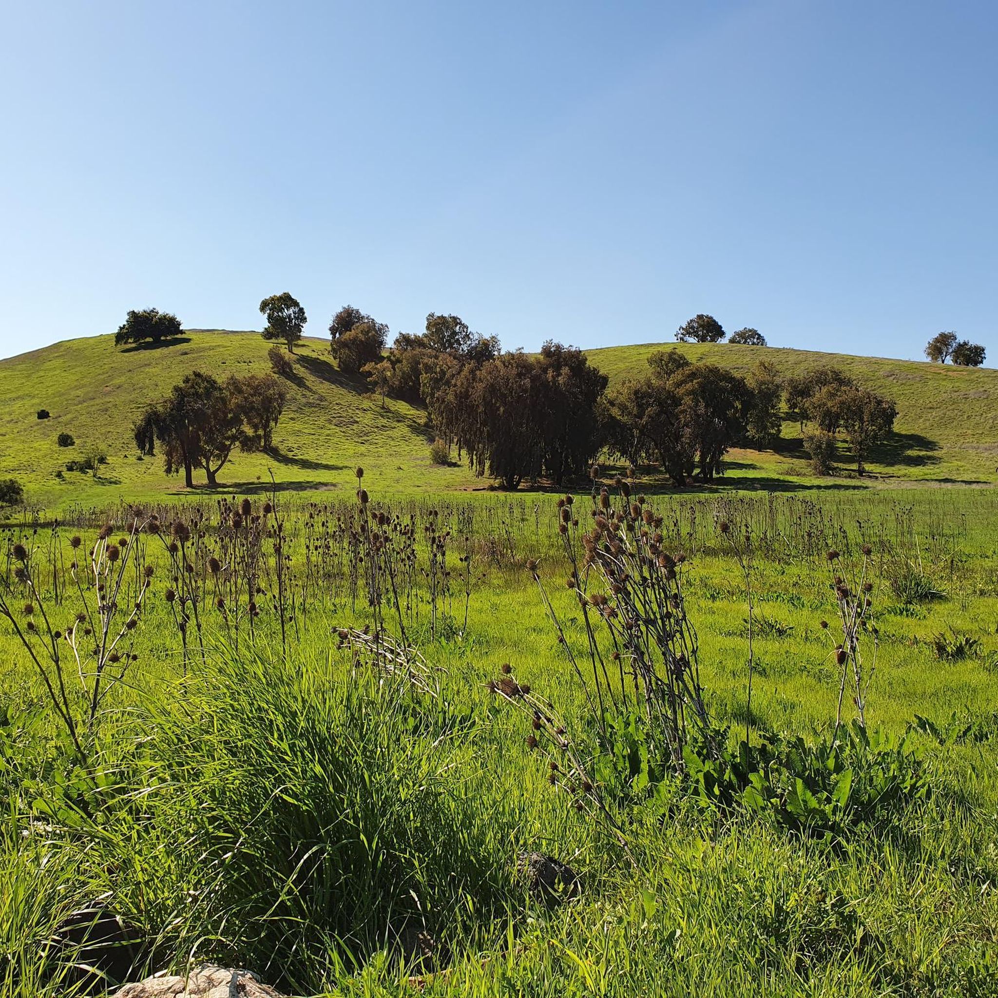
Nestled in the Diablo Range just south of San José, Máyyan ‘Ooyákma – Coyote Ridge is a newly opened 1,859‑acre preserve and home to five miles of public trails, including nearly four miles of the Bay Area Ridge Trail. Rolling hills of rare serpentine grassland offer sweeping views over Coyote Valley and serve as critical habitat for endangered species like the Bay checkerspot butterfly, California red-legged frog, and unique native plants. Visitors can hike, bike, or ride through themed paths (Butterfly Pass required in habitat areas) and enjoy interpretive panels that highlight both natural science and the cultural heritage of the Muwekma Ohlone.
0
0

The pond is nestled within the larger Coyote Creek Parkway, providing access to miles of trails for running, biking, or hiking. You can explore further along Coyote Creek and discover more scenic spots.
0
0

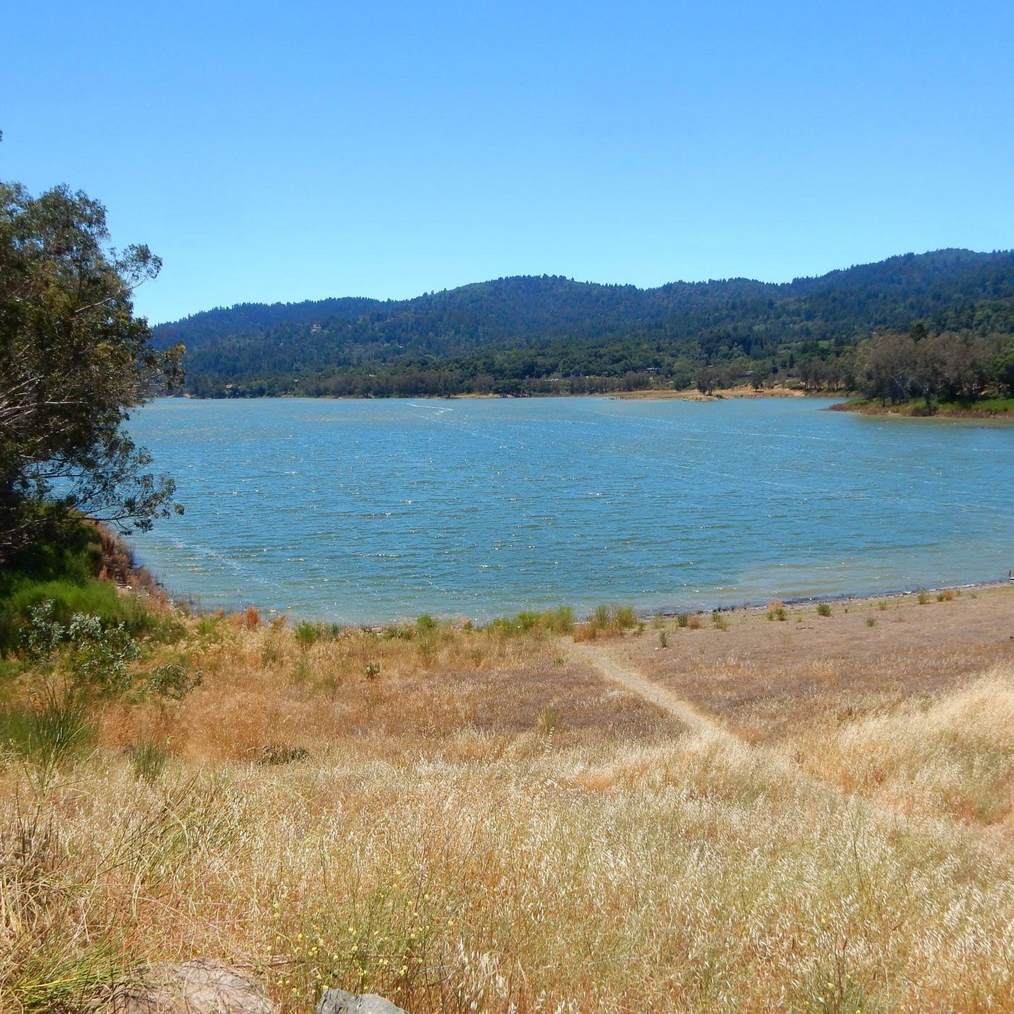
Coyote Pond is a much-loved destination for walkers seeking a refreshing waterside stroll. In the cooler months the pond is filled with water, however it does have the tendency to dry up during the summer months. Whatever the weather, it's still a beautiful location worthy of an explore.
1
0

Coyote Pond in Coyote Creek Parkway is a well-loved destination for runners seeking a revitalizing experience. The expansive parkway provides a perfect backdrop for a fulfilling run around the pond. Keep in mind, during the summer parts of the pond may be dried up.
0
0

The small extra distance traveled down this spur from Arrowhead Loop Trail is well worth it for a beautiful view to the north, east, and southeast. Ideal for a snack break!
0
0

Who doesn’t enjoy Coyote Creek riding Southbound? It’s flat and there is good chance that you’ll get the wind in your back
0
0

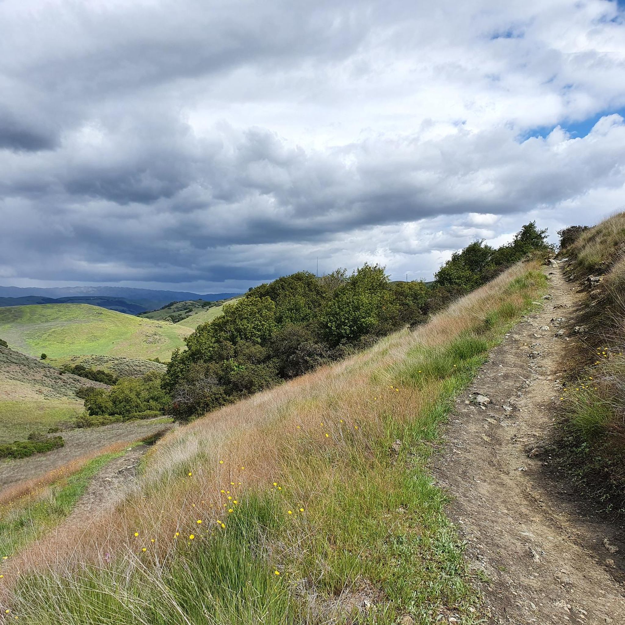
Very nice views of rolling hills and a vegetation of ancient trees providing shade, as well as beautiful well-marked paths. That's what awaits you in Coyote Valley.
0
0

Small dogpark/playground at the end of the San Jose Metroplex
0
0
Frequently Asked Questions
How many hiking trails are available in Coyote Ridge Open Space Preserve?
Coyote Ridge Open Space Preserve offers a network of over 19 hiking trails, catering to various skill levels. You'll find a mix of easy, moderate, and challenging routes to explore the preserve's unique landscape.
What makes the landscape of Coyote Ridge Open Space Preserve unique?
The preserve is renowned for its rare and sensitive serpentine grasslands, which are a biodiversity hotspot supporting unique endemic plants. Hikers can traverse rolling hills to reach ridgelines offering expansive views of Coyote Valley and the wider Santa Clara Valley. It's recognized as the largest protected continuous serpentine grassland in the southern Bay Area.
Are there any special permits or passes required for hiking certain trails?
Yes, to protect sensitive habitats and endangered species, a free annual "Butterfly Pass" is required year-round to access certain trails within the Habitat Protection Area. These include the Serpentine Spring Trail, Tule Elk Trail, and Bay Checkerspot Trail.
What kind of wildlife can I expect to see in the preserve?
Coyote Ridge Open Space Preserve is a critical refuge for rare and endangered species. Visitors might spot the federally threatened Bay checkerspot butterfly, Metcalf Canyon jewelflower, California red-legged frogs, California tiger salamanders, and even herds of tule elk. Various birds of prey also inhabit the area.
When is the best time of year to experience wildflowers?
The spring months are ideal for experiencing the vibrant wildflower displays at Coyote Ridge Open Space Preserve. The unique serpentine habitat contributes to a rich variety of blooms across the hillsides during this season.
Are there trails suitable for families with children?
Yes, the preserve offers several easy trails suitable for families. For example, the Arrowhead Loop Trail — Coyote Valley Open Space Preserve is an easy 3.9-mile path that winds through low grasslands, providing a less strenuous option for younger hikers.
Can I bring my dog on the trails?
The preserve has specific regulations regarding dogs to protect its sensitive ecosystem. It's best to check the official preserve guidelines before your visit to understand where dogs are permitted and if they need to be on a leash.
Are there any accessible trails or features for visitors with mobility needs?
Yes, Coyote Ridge Open Space Preserve includes accessible features. These include a shaded picnic area, seating areas with secluded views, and two scenic overlooks connected by an accessible trail, ensuring a more inclusive experience for all visitors.
What are the parking options at Coyote Ridge Open Space Preserve?
The preserve provides designated parking areas for visitors. It's advisable to arrive early, especially on weekends, as parking can fill up. Always check the official preserve website for the most current information on access points and parking availability.
What do other hikers enjoy the most about hiking in Coyote Ridge Open Space Preserve?
The area is highly rated by the komoot community, with an average score of 4.8 stars from over 40 reviews. Reviewers often praise the expansive views of Coyote Valley, the unique serpentine grasslands, and the opportunity to spot diverse wildlife like tule elk. The variety of trails, from easy loops to more challenging ascents, is also frequently highlighted.
Are there any good loop trails for hiking?
Yes, the preserve features several excellent loop trails. A popular choice is the Hiking loop from Coyote, a moderate 5.4-mile route offering views across the distinctive rolling hills. Another option is the Los Cerritos Pond loop from Edenvale, which leads through varied terrain.
What kind of views can I expect on the trails?
Hikers can expect sweeping panoramic views, especially from the ridgeline trails. Ascending nearly 1,400 feet in elevation, you'll be rewarded with expansive vistas of Coyote Valley and the wider Santa Clara Valley, showcasing the preserve's rolling hills and grasslands.
Most popular routes in Coyote Ridge Open Space Preserve

Get inspired with the komoot mobile app


Explore more
Browse the best Hikes in other regions.
