Máyyan 'Ooyákma – Coyote Ridge Open Space Preserve
Máyyan 'Ooyákma – Coyote Ridge Open Space Preserve
The best road cycling routes in Máyyan 'Ooyákma – Coyote Ridge Open Space Preserve
4.5
(69)
1,923
riders
37
rides
Road cycling routes in Máyyan 'Ooyákma – Coyote Ridge Open Space Preserve and its surrounding areas are characterized by generally flat to gently rolling terrain. These routes primarily utilize paved creek trails and park connectors within Santa Clara County. The region offers dedicated road cycling paths that frequently follow waterways or link various county parks, providing accessible options for road cyclists.
Best road cycling routes in Máyyan 'Ooyákma – Coyote Ridge Open Space Preserve
- The most popular road cycling route is Hellyer Velodrome – Hellyer County Park loop from Santa Teresa County Park, a 15.3 miles (24.6 km) trail that takes about 1 hour 12 minutes to complete. This route connects a velodrome with a county park, offering a varied ride.
- Another top favourite among local road cyclists is Coyote Ranch – Coyote Creek Trail loop from Martin Murphy Middle School, an easy 11.5 miles (18.6 km) path. This route follows the Coyote Creek Trail, known for its smooth surfaces and scenic views.
- Local road cyclists also love the Ogier Ponds Bike Path – Coyote Creek Trail loop from Coyote Creek Parkway, a 11.9 miles (19.1 km) trail leading through open areas and alongside ponds, often completed in about 1 hour 6 minutes.
- Road cycling in Máyyan 'Ooyákma – Coyote Ridge Open Space Preserve is defined by creek-side paths, park connectors, and open agricultural landscapes. The network offers options for different ability levels, from easy loops to moderate distances.
- The routes in Máyyan 'Ooyákma – Coyote Ridge Open Space Preserve are highly rated by the komoot community with an average score of 4.5 stars from over 60 reviews. More than 1900 road cyclists have used komoot to explore Máyyan 'Ooyákma – Coyote Ridge Open Space Preserve's varied terrain.
Last updated: October 18, 2026
5.0
(2)
29
riders
Easy road ride. Great for any fitness level. Mostly well-paved surfaces and easy to ride.
6
riders
16.6km
00:48
50m
50m
Easy road ride. Great for any fitness level. Mostly well-paved surfaces and easy to ride.

5
riders
Moderate road ride. Good fitness required. Some segments of this route may be unpaved and difficult to ride.
5.0
(2)
53
riders
28.9km
01:39
110m
110m
Easy road ride. Great for any fitness level. Mostly well-paved surfaces and easy to ride.
18
riders
Easy road ride. Great for any fitness level. Mostly well-paved surfaces and easy to ride.
Get access to more routes and recommendations from other explorers.
Already have an account?
Our route recommendations are based on thousands of hikes, rides, and runs completed by other people on komoot.
Start today with a free account
Your next adventure awaits.
Popular around Máyyan 'Ooyákma – Coyote Ridge Open Space Preserve
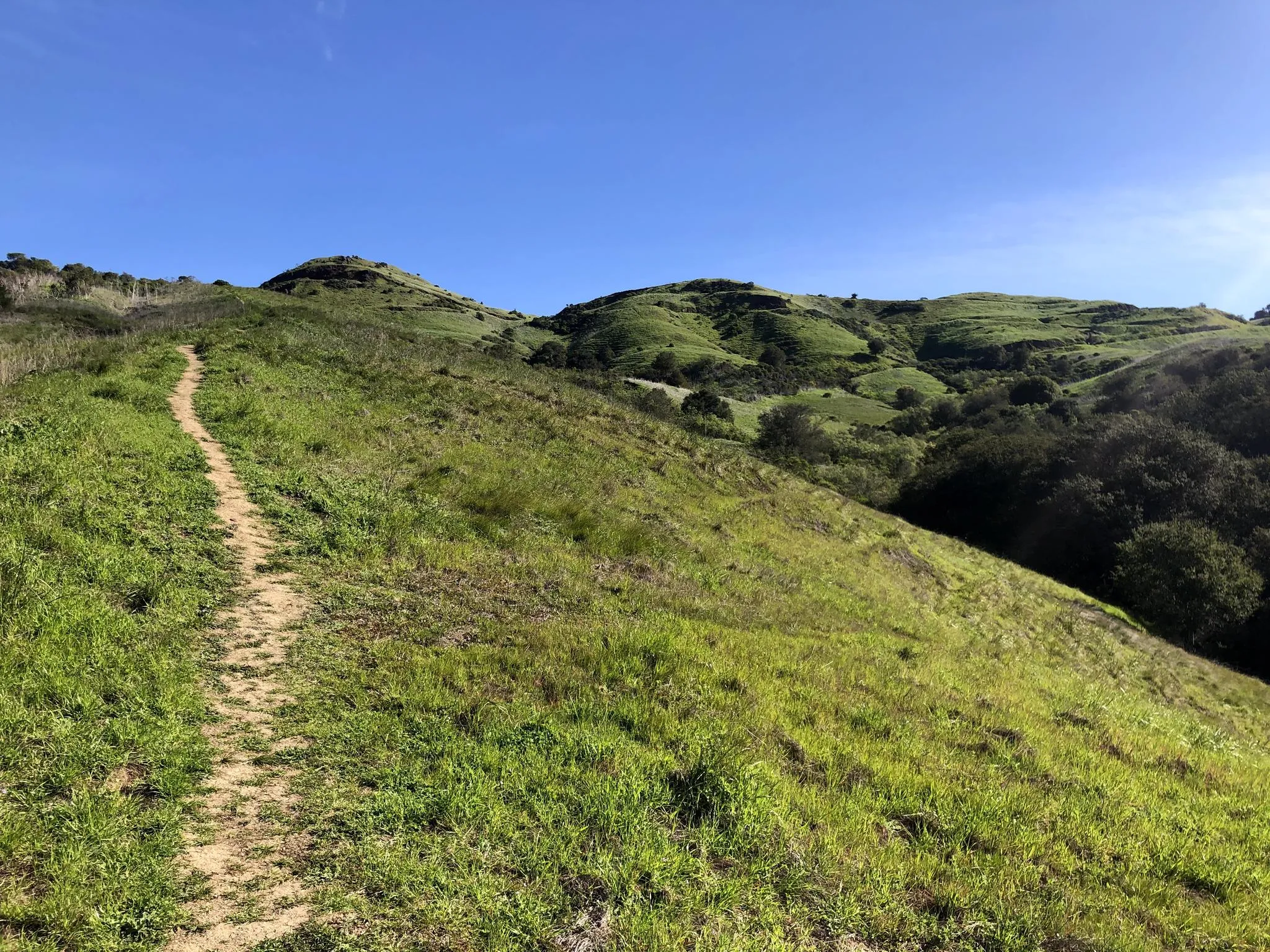
Bay Area Ridge Trail — Hiking the backbone of The Bay
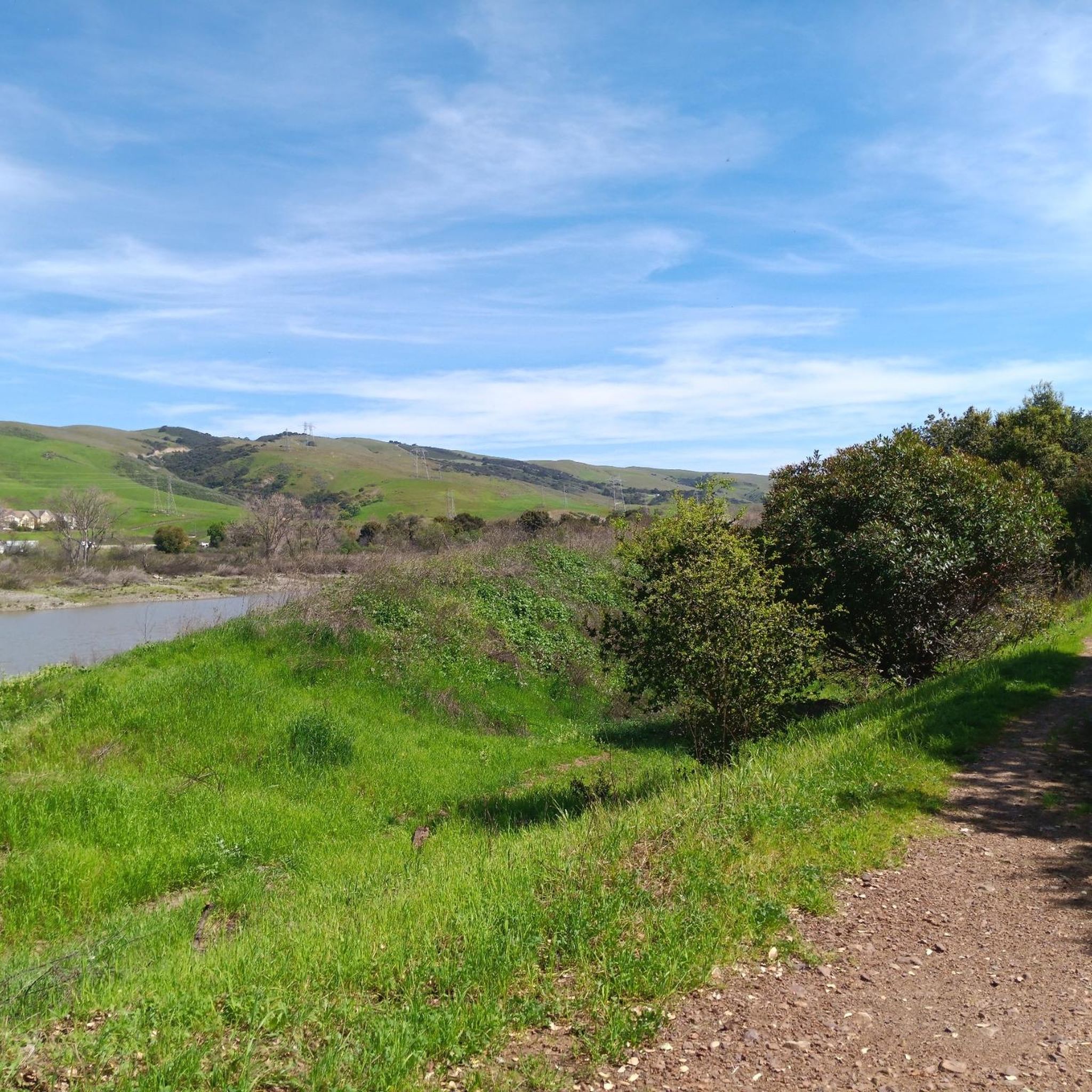
Hiking in Máyyan 'Ooyákma – Coyote Ridge Open Space Preserve
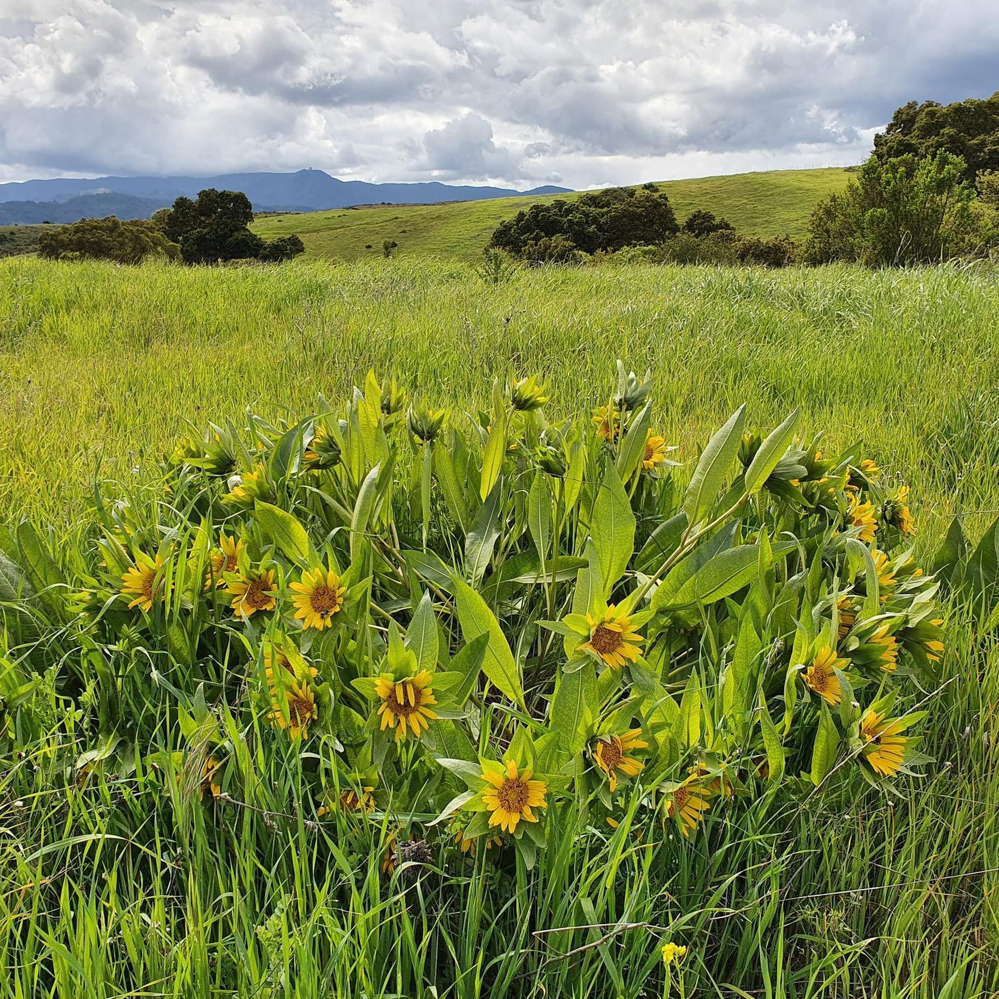
Running Trails in Máyyan 'Ooyákma – Coyote Ridge Open Space Preserve
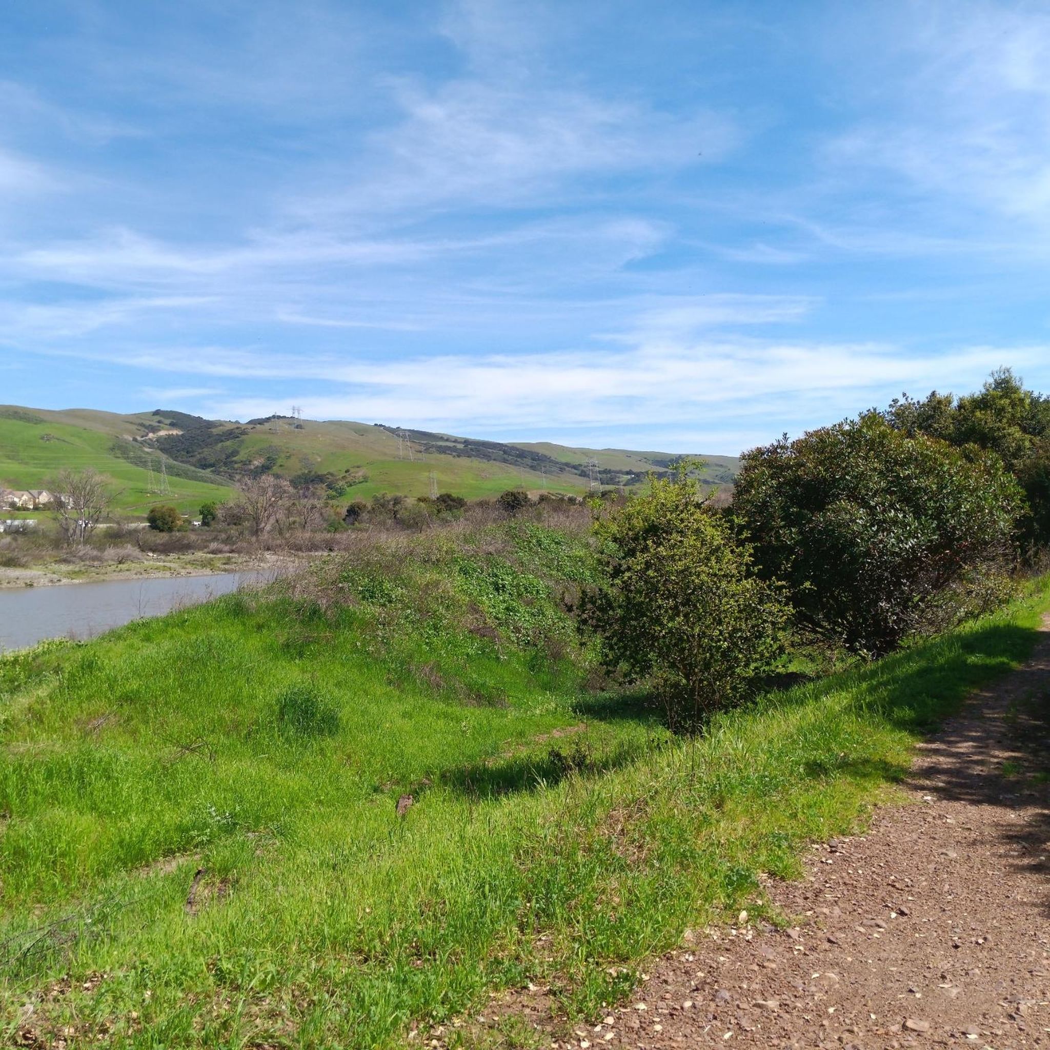
Cycling in Máyyan 'Ooyákma – Coyote Ridge Open Space Preserve
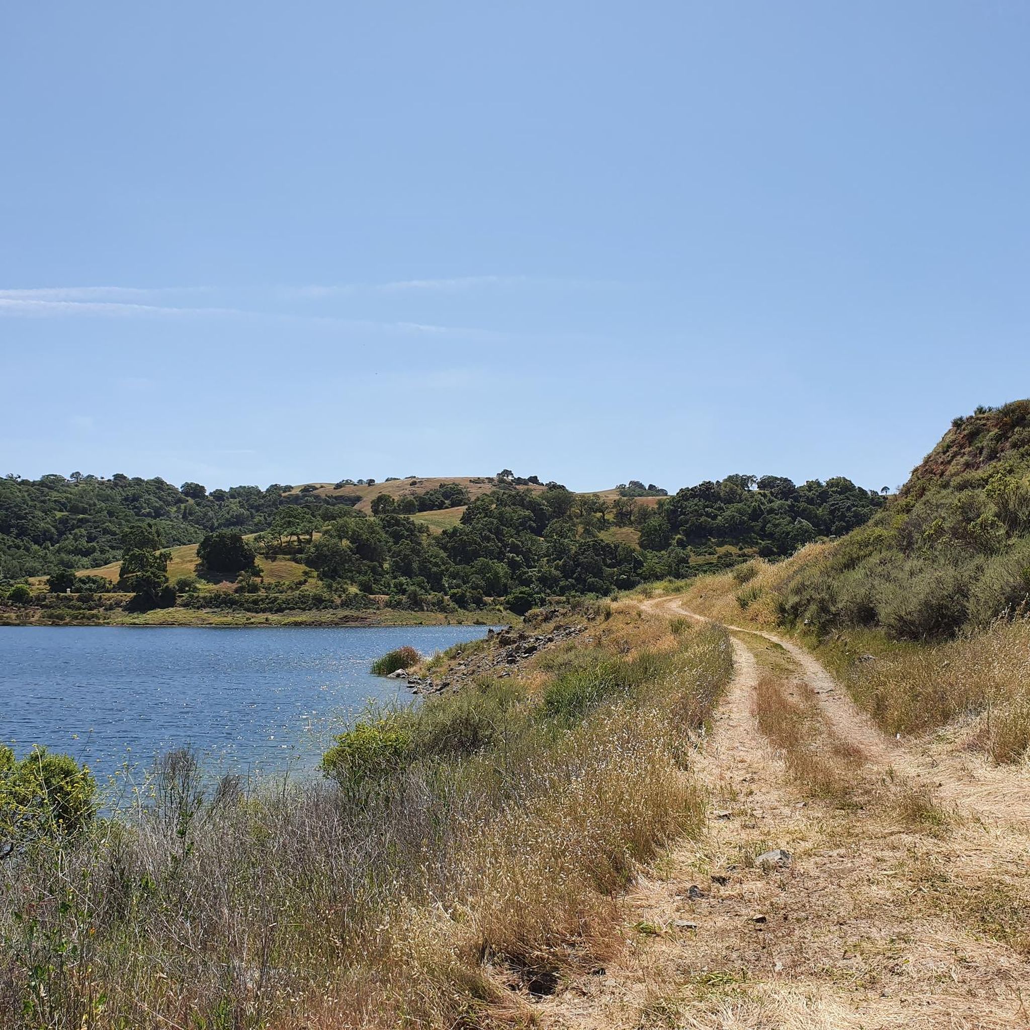
MTB Trails in Máyyan 'Ooyákma – Coyote Ridge Open Space Preserve
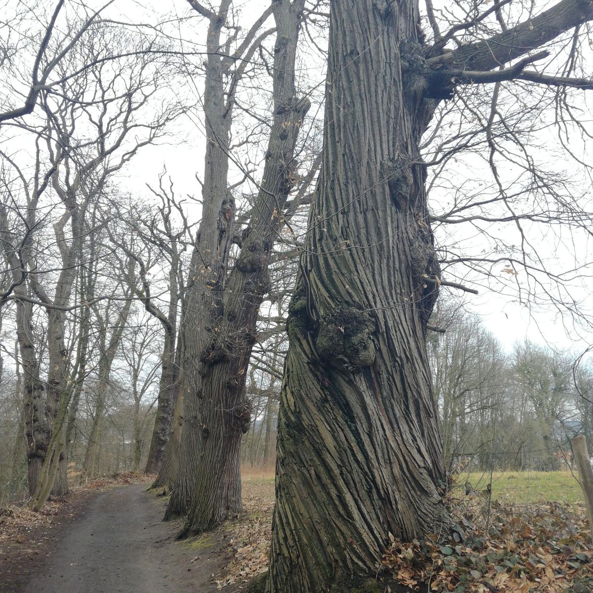
Gravel biking in Máyyan 'Ooyákma – Coyote Ridge Open Space Preserve
Other adventures in Máyyan 'Ooyákma – Coyote Ridge Open Space Preserve

Tips from the Community

Hellyer Park Velodrome is Northern California’s only dedicated bicycle racing facility. Located in a car-free park along Coyote Creek, it’s perfect for cyclists of all levels, from beginners to pros, to train and race.
1
0
Here, you can buy fresh fruit, including prunes, pears, apricots, and cherries, depending on the season.
0
0

The Coyote Creek Trail passes through the heart of Coyote Ranch, which is lined with open pastures and hillsides. There are also a couple small reservoirs on the property that you get to walk by during your hike.
0
0

The pond is nestled within the larger Coyote Creek Parkway, providing access to miles of trails for running, biking, or hiking. You can explore further along Coyote Creek and discover more scenic spots.
0
0

The Coyote Creek Trail, also called the Bay Area Ridge Trail, is a stunningly paved multi-use path that slowly transitions to gravel. The trail winds in between a number of ponds and has a little more shade at the turnaround loop.
0
0
This is a beautiful spot just north of Morgan Hill. In the east you have farms and flat country roads, and in the west there is more mountainous open space preserves.
0
0
There is a cool bridge here located in a little canyon. This point is just about where Anderson Lake flows into Coyote Creek.
0
0
The Coyote Creek Trail, also called the Bay Area Ridge Trail, is a stunningly paved multi-use path that slowly transitions to gravel. The trail winds in between a number of ponds and has a little more shade at the turnaround loop.
0
0
Frequently Asked Questions
What kind of terrain can I expect for road cycling in Máyyan 'Ooyákma – Coyote Ridge Open Space Preserve?
Road cycling routes in the broader Máyyan 'Ooyákma – Coyote Ridge Open Space Preserve area typically feature generally flat to gently rolling terrain. These routes often utilize paved creek trails and park connectors within Santa Clara County. While the preserve itself has unpaved trails more suited for mountain or gravel biking, the region offers dedicated paved paths for road cyclists.
How many road cycling routes are available in the Máyyan 'Ooyákma – Coyote Ridge Open Space Preserve region?
There are over 40 road cycling routes available in the Máyyan 'Ooyákma – Coyote Ridge Open Space Preserve region, catering to various skill levels. This includes 15 easy routes, 22 moderate routes, and 3 more challenging options.
Are there any easy road cycling routes suitable for beginners?
Yes, the region offers several easy road cycling routes. A popular choice is the Coyote Ranch – Coyote Creek Trail loop from Martin Murphy Middle School, an 11.5-mile path known for its smooth surfaces and scenic views. Another accessible option is the Ogier Ponds Bike Path loop from Malaguerra Winery, which is just under 9 miles.
What are some popular longer road cycling routes in the area?
For a longer ride, consider the Coyote Creek Trail – Ogier Ponds Bike Path loop from Coyote Valley Open Space Preserve Entrance. This moderate route covers approximately 27 miles (43.7 km) and includes some elevation gain, offering a more extended experience.
What do other road cyclists say about the routes in Máyyan 'Ooyákma – Coyote Ridge Open Space Preserve?
The road cycling routes in this region are highly rated by the komoot community, with an average score of 4.6 out of 5 stars from over 60 reviews. Cyclists often praise the well-maintained creek-side paths, park connectors, and the open agricultural landscapes that define the network.
Are there any specific permits or passes required to access trails for road cycling?
While the preserve itself requires a free 'Butterfly Pass' for trails within the Habitat Protection Area, this primarily applies to unpaved trails more suited for mountain or gravel biking. For the paved road cycling routes outside the immediate preserve, such as those along creek trails and park connectors, specific permits are generally not required.
What natural features or viewpoints can I expect to see along road cycling routes?
While the preserve's unpaved trails offer sweeping views of Coyote Valley and the Santa Clara Valley, road cycling routes in the surrounding area often follow waterways like the Coyote Creek Trail, providing scenic views of the creek, open areas, and alongside ponds. You'll experience the region's characteristic open agricultural landscapes.
Are there any seasonal considerations for road cycling in the Máyyan 'Ooyákma – Coyote Ridge Open Space Preserve area?
The preserve itself has seasonal restrictions, generally not permitting bikes on its unpaved trails on Saturdays and Sundays from March through May due to sensitive habitat conditions during wildflower blooming season. For paved road cycling routes in the broader region, these restrictions typically do not apply, making them accessible year-round, though spring offers vibrant wildflower displays in the surrounding hillsides.
Can I find loop routes for road cycling in this region?
Yes, many of the road cycling options in the area are designed as loops. For example, the Hellyer Velodrome – Hellyer County Park loop from Santa Teresa County Park is a popular 15.3-mile loop, and the Coyote Pond – Coyote Ranch loop from Hale Avenue & San Bruno Avenue offers a 14.1-mile circular ride.
Is the Máyyan 'Ooyákma – Coyote Ridge Open Space Preserve area suitable for family-friendly road cycling?
Yes, the region offers several easy, generally flat, and paved routes that are suitable for families. The creek-side paths and park connectors provide a safe and enjoyable environment for cyclists of all ages, allowing for leisurely rides through scenic landscapes.
Where can I find parking for road cycling access points?
Many road cycling routes in the region start from or pass through county parks and public access points, which typically offer parking facilities. For instance, routes often begin near locations like Santa Teresa County Park or Martin Murphy Middle School, which usually have parking available for visitors.
What is the best time of year to go road cycling in this area?
The region is generally pleasant for road cycling throughout much of the year. Spring (March-May) is particularly beautiful with vibrant wildflower displays, though it's important to note potential restrictions on unpaved trails within the preserve itself during this time. Fall and mild winter days also offer comfortable riding conditions.
Most popular routes in Máyyan 'Ooyákma – Coyote Ridge Open Space Preserve

Get inspired with the komoot mobile app


Explore more
Browse the best Road cycling routes in other regions.
