Monte Bello Open Space Preserve (Closed Area)
Monte Bello Open Space Preserve (Closed Area)
The best road cycling routes in Monte Bello Open Space Preserve (Closed Area)
4.3
(86)
2,539
riders
51
rides
Road cycling in Monte Bello Open Space Preserve (Closed Area) offers challenging terrain along Skyline Ridge in the Santa Cruz Mountains. The preserve features significant elevation gains, with routes ascending to Black Mountain, the highest point, providing panoramic vistas of the San Francisco Bay, Santa Clara Valley, and the Pacific Ocean. Cyclists traverse diverse ecosystems, including rolling grasslands and dense creekside forests, within the upper Stevens Creek watershed and the rift valley of the San Andreas Fault. This region is…
Last updated: October 19, 2026
45
riders
Moderate road ride. Good fitness required. Some segments of this route may be unpaved and difficult to ride.
3.5
(2)
20
riders
19.6km
01:08
470m
470m
Moderate road ride. Good fitness required. Mostly well-paved surfaces and easy to ride.

4.5
(2)
25
riders
Moderate road ride. Good fitness required. Mostly well-paved surfaces and easy to ride.
3.0
(1)
14
riders
24.0km
01:13
300m
300m
Moderate road ride. Good fitness required. Mostly well-paved surfaces and easy to ride.
14
riders
Moderate road ride. Good fitness required. Some segments of this route may be unpaved and difficult to ride.
Get access to more routes and recommendations from other explorers.
Already have an account?
Our route recommendations are based on thousands of hikes, rides, and runs completed by other people on komoot.
Start today with a free account
Your next adventure awaits.
Popular around Monte Bello Open Space Preserve (Closed Area)

Tips from the Community

The Northern part of Alpine Road is a paved and curvy descent through wooded areas and runs parallel to Coal Mine Ridge Preserve, eventually connecting with the trailhead there.
0
0

This mostly paved bike trail alongside Alpine Road is great for bike commuting — just don't run over any slower trail users! The trail runs all the way from Portola Valley to Stanford, offering some nice shade along the way. The brief moments of unpaved trail are near the Portola Valley end.
0
0

Great paved road that takes you through Picchetti Ranch Open Space Preserve. On clear days, there are great views of the Cupertino valley and the San Francisco Bay.
0
0

Stevens Creek Reservoir spans 87 acres and is surrounded by a 1,063-acre park. Visitors can enjoy hiking, horseback riding, picnicking, and limited fishing. Seasonal boating for low-power boats is available from mid-April to mid-October. The park is open daily from 8 a.m. to sunset, with vehicle entry fees collected year-round at the Chestnut Parking Lot. Visitors can explore natural beauty and historic remnants like the Villa Maria orchard.
1
0

Charming bridge crossing Seven's Creek Boulevard at the north end of Creekside Park. Nearby, you’ll find the historic Stocklmeir Farmhouse in Blackberry Farm Park.
0
0

Black Mountain, situated on Monte Bello Ridge, is a popular destination for hikers and mountain bikers. With an elevation of 2,812 feet, it's easy to understand why. From the summit, the views of the Santa Cruz Mountains and Silicon Valley are breathtaking.
0
0
This fantastic tavern, founded in 1852, is the second oldest in the state. It features a large, beer garden-style outdoor area with plenty of shade. An extensive beer and food menu makes it a perfect stop to enjoy a brew and some great food after a ride.
0
0
Great paved road that takes you through Picchetti Ranch Open Space Preserve. On clear days, there are great views of the Cupertino valley and the San Francisco Bay.
0
0
Frequently Asked Questions
How many road cycling routes are available in Monte Bello Open Space Preserve (Closed Area)?
There are over 45 road cycling routes in Monte Bello Open Space Preserve (Closed Area), catering to various skill levels. You'll find a mix of easy, moderate, and difficult options to explore the region's diverse landscapes.
What kind of terrain and elevation can I expect when road cycling in Monte Bello Open Space Preserve?
Road cycling in Monte Bello Open Space Preserve is known for its challenging climbs and significant elevation gains. Routes often ascend to Black Mountain, offering rigorous workouts. While many trails feature paved surfaces, some incorporate unpaved sections and fire roads, adding variety. Expect average slopes generally not exceeding 10% grade, though some sections can be steeper, with routes involving over 1,500 feet of elevation gain.
What are the best viewpoints or natural features to see along the road cycling routes?
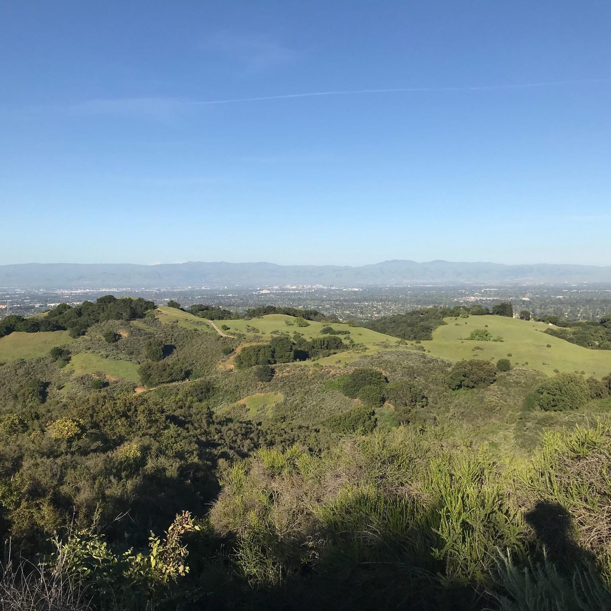
The preserve offers breathtaking panoramic vistas of the San Francisco Bay, Santa Clara Valley, Mount Hamilton Range, and even the Pacific Ocean from higher elevations. Black Mountain, the highest point, provides unparalleled 360-degree views. You'll also cycle through diverse ecosystems, including rolling grasslands, dense creekside forests, and areas within the Stevens Creek watershed and the San Andreas Fault rift valley.
Are there any easy road cycling routes suitable for less experienced riders?
Yes, while the preserve is known for its challenging climbs, there are 16 routes rated as easy. These routes still allow you to experience the beautiful scenery without the most demanding ascents. For example, the Alpine Road – Dwight Crowder Path loop from La Honda is a moderate option that offers a manageable experience.
What is the best time of year to go road cycling in Monte Bello Open Space Preserve?
The preserve is enjoyable year-round, but spring is particularly beautiful when the grasslands come alive with vibrant wildflowers like owl's clover and blue-eyed grass. Cyclists should be aware that some trails may be closed during wet conditions, and mosquitoes can be present in lower, tree-covered areas on warm days.
Are there any loop routes available for road cycling?
Yes, many road cycling routes in Monte Bello Open Space Preserve are designed as loops, allowing you to start and end at the same point. A popular example is the Montebello Road loop from Campbell, which offers a substantial elevation gain characteristic of the preserve's challenging terrain.
What do other road cyclists enjoy most about road cycling in Monte Bello Open Space Preserve?
The area is highly rated by the komoot community, with an average score of 4.5 stars from over 50 reviews. Reviewers often praise the challenging climbs, the rewarding panoramic vistas from high points like Black Mountain, and the diverse ecosystems encountered along the routes, from grasslands to dense forests.
Is there parking available for road cyclists at Monte Bello Open Space Preserve?
Yes, the preserve provides bike racks at its main parking area, making it convenient for cyclists to park their vehicles and begin their rides. Specific parking details for individual trailheads can often be found on the respective route pages.
Are there any restrictions or closures I should be aware of when planning a road cycling trip?
Cyclists should be aware that some trails may be closed to bikes during wet conditions to prevent damage. Additionally, portions of Montebello Road might experience intermittent closures due to utility work. It's always advisable to check the preserve's official website for the latest updates on trail conditions and closures before your visit.
Can I connect to other open space preserves from Monte Bello for longer rides?
Yes, Monte Bello Open Space Preserve serves as a crucial link in a larger network of protected open spaces. It connects to Upper Stevens Creek County Park, Rancho San Antonio, Russian Ridge, Skyline Ridge, Los Trancos, and Coal Creek Open Space Preserves. This connectivity allows cyclists to create extensive and varied long-distance loops.
What kind of wildlife might I encounter while cycling?
The preserve is rich in wildlife. While cycling, you might have sightings of bobcats, deer, and coyotes. Mountain lions are also present in the area, though less commonly seen. Always maintain a respectful distance from wildlife.
Are there any particularly long or difficult routes for advanced road cyclists?
Absolutely. Monte Bello Open Space Preserve offers several challenging routes for advanced cyclists. For instance, the Stevens Creek Reservoir – Skyline Boulevard loop from Rancho San Antonio County Park is a difficult 67.4-mile trail with significant elevation gain, often taking nearly 6 hours to complete. Another demanding option is the Mount Umunhum Road – Mount Umunhum loop from Monta Vista High School.
Most popular routes in Monte Bello Open Space Preserve (Closed Area)

Get inspired with the komoot mobile app


Explore more
Browse the best Road cycling routes in other regions.
