The best cycling routes in Los Trancos Open Space Preserve
4.8
(25)
887
riders
41
rides
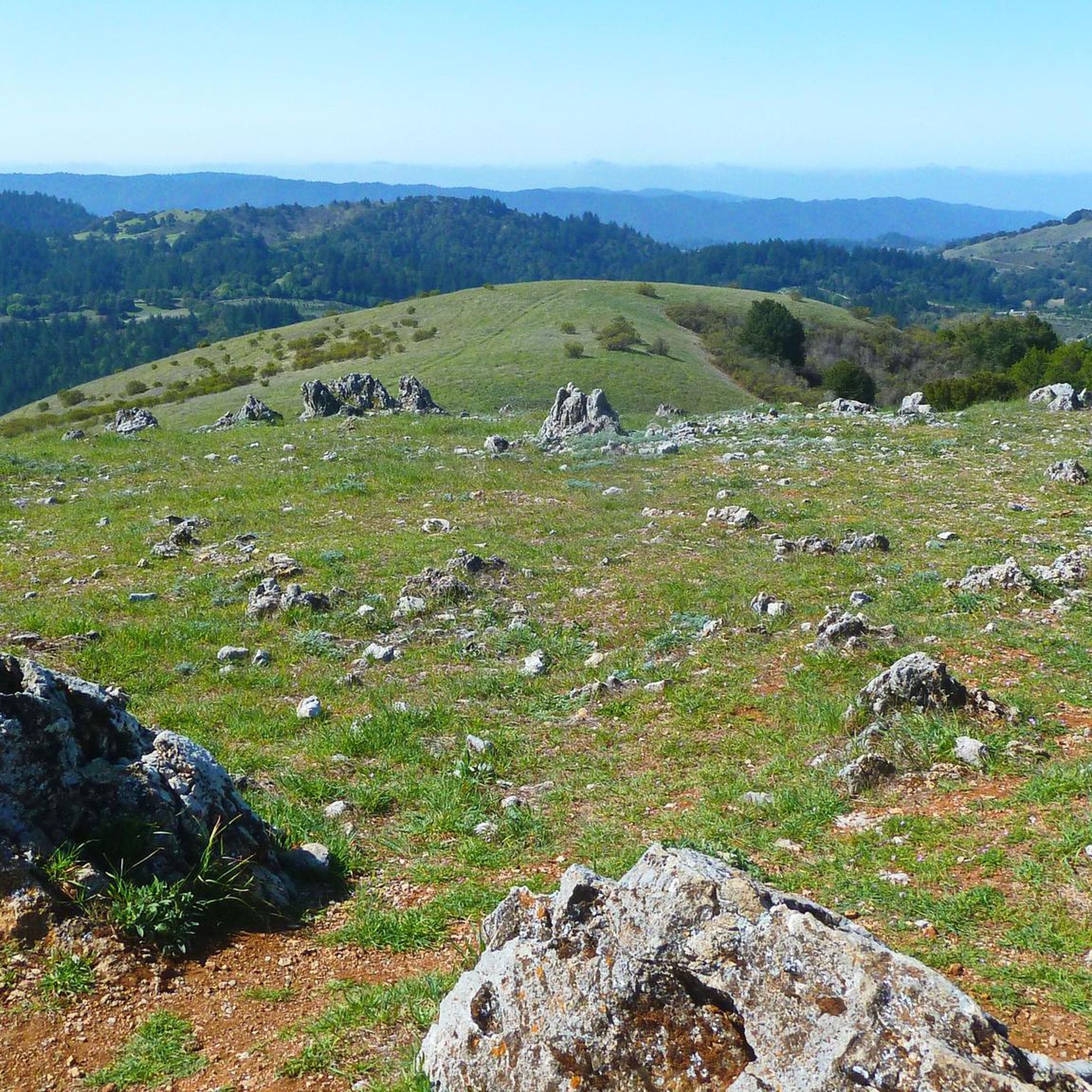
Touring cycling routes in Los Trancos Open Space Preserve are situated within the Santa Cruz Mountains, offering varied terrain in the surrounding region. While Los Trancos Open Space Preserve itself does not permit bicycles, the area features rolling grassland knolls, oak woodlands, and shaded forests. Routes in this elevated region provide panoramic views of the surrounding landscape, including distant peaks and the San Francisco Bay Area. The environment is characterized by diverse ecosystems and natural features.
Best touring cycling routes…
Last updated: October 12, 2026
8
riders
Hard bike ride. Very good fitness required. Mostly paved surfaces. Suitable for all skill levels.
4
riders
17.9km
01:15
320m
320m
Moderate bike ride. Good fitness required. Mostly paved surfaces. Suitable for all skill levels.

5.0
(2)
91
riders
63.8km
04:38
1,440m
1,440m
Hard bike ride. Very good fitness required. Mostly paved surfaces. Suitable for all skill levels.
22
riders
Hard bike ride. Very good fitness required. Mostly paved surfaces. Suitable for all skill levels.
5.0
(1)
20
riders
Moderate bike ride. Good fitness required. Mostly paved surfaces. Suitable for all skill levels.
Get access to more routes and recommendations from other explorers.
Already have an account?
Our route recommendations are based on thousands of hikes, rides, and runs completed by other people on komoot.
Start today with a free account
Your next adventure awaits.
Tips from the Community


Once upon a time this was the only general store in this area, serving not only as a general-purpose retailer but also the post office, bank, and informal dentist's office. Nowadays it's a museum, staffed by docents ready to offer drop-in history lessons.
0
0

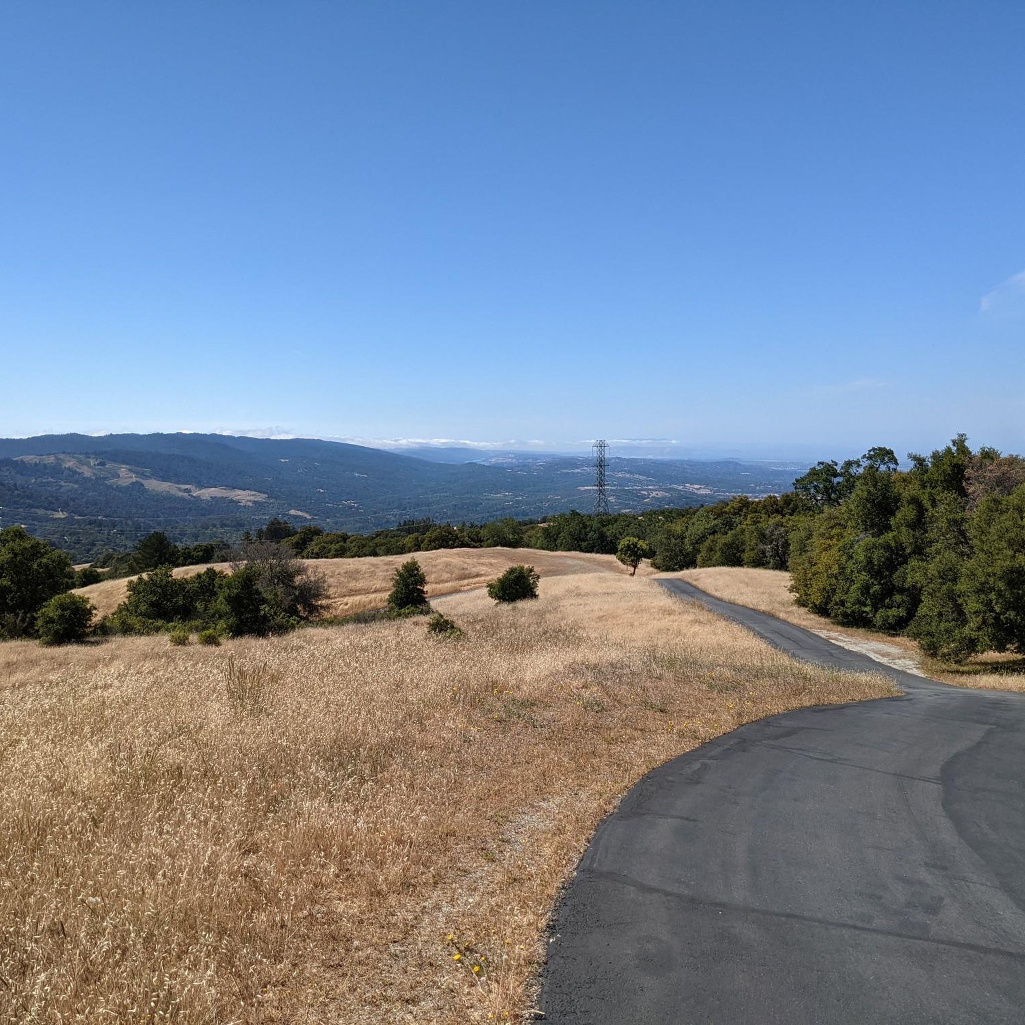
The Northern part of Alpine Road is a paved and curvy descent through wooded areas and runs parallel to Coal Mine Ridge Preserve, eventually connecting with the trailhead there.
0
0
This mostly paved bike trail alongside Alpine Road is great for bike commuting — just don't run over any slower trail users! The trail runs all the way from Portola Valley to Stanford, offering some nice shade along the way. The brief moments of unpaved trail are near the Portola Valley end.
0
0
Didn’t OLR used to turn into Dirt before reaching Skyline? Is it all pavement now?? Scott
0
0

Woodside Store was built back in the 1850s by two pioneers who came to California for the gold rush. At the time it was the only stagecoach stop between San Francisco and Santa Clara, and it carried all the essential items that travelers riding between cities might need. The store has been restored, inside and out, to look exactly as it did centuries ago. You can call the museum ahead of your trip to book tours.
0
0

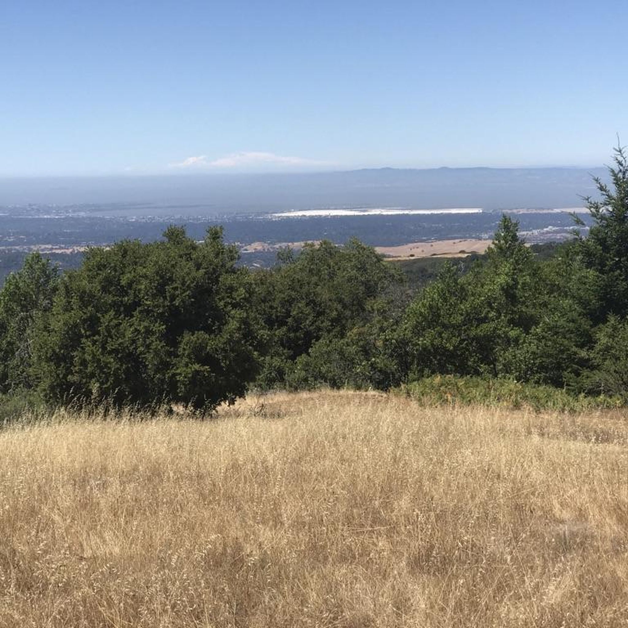
Black Mountain, situated on Monte Bello Ridge, is a popular destination for hikers and mountain bikers. With an elevation of 2,812 feet, it's easy to understand why. From the summit, the views of the Santa Cruz Mountains and Silicon Valley are breathtaking.
0
0
Frequently Asked Questions
Can I cycle directly within Los Trancos Open Space Preserve?
No, bicycles are explicitly not permitted within Los Trancos Open Space Preserve itself. This guide features touring cycling routes in the surrounding region, offering similar landscapes and views near the preserve.
How many touring cycling routes are available in the Los Trancos Open Space Preserve area?
There are over 30 touring cycling routes available in the region surrounding Los Trancos Open Space Preserve. These routes offer a variety of experiences, from moderate to difficult.
What are the typical difficulty levels for touring cycling routes near Los Trancos Open Space Preserve?
The routes in this area cater to various skill levels. You'll find 5 easy routes, 23 moderate routes, and 7 difficult routes, providing options for most touring cyclists.
Are there any popular circular touring cycling routes in the area?
Yes, many routes are designed as loops. A popular moderate option is the Borel Hill – Mindego Hill Windmill loop from Skyline Ridge Open Space Preserve, which is about 11.2 miles (18 km) long.
What kind of landscapes can I expect on these touring cycling routes?
The routes in the Los Trancos Open Space Preserve area traverse varied terrain, including rolling grassland knolls, serene oak woodlands, and cool, shaded forests. You'll often encounter panoramic views of the surrounding landscape and the San Francisco Bay Area.
Are there any routes suitable for families or beginners?
While many routes are moderate to difficult, there are 5 easy routes available in the region. These typically feature less elevation gain and shorter distances, making them more suitable for families or those new to touring cycling.
What do other touring cyclists enjoy most about cycling in this region?
The area is highly rated by the komoot community, with an average score of 4.8 stars from over 20 reviews. Cyclists often praise the diverse landscapes, challenging climbs, and the rewarding panoramic viewpoints.
Are there any notable viewpoints or landmarks along the cycling routes?
While the San Andreas Fault Trail and other geological features are within the preserve (and not accessible by bike), the cycling routes in the surrounding region offer numerous points with expansive vistas. On clear days, you can often see south towards Mount Umunhum and Loma Prieta, and northward to San Francisco and Mount Tamalpais.
Is there public transport access to the starting points of these routes?
Public transport options can be limited in this elevated, rural area. Most touring cyclists typically access the starting points of these routes by car, often utilizing parking areas near open space preserves or trailheads.
What is a good moderate route for touring cyclists looking for a scenic ride?
A great moderate option is the Skyline Boulevard Viewpoint – Borel Hill loop from Skyline Ridge Open Space Preserve. This 7.2-mile (11.6 km) route offers scenic views and takes approximately 1 hour 17 minutes to complete.
What is the best time of year to go touring cycling in the Los Trancos Open Space Preserve area?
The region offers pleasant cycling conditions for much of the year. Spring brings wildflowers and lush greenery, while autumn is vibrant with changing leaf colors. Summer can be warm, but the shaded forest sections provide relief. Always check local weather conditions before heading out.
Are there any long-distance touring cycling options in the vicinity?
For a more challenging, longer ride, consider the Portola Road – Old La Honda Road loop from Skyline Ridge Open Space Preserve. This difficult route spans 33.4 miles (53.7 km) and involves significant elevation gain, typically taking around 4 hours.
Most popular routes in Los Trancos Open Space Preserve

Get inspired with the komoot mobile app


Explore more
Browse the best Cycling routes in other regions.
