The best running trails in Thornewood Open Space Preserve
4.8
(24)
1,964
runners
80
runs
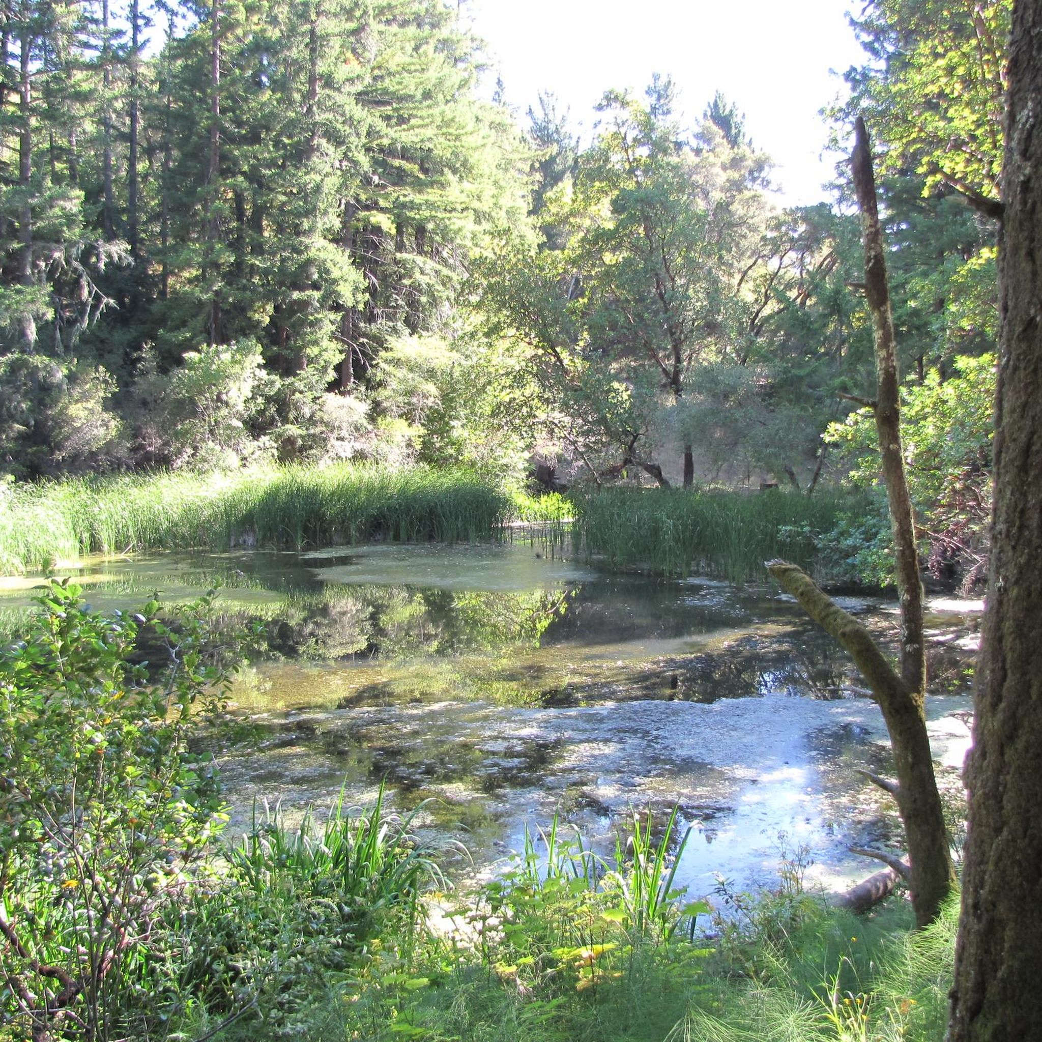
Jogging in Thornewood Open Space Preserve offers a refreshing experience through diverse natural features and varied terrain. This 167-acre regional park, situated in the Santa Cruz Mountains, features trails winding through second-growth redwoods, Douglas fir, oak, and madrone trees, providing shaded paths ideal for running. The preserve also includes Schilling Lake, a protected wildlife habitat, and offers panoramic views of the southern San Francisco Bay and the distant Diablo Range from various points. The landscape is characterized by forested hills…
Last updated: July 9, 2026
7
runners
5.10km
00:43
190m
190m
If you're looking for a rewarding jogging experience through lush forests, the Bear Gulch Trail – Alambique Trail loop from Wunderlich County Park delivers. This moderate 3.2-mile (5.1 km) route…
8
runners
9.07km
01:16
350m
350m
Hard run. Very good fitness required. Mostly paved surfaces. Suitable for all skill levels.

Sign up for free
1
runners
5.29km
00:36
30m
30m
The Woodside Trail Loop offers a serene escape on a predominantly flat dirt path, circling the pleasant open setting of The Meadows community. It's a consistent and smooth surface, perfect…
75
runners
Hard run. Very good fitness required. Mostly paved surfaces. Suitable for all skill levels.
28
runners
8.73km
01:06
390m
390m
Hard run. Very good fitness required. Mostly paved surfaces. Suitable for all skill levels.
Get access to more routes and recommendations from other explorers.
Sign up for free
Already have an account?
Our route recommendations are based on thousands of hikes, rides, and runs completed by other people on komoot.
Start today with a free account
Your next adventure awaits.
Login or Signup

Tips from the Community

The hike from Razorback Ridge trailhead to the Windyhill summit is mostly through shaded sections. Sections of it kept cool from the fog rolling in from the Santa Cruz Mountains. The final section, Anniversary Trail is out in the open but has nice views of the bay.
0
0

Once upon a time this was the only general store in this area, serving not only as a general-purpose retailer but also the post office, bank, and informal dentist's office. Nowadays it's a museum, staffed by docents ready to offer drop-in history lessons.
0
0

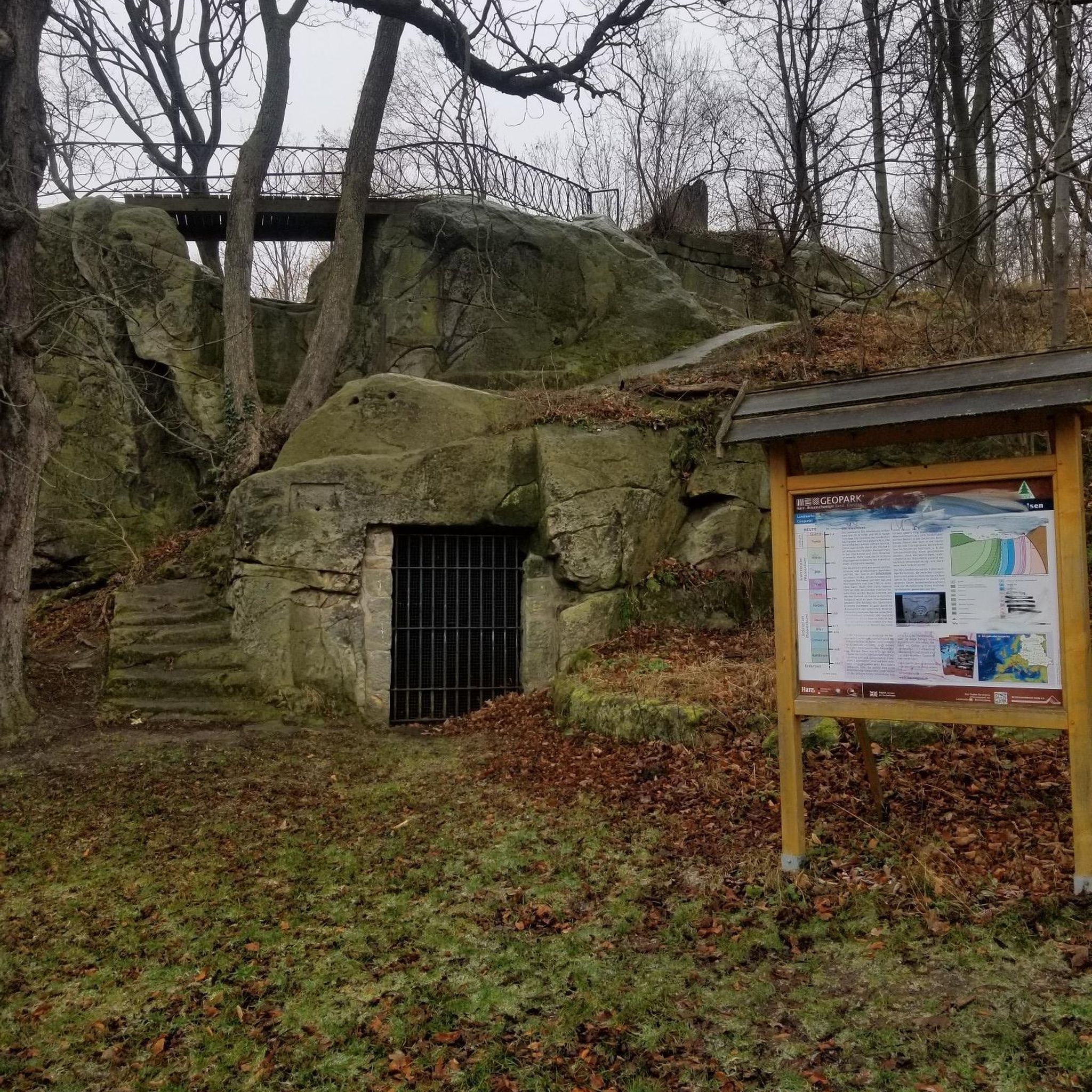
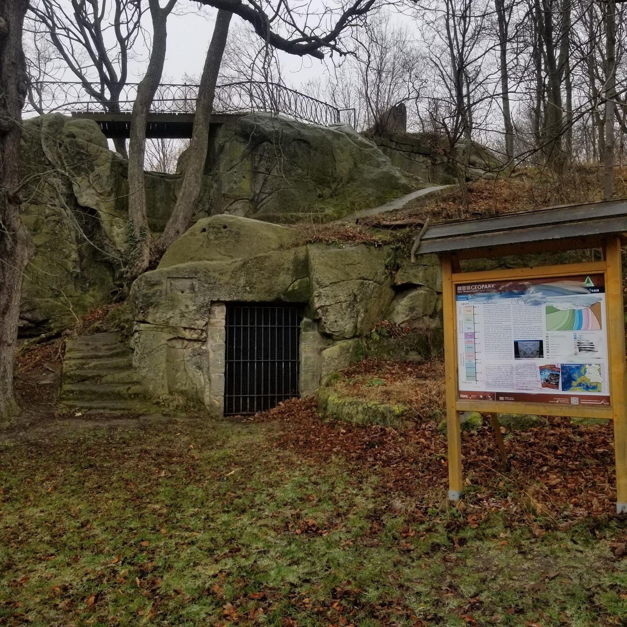
Woodside Store was built back in the 1850s by two pioneers who came to California for the gold rush. At the time it was the only stagecoach stop between San Francisco and Santa Clara, and it carried all the essential items that travelers riding between cities might need. The store has been restored, inside and out, to look exactly as it did centuries ago. You can call the museum ahead of your trip to book tours.
0
0

Wunderlich Park, spanning 942 acres, is picturesque, with a beautiful mix of chaparral and redwood forest, expansive meadows, and striking oak and madrone trees. There is plenty of open space featuring a network of lovely hiking trails. Donated to the county by Martin Wunderlich, this area includes what was once the Folger family ranch. The stable and surrounding buildings have been meticulously restored, serving as a cherished historic landmark for the community. Dogs are not allowed in the park, so you'll need to leave your pup at home.
0
0

Purisima Creek Trailhead features a fence separating the trail from the road and a small pit toilet at the base. Parking is available just 250 feet southeast along Skyline Boulevard. This trail offers everything, from stunning views to towering redwoods, fern-filled canyons, and creeks. Riding through the redwoods is a unique experience.
0
0
Windy Hill Summit, located at an elevation of 1,905 feet within the Windy Hill Open Space Preserve, offers great views of Silicon Valley and the Peninsula. The preserve stretches 1,132 acres along the east side of the Santa Cruz Mountains, coming up from the valley road near Portola Valley to this scenic summit. It’s a great spot to watch the sunset and take in views.
0
1

The Woodside Store, also known as Tripp Store, is located at 3300 Tripp Road at Kings Mountain Road in Woodside, San Mateo County, California. It has been listed on the National Register of Historic Places since 1985 and was designated a California Historical Landmark in 1949. The store's history dates back to October 1849 when Matthias Alfred Parkhurst purchased land in the area and began a shingle-making and lumber business with his partners, including Robert Orville Tripp. The store was established in 1853, originally serving the needs of lumbermen and settlers during the Gold Rush era. Dr. Tripp became the sole operator of the store after Parkhurst's death in 1863, running it until his own death in 1909. He was a well-known figure in Woodside, holding various public offices. The San Mateo County Historical Association acquired the store in the 1940s, and it was restored to its 1880s condition by 1994.
0
0

This wide trail guides you through a variety of mixed forests, including redwoods, California coffeeberry, California hazelnut, and California bay. As you gradually ascend by approximately 1,000 feet, prepare to be captivated by the breathtaking views of the surrounding Redwood area.
0
0
Frequently Asked Questions
How many running routes are available in Thornewood Open Space Preserve?
Thornewood Open Space Preserve offers a wide selection of running routes, with over 60 trails to explore. These routes cater to various fitness levels, ranging from easy strolls to more challenging, longer runs.
Are the running trails in Thornewood Open Space Preserve suitable for beginners?
Yes, there are several options for beginner runners. The preserve features trails with varied terrain, including rolling hills and shaded forest paths, providing both easy and moderate options. While specific beginner routes aren't highlighted, the overall network includes paths suitable for those new to trail running.
Can I bring my dog along for a run in Thornewood Open Space Preserve?
Yes, Thornewood Open Space Preserve is dog-friendly! You are welcome to bring your canine companion to enjoy the trails, provided they are kept on a leash at all times.
What kind of natural features and landmarks can I expect to see while jogging?
Jogging in Thornewood Open Space Preserve offers a rich natural experience. You'll encounter diverse woodlands with second-growth redwoods, Douglas fir, oak, and madrone trees. A central attraction is Schilling Lake, a protected wildlife habitat. From various points, especially along the Schilling Lake Trail, you can enjoy scenic vistas of the southern San Francisco Bay, Palo Alto, and the distant Diablo Range.
Are there any longer running routes for experienced runners?
Absolutely! For those seeking a more challenging and extended run, routes like the Bear Gulch Trail (Meadow) loop from Wunderlich County Park offer a substantial workout. This route covers approximately 9.9 miles (16.0 km) through diverse forest and meadow landscapes, typically completed in about 2 hours and 13 minutes.
What do other runners enjoy most about the trails in Thornewood Open Space Preserve?
The komoot community highly rates the running routes in Thornewood Open Space Preserve, with an average score of 4.8 stars from over 10 reviews. Runners often praise the shaded redwood groves, forested hills, and scenic lake views, highlighting the refreshing and engaging experience amidst nature.
Are there any moderate-difficulty running loops available?
Yes, there are several moderate options perfect for a steady run. A popular choice is the Bear Gulch Trail – Alambique Trail loop from Wunderlich County Park, which is 3.2 miles (5.1 km) long and takes about 43 minutes to complete. Another favorite is the Woodside Trail Loop, a 3.3 miles (5.3 km) path through forested areas with gentle elevation changes.
What is the best time of year to go running in the preserve?
Thornewood Open Space Preserve offers a dynamic natural backdrop throughout the year. Wildflowers appear in late winter and spring, while autumn brings vibrant displays from black oaks and big-leaf maples. The shaded paths through redwood and mixed woodlands provide a pleasant and often cool environment, ideal for jogging even on sunnier days, making it enjoyable across multiple seasons.
Are there any very long or difficult routes for advanced runners?
For advanced runners looking for a significant challenge, routes like the Windy Hill Summit loop from Portola Valley offer extensive distances and considerable elevation gain. This particular route spans approximately 14.5 miles (23.3 km) and is classified as difficult, providing a rigorous workout.
Is there parking available at Thornewood Open Space Preserve?
Yes, Thornewood Open Space Preserve is conveniently located in the hills above Woodside and is generally accessible. While specific parking details for all trailheads are not provided, the preserve is designed for easy access for visitors arriving by car.
Are there any routes that offer historical insights into the area?
While not explicitly a historical tour, the preserve itself holds historical significance. The land was once part of the historic Thornewood estate. For a route that starts near a historical site, consider the Woodside Store (Historic Site) – Purisima Creek Trailhead loop from Woodside, which is a difficult 12.1 miles (19.5 km) run.
What kind of terrain can I expect on the running trails?
The trails in Thornewood Open Space Preserve feature varied terrain, including rolling hills, shaded forest paths, and redwood groves. You'll find a mix of surfaces, from well-maintained dirt paths to more natural, uneven ground, providing a good workout and diverse running experience.
Most popular routes in Thornewood Open Space Preserve

Get inspired with the komoot mobile app


Explore more
Browse the best Running Trails & Routes in other regions.
