The best cycling routes in Vargas Plateau Regional Park
4.4
(71)
1,173
riders
82
rides
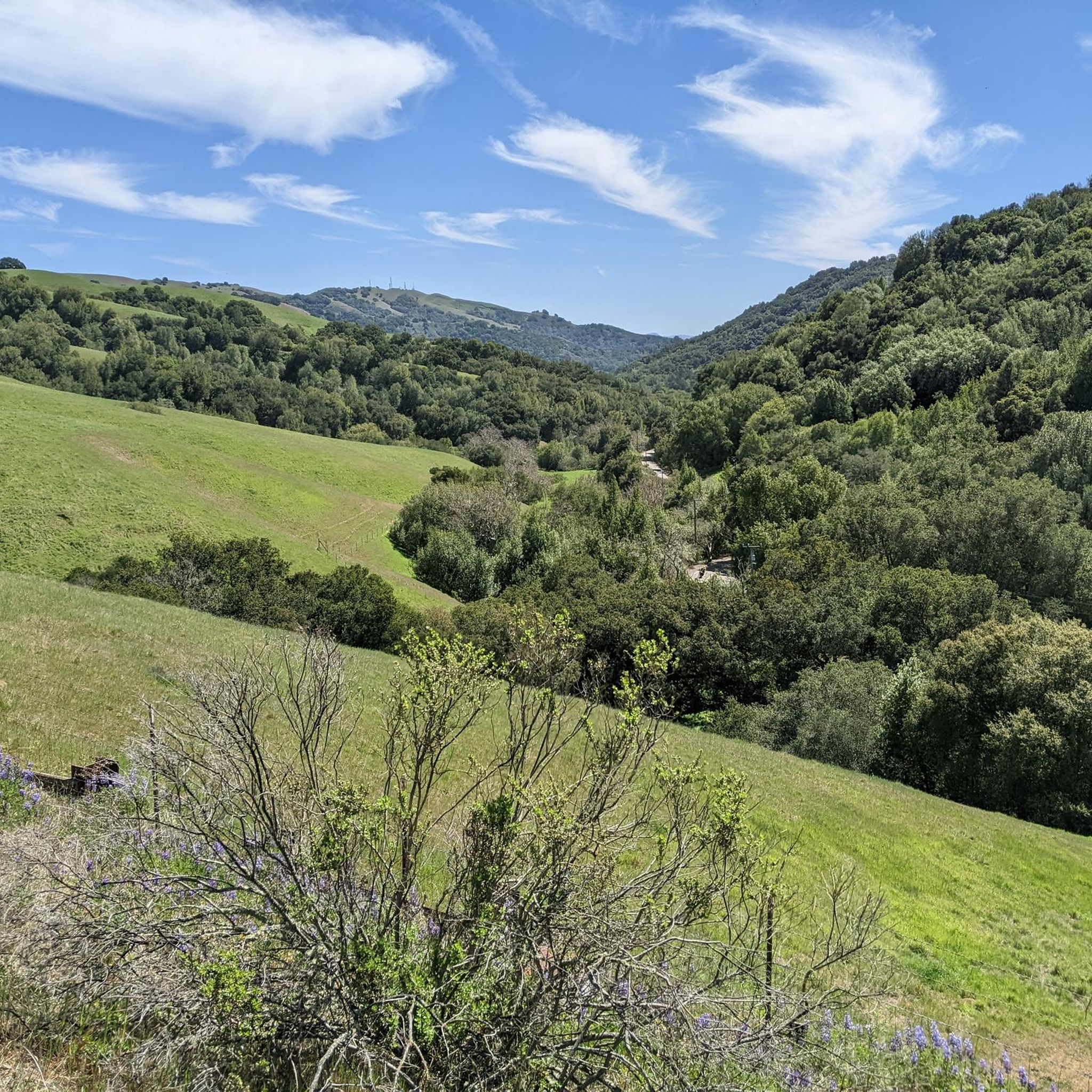
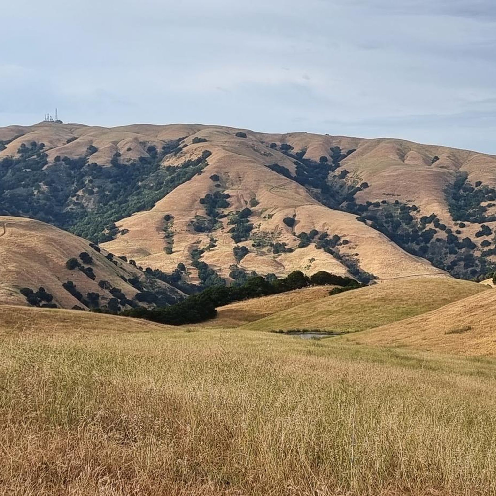
Touring cycling in Vargas Plateau Regional Park offers routes across an elevated plateau, providing panoramic views of the Bay Area, Niles Canyon, and Mission Peak. The landscape features rolling grasslands, oak woodlands, and seasonal wetlands, creating diverse terrain for cyclists. Many routes utilize former ranch and fire roads, offering both open, exposed sections and areas near steep wooded canyons. This varied environment supports a range of touring cycling experiences.
Best touring cycling routes in Vargas Plateau Regional Park
- The most…
Last updated: July 8, 2026
15.7km
01:09
340m
280m
Moderate bike ride. Good fitness required. Mostly paved surfaces. Suitable for all skill levels.
15
riders
Moderate bike ride. Good fitness required. Mostly paved surfaces. Suitable for all skill levels.

Sign up for free
6
riders
Moderate bike ride. Good fitness required. Mostly paved surfaces. Suitable for all skill levels.
23.8km
01:23
30m
30m
Easy bike ride. Great for any fitness level. Mostly paved surfaces. Suitable for all skill levels.
4.5
(2)
37
riders
26.0km
01:53
60m
60m
Easy bike ride. Great for any fitness level. Mostly paved surfaces. Suitable for all skill levels.
Get access to more routes and recommendations from other explorers.
Sign up for free
Already have an account?
Our route recommendations are based on thousands of hikes, rides, and runs completed by other people on komoot.
Start today with a free account
Your next adventure awaits.
Login or Signup
Tips from the Community

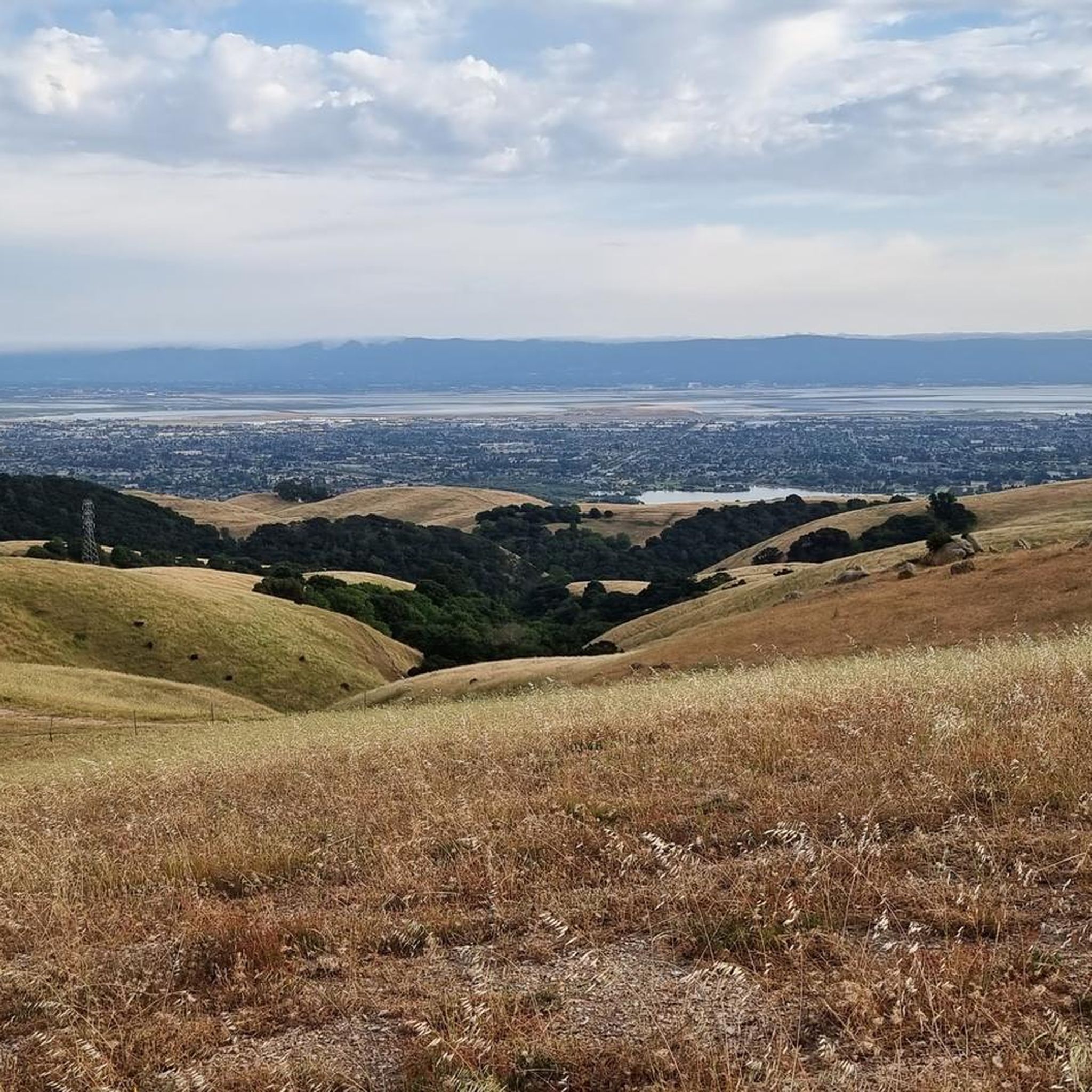
The Vargas Plateau is a very good example of nature at the gates of the city. At the top of the plateau you overlook Niles Canyon, Fremont, Union City, Newark and the San Francisco Bay.
0
0

The history of trains in Niles Canyon dates back to the building of the original transcontinental railroad. Today, you can still take train trips around the scenic and historic Niles Canyon Route on old-timey steam /diesel trains.
0
0

The Niles Canyon Railway Museum preserves the history of railroads in California. The museum is free, but only open on select Sundays, so check their schedule before going.
0
0

Scenic canyon through the South Bay hills to the Central Valley. Its level topography made it a preferred route for trains and cars, so it can get a bit tight for biking where Niles Canyon is narrow and leaves little space for the road shoulder. In a wider section near Brightside the historic trains are preserved in an old railyard with a loop, offering museum rides.
0
0
The Vargas Plateau is a very good example of nature at the gates of the city. At the top of the plateau you overlook Niles Canyon, Fremont, Union City, Newark and the San Francisco Bay.
0
0

Very dangerous road for bicyclists. Partially lacking even a painted bicycle gutter which forces you into the same lane as ~50mph traffic. Experienced multiple "punishment passes" and was really glad when I left. Don't want to exist there ever again.
0
0
Ardenwood is a historic farm with a ranch that you can visit on a guided tour. There is a steam locomotive included in the price, a playground for children, animals, restaurants, etc. Dogs are not allowed here. Hours are Tue. thru Sun., 10am-4pm, closed on holidays.
0
0
Looking for a pick-me-up on your ride? Suju's Coffee is a locally owned Bay Area coffee house and roaster. With great reviews and a relaxing atmosphere, there are three locations, and this is one of two in Fremont; the other location is in Union City. Enjoy a coffee, tea, or sandwich while supporting a small business.
0
0
Frequently Asked Questions
How many touring cycling routes are available in Vargas Plateau Regional Park?
Vargas Plateau Regional Park offers a wide selection of touring cycling routes, with over 80 different options to explore. These routes cater to various skill levels, including 30 easy, 36 moderate, and 17 difficult trails.
What kind of terrain can I expect when cycling in Vargas Plateau Regional Park?
The park's terrain is quite diverse, featuring rolling grasslands, oak woodlands, and seasonal wetlands. You'll often find yourself on former ranch and fire roads. While many sections are open and exposed, offering expansive views, some routes also pass through steep wooded canyons with oak and bay trees near small streams.
Are there any family-friendly touring cycling routes in Vargas Plateau Regional Park?
Yes, the park has several easy routes suitable for families. For instance, the Downtown Fremont loop is an easy 14.8-mile ride, and the Bike loop from Fremont is another easy option at 16.2 miles, both offering minimal elevation changes.
What are the best times of year to go touring cycling in Vargas Plateau Regional Park?
Spring is particularly beautiful, as the hills are vibrant with green pastures and wildflowers, including California poppies. However, the park's elevated position and open trails mean it can be enjoyed year-round, though some trails are open and exposed, so consider sun protection during warmer months.
What kind of views can I expect on the touring cycling routes?
From the 1,000-foot-high plateau, you'll be treated to breathtaking panoramic vistas of the Bay Area, including Niles Canyon, Fremont, Union City, Newark, the San Francisco Bay, and Mission Peak. The Bay Area Ridge Trail segment, in particular, offers continuous sweeping views.
Are there any challenging routes for experienced touring cyclists?
Absolutely. For those seeking a challenge, the park offers 17 difficult routes. A notable option is the Pleasanton Ridge Regional Park – Palomares Road loop from Fremont, a demanding 63.7-mile ride with significant elevation gain, designed for experienced cyclists.
What do other touring cyclists say about their experience in Vargas Plateau Regional Park?
The touring cycling routes in Vargas Plateau Regional Park are highly rated by the komoot community, with an average score of 4.7 stars from over 50 reviews. Cyclists frequently praise the expansive views, the peaceful escape from urban areas, and the varied terrain that accommodates different skill levels.
Can I find loop trails for touring cycling in the park?
Yes, loop trails are available. An excellent example is the moderate Sunol Aqueduct, Niles Canyon – Brightside — Niles Canyon loop from Vargas Plateau Regional Park, which covers 19.4 miles and winds through varied landscapes.
What kind of wildlife might I encounter while cycling?
The diverse habitats within the park support a variety of wildlife. You might spot golden eagles, hawks, deer, bobcats, frogs, snakes, coyotes, and ground squirrels. It's also common to see cows grazing in the pastoral areas.
Is there parking available at Vargas Plateau Regional Park?
Yes, the park provides amenities such as picnic tables and clean restrooms at the staging area. However, it's worth noting that parking is described as limited, and the drive to the park on Vargas Road can be windy and narrow.
Are there any specific landmarks or points of interest along the cycling routes?
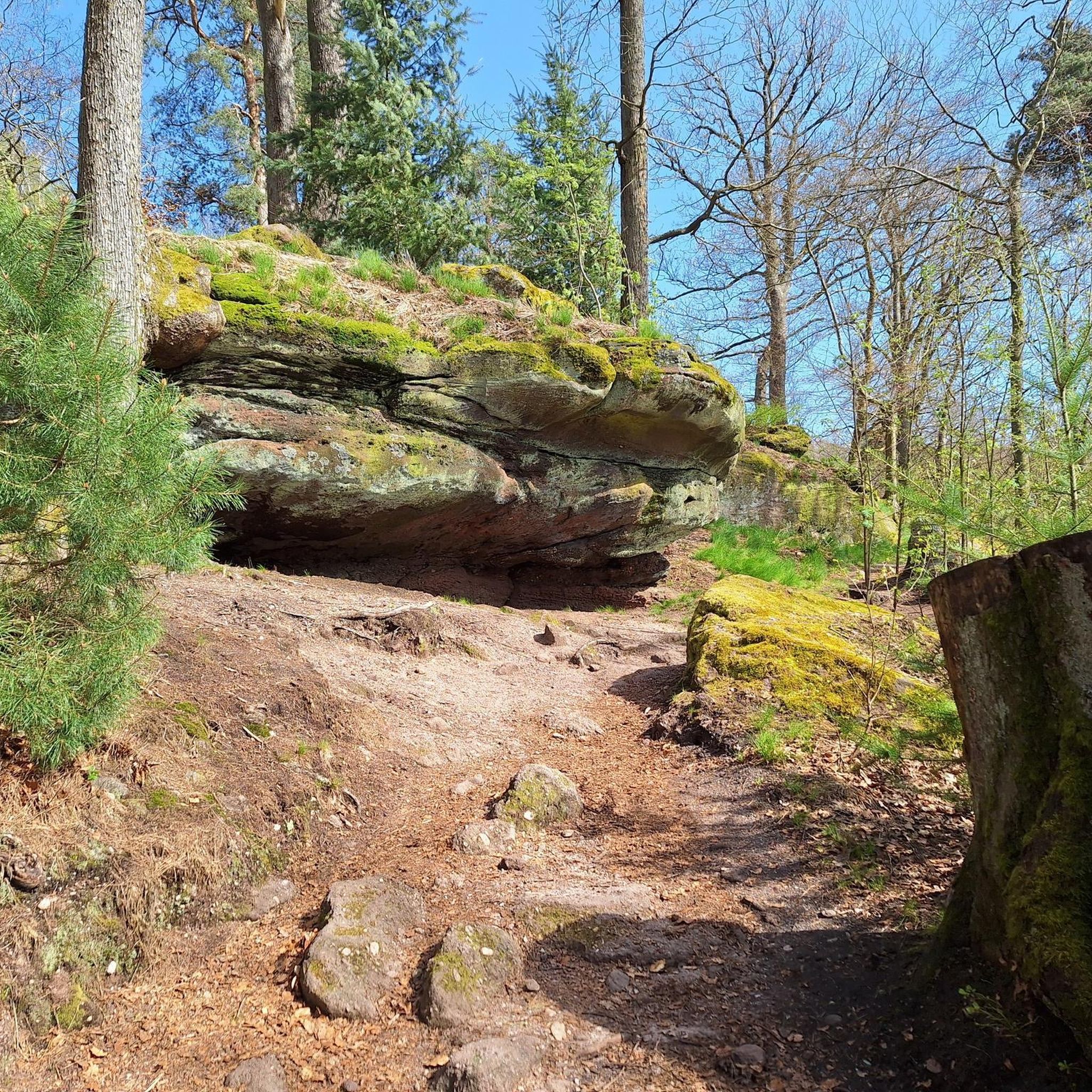
While cycling, you'll encounter the elevated plateau offering sweeping views. A notable spot is the 'Stonehenge of Fremont,' a rock formation area that serves as a great midpoint stop with views of Fremont. The Bay Area Ridge Trail also runs through the park, providing continuous scenic points.
What is a popular moderate touring cycling route in the park?
A popular moderate route is Palomares Road from Niles Canyon. This 9.8-mile trail features moderate ascents and descents and offers continuous scenic views throughout the ride.
Most popular routes in Vargas Plateau Regional Park

Get inspired with the komoot mobile app


Explore more
Browse the best Cycling routes in other regions.
