The best walks and hikes in Ohlone Regional Wilderness Preserve
4.7
(52)
694
hikers
53
hikes
If you've ever tried planning a hike in Ohlone Regional Wilderness Preserve, you know how quickly the options can feel overwhelming. With 53 routes to choose from, it's hard to tell which trails are genuinely worth the effort and which are just filler. You want to make the most of your time, not spend it guessing.
That's where we come in. Our komoot community has explored, mapped, and reviewed these routes, so we've done the legwork to bring you a…
Last updated: May 28, 2026
1
hikers
2.51km
00:40
0m
70m
The Camp Ohlone Road trail offers a delightful, easygoing journey through the Sunol Regional Wilderness, following the picturesque Alameda Creek. You'll experience a mix of paved asphalt and wider, uneven…
5
hikers
5.70km
01:47
230m
230m
The Vista Grande Road – Cave Rocks Road loop in Sunol Regional Wilderness delivers a rewarding experience with stunning panoramic views. You'll traverse wide dirt roads and some single-track, passing…

Sign up for free
2
hikers
4.80km
01:35
230m
240m
The Vista Grande and Eagle View Loop offers a delightful hiking experience, taking you on a continuous ascent to ridgetops with expansive views. You'll traverse natural, unpaved, and some paved…
4.8
(5)
28
hikers
18.0km
05:49
910m
530m
The Little Yosemite, McCorkle Trail, and Vista Grande Overlook Loop offers a truly immersive experience in the Sunol Regional Wilderness, guiding you through oak-studded canyons and over rolling hills. You'll…
4.7
(3)
17
hikers
7.43km
02:22
300m
310m
The Indian Joe, Cave Rocks, High Valley, and Flag Hill Loop offers a dynamic hiking experience through the Sunol Regional Wilderness, blending shaded creek beds with exposed ridgelines. You'll traverse…
Get access to more routes and recommendations from other explorers.
Sign up for free
Already have an account?
Our route recommendations are based on thousands of hikes, rides, and runs completed by other people on komoot.
Start today with a free account
Your next adventure awaits.
Login or Signup
Popular around Ohlone Regional Wilderness Preserve
Tips from the Community

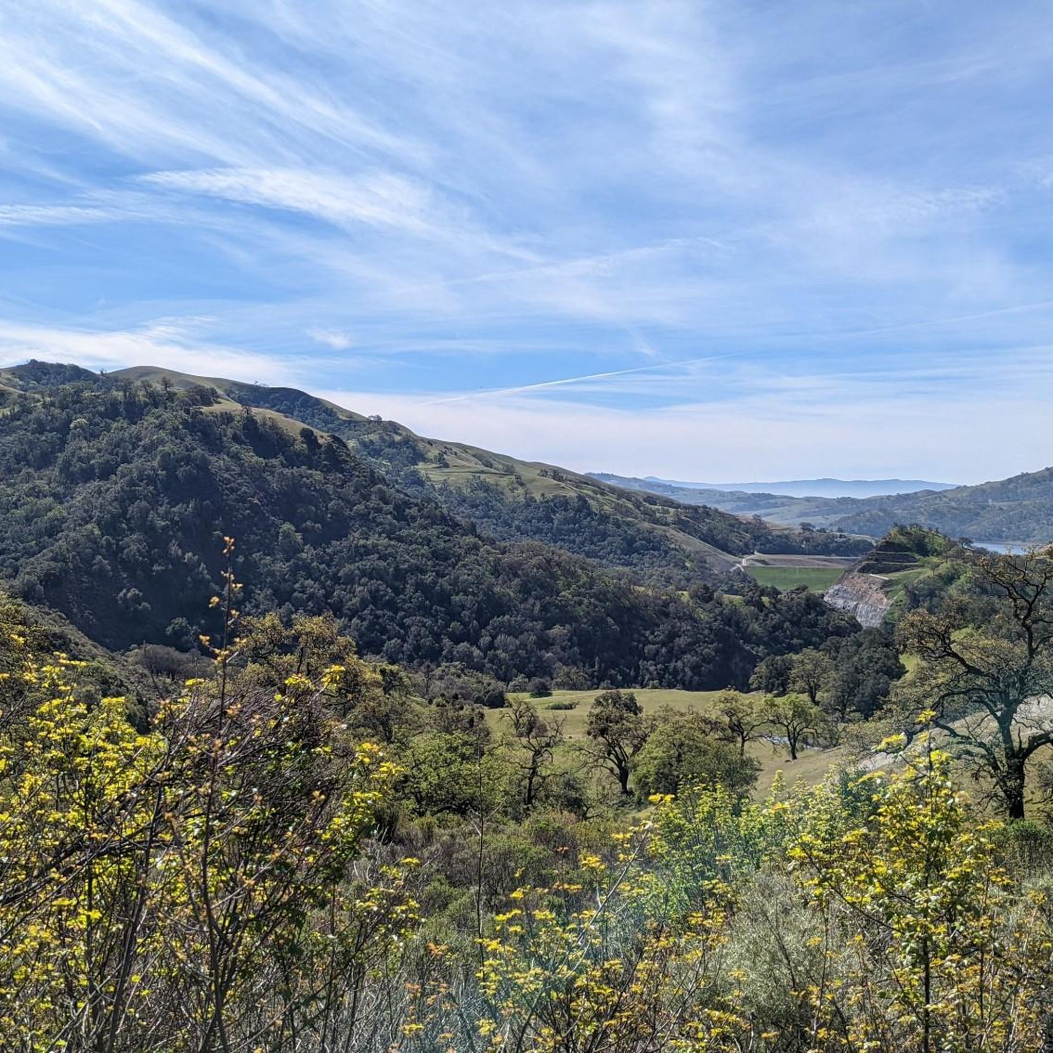
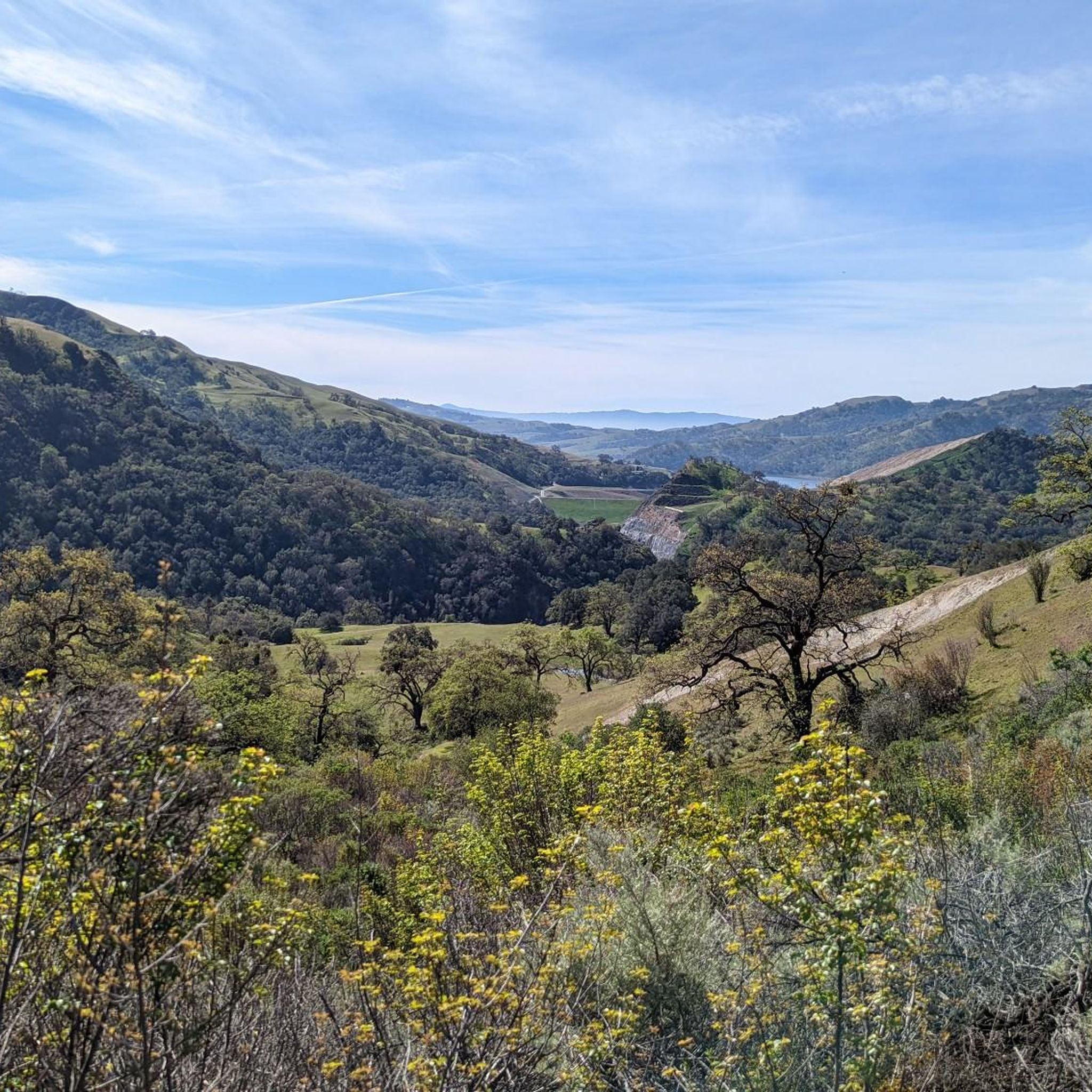
From this viewpoint, you can enjoy stunning views of rolling hills and valleys. If you come here in the spring, and more specifically late May, you will be able to bask in the full bloom of the wildflowers in the area.
0
0

This park is considered to be a mini Yosemite with creeks, boulders and sometimes waterfalls. It costs $5 to get access the site and if you go during peak times, it is normally fairly busy.
0
0

As soon as you get to the junction where you arrive at this trail, you'll be at one of the most scenic spots of Sunol Regional Wilderness park. Conveniently, you'll find a bench positioned right there, which might entice you to spend extra time taking it in. Not only is this spot scenic, but the one mile you'll be covering on your way down this trail is probably the cutest stretch of trail on this hike, because the trail precisely follows the spine of this knife's-edge ridgetop all the way to its end.
0
0
The hike on Cave Rocks Road offers great views of High Valley, a small green meadow surrounded by hills. An old barn and some campground buildings sit in the meadow, looking like something out of a movie filmed in the Swiss Alps.
0
0
The Big Live Oaks are an iconic feature of this hike. You can spot these majestic Live Oak trees throughout the hike. Pause and seek refuge from the sun beneath these majestic trees. As you do, reflect on their age, ranging from hundreds of years old to over a thousand, serving as living witnesses to the region's history and ecological changes.
0
0
This natural oasis is the perfect stop if you're willing to pay the $5 entrance fee (cash only). Here you will find lots of small to moderate waterfalls, making the hike around the area not only visually stunning but also very relaxing as the sounds coming from the waterfalls can be heard from every direction.
0
0
From this viewpoint you can enjoy stunning views of rolling hills and valleys. If you come here in the spring, and more specifically late May, you will be able to bask in the full bloom of the wildflowers in the area.
0
0
Frequently Asked Questions
How many hiking trails are available in Ohlone Regional Wilderness Preserve?
Ohlone Regional Wilderness Preserve offers over 50 hiking routes. These range from easy loops to challenging multi-day treks, catering to various experience levels. The komoot community has rated these trails highly, with an average score of 4.8 stars.
Are there any easy, family-friendly hiking trails in Ohlone Regional Wilderness Preserve?
Yes, there are several easier options suitable for families. For instance, the Camp Ohlone Road is an easy route. Another great choice is the Vista Grande Road – Cave Rocks Road loop from Sunol Regional Wilderness, which is 3.5 miles long and offers pleasant views.
What are the best times of year to hike in Ohlone Regional Wilderness Preserve?
The best times to visit are during winter, especially after rains when the hills are lush and green, and in March-April when wildflowers are in full bloom. These periods offer cooler temperatures and vibrant scenery. Summers can be very hot and dry, making early mornings or late afternoons preferable if hiking during this season.
Are dogs allowed on the trails in Ohlone Regional Wilderness Preserve?
Yes, dogs are generally permitted in Ohlone Regional Wilderness Preserve, but they must be kept on a leash at all times. It's always a good idea to check the specific rules and regulations for individual trails or areas within the preserve before you go, as policies can vary.
Are there any waterfalls in Ohlone Regional Wilderness Preserve?
Yes, Murietta Falls is a notable feature within the preserve. It flows beautifully after significant rainfall, offering a refreshing sight. During drier periods, it may only be a trickle, so plan your visit accordingly if seeing the waterfall is a priority.
What kind of views can I expect on the trails?
Ohlone Regional Wilderness Preserve offers breathtaking panoramic views from its prominent peaks. From Rose Peak (3,817 feet) and Discovery Peak (3,837 feet), you can enjoy 360-degree vistas of hidden valleys, rolling ridges, and the scrubby landscapes of the central Diablo Range. Mission Peak also provides expansive views.
Are there any challenging long-distance hikes in the preserve?
Absolutely. The Ohlone Wilderness Trail, a 28 to 29-mile route, is the centerpiece of the preserve and is known for its significant elevation changes, often compared to backpacking in the Sierras. It can be tackled over two or three days. For a challenging day hike, consider the Little Yosemite, McCorkle Trail, and Vista Grande Overlook Loop, which is 11.2 miles long with substantial elevation gain.
Do I need a permit to hike in Ohlone Regional Wilderness Preserve?
Yes, a permit is required for day use and camping on the Ohlone Wilderness Trail. It's essential to obtain this permit in advance to ensure compliance with preserve regulations. For detailed information on how to acquire a permit, you can visit the East Bay Regional Park District website.
What are the parking options for accessing the trails?
Access points to Ohlone Regional Wilderness Preserve, such as Del Valle Regional Park and Sunol Regional Wilderness, typically offer designated parking areas. These often require a parking fee. It's advisable to check the specific park entrance you plan to use for current parking information and fees.
Is public transport available to reach Ohlone Regional Wilderness Preserve?
Public transport options directly to the preserve are limited due to its wilderness nature. Access is primarily by car, often through entry points like Del Valle Regional Park or Sunol Regional Wilderness. Planning for private transportation is generally recommended.
What kind of wildlife might I encounter while hiking?
The preserve is a vital corridor for diverse wildlife. You might spot golden eagles, foxes, bobcats, and coyotes. Mountain lions and endangered bald eagles are also present, though less commonly seen. Hikers may also observe cows grazing in certain areas, contributing to the pastoral landscape.
Are there any loop hikes available?
Yes, the preserve offers several loop hikes. An example is the Little Yosemite via McCorkle Trail & Camp Ohlone loop, a moderate 6.1-mile path that explores varied terrain. Another option is the Vista Grande and Eagle View Loop, which is an easy 3-mile route.
What do other hikers enjoy most about hiking here?
The komoot community highly rates the trails in Ohlone Regional Wilderness Preserve, with an average score of 4.8 stars. Hikers frequently praise the challenging terrain, the diverse landscapes ranging from oak woodlands to rolling hills, and the stunning panoramic views from peaks like Rose Peak. The sense of wilderness and solitude is also a common highlight.
Most popular routes in Ohlone Regional Wilderness Preserve

Get inspired with the komoot mobile app


Explore more
Browse the best Hikes in other regions.
