The best road cycling routes in Chesbro Reservoir County Park
4.7
(12)
1,190
riders
45
rides
Road cycling routes in Chesbro Reservoir County Park traverse the foothills of the Santa Cruz Mountains, offering diverse terrain and elevation gains. The region features a rural setting with views of Chesbro Reservoir and the nearby Uvas Reservoir. These routes are primarily on paved surfaces, providing a natural backdrop for rides that range from moderate to more demanding. The landscape includes rolling hills and natural features like serpentinite outcrops.
Best road cycling routes in Chesbro Reservoir County Park
- The most…
Last updated: July 16, 2026
20
riders
Moderate road ride. Great for any fitness level. Some segments of this route may be unpaved and difficult to ride.
65
riders
42.1km
02:31
1,020m
1,020m
Hard road ride. Very good fitness required. Mostly well-paved surfaces and easy to ride.

Sign up for free
4.0
(2)
119
riders
34.7km
01:34
360m
360m
Moderate road ride. Good fitness required. Mostly well-paved surfaces and easy to ride.
96
riders
93.2km
04:00
760m
760m
Moderate road ride. Good fitness required. Mostly well-paved surfaces and easy to ride.
64
riders
Moderate road ride. Good fitness required. Mostly well-paved surfaces and easy to ride.
Get access to more routes and recommendations from other explorers.
Sign up for free
Already have an account?
Our route recommendations are based on thousands of hikes, rides, and runs completed by other people on komoot.
Start today with a free account
Your next adventure awaits.
Login or Signup
Popular around Chesbro Reservoir County Park

Tips from the Community

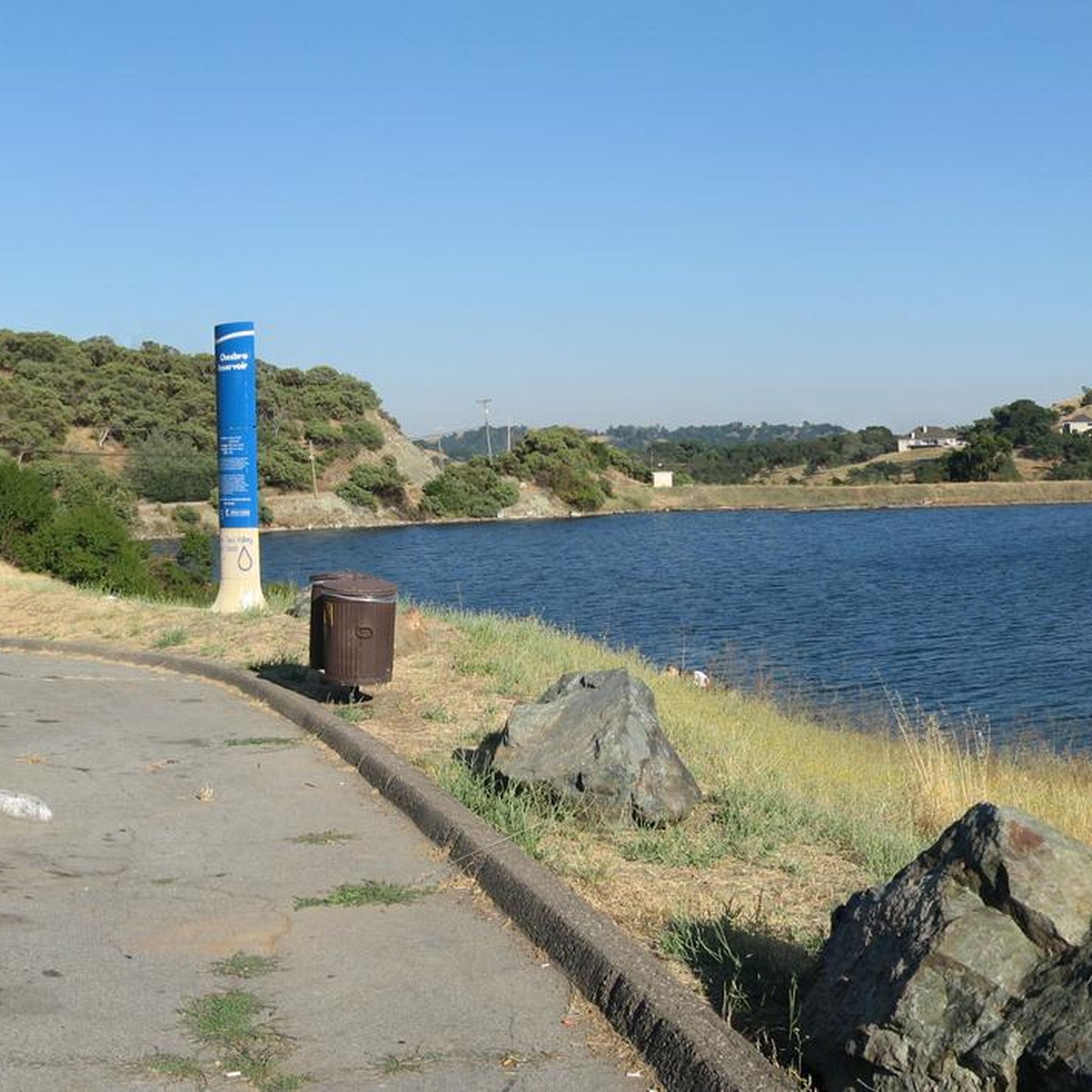
Chesbro Reservoir County Park is a 232-acre park that surrounds Chesbro Reservoir and is known for catch-and-release fishing. There is no swimming or boating allowed in the lake.
0
0
Chesbro Reservoir County Park is a 232-acre park that surrounds Chesbro Reservoir and is known for catch-and-release fishing. There is no swimming or boating allowed in the lake.
0
0

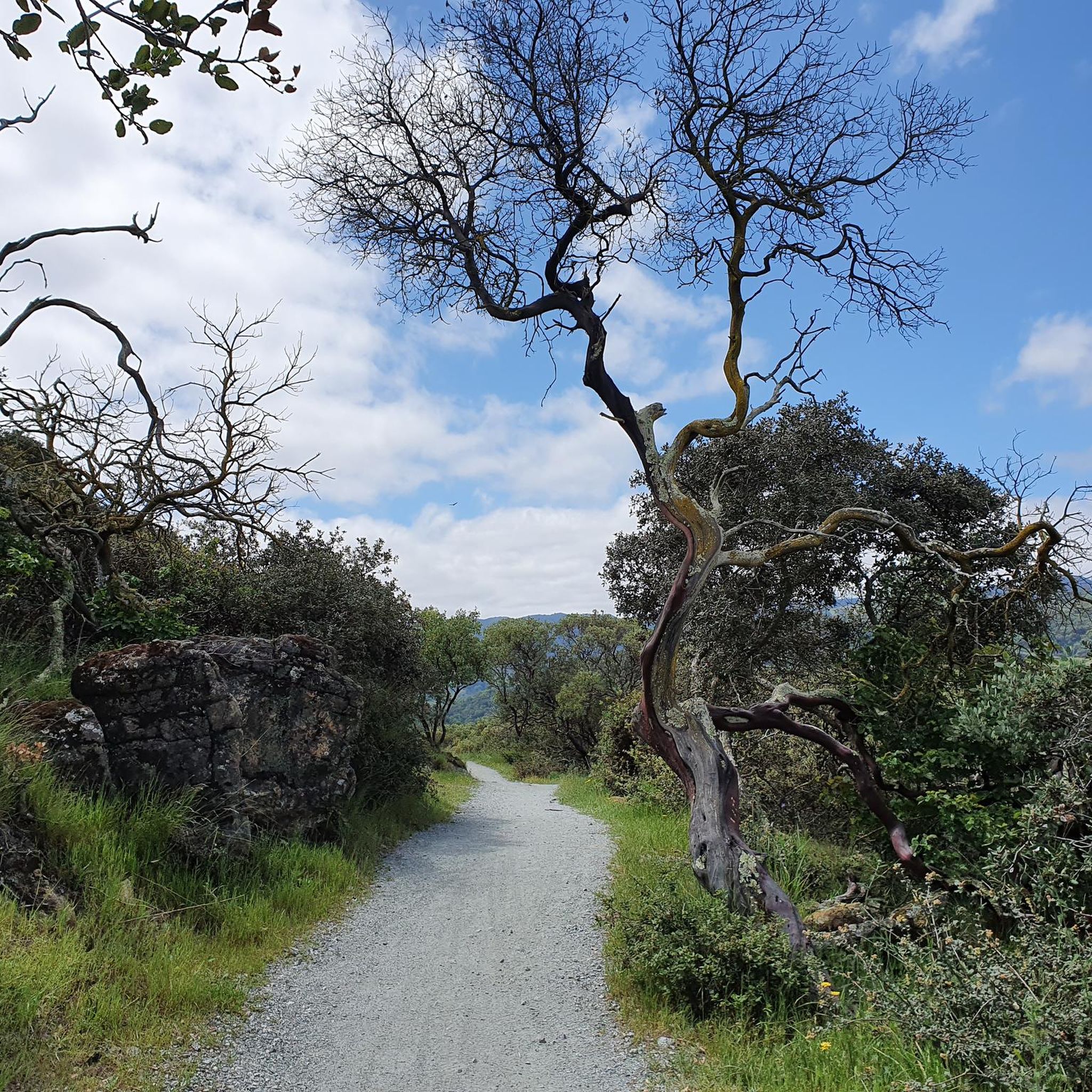
The Coyote Creek Trail, also called the Bay Area Ridge Trail, is a stunningly paved multi-use path that slowly transitions to gravel. The trail winds in between a number of ponds and has a little more shade at the turnaround loop.
0
0
The 21-Mile House, at 21-Mile Park, was a tavern and stagecoach rest stop located 21 miles away from San Jose. The house was constructed in 1852 (although no longer here today) and was crucial for providing refreshments to horses and their riders. Today there is a bronze plaque to commemorate the site.
0
0
Rancho San Vicente Open Space Trailhead is a nice place to take a break on a run and use the restroom or enjoy the views of nature. There are plenty of trails that you could extend your run onto in the area with most of them being well marked and pretty smooth.
0
0
The 21-Mile House, at 21-Mile Park, was a tavern and stagecoach rest stop located 21 miles away from San Jose. The house was constructed in 1852 (although no longer here today) and was crucial for providing refreshments to horses and their riders. Today there is a bronze plaque to commemorate the site.
0
0
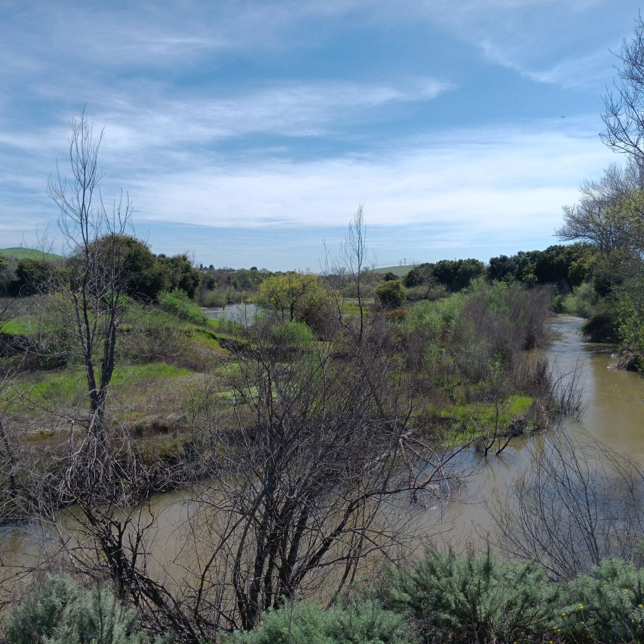
West Little Llagas Creek Trail is a nicely paved multi use path with benches and parks along the way. This is a great option to stay off the main roads and follow along a creek.
0
0

Dammed in 1965 Chesbro Reservoir is used for water management and recreation. The lake and surrounding area is managed as Chesbro Reservoir County Park. The road along the northern shore is a nice ride.
0
0
Frequently Asked Questions
How many road cycling routes are available in Chesbro Reservoir County Park?
There are over 40 road cycling routes in and around Chesbro Reservoir County Park. These routes offer a diverse range of experiences, from easy loops to more challenging climbs through the foothills of the Santa Cruz Mountains.
What kind of terrain can I expect on road cycling routes around Chesbro Reservoir?
The routes primarily feature mostly paved surfaces, making them ideal for road cyclists. You'll encounter varying elevation gains as you ride through the rolling foothills of the Santa Cruz Mountains, often with scenic views of Chesbro Reservoir and the surrounding rural landscape.
Are there easy road cycling routes suitable for beginners or families?
Yes, Chesbro Reservoir County Park offers several easy routes. For instance, the Chesbro Reservoir County Park loop from Morgan Hill is an easy 8.8-mile path that provides beautiful reservoir views and is suitable for all skill levels. There are 19 easy routes in total.
What are some challenging road cycling routes for experienced riders?
For experienced riders seeking a challenge, routes like Henry Coe State Park on East Dunne Avenue from Morgan Hill offer significant elevation gain over 26.2 miles, leading through the foothills. There are 5 difficult routes available for those looking for a demanding ride.
Are there any loop routes that allow me to start and end in the same location?
Yes, many routes in the area are designed as loops. A popular option is the Coyote Creek Trail – Ogier Ponds Bike Path loop from Davidson Ranch Reserve, which is a moderate 11.5-mile trail. Another great loop is the View of Chesbro Reservoir – Uvas Reservoir loop from Morgan Hill, offering views of both reservoirs.
What are the best times of year for road cycling in Chesbro Reservoir County Park?
The rural setting and varied terrain make the area enjoyable for road cycling throughout much of the year. Spring and fall generally offer pleasant temperatures, while summer mornings can also be ideal before the heat sets in. Winter rides are possible, but it's always wise to check local weather conditions.
What scenic viewpoints or natural features can I expect to see along the routes?
The primary scenic features are the tranquil waters of Chesbro Reservoir itself, often combined with views of nearby Uvas Reservoir. The routes also wind through the picturesque foothills of the Santa Cruz Mountains, offering a natural and rural backdrop for your ride.
Where can I find parking for road cycling in the area?
While the park itself is a hub for cycling, specific parking information for trailheads is best found by checking individual route details on komoot. Many routes originate from nearby towns like Morgan Hill, which offer various parking options.
Are there cafes or restaurants near the cycling routes?
Chesbro Reservoir County Park is conveniently located just minutes from Morgan Hill and Gilroy. These towns offer a variety of amenities, including cafes, restaurants, and accommodation options, where you can refuel before or after your ride.
What do other road cyclists enjoy most about cycling in Chesbro Reservoir County Park?
The area is highly rated by the komoot community, with an average score of 4.8 stars from over 18 reviews. Cyclists often praise the diverse terrain, the beautiful reservoir views, and the peaceful rural roads that provide an excellent escape for road biking.
Is public transport available to access the cycling routes?
While the park offers a rural escape, it's generally most accessible by car, especially for cyclists bringing their own bikes. Public transport options directly to the park entrance may be limited, so planning your route start point from nearby towns like Morgan Hill, which might have better transit connections, is advisable.
Are there any permits required for road cycling in Chesbro Reservoir County Park?
Generally, no specific permits are required for road cycling on the public roads and designated bike paths around Chesbro Reservoir County Park. However, it's always a good practice to check for any local regulations or specific park rules if you plan to venture into other areas.
Most popular routes in Chesbro Reservoir County Park

Get inspired with the komoot mobile app


Explore more
Browse the best Road cycling routes in other regions.
