The best cycling routes in Uvas Canyon County Park
4.0
(2)
35
riders
4
rides
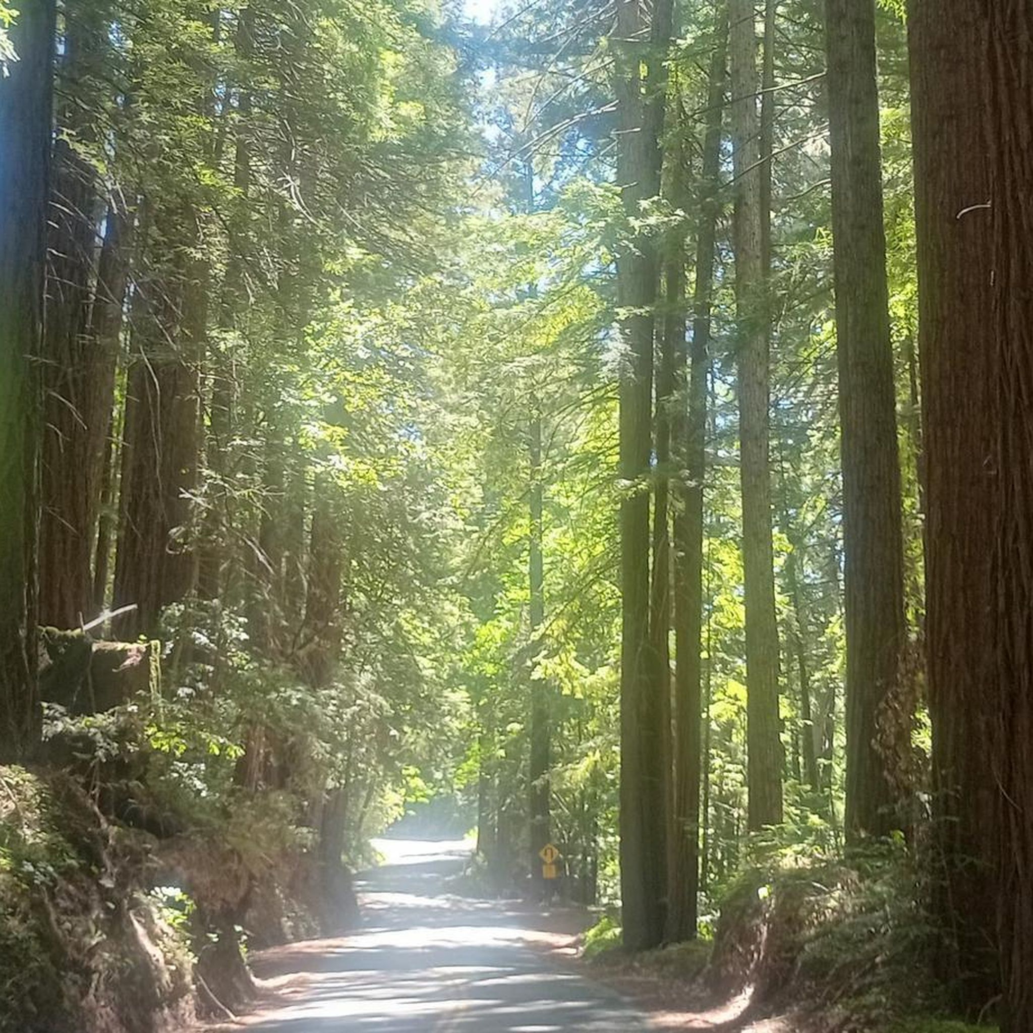
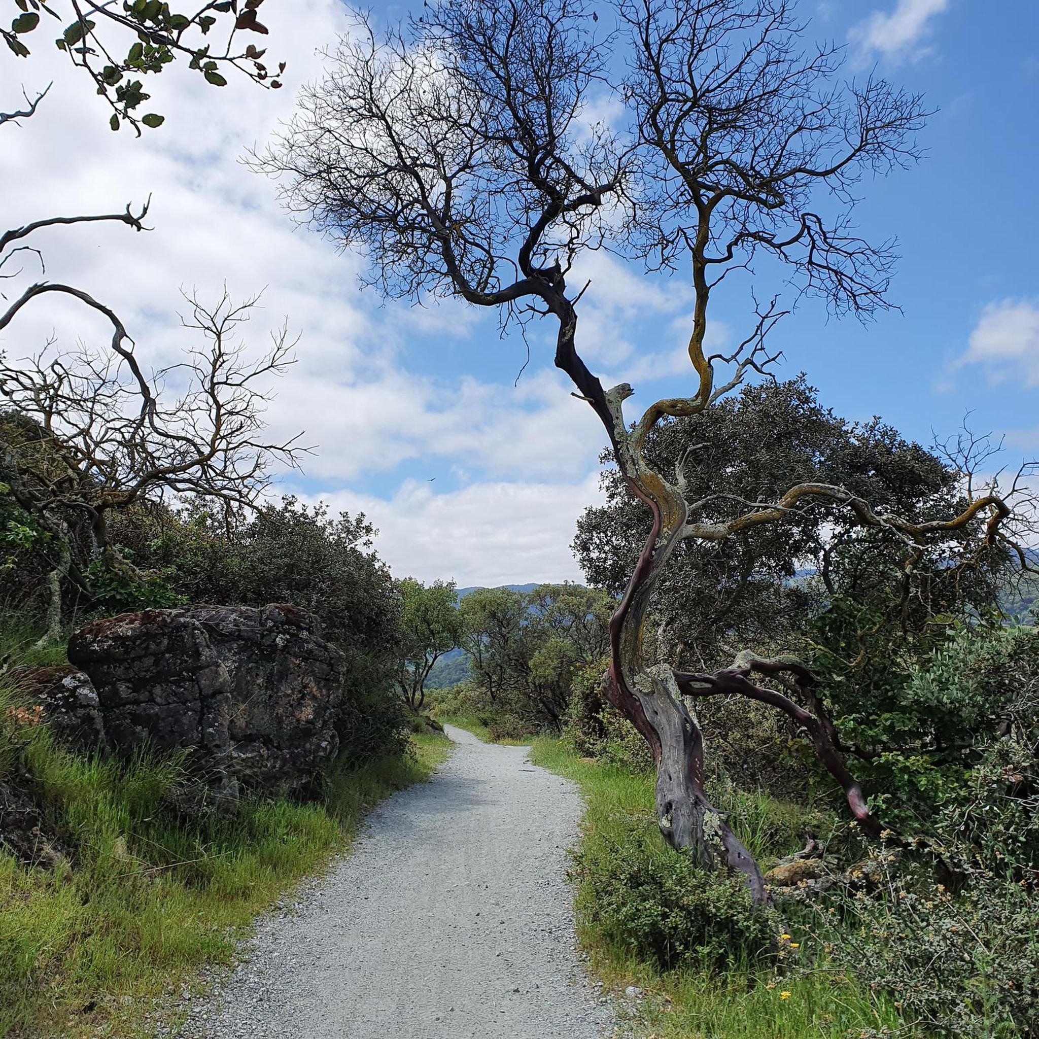
Touring cycling in Uvas Canyon County Park and its surrounding area offers routes through a lushly wooded environment within the eastern Santa Cruz Mountains. The region features varied terrain, including mixed evergreen forests and dense shrubland, with opportunities for elevation gains. While the park's internal trails are not open to bicycles, the broader area around the park and the nearby Uvas Reservoir provides road cycling routes.
Best touring cycling routes in Uvas Canyon County Park
- The most popular touring cycling…
Last updated: June 5, 2026
3.0
(1)
12
riders
12.9km
01:31
440m
440m
Moderate bike ride. Good fitness required. Mostly paved surfaces. Suitable for all skill levels.
5.0
(1)
11
riders
Hard bike ride. Very good fitness required. Mostly paved surfaces. Suitable for all skill levels.

Sign up for free
4
riders
Moderate bike ride. Good fitness required. Mostly paved surfaces. Suitable for all skill levels.
7
riders
25.8km
01:35
240m
240m
Moderate bike ride. Good fitness required. Mostly paved surfaces. Suitable for all skill levels.
Our route recommendations are based on thousands of hikes, rides, and runs completed by other people on komoot.
Start today with a free account
Your next adventure awaits.
Login or Signup

Tips from the Community

Bald Peak provides great views of Santa Clara Valley, the Diablo Range, and the Santa Cruz Mountains. Hikers and mountain bikers can access the peak via trails like Hidden Springs and Coyote Peak, which offer moderate to steep climbs. Early mornings or late afternoons are best for enjoying cooler temperatures in hot summer months. The trails are well-maintained and scenic.
0
0

Chesbro Reservoir County Park is a 232-acre park that surrounds Chesbro Reservoir and is known for catch-and-release fishing. There is no swimming or boating allowed in the lake.
0
0
Chesbro Reservoir County Park is a 232-acre park that surrounds Chesbro Reservoir and is known for catch-and-release fishing. There is no swimming or boating allowed in the lake.
0
0

Longwall Canyon Trail is a nicely marked trail that navigates through trees, fields, and has stunning views of the South Bay at points. The trail has a nice mix of terrain and scenery to keep things interesting.
1
0

Calero County Park is a huge park covering over 4,400 acres and featuring a huge lake. Calero Reservoir is definitely the pinnacle of the park, but there are a number of trails and paths that offer different views and pass through different natural ecosystems. Being such a big park, there are a bunch of different trailheads and park entrances that you can utilize.
1
0

Fossils of marine creatures like clams and oysters can be found in the sandstone of the peaks, hinting at a time when the area was submerged beneath the ocean. The hills around Bald Peaks are home to unique rock formations like chert and rhyolite, attracting hobbyists searching for colorful and interesting specimens.
1
0

From the high knoll you get a 360 degree view of all the South Bay. Wildflowers are abundant in the spring.
0
0

Uvas Creek was dammed in 1957 to create this reservoir, which is used to provide water for the residents and industry in the area. The reservoir and surrounding area form the Uvas Reservoir County Park.
0
0
Frequently Asked Questions
How many touring cycling routes are available in the Uvas Canyon County Park area?
There are 4 touring cycling routes available in the Uvas Canyon County Park area, offering a variety of experiences for cyclists.
What kind of terrain and landscapes can I expect on touring cycling routes around Uvas Canyon County Park?
The touring cycling routes in this area feature a lushly wooded environment within the eastern Santa Cruz Mountains. You can expect varied terrain, including mixed evergreen forests, dense shrubland, and rolling hills with notable elevation changes. Routes often provide scenic views around areas like the Uvas Reservoir.
What are the difficulty levels of touring cycling routes in this area?
The routes around Uvas Canyon County Park cater to different fitness levels. There are 3 moderate routes and 1 difficult route, offering options for both experienced cyclists and those looking for a more challenging ride with significant elevation gains.
Are bicycles permitted on all trails within Uvas Canyon County Park?
No, bicycles are not permitted on the hiking trails within Uvas Canyon County Park itself. However, the broader area around the park and the nearby Uvas Reservoir offers a variety of road cycling routes suitable for touring.
Can I see waterfalls while touring cycling near Uvas Canyon County Park?
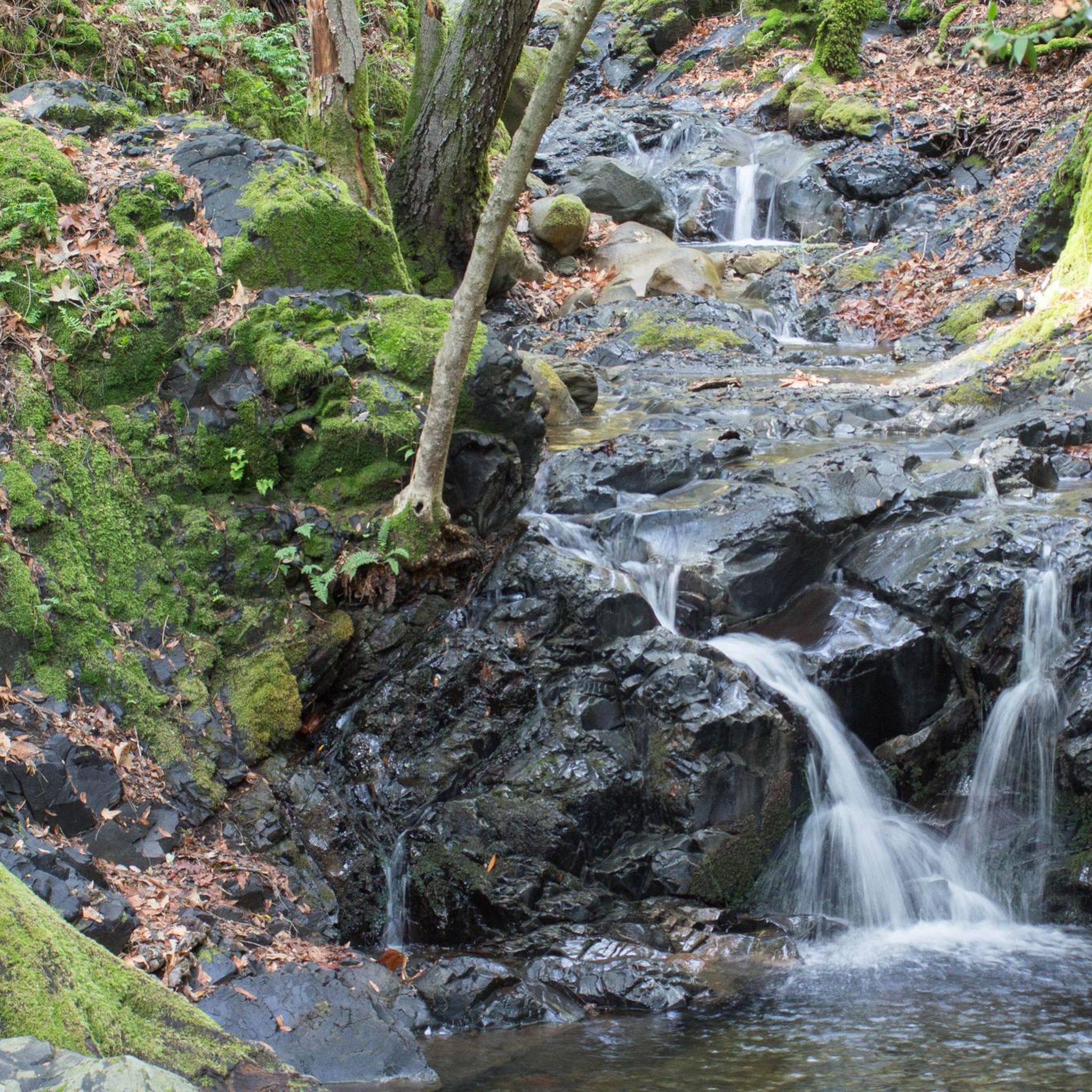
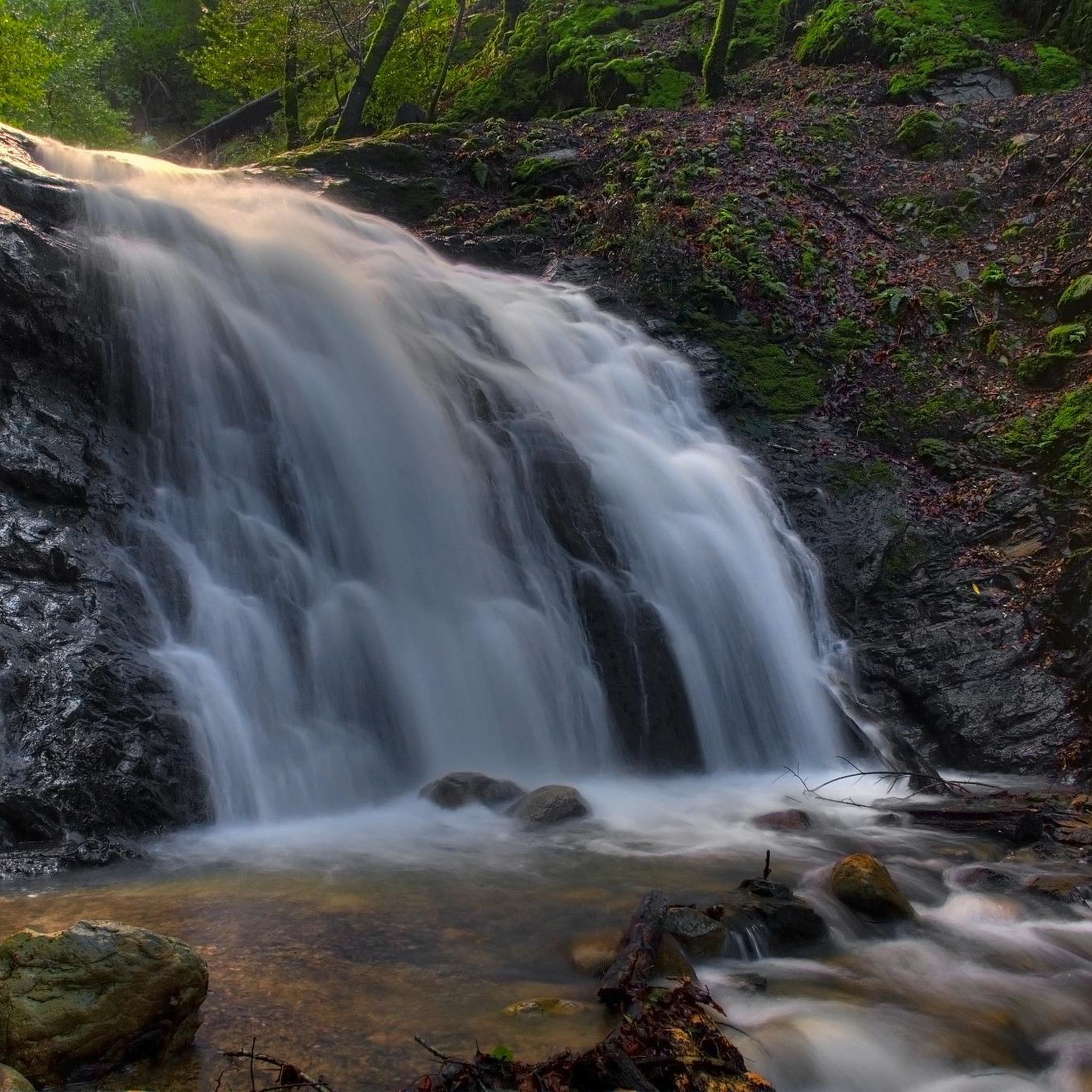
While the park's internal trails, where the prominent waterfalls like Black Rock Falls and Triple Falls are located, are not open to bicycles, the surrounding touring cycling routes offer scenic views of the natural landscape. You would need to park your bike and explore the park's hiking trails on foot to experience the waterfalls directly.
Are there any circular touring cycling routes recommended in the Uvas Canyon County Park area?
Yes, several routes are designed as loops. For example, the Bald Peaks Loop is an 8.0-mile route with moderate elevation changes, and the Chesbro Reservoir – Chesbro Reservoir County Park loop offers scenic views over 23.5 miles.
What is the average rating for touring cycling routes in Uvas Canyon County Park?
The touring cycling routes in the Uvas Canyon County Park area are highly rated by the komoot community, with an average score of 4.0 stars. Cyclists often appreciate the lushly wooded environments and varied terrain.
Is there parking available for touring cyclists visiting the Uvas Canyon County Park area?
Yes, the Uvas Canyon County Park entrance itself can serve as a starting or ending point for rides, and facilities like restrooms are available there. Parking is generally available in the vicinity for those accessing the broader cycling routes.
Are there any family-friendly touring cycling routes in the Uvas Canyon County Park area?
While specific 'easy' routes are not highlighted, the area offers routes of varying difficulty. The Bald Peaks Loop is a moderate 8.0-mile route that could be suitable for families with some cycling experience, featuring moderate elevation changes through wooded areas.
What is a good route for a moderate touring cycling experience with scenic views?
For a moderate touring cycling experience with scenic views, consider the Chesbro Reservoir – Chesbro Reservoir County Park loop from Rancho Cañada del Oro Open Space Preserve Entrance. This 23.5-mile path offers beautiful views around the reservoir and through rolling terrain.
What is a challenging touring cycling route in the Uvas Canyon County Park area?
If you're looking for a more challenging ride with significant elevation gain, the Bald Peaks Viewpoint – Bald Peaks Viewpoint loop from Rancho Cañada del Oro Open Space Preserve Entrance is a difficult 15.6-mile trail that takes about 2 hours 53 minutes to complete.
What is the best time of year to go touring cycling in the Uvas Canyon County Park area?
The region experiences cool, wet winters and warm, dry summers. While the waterfalls within the park are most impressive after winter and spring rains, the surrounding road cycling routes can be enjoyed during the drier months for more comfortable conditions. Always check local weather before heading out.
Most popular routes in Uvas Canyon County Park

Get inspired with the komoot mobile app


Explore more
Browse the best Cycling routes in other regions.
