The best road cycling routes in Thomas F. Riley Wilderness Park
4.8
(30)
781
riders
42
rides
Road cycling in Thomas F. Riley Wilderness Park offers a diverse landscape for riders. The region features a mix of coastal routes, creek-side paths, and loops around local lakes, providing varied terrain. Riders can expect paved surfaces suitable for road bikes, with some routes incorporating gentle climbs and descents. The park's surroundings in Orange County include natural areas alongside developed sections, creating a blend of scenic and accessible cycling experiences.
Best road cycling routes in Thomas F. Riley Wilderness Park
…Last updated: July 8, 2026
10
riders
37.3km
01:46
480m
480m
Moderate road ride. Good fitness required. Mostly well-paved surfaces and easy to ride.
4.3
(3)
11
riders
21.3km
00:59
220m
220m
Easy road ride. Great for any fitness level. Mostly well-paved surfaces and easy to ride.

Sign up for free
5.0
(2)
18
riders
38.5km
01:52
530m
540m
Embark on a moderate road cycling adventure along the San Juan Creek Trail and Coastal Loop, covering 23.9 miles (38.5 km) with an elevation gain of 1753 feet (534 metres).…
4
riders
14.7km
00:43
220m
220m
Easy road ride. Great for any fitness level. Mostly well-paved surfaces and easy to ride.
5.0
(1)
82
riders
46.7km
02:20
390m
390m
Moderate road ride. Good fitness required. Mostly well-paved surfaces and easy to ride.
Get access to more routes and recommendations from other explorers.
Sign up for free
Already have an account?
Our route recommendations are based on thousands of hikes, rides, and runs completed by other people on komoot.
Start today with a free account
Your next adventure awaits.
Login or Signup

Tips from the Community

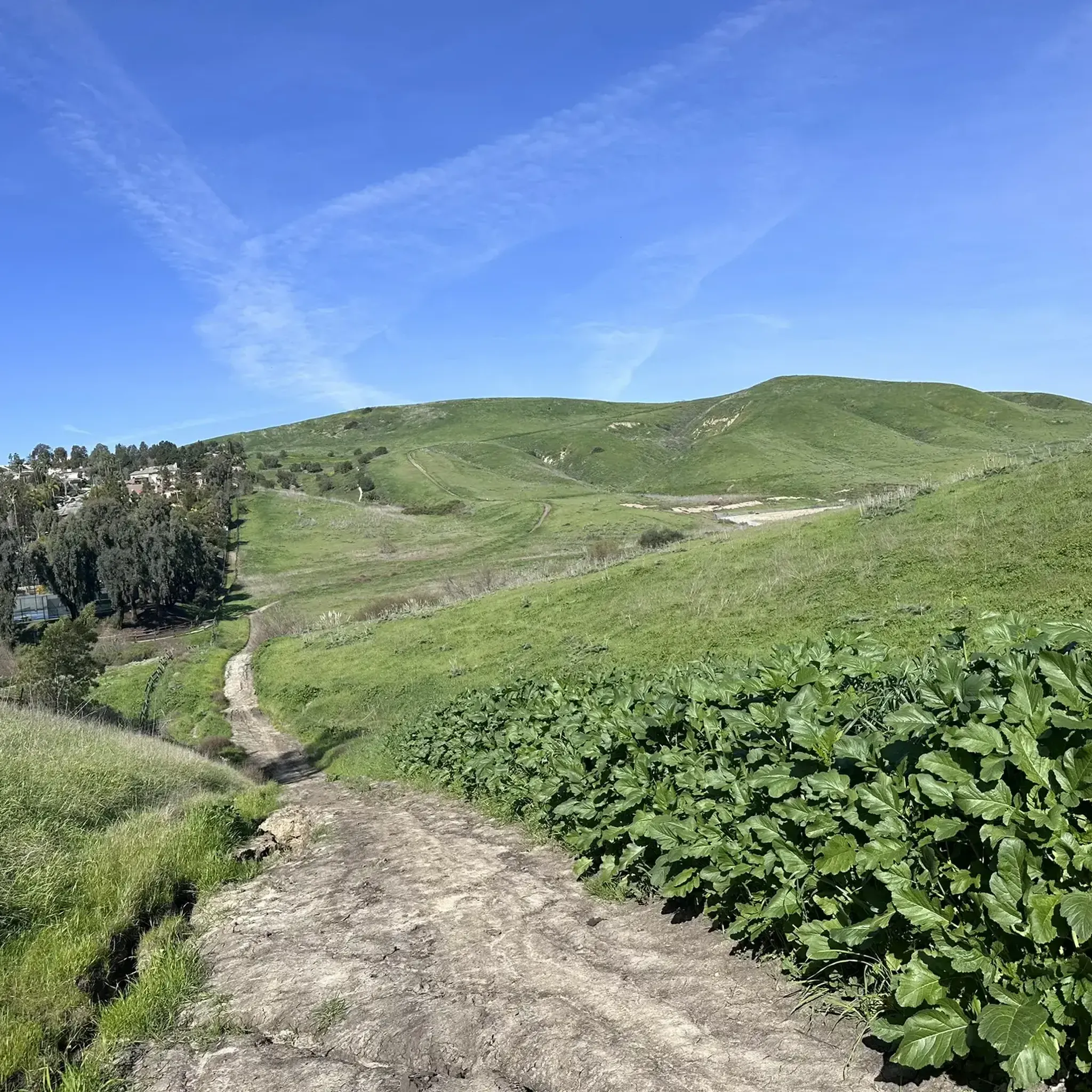
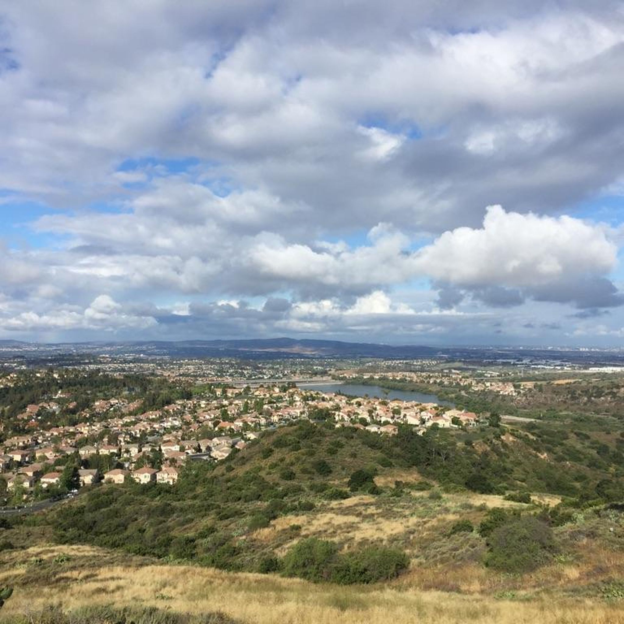
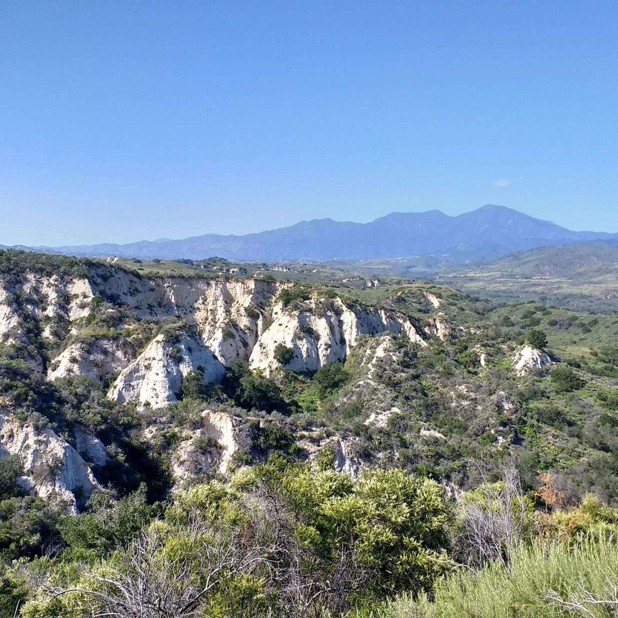
You can explore a variety of singletrack and wide gravel paths through the park. Some trails are shaded while others take you out above the canyon with vistas of Orange County. There are restrooms, picnic tables, and camping available. The park charges a $3 fee.
0
0

Overlooking picturesque Dana Point Harbor, Lantern Bay Park offers expansive green space with plenty of pine trees for shade, perfect for a relaxing outdoor escape. With amenities including a playground, bocce ball court, and public restrooms, the sprawling park also hosts a donation-based morning yoga class, daily at 10am.
0
0
The Trabuco Creek Trail converges with the San Juan Creek Trail at Descanso Park and crosses to the west side of the river via a bridge. All of the creek trails are two lane paved paths.
0
0
Spot turtles sunbathing and herons fishing along the shore as you walk past the vibrant playground of this peaceful community park in Mission Viejo.
0
0
Enjoy spectacular city and mountain views while exploring Lake Mission Viejo's scenic 3-mile paved trail. Spot local wildlife like herons and turtles along the shimmering waters of Lake Mission Viejo.
0
0
There is a good network of wide gravel and packed dirt trails that run along Trabuco Creek west of Ladera Ranch. There are many places where you can cross the creek to access the trails in the arroyos on the other side.
0
0

The San Juan Creek Trail is about 6 miles long and runs from Doheny State Beach, at scenic Dana Point, to its confluence with Trabuco Creek at Descanso Park in San Juan Capistrano. The path parallels the San Juan Creek River on the levee of its western bank. The trail is flat and paved, making it ideal for walking, running and cycling.
0
0
Spanning wider than the other beaches in San Clemente, North Beach boasts plenty of amenities like picnic tables, fire rings, swings, and volleyball courts. This northern point connects to the scenic San Clemente Coastal Trail, inviting walkers, runners, and bikers to embark on an adventure along the coast down to Calafia Beach.
0
0
Frequently Asked Questions
What are the difficulty levels of road cycling routes in Thomas F. Riley Wilderness Park?
Thomas F. Riley Wilderness Park offers a range of road cycling routes to suit various skill levels. You'll find 6 easy routes, 35 moderate routes, and 4 more challenging routes, ensuring options for beginners to experienced cyclists.
What is the typical length of road cycling routes in the park?
Route lengths vary significantly. For instance, the Lake Mission Viejo – Lake Mission Viejo loop from Mission Viejo is a shorter 9.1 miles (14.7 km) ride, while the Doheny State Beach – North Beach loop from Las Flores extends to 41.3 miles (66.4 km). Many routes fall within this range, offering both shorter and longer options.
How much time should I allocate for a road cycling trip in this area?
The duration depends on the route chosen and your pace. Shorter routes like the Lake Mission Viejo loop can be completed in under an hour, typically around 43 minutes. Longer rides, such as the Doheny State Beach – North Beach loop, may take nearly three hours, approximately 2 hours 56 minutes.
Are there family-friendly road cycling routes in Thomas F. Riley Wilderness Park?
Yes, there are several easy routes suitable for families. The park's diverse terrain includes creek-side paths and lake loops, which often provide flatter, more accessible options. For example, the Lake Mission Viejo – Lake Mission Viejo loop is an easy 9.1-mile ride that is popular for its gentle terrain.
What are the best seasons for road biking in Thomas F. Riley Wilderness Park?
Given its location in Orange County, Thomas F. Riley Wilderness Park generally offers pleasant road cycling conditions year-round. Spring and fall often provide the most comfortable temperatures, but mild winters and warm summers (especially along coastal routes with ocean breezes) also make for good riding. Always check local weather forecasts before heading out.
Are there any road cycling routes with significant elevation changes for advanced riders?
Yes, some routes feature more substantial climbs. For instance, the Aliso Creek Bikeway – Hicks Canyon Trail loop from Rancho Santa Margarita includes over 700 meters of elevation gain, making it a good option for advanced cyclists seeking a challenge.
What types of scenery can I expect along the road cycling routes?
The routes in Thomas F. Riley Wilderness Park offer a varied landscape. You can expect coastal paths with ocean views, dedicated creek-side trails, and loops around local lakes. Some routes also pass through suburban areas, blending natural scenery with developed sections of Orange County.
Are there any circular road cycling routes available?
Many of the popular road cycling routes in the area are loops. Examples include the Doheny State Beach – North Beach loop, the San Juan Creek Trail and Coastal Loop, and the Lake Mission Viejo – Lake Mission Viejo loop, all designed for a circular ride.
What do other road cyclists enjoy the most about road cycling in Thomas F. Riley Wilderness Park?
The area is highly rated by the komoot community, with an average score of 4.8 stars from over 20 reviews. Reviewers often praise the diverse terrain, which includes coastal paths, creek-side trails, and lake loops, offering a blend of scenic beauty and accessible cycling experiences.
Are there routes that combine creek trails with coastal sections?
Yes, the San Juan Creek Trail and Coastal Loop is a prime example. This moderate 23.9-mile (38.5 km) route seamlessly combines a dedicated creek trail with beautiful coastal sections, providing a mix of natural scenery and ocean vistas.
Can I find routes that explore both natural areas and developed sections?
Absolutely. The park's location in Orange County means many routes offer a blend of natural areas and developed sections. For instance, the Aliso Creek Bikeway – Santiago Canyon Road loop from Rancho Santa Margarita takes you through varied environments, showcasing both the wilderness and local communities.
Most popular routes in Thomas F. Riley Wilderness Park

Get inspired with the komoot mobile app


Explore more
Browse the best Road cycling routes in other regions.
