The best walks and hikes in Whiting Ranch Wilderness Park
4.5
(57)
533
hikers
58
hikes
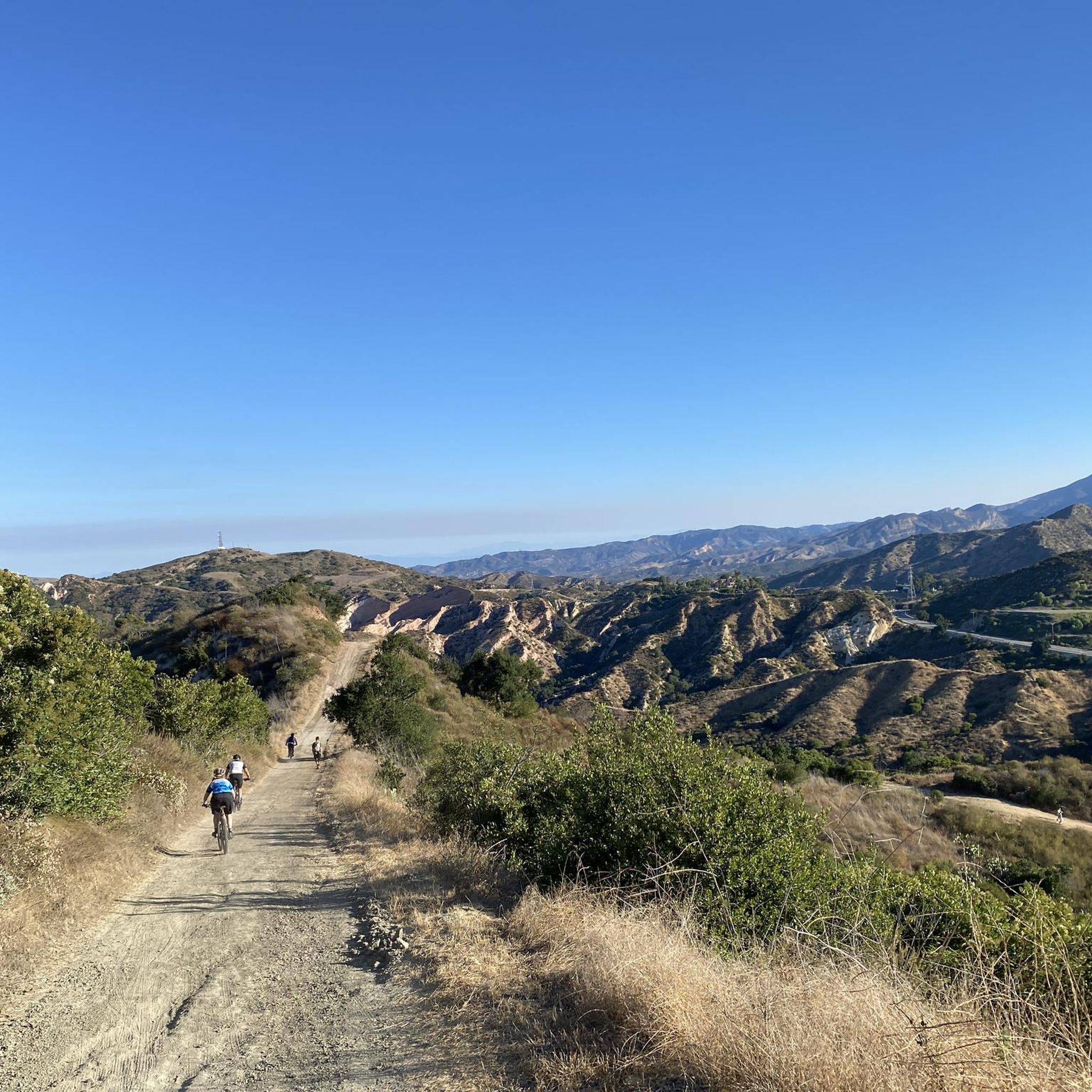
Hiking in Whiting Ranch Wilderness Park offers diverse landscapes across approximately 2,500 acres. The park features dramatic 100-foot sandstone cliffs and distinctive red-rock formations, alongside a network of canyons. Its terrain includes riparian and oak woodland canyons, rolling grassland hills, and steep slopes covered with coastal sage scrub. Three intermittent streams, Borrego, Serrano, and Aliso Creek, contribute to the park's ecological diversity.
Best hiking trails in Whiting Ranch Wilderness Park
- The most popular hiking route is Dreaded Hill and Billy Goat Trail Loop, a 5.9 miles (9.5 km) trail that takes 2 hours 50 minutes to complete. This route leads to prominent red sandstone formations and panoramic views.
- Another top favourite among local hikers is Borrego Canyon, Mustard Road, and Billy Goat Trail Loop, an easy 3.4 miles (5.5 km) path. This loop offers varied terrain through riparian environments and oak woodlands.
- Local hikers also love the Whiting Road to Billy Goat Loop Trail, a 2.8 miles (4.5 km) trail leading through varied landscapes, often completed in about 1 hour 25 minutes.
- Hiking in Whiting Ranch Wilderness Park is defined by dramatic sandstone cliffs, red-rock formations, and diverse canyon and hill landscapes. The extensive trail network offers options for various ability levels, from gentle paths to more challenging routes.
- The routes in Whiting Ranch Wilderness Park are highly rated by the komoot community with an average score of 4.7 stars from over 55 reviews. More than 400 hikers have used komoot to explore Whiting Ranch Wilderness Park's varied terrain.
Last updated: October 11, 2026
5.0
(5)
26
hikers
9.45km
02:51
310m
270m
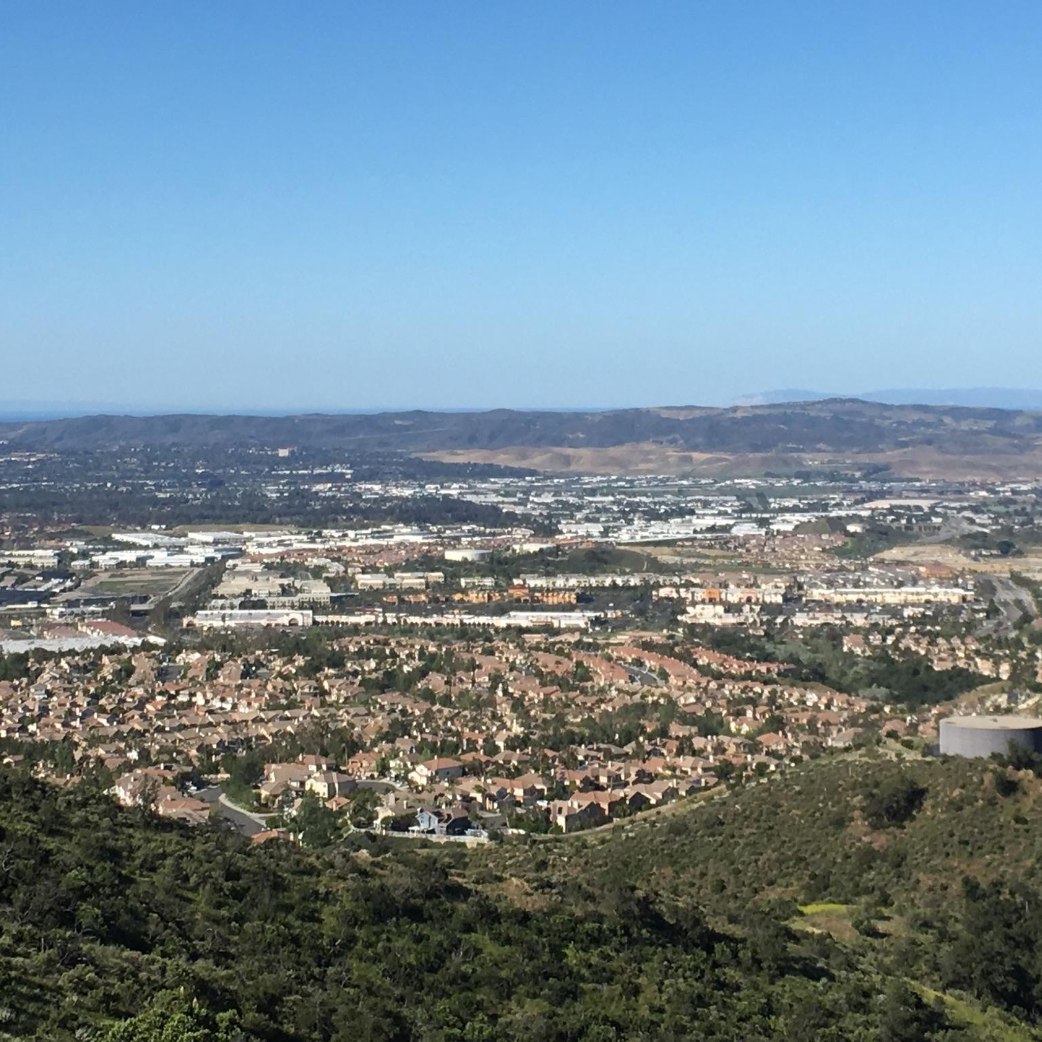
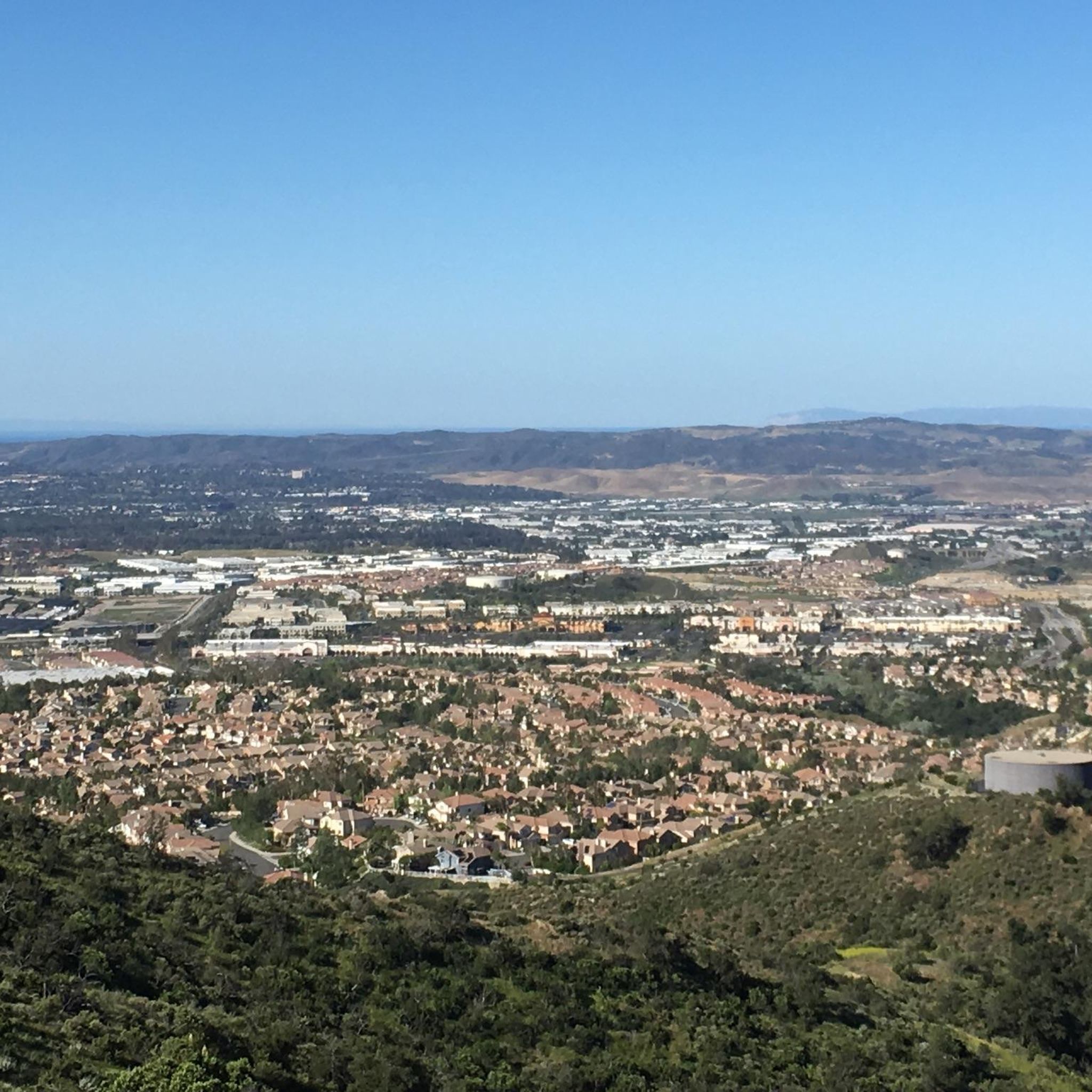
The Dreaded Hill and Billy Goat Trail Loop offers a truly diverse and challenging hiking experience within Whiting Ranch Wilderness Park. This moderate 5.9-mile (9.5 km) loop, with its 1010 feet (308 metres) of elevation gain, is a favorite for those seeking a solid workout. You'll navigate everything from steep, loose fire roads on Dreaded Hill to strenuous single-track ridge lines, all while enjoying panoramic views of Orange County and, on clear days, Catalina Island. Keep an eye out for the distinctive red rock canyons and the unique "ghostlike trees" in Sleepy Hollow.
Planning your visit means heading to Whiting Ranch Wilderness Park, a popular spot for both hikers and mountain bikers. The trail is largely exposed, so an early start is advisable, especially if you want to avoid the midday sun. The estimated duration for this hike is around 2 hours and 50 minutes, so pack enough water. You'll find a convenient meeting point and water fountain at "Four Corners" along the route.
This trail is renowned as a conditioning hike, making it perfect if you're looking to build stamina or push your limits. While the park is optimized for mountain bikers, hikers will find plenty of rewarding terrain and striking scenery. Historically, the park has been noted for mountain lion activity, adding a wilder edge to this urban-adjacent wilderness experience.
5.0
(1)
7
hikers
5.47km
01:36
200m
80m
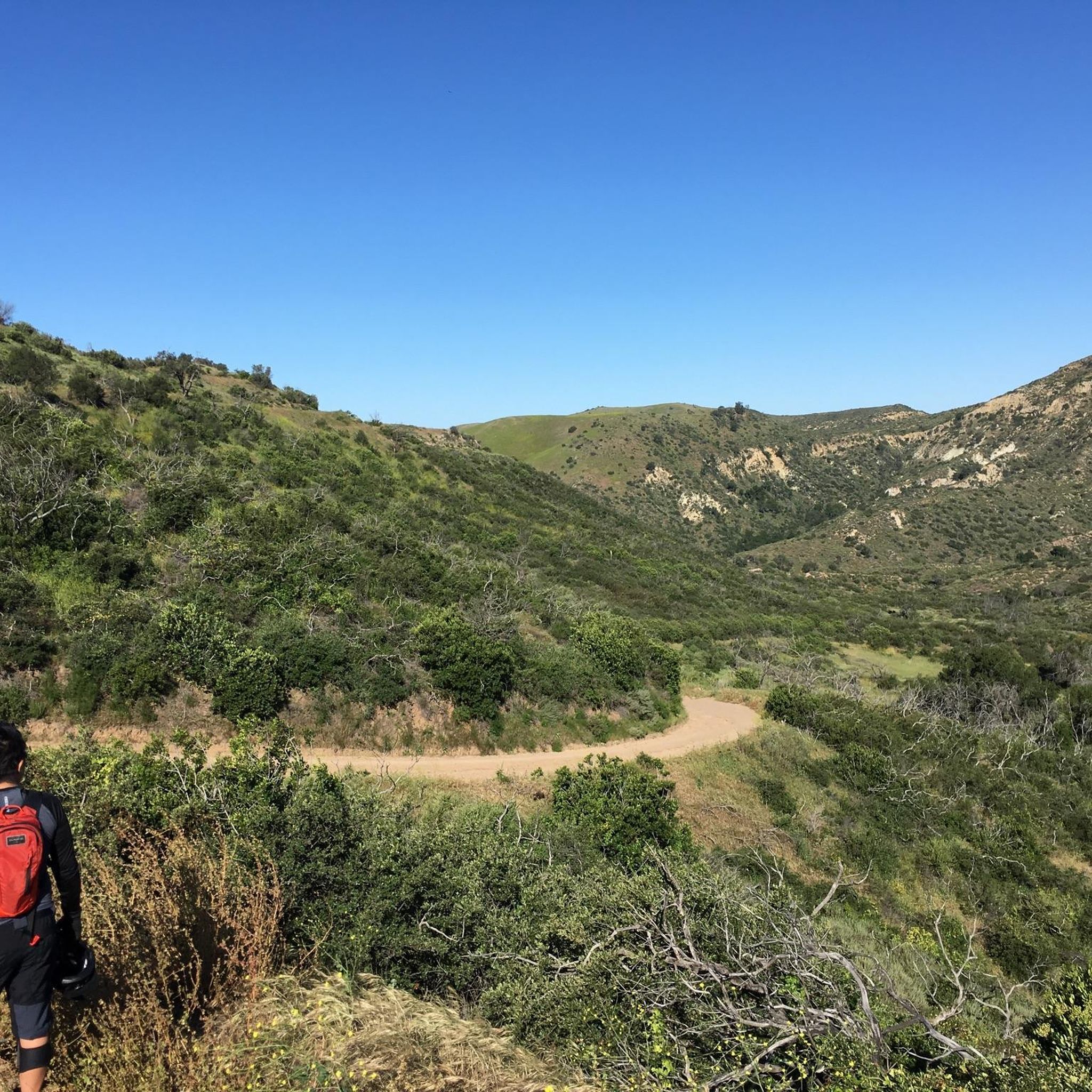
The Borrego Canyon, Mustard Road, and Billy Goat Trail Loop offers a dynamic hiking experience within Whiting Ranch Wilderness Park. You will traverse peaceful oak woodlands along the Borrego Canyon Trail, then transition to Mustard Road with its desert-like flora, before tackling the more rugged Billy Goat Trail. This narrow singletrack climbs steeply, rewarding your effort with expansive views of Santiago Peak and the surrounding Orange County landscape from its highest points. It is a great way to experience varied terrain and scenery in a relatively short distance.
Planning your visit is straightforward for this easy 3.4-mile (5.5 km) loop, which typically takes about 1 hour and 35 minutes to complete. The trail has an elevation gain of 642 feet (196 metres), with the Billy Goat Trail section being the most demanding part. Whiting Ranch Wilderness Park is well-maintained, and you will find clear trail markers throughout. Consider starting your hike earlier in the day to enjoy cooler temperatures, especially during warmer months, and to ensure you have ample time to explore.
This loop is notable for its inclusion of the Billy Goat Trail, one of only two hiker-only trails in the park, providing a more secluded experience away from mountain bikers. You will also pass by Four Corners, a significant junction with amenities like a water fountain and a bench overlooking Red Rock Canyon, making it a perfect rest stop. The park itself is known for its recovery from the 2007 Santiago Fire, with visible scars that tell a story of resilience, and offers opportunities for wildlife spotting, including deer and various birds.

5.0
(1)
1
hikers
1.93km
00:33
70m
0m
Easy 1.2-mile hike on Borrego Canyon Trail in Whiting Ranch Wilderness Park, leading to Red Rock Canyon with 226 feet of elevation gain.
2
hikers
4.60km
01:25
220m
30m
Hike the easy 2.9-mile Serrano Road to Dreaded Hill Road trail in Whiting Ranch Wilderness Park, gaining 721 feet with canyon views.
4.53km
01:26
190m
170m
Embark on the Whiting Road to Billy Goat Loop Trail for a dynamic hike through Whiting Ranch Wilderness Park, where you'll encounter a mix of oak-wooded canyons, rolling grassland hills, and coastal chaparral. The highlight is undoubtedly the Billy Goat Trail, a challenging section of narrow singletrack with steep ascents and descents, offering amazing views of Santiago Peak and the surrounding Orange County landscape. Despite its overall easy rating, be prepared for a good workout on the Billy Goat's varied terrain of rocks, roots, and loose gravel.
Planning your visit is straightforward, as the park features well-maintained and clearly marked trails. While specific parking information for this trailhead isn't detailed, it's always wise to arrive early, especially on weekends, to ensure a spot at this popular wilderness area. Remember to carry enough water, particularly on warmer days, and be mindful of local wildlife like coyotes and snakes.
What makes this route particularly notable is that the Billy Goat Trail is one of the few hiker-only trails in Whiting Ranch Wilderness Park, providing a focused hiking experience away from mountain bikers. This 2.8-mile (4.5 km) loop, with its 634 feet (193 metres) of elevation gain, offers an "extra credit" challenge within an otherwise accessible park, making it a great option for those seeking expansive vistas and a solid hour and 25 minutes of activity.
Get access to more routes and recommendations from other explorers.
Already have an account?
Our route recommendations are based on thousands of hikes, rides, and runs completed by other people on komoot.
Start today with a free account
Your next adventure awaits.
Tips from the Community

Whiting Ranch Wilderness Park is about 2,500 acres of diverse landscapes. There is about 17 miles of trails to run that take you through canyons, woodlands, rolling grasslands, and red‑rock formations
0
0

The four trails are Mustard Road, Whiting Spur Road, Whiting Road, and Water Tank Road. There are trail maps, a water fountain and a bench that overlooks Red Rock Canyon.
0
0
Reynolds Bench is located in an area called "Four Corners," where four trails converge. The four trails are Mustard Road, Whiting Spur Road, Whiting Road, and Water Tank Road. There are trail maps, a water fountain and a bench that overlooks Red Rock Canyon. It's on multi-use trails and a hot spot for a break mid-hike.
0
0
Frequently Asked Questions
How many hiking trails are available in Whiting Ranch Wilderness Park?
Whiting Ranch Wilderness Park features nearly 30 distinct hiking trails, offering a wide range of experiences. These include 9 easy routes, 17 moderate paths, and 2 more challenging trails, catering to various fitness levels.
What kind of terrain can I expect when hiking in Whiting Ranch Wilderness Park?
The park offers diverse terrain, from dramatic 100-foot sandstone cliffs and distinctive red-rock formations, particularly in areas like Red Rock Canyon, to riparian and oak woodland canyons, rolling grassland hills, and steep slopes covered with coastal sage scrub. Three intermittent streams—Borrego, Serrano, and Aliso Creek—also meander through the park.
Are there any easy, family-friendly hikes in Whiting Ranch Wilderness Park?
Yes, the park has 9 easy routes suitable for families. While specific family-friendly routes aren't detailed here, many of the park's trails offer gentle paths. For a moderate option that's popular, consider the Borrego Trail to Red Rock Canyon & Vista Lookout, which is well-trafficked and offers scenic views.
What are the most scenic viewpoints or natural landmarks in the park?
The park is renowned for its dramatic 100-foot sandstone cliffs and coiled red-rock formations, especially within Red Rock Canyon. The Vista Lookout offers expansive panoramic views of the park and surrounding foothills, while Reynolds Bench provides a convenient rest area with views overlooking Red Rock Canyon.
Are there any loop trails in Whiting Ranch Wilderness Park?
Yes, several loop trails are available. A popular option is the Red Rock Canyon – Reynolds Bench loop from Foothill Ranch, which is 6.2 miles long. Another well-liked loop is the Dreaded Hill loop, a moderate 4.0-mile path offering varied terrain.
What do other hikers enjoy most about Whiting Ranch Wilderness Park?
The park is highly rated by the komoot community, with an average score of 4.7 stars from over 55 reviews. Hikers frequently praise the dramatic sandstone cliffs, the unique red-rock formations, and the diverse canyon and hill landscapes. The extensive trail network also offers options for various ability levels, from gentle paths to more challenging routes.
Is there parking available at Whiting Ranch Wilderness Park?
Yes, parking is available at various access points to Whiting Ranch Wilderness Park. For instance, the Borrego Canyon section of the park features an entrance point with parking. It's always a good idea to check specific trailhead information for parking availability and any potential fees.
Are permits or entry fees required to hike in Whiting Ranch Wilderness Park?
Generally, there are no entry fees or permits required for day-use hiking in Whiting Ranch Wilderness Park. However, it's always recommended to check the official Orange County Parks website or local signage for the most current regulations before your visit.
What kind of wildlife might I encounter on the trails?
Whiting Ranch Wilderness Park is home to diverse wildlife. Visitors might observe various reptiles, raptors, and smaller bird species like the cactus wren and the endangered California gnatcatcher. Mule deer are also present, which can attract mountain lions, so visitors are advised to be aware of their surroundings and hike responsibly.
Are there any guided experiences or nature walks available?
Yes, ranger-led nature walks are available for groups seeking guided experiences within Whiting Ranch Wilderness Park. These walks can offer deeper insights into the park's ecology, geology, and wildlife. For more information on scheduling or availability, it's best to contact the park directly or visit the official Orange County Parks website.
What is the best time of year to hike in Whiting Ranch Wilderness Park?
The park can be enjoyed year-round, but spring and fall generally offer the most pleasant hiking conditions with milder temperatures. Summers can be hot, so early morning or late afternoon hikes are recommended during those months. Winter can bring cooler temperatures and occasional rain, which can make the trails muddy but also enhance the greenery.
Are dogs allowed on the trails in Whiting Ranch Wilderness Park?
While the park is a popular destination for outdoor activities, specific regulations regarding dogs can vary. It's best to check the official Whiting Ranch Wilderness Park website or local signage for the most up-to-date information on dog-friendly trails and leash requirements before planning your visit.
Most popular routes in Whiting Ranch Wilderness Park
Most popular attractions in Whiting Ranch Wilderness Park

Get inspired with the komoot mobile app


Explore more
Browse the best Hikes in other regions.
