The best cycling routes in Mcdowell Mountain Regional Park
254
riders
52
rides
Touring cycling routes in Mcdowell Mountain Regional Park traverse the Sonoran Desert ecosystem, characterized by saguaro cacti and desert terrain. The park's elevation ranges from 1,600 feet to 3,000 feet, offering varied gradients for cyclists. Routes often feature moderate climbs and descents, with views of landmarks such as Four Peaks and Weaver's Needle. The park provides a network of multi-use trails suitable for different cycling disciplines.
Best touring cycling routes in Mcdowell Mountain Regional Park
- The most popular touring cycling route is Balanced Rock – Balanced Rock loop from Fraesfield Mountain Trailhead, a 25.5 miles (41.0 km) trail that takes 3 hours 39 minutes to complete. This moderate route features an elevation gain of 1,043 feet (318 meters).
- Another top favourite among local touring cyclists is 136th Street Express Trail – Balanced Rock loop from Reata Pass, a moderate 27.5 miles (44.3 km) path. This route includes an ascent of 1,129 feet (344 meters) through the desert landscape.
- Local touring cyclists also love the Latigo Trail – Latigo Trail loop from Fraesfield Mountain Trailhead, a 17.9 miles (28.8 km) trail leading through the Sonoran Desert, often completed in about 2 hours 45 minutes.
- Touring cycling in Mcdowell Mountain Regional Park is defined by desert landscapes, saguaro cacti, and views of distant mountains. The network offers options for different ability levels, from easier paths to routes with sustained climbs.
- The routes in Mcdowell Mountain Regional Park are highly rated by the komoot community with an average score of 5.0 stars from over 2 reviews. More than 290 touring cyclists have used komoot to explore Mcdowell Mountain Regional Park's varied terrain.
Last updated: June 27, 2026
3
riders
23.8km
01:31
290m
290m
Moderate bike ride. Good fitness required. Mostly paved surfaces. Suitable for all skill levels.
15
riders
40.8km
03:38
310m
310m
Moderate bike ride. Good fitness required. Mostly paved surfaces. Suitable for all skill levels.

Sign up for free
6
riders
16.9km
01:38
170m
170m
Moderate bike ride. Good fitness required. Mostly paved surfaces. Suitable for all skill levels.
9
riders
28.7km
02:45
250m
250m
Moderate bike ride. Good fitness required. Mostly paved surfaces. Suitable for all skill levels.
5
riders
Hard bike ride. Very good fitness required. Mostly paved surfaces. Suitable for all skill levels.
Get access to more routes and recommendations from other explorers.
Sign up for free
Already have an account?
Our route recommendations are based on thousands of hikes, rides, and runs completed by other people on komoot.
Start today with a free account
Your next adventure awaits.
Login or Signup
Tips from the Community

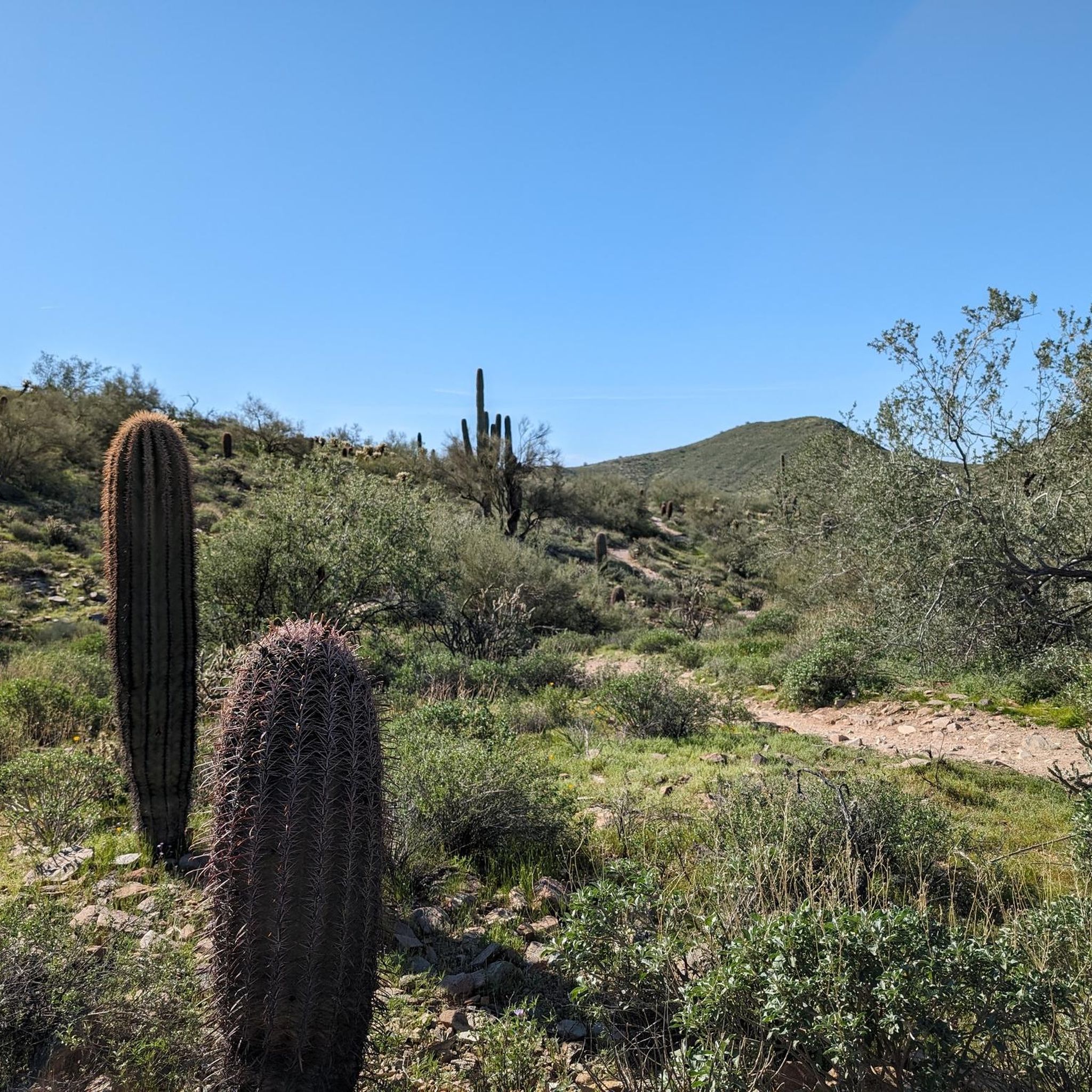
Chuckwagon Trail is a fantastic, easy, wide pathway with a gradual incline leading to Balanced Rock. There are great views along the way throughout the beautiful desert landscape. The route is popular with hikers, mountain bikers and equestrians, so you'll see plenty of others enjoying the trail as you explore.
0
0
This trailhead serves as one of the primary access points for the preserve, and is the starting point for shorter and easier trails that meander around and across the natural desert wash. There is an extensive parking lot, restrooms, covered areas for shade, water, and plenty of directional signage.
0
0
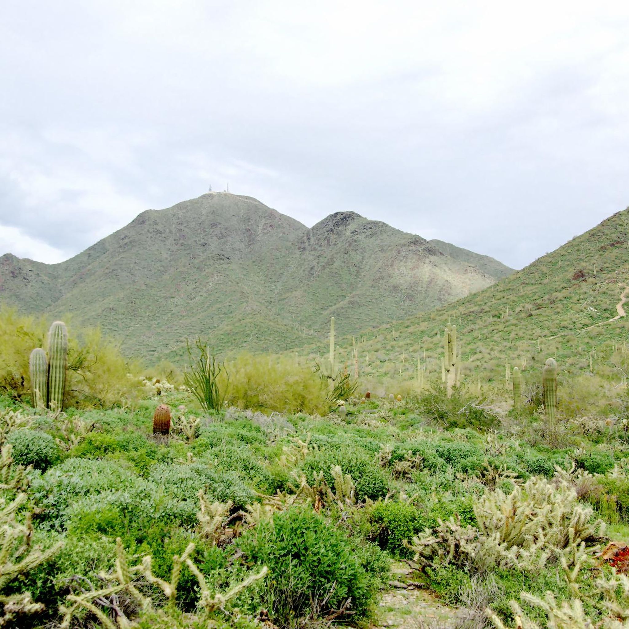
The McDowell Sonoran Preserve spans over 30,000 acres, with over 230 miles of trails; it is the largest urban preserve in the country. It is an outdoor enthusiast playground for hiking, mountain biking, rock climbing, or simply a place to connect with nature. Most trailheads are easily accessible, and entry into this beautiful desert landscape preserve is free.
0
0

The Latigo Trail is a relatively flat easy trail with a few little hills and bumps to keep things interesting. However, the incredible desert scenery will keep you interested as you ride under the blue skies.
1
0
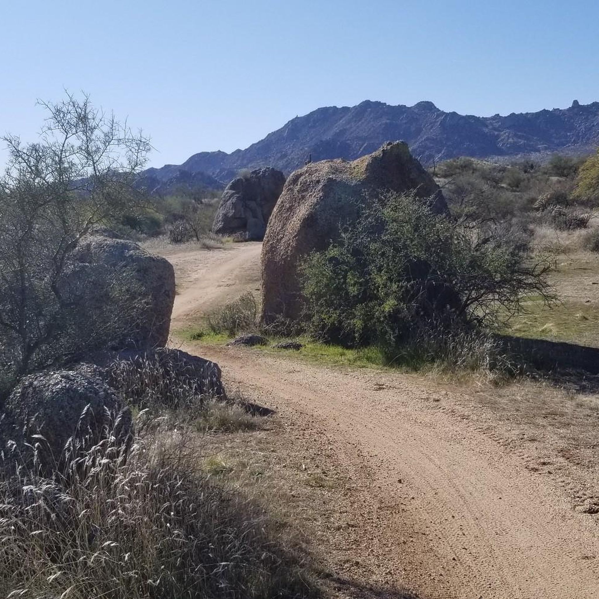
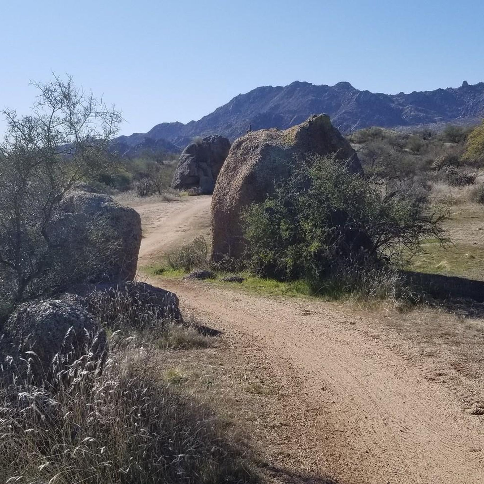
The natural wonder that is Balanced Rock is one of the most photographed locations in the McDowell Preserve. You'll need to keep an eye out for other trail users, which makes this a great place to stop and have a water/snack break before continuing your ride.
0
0

Fountain Park is a 64-acre recreation park in the center of town. It was constructed in 1970 and is home to a 29-acre, 100 million-gallon lake with a fountain! The huge fountain spout will go off every hour for 15 minutes between 9:00 a.m. and 9:00 p.m.The only time I will not erupt is in windy conditions.
0
0
The natural wonder that is Balanced Rock is one of the most photographed locations in the McDowell Preserve. You'll need to keep an eye out for other trail users, which makes this a great place to stop and have a water/snack break before continuing your ride.
0
0
The Latigo Trail is a relatively flat easy trail with a few little hills and bumps to keep things interesting. However, the incredible desert scenery will keep you interested as you ride under the blue skies.
0
0
Frequently Asked Questions
How many touring cycling routes are available in McDowell Mountain Regional Park?
McDowell Mountain Regional Park offers a wide selection of touring cycling routes, with over 55 different options to explore. These routes cater to various skill levels, including 18 easy, 31 moderate, and 6 difficult trails.
What kind of terrain and scenery can I expect on the touring cycling routes?
The touring cycling routes traverse the stunning Sonoran Desert ecosystem, featuring iconic saguaro cacti and diverse desert terrain. You can expect a mix of moderate climbs, fast descents, and engaging singletrack, with elevations ranging from 1,600 to 3,000 feet. Cyclists often enjoy panoramic views of prominent landmarks like Four Peaks and Weaver's Needle to the east, and Tom's Thumb in the McDowell Mountains to the west.
Are there any longer touring cycling routes for more experienced riders?
Yes, for those seeking a longer challenge, the 136th Street Express Trail – Balanced Rock loop from Reata Pass is a moderate 27.5-mile (44.3 km) path with an ascent of 1,129 feet (344 meters). Another option is the Balanced Rock – Balanced Rock loop from Fraesfield Mountain Trailhead, which covers 25.5 miles (41.0 km) with an elevation gain of 1,043 feet (318 meters).
Are there any shorter or easier touring cycling routes suitable for a quicker ride?
For a shorter ride, consider the Black Hill Tank loop from Fraesfield Mountain Trailhead. This moderate route is 13.9 miles (22.4 km) long with an elevation gain of 567 feet (173 meters), offering a quicker desert experience.
What do other touring cyclists enjoy most about the routes in McDowell Mountain Regional Park?
The routes in McDowell Mountain Regional Park are highly rated by the komoot community, with an average score of 5.0 stars. Cyclists frequently praise the scenic desert landscapes, the well-maintained multi-use trails, and the opportunity to experience the unique Sonoran Desert environment.
Are there any notable attractions or facilities along the touring cycling routes?
Yes, the park offers several amenities and points of interest. You can find rest stops like Jackass Junction and The Zen Zone, which provide sheltered benches, map boards, and even tool stations for minor bike repairs. The Pemberton Trail (East Side) is also a popular highlight for its scenic desert experience.
Is parking available at the trailheads?
Yes, McDowell Mountain Regional Park provides ample parking at its various trailheads, including Fraesfield Mountain Trailhead and Reata Pass. Please note that the park charges a day-use fee per vehicle for entry.
Can I expect to see any wildlife while cycling?
The Sonoran Desert is home to diverse wildlife. While cycling, you might spot javelina, coyotes, deer, and a variety of bird species, especially around the park's three ponds. Remember to observe wildlife from a respectful distance.
Are there any circular touring cycling routes?
Many of the touring cycling routes in McDowell Mountain Regional Park are designed as loops, offering a convenient way to start and end your ride at the same point. Examples include the Latigo Trail – Latigo Trail loop from Fraesfield Mountain Trailhead and the 136th Street Express Trail loop from Fraesfield Mountain Trailhead.
When is the best time of year to go touring cycling in McDowell Mountain Regional Park?
Given the desert climate, the cooler months from fall through spring (roughly October to April) are generally the most pleasant for touring cycling in McDowell Mountain Regional Park. Summers can be extremely hot, making early morning or late afternoon rides essential if visiting during those months.
Are the touring cycling routes suitable for families with children?
The park offers a range of trails, and some are described as 'mostly well-paved surfaces and easy to ride,' which can be suitable for families. The park also features a desert-themed playground, making it a family-friendly destination. When planning a family outing, consider shorter, easier routes like the Black Hill Tank loop from Fraesfield Mountain Trailhead.
Most popular routes in Mcdowell Mountain Regional Park
Most popular attractions in Mcdowell Mountain Regional Park

Get inspired with the komoot mobile app


Explore more
Browse the best Cycling routes in other regions.
