The best running trails in Mill Creek Canyon Wilderness Study Area
4.3
(7)
696
runners
42
runs
Jogging routes in Mill Creek Canyon Wilderness Study Area offer diverse terrain within a landscape characterized by perennial streams, lush riparian vegetation, and impressive Navajo sandstone formations. The area features a network of trails ranging from accessible paths to more challenging routes with significant elevation changes. Runners can experience striking red rock formations, including natural bridges and arches, alongside varied vegetation zones such as pinyon-juniper at higher elevations. This combination of features provides a varied running environment.
Best jogging routes…
Last updated: October 11, 2026
1
runners
13.0km
01:38
200m
200m
Moderate run. Good fitness required. Mostly paved surfaces. Suitable for all skill levels.
1
runners
13.9km
01:44
200m
200m
Moderate run. Good fitness required. Mostly accessible paths. Some sure footedness required.

5.0
(1)
18
runners
20.8km
02:37
500m
500m
Hard run. Very good fitness required. Mostly accessible paths. Some sure footedness required.
50
runners
17.1km
01:51
260m
260m
Hard run. Very good fitness required. Mostly paved surfaces. Suitable for all skill levels.
3.0
(1)
32
runners
11.4km
01:10
50m
50m
Moderate run. Good fitness required. Mostly paved surfaces. Suitable for all skill levels.
Get access to more routes and recommendations from other explorers.
Already have an account?
Our route recommendations are based on thousands of hikes, rides, and runs completed by other people on komoot.
Start today with a free account
Your next adventure awaits.
Popular around Mill Creek Canyon Wilderness Study Area
Tips from the Community

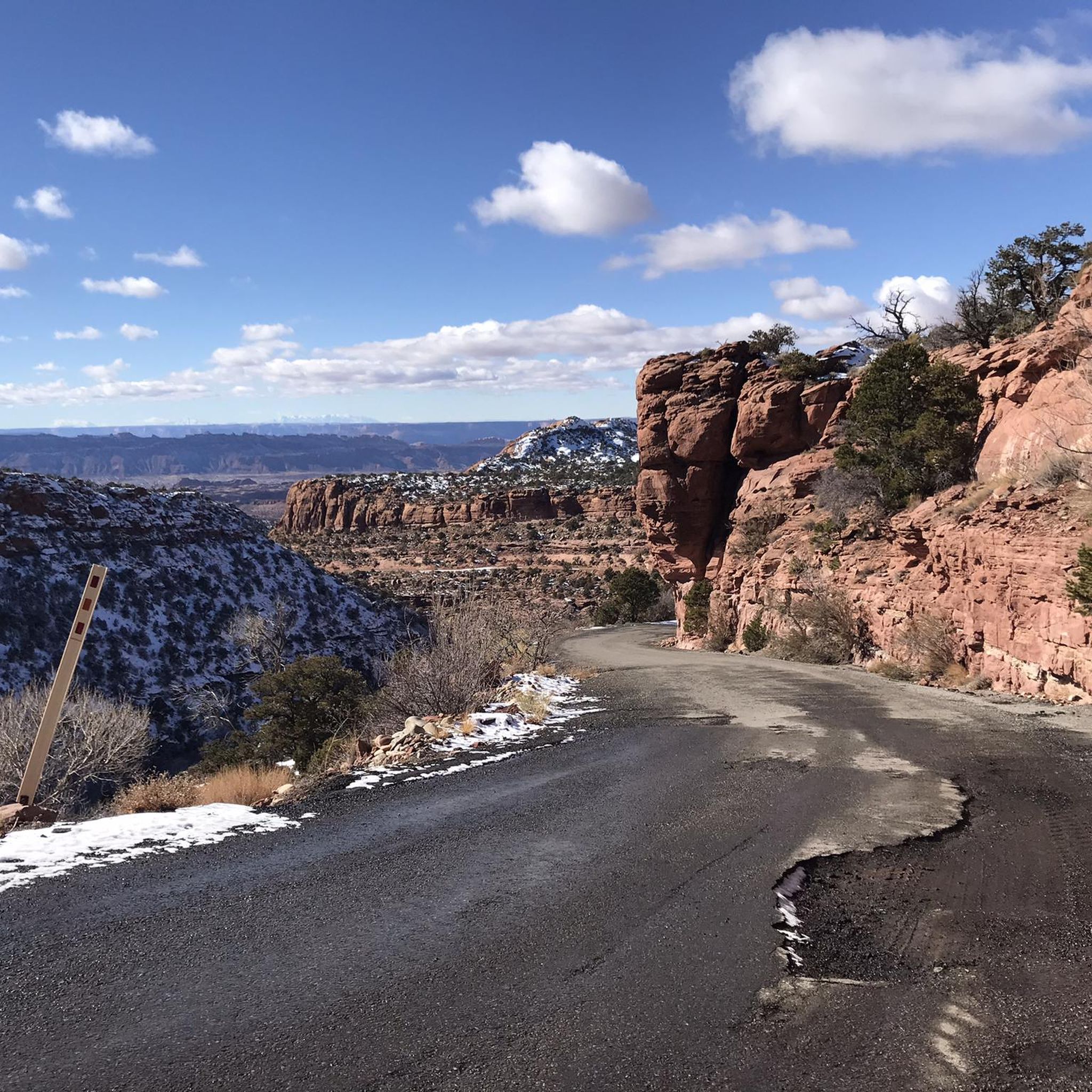
Parts of the cycle path along US-191
1
0


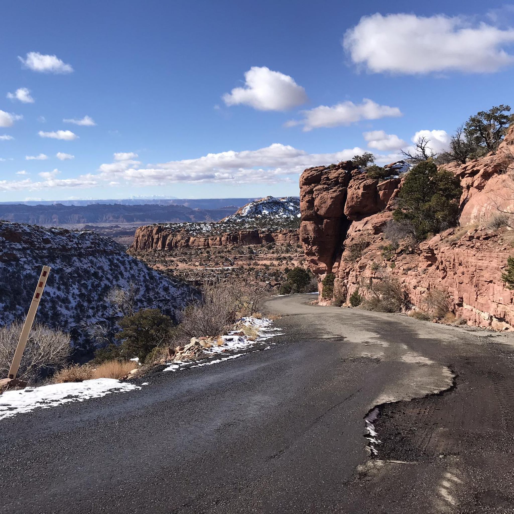
Moab is a desert gateway town built for adventurers, framed by red-rock arches and mesas all set along the Colorado River. It’s the ideal base for exploring world-famous landscapes like Arches and Canyonlands National Parks, plus slickrock mountain biking, rafting excursions, and scenic drives through rugged canyon country. Downtown offers a nice mix of good food, galleries, gear shops, and local hospitality.
0
0

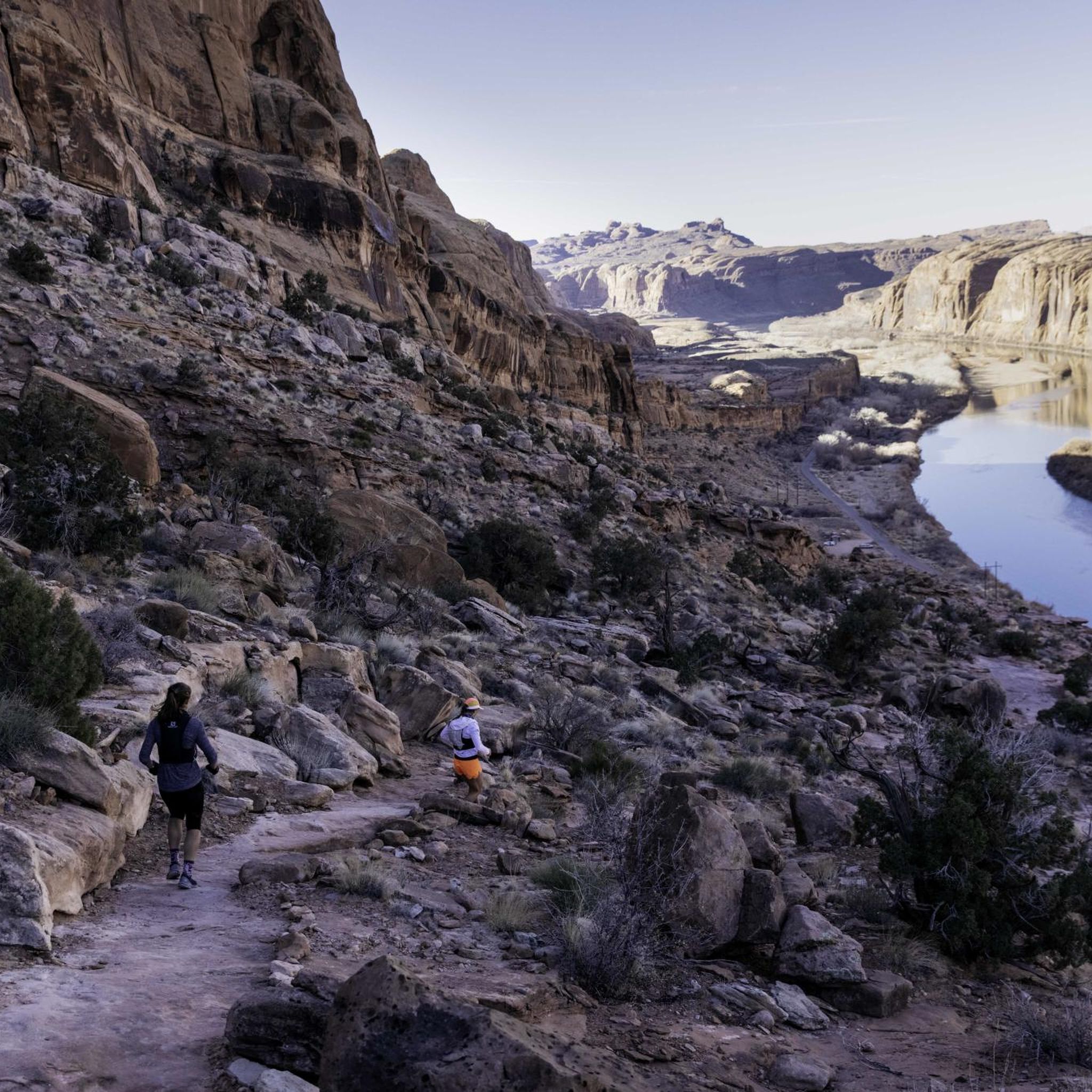
A technical singletrack running along the cliffs just outside Moab. Expect rocky sections, short climbs, and striking red rock views. Avoid the afternoon heat by going early.
0
0
This is a great place to end your run, with a beautiful view over the Colorado River. Take a moment to enjoy the landscape before heading back.
0
0
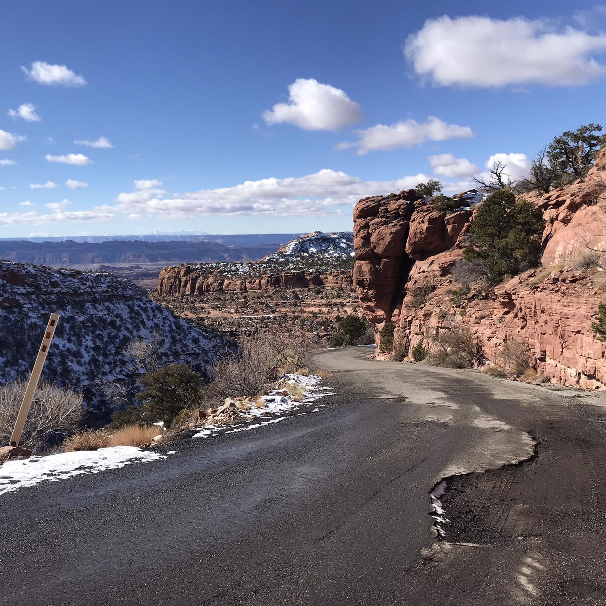
One of the wildest runs in Moab, with rolling slickrock, steep climbs, and nonstop views. The traction’s great, but it’s tough on the legs. Follow the white markings, bring plenty of water, and don’t expect an easy cruise. This trail is also popular with mountain bikers—and mostly used by them—so stay alert and be respectful.
0
0

Frequently Asked Questions
How many running routes can I find in Mill Creek Canyon Wilderness Study Area?
There are over 40 dedicated running routes available in Mill Creek Canyon Wilderness Study Area, catering to various fitness levels. You'll find a good mix, including 5 easy, 25 moderate, and 10 difficult trails.
Are there any easy or beginner-friendly running trails in the area?
Yes, Mill Creek Canyon offers several easy routes perfect for beginners or a leisurely jog. While specific easy routes are not detailed here, the overall network includes 5 trails classified as easy, providing accessible paths through the scenic landscape.
What kind of terrain can I expect on the running trails?
The terrain in Mill Creek Canyon Wilderness Study Area is quite diverse. You'll encounter paths through lush riparian vegetation along perennial streams, impressive Navajo sandstone formations with domes and fins, and higher elevations featuring pinyon-juniper and blackbrush. Some routes, like the Slickrock and Hell's Revenge Loop, specifically traverse these unique sandstone features.
Can I bring my dog on the running trails in Mill Creek Canyon?
While the region is popular for outdoor activities, it's important to check local regulations regarding dogs in the Mill Creek Canyon Wilderness Study Area. Wilderness Study Areas often have specific rules to protect wildlife and natural resources. For the most current information on pet policies, it's advisable to consult the official Bureau of Land Management (BLM) website for the area: blm.gov.
Are there any running routes that feature waterfalls or swimming holes?
Yes, the presence of perennial streams, particularly in the North Fork of Mill Creek, Rill Creek, and Burkholder Draw, creates lush riparian areas that often lead to refreshing waterfalls and swimming holes. The Mill Creek Trail is known for featuring sandstone walls and waterfalls, offering a scenic and cool experience.
What are some interesting natural landmarks or points of interest I might see while running?
Runners can discover a variety of striking natural landmarks. The area is famous for its Navajo sandstone geology, featuring spectacular domes, fins, and sheer canyon walls. Keep an eye out for unique geological wonders like Cliffhandle Arch and Otho Natural Bridge. Additionally, for those interested in cultural history, there are ancient rock art panels along some routes.
What do other runners say about the trails in Mill Creek Canyon Wilderness Study Area?
The running routes in Mill Creek Canyon Wilderness Study Area are highly rated by the komoot community, with an average score of 4.5 stars from 6 reviews. Over 500 runners have explored the varied terrain, often praising the unique geological formations and the refreshing presence of streams and lush vegetation.
Are there any circular running routes available?
Yes, there are several loop options for runners. For example, the Bridge over the Colorado River loop from Moab offers a 6.3-mile (10.2 km) circular trail through varied terrain. Another popular option is the Slickrock and Hell's Revenge Loop, which provides a moderate 8.6-mile (13.9 km) circular path traversing Navajo sandstone formations.
Is parking readily available for accessing the running trails?
Mill Creek Canyon Wilderness Study Area is easily accessible from Moab, Utah, suggesting that parking options are generally available near trailheads. However, specific parking details can vary, so it's always a good idea to check local signage or resources before heading out, especially during peak seasons.
What is the best time of year to go running in Mill Creek Canyon?
The diverse landscape of Mill Creek Canyon makes it suitable for running across different seasons. The presence of perennial streams and lush riparian vegetation can offer cooler conditions during warmer months, while the striking red rock formations provide dramatic views year-round. It's advisable to consider weather conditions, especially for extreme heat or potential winter conditions, and plan accordingly.
Are there any challenging running routes for experienced trail runners?
Absolutely. For those seeking a more strenuous experience, Mill Creek Canyon offers routes with significant elevation changes. For instance, the Moab Rim, Hidden Valley, and Pipe Dream Loop is a difficult 12.9-mile (20.8 km) route with over 500 meters of elevation gain, perfect for advanced trail runners. Another challenging option is the Moab Canyon Pathway – Bridge over the Colorado River loop from Moab, a difficult 10.6-mile (17.1 km) trail.
Can I reach the running trails using public transport from Moab?
While Mill Creek Canyon Wilderness Study Area is close to Moab, Utah, specific public transport options directly to trailheads might be limited. It's generally recommended to have personal transportation or check local shuttle services in Moab for access to the more remote trailheads. For detailed information on accessibility, local visitor centers in Moab would be a good resource.
Most popular routes in Mill Creek Canyon Wilderness Study Area

Get inspired with the komoot mobile app


Explore more
Browse the best Running Trails & Routes in other regions.
