Browns Canyon Wilderness Study Area
Browns Canyon Wilderness Study Area
The best running trails in Browns Canyon Wilderness Study Area
16
runners
5
runs
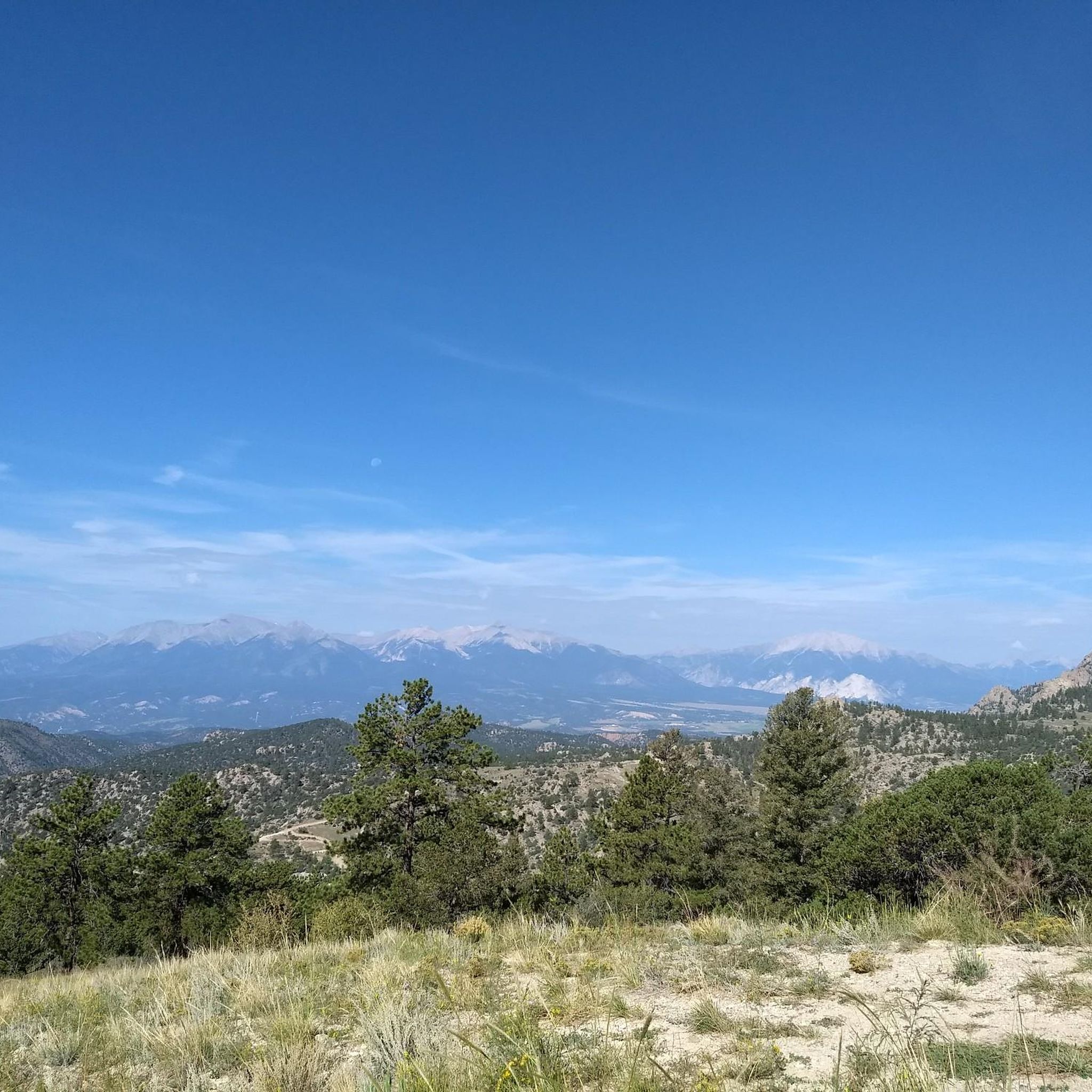
Jogging in Browns Canyon Wilderness Study Area offers exploration through a rugged and diverse landscape. The region is characterized by granite knolls, rocky outcrops, and canyons, with the Arkansas River carving through ancient granite. Joggers encounter varied ecosystems, transitioning from pinyon pine and juniper woodlands at lower elevations to ponderosa pine and Douglas fir forests higher up. The area features a diverse elevation range, from approximately 7,400 to 9,000 feet, providing varied terrain for running.
Best jogging routes in Browns…
Last updated: July 7, 2026
2
runners
8.64km
00:58
170m
170m
Moderate run. Good fitness required. Mostly paved surfaces. Suitable for all skill levels.
1
runners
18.0km
02:01
430m
430m
Hard run. Very good fitness required. Mostly paved surfaces. Suitable for all skill levels.

Sign up for free
1
runners
16.0km
02:12
560m
560m
Hard run. Very good fitness required. Mostly paved surfaces. Suitable for all skill levels.
6.50km
00:58
300m
300m
Hard run. Very good fitness required. Mostly paved surfaces. Suitable for all skill levels.
12
runners
8.09km
01:01
160m
160m
Moderate run. Good fitness required. Mostly paved surfaces. Suitable for all skill levels.
Our route recommendations are based on thousands of hikes, rides, and runs completed by other people on komoot.
Start today with a free account
Your next adventure awaits.
Login or Signup
Popular around Browns Canyon Wilderness Study Area
Tips from the Community

Few Dollars More Trail is a great multi-use trail close to the city of Buena Vista. It is mainly used for hiking and mountain biking and leads along small bushes through a beautiful landscape. As the trail doesn't include any major inclines, it can be considered easy and family-friendly.
0
0

Browns Canyon National Monument is described by the US Forest Service as being "a recreationist’s dream." The granite walls making up the canyon are unique to the area, and the trails are well-marked and easy to follow.
0
0
Bald Mountain stands at 9,607 feet and sees a variety of trail users reaching its summit. A rough OHV trail leads to the peak, but many people use the road for hiking, biking, and running as well. This can be a particularly good place to run in the late winter when most of the higher peaks in the area are still covered in snow.
0
0
Bald Mountain stands at 9,607 feet and see's a variety of trail users reaching its summit. A rough OHV trail leads to the peak, but many people use the road for hiking, biking, and running as well. This can be a particularly good place to hike in the late winter when most of the higher peaks in the area are still covered in snow.
0
0
Frequently Asked Questions
What kind of terrain can I expect on running routes in Browns Canyon Wilderness Study Area?
The running routes in Browns Canyon Wilderness Study Area feature a diverse and rugged landscape. You'll encounter granite knolls, rocky outcrops, and canyons carved by the Arkansas River. The elevation ranges from approximately 7,400 to 9,000 feet, leading you through pinyon pine and juniper woodlands at lower elevations, transitioning to ponderosa pine and Douglas fir forests higher up. Expect varied and scenic paths.
Are there any easy or beginner-friendly running trails in the area?
While many routes offer a moderate to difficult challenge, the area does provide options for different ability levels. For a moderate experience, consider the Few Dollars More Trail loop from Johnson Village, which covers about 8.1 km with a manageable elevation gain. Another moderate option is the Turret and River Bench Trail Loop, offering 8.6 km of scenic riverside running.
Can I bring my dog on the running trails in Browns Canyon Wilderness Study Area?
Yes, dogs are permitted on trails and in camping areas within Browns Canyon Wilderness Study Area. It is essential to keep them on a leash to protect wildlife and ensure a pleasant experience for all visitors.
Are there any loop running routes available?
Yes, several excellent loop routes are available for runners. The Turret and River Bench Trail Loop is a popular 8.6 km option. For a more challenging and remote experience, the Turret Trail and Catkin Gulch Loop offers an 18.0 km journey with rugged terrain and views of the Collegiate Peaks. Another loop to consider is the Bald Mountain Loop, a 6.5 km trail.
What natural features or landmarks can I see while running in Browns Canyon?
Runners can enjoy majestic views of the 14,000-foot peaks of the Sawatch Range. The area is also known for its rugged granite cliffs, colorful rock outcroppings, and the dramatic Arkansas River carving through ancient granite. You'll pass through diverse ecosystems, from pinyon-juniper woodlands to ponderosa pine forests, and experience the undisturbed riparian corridor along the river.
What is the best time of year to go running in Browns Canyon Wilderness Study Area?
Browns Canyon Wilderness Study Area is generally accessible most of the year, making it a viable destination across different seasons. For running, late spring through fall typically offers the most pleasant conditions. Even in late winter, when higher peaks might still be snow-covered, trails like those around Bald Mountain can be excellent options.
Are there opportunities for wildlife spotting during a run?
Absolutely. The wilderness teems with wildlife, including mule deer, mountain lion, bighorn sheep, elk, bobcat, and various fox species. The cliffs are also nesting grounds for raptors such as red-tailed hawks, prairie falcons, peregrine falcons, and golden eagles. Keep an eye out, especially during quieter times of day.
How many running routes are available in Browns Canyon Wilderness Study Area?
There are at least 5 distinct running routes detailed for Browns Canyon Wilderness Study Area, offering a range of distances and difficulties to suit various preferences.
Are there any specific trailheads or parking areas for runners?
The Ruby Mountain Trailhead is a popular entry point, offering several options to access routes that lead to the Arkansas River. Additionally, routes like the Bald Mountain Loop and Bald Mountain Gulch Trail are accessible from their respective starting points, which typically have parking facilities. It's always advisable to check specific trailhead information before heading out.
What is the difficulty level of running trails in Browns Canyon?
The running trails in Browns Canyon Wilderness Study Area range from moderate to difficult. You'll find moderate loops suitable for a good workout, such as the Few Dollars More Trail loop, and more demanding backcountry experiences like the Bald Mountain Gulch Trail, which features significant elevation changes over its 16.0 km length.
What do other runners enjoy most about the routes in Browns Canyon Wilderness Study Area?
Runners often praise the profound sense of solitude found in the canyons and gulches, the stunning views of the Sawatch Range, and the varied terrain that keeps runs interesting. The well-marked trails and the opportunity to experience diverse ecosystems, from riverside paths to pinyon-juniper woodlands, are frequently highlighted as key attractions.
Are there any permits required for running in Browns Canyon Wilderness Study Area?
Generally, no specific permits are required for day-use running on the trails within Browns Canyon Wilderness Study Area. However, it's always a good practice to check the latest regulations from the Bureau of Land Management (BLM) for any updates or specific requirements for certain activities or areas within the monument. You can find more information on the official BLM website for Browns Canyon National Monument.
Most popular routes in Browns Canyon Wilderness Study Area

Get inspired with the komoot mobile app


