The best road cycling routes in Edward Zorinsky Recreation Area
4.3
(5)
394
riders
28
rides
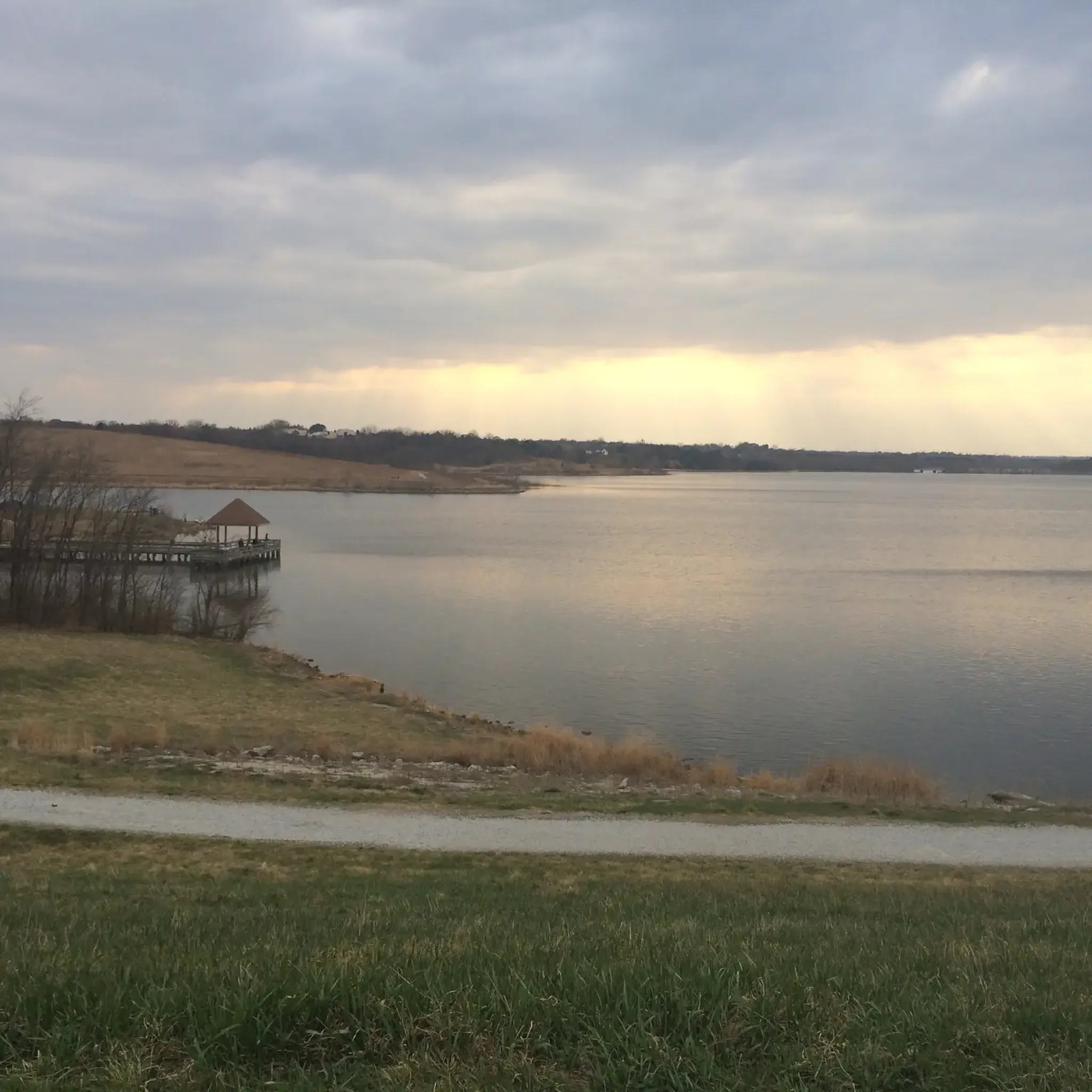
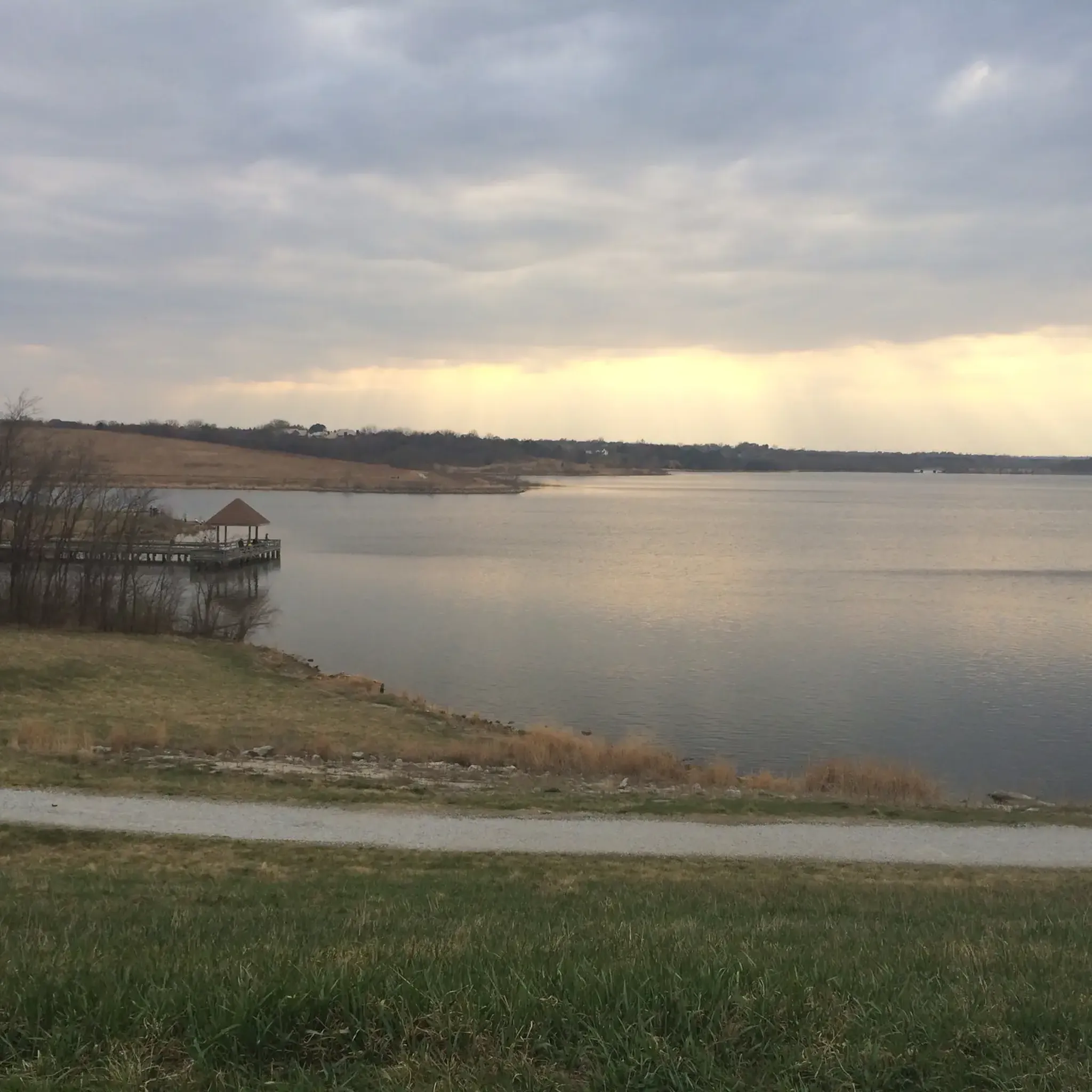
Road cycling in Edward Zorinsky Recreation Area features an extensive paved trail system that encircles Zorinsky Lake. The terrain is characterized by mostly flat sections with minimal elevation changes, making it accessible for various fitness levels. Pathways wind through open parkland, shaded wooded sections, and open fields, offering varied scenery for road cyclists. The central feature is the 255-acre Zorinsky Lake, providing lakeside views throughout many routes, alongside areas of native tallgrass prairie.
Best road cycling routes in Edward Zorinsky…
Last updated: July 16, 2026
5.0
(1)
16
riders
Moderate road ride. Good fitness required. Mostly well-paved surfaces and easy to ride.
13
riders
Easy road ride. Great for any fitness level. Mostly well-paved surfaces and easy to ride.

Sign up for free
51
riders
47.2km
02:28
150m
150m
Moderate road ride. Good fitness required. Mostly well-paved surfaces and easy to ride.
14
riders
43.6km
02:18
220m
220m
Moderate road ride. Good fitness required. Mostly well-paved surfaces and easy to ride.
12
riders
55.3km
02:57
320m
320m
Moderate road ride. Good fitness required. Mostly well-paved surfaces and easy to ride.
Get access to more routes and recommendations from other explorers.
Sign up for free
Already have an account?
Our route recommendations are based on thousands of hikes, rides, and runs completed by other people on komoot.
Start today with a free account
Your next adventure awaits.
Login or Signup
Popular around Edward Zorinsky Recreation Area
Tips from the Community

This little neighborhood path has a nice paved path you can cycle along a tree-lined corridor.
0
0
This pleasant, paved trail runs right past Seymour Smith Park, making it a great option for cycling north or south along the Papillion Creek corridor. Only a little over two miles of the Keystone Trail actually run over the railbed, but you can still see traces of that heritage in pilings, a lingering trestle, and one massive railroad bridge along the trail's length.
0
0

No path through Bluestem Prairie, but walking path is wide and lovely, just beautiful.
0
0
Cycling this path around Zorinsky Lake is a fine opportunity to see Bauermeister Prairie, one of the few remaining native tall-grass prairies in this part of the state.
1
0

At this spot you cross a nice bridge over West Papio Creek. The water is lined with rushes and tall grasses, which makes the water sometimes a little hard to see from the side, but makes it a popular spot with birds and other wildlife. This is a nice place to slow down and keep an eye out for them!
0
0

Nice Trail with some cool art here and there and insight on the former use of the trail
0
0

From here you gain an awesome view of the bendy Bob Kerrey Pedestrian Bridge. A real feat of engineering and an interesting perspective to view it from.
1
0

The Bob Kerrey Pedestrian Bridge is a 3,000-foot-long pedestrian bridge over the Missouri River between Council Bluffs, Iowa, and Omaha, Nebraska. It is a popular way for cyclist, runners and walkers to move between the two cities.
1
0
Frequently Asked Questions
How many road cycling routes are available in Edward Zorinsky Recreation Area?
There are over 25 road cycling routes available in Edward Zorinsky Recreation Area, offering a variety of options for different skill levels.
What is the typical terrain and elevation like for road cycling in Edward Zorinsky Recreation Area?
The area features an extensive paved trail system with mostly flat terrain and minimal elevation changes. The pathways wind through open parkland, shaded wooded sections, and open fields, providing varied scenery.
Are there easy road cycling routes suitable for beginners or families?
Yes, Edward Zorinsky Recreation Area is very accessible for various fitness levels. There are 15 easy routes, making it suitable for beginners and families. The trails are generally rated as easy with minimal elevation changes, and the park offers amenities like playgrounds and picnic shelters.
What natural features and landmarks can I expect to see while cycling around Zorinsky Lake?
While cycling, you'll experience picturesque lakeside views of the 255-acre Zorinsky Lake. The trails also pass through diverse scenery including shaded wooded sections, open fields, and the 190-acre Bauermeister Prairie, which showcases native tallgrass. You might also spot abundant wildlife such as deer, wild turkeys, and various bird species.
Where can I park my car when visiting Edward Zorinsky Recreation Area for cycling?
The Edward Zorinsky Recreation Area provides well-maintained amenities, including multiple parking areas conveniently located throughout the park, making access easy for cyclists.
What do other road cyclists enjoy most about the routes in Edward Zorinsky Recreation Area?
The area is highly rated by the komoot community, with an average score of 4.4 stars. Reviewers often praise the extensive paved trails, the beautiful lake views, and the diverse natural habitats that make for an engaging ride.
Are the road cycling trails in Edward Zorinsky Recreation Area well-marked?
Yes, the trails are clearly marked every tenth of a mile, which aids navigation and allows cyclists to easily track their distance.
Can I bring my dog along for a road cycling trip in Edward Zorinsky Recreation Area?
While the region research does not explicitly state dog-friendly cycling, most public parks in the US allow dogs on leashes on trails. It's generally advisable to keep dogs on a leash and ensure they are well-behaved around other trail users.
What are some longer, more challenging road cycling options in the area?
For those seeking a moderate challenge, routes like the Old railroad bridge and dam – Papillion Lake loop from Oak View Mall offer 31.6 miles of varied scenery. Another option is the Zorinsky Lake Trail – Old railroad bridge and dam loop from Oak View Mall, which is 21.9 miles long.
Are there any specific safety improvements for cyclists in the park?
Recent improvements include a new trail section underneath 168th Street, which enhances safety by allowing cyclists to avoid crossing vehicle traffic.
What is the best time of year to go road cycling in Edward Zorinsky Recreation Area?
The Edward Zorinsky Recreation Area is enjoyable for road cycling throughout much of the year. Spring and fall offer pleasant temperatures and vibrant scenery, while summer provides longer daylight hours. Winter cycling is possible, but conditions may vary.
Are there any facilities or amenities available along the cycling routes?
Yes, the park provides practical amenities such as picnic shelters with grills and restrooms, multiple playgrounds, baseball diamonds, soccer fields, and a wheelchair-accessible fishing dock, making it a versatile destination.
Most popular routes in Edward Zorinsky Recreation Area

Get inspired with the komoot mobile app


Explore more
Browse the best Road cycling routes in other regions.
