The best road cycling routes in Chalco Hills Recreation Area
4.7
(4)
370
riders
18
rides
Road cycling routes in Chalco Hills Recreation Area traverse a landscape characterized by rolling hills, open prairies, and several large lakes and reservoirs. The area offers varied terrain suitable for road cyclists, with routes often circling water bodies and connecting natural preserves. Elevation changes are generally moderate, providing accessible cycling experiences within a managed recreation environment. The region encompasses 1,186 acres, with Wehrspann Lake as a central feature.
Best road cycling routes in Chalco Hills Recreation Area
- The most popular…
Last updated: July 16, 2026
7
riders
86.7km
05:09
330m
330m
Hard road ride. Very good fitness required. Some segments of this route may be unpaved and difficult to ride.
8
riders
53.2km
03:04
350m
350m
Moderate road ride. Good fitness required. Some segments of this route may be unpaved and difficult to ride.

Sign up for free
12
riders
55.3km
02:57
320m
320m
The West Papio Creek Bridge – Lake Zorinsky loop offers a refreshing road cycling experience through Omaha's varied landscapes. You'll glide along smooth, paved paths, enjoying continuous views of Zorinsky…
5.0
(1)
35
riders
49.4km
02:49
220m
220m
Moderate road ride. Good fitness required. Mostly well-paved surfaces and easy to ride.
51
riders
47.2km
02:28
150m
150m
Moderate road ride. Good fitness required. Mostly well-paved surfaces and easy to ride.
Get access to more routes and recommendations from other explorers.
Sign up for free
Already have an account?
Our route recommendations are based on thousands of hikes, rides, and runs completed by other people on komoot.
Start today with a free account
Your next adventure awaits.
Login or Signup
Popular around Chalco Hills Recreation Area
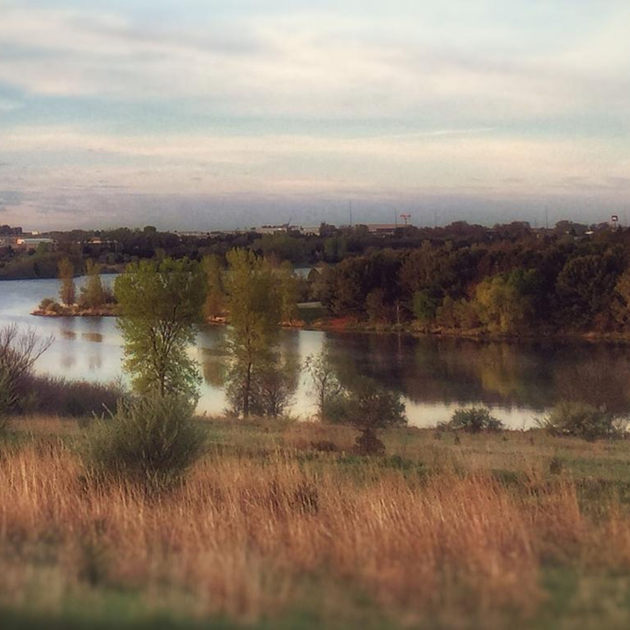
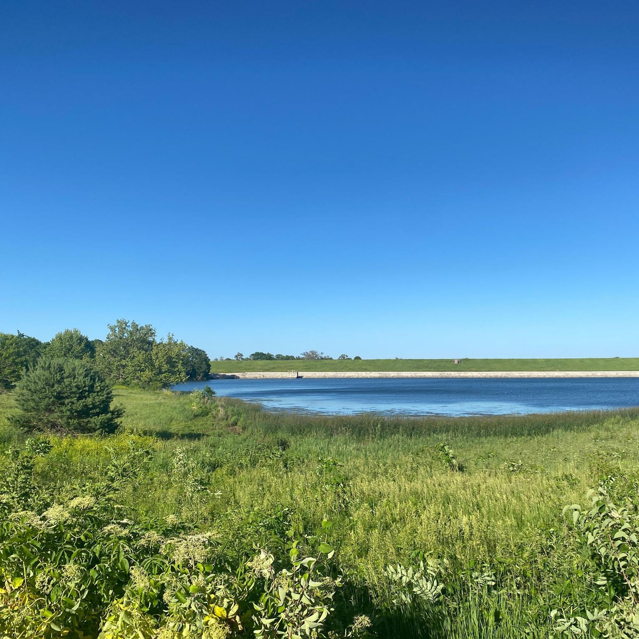

Tips from the Community

This pleasant, paved trail runs right past Seymour Smith Park, making it a great option for cycling north or south along the Papillion Creek corridor. Only a little over two miles of the Keystone Trail actually run over the railbed, but you can still see traces of that heritage in pilings, a lingering trestle, and one massive railroad bridge along the trail's length.
0
0

No path through Bluestem Prairie, but walking path is wide and lovely, just beautiful.
0
0
Cycling this path around Zorinsky Lake is a fine opportunity to see Bauermeister Prairie, one of the few remaining native tall-grass prairies in this part of the state.
1
0

At this spot you cross a nice bridge over West Papio Creek. The water is lined with rushes and tall grasses, which makes the water sometimes a little hard to see from the side, but makes it a popular spot with birds and other wildlife. This is a nice place to slow down and keep an eye out for them!
0
0

Nice Trail with some cool art here and there and insight on the former use of the trail
0
0

Zorinsky Lake was named after Senator Edward Zorinsky. The lake is 255 acres and is open to boating and fishing. In 2010, a zebra mussel was discovered, and the lake was partially drained to freeze and kill the invasive species.
0
0

Hop on your bike and cruise along the paved path circling Wehrspann Lake, enjoying beautiful views all around. Just remember to watch out for pedestrians as you ride along the lake's edge.
0
0
Explore the exciting biking trails at Chalco Hills Recreation Area. While you'll find peaceful lakeside views and handy picnic spots, the real highlight is the park's wide trails, perfect for biking adventures.
0
0
Frequently Asked Questions
How many road cycling routes are available in Chalco Hills Recreation Area?
There are over 15 road cycling routes available in Chalco Hills Recreation Area, offering a variety of distances and difficulty levels for cyclists.
What kind of terrain can I expect on road cycling routes in Chalco Hills?
Road cycling routes in Chalco Hills Recreation Area feature rolling hills, open prairies, and often circle large lakes and reservoirs. The elevation changes are generally moderate, providing accessible cycling experiences within a managed recreation environment.
Are there road cycling routes suitable for beginners in Chalco Hills?
Yes, Chalco Hills Recreation Area offers several easy road cycling routes perfect for beginners. An example is the West Papio Creek Bridge – Bluestem Prairie Preserve loop from Richland IV Precinct, which is 20.5 miles long and considered easy.
Are there challenging road cycling routes in Chalco Hills Recreation Area?
While most routes are moderate, some offer longer distances and more sustained climbs. For a moderate challenge, consider the Zorinsky Lake Trail – Lake Zorinsky loop from Harvest Hills Elementary School, which covers 34.8 miles with more elevation gain.
Can I find loop road cycling routes in Chalco Hills?
Yes, many road cycling routes in Chalco Hills Recreation Area are designed as loops, making them convenient for starting and ending at the same point. Examples include the Wehrspann Lake Trail – Chalco Hills Recreation Area loop from Harvest Hills Elementary School and the Old railroad bridge and dam – Papillion Lake loop from Oak View Mall.
What are the typical distances and durations for road cycling routes here?
Routes vary in length, from around 18 miles (29 km) to over 34 miles (56 km). Durations typically range from 1 hour 40 minutes for shorter, easier loops to over 3 hours for longer, moderate rides, depending on your pace.
What is the best time of year for road cycling in Chalco Hills?
The spring and fall seasons generally offer the most pleasant conditions for road cycling in Chalco Hills, with mild temperatures and vibrant scenery. Summer can be warm, so early morning or late afternoon rides are often preferred.
Is road biking in Chalco Hills possible during winter?
Road biking in Chalco Hills during winter is possible, but conditions can vary. Trails may be icy or covered in snow, especially after precipitation. It's advisable to check local weather and trail conditions before heading out and to use appropriate gear for cold weather cycling.
Where can I find parking for road cycling in Chalco Hills Recreation Area?
Chalco Hills Recreation Area provides several designated parking areas conveniently located near trailheads. Specific parking information can often be found on the individual route pages on komoot, or by checking the official park maps.
Are there family-friendly road cycling options in Chalco Hills?
Yes, the generally moderate terrain and well-maintained paths make many routes suitable for families. Look for the 'easy' rated routes, such as the Wehrspann Lake Trailhead – Chalco Hills Recreation Area loop from Gretna, which offers a pleasant experience for various skill levels.
What should I bring for a road cycling trip in Chalco Hills?
For a road cycling trip in Chalco Hills, essential items include a helmet, water bottles, snacks, a repair kit (spare tube, pump, tire levers), and appropriate clothing for the weather. Sunscreen and sunglasses are also recommended, especially on sunny days.
What scenic viewpoints or attractions can I see along the road cycling routes?
Road cycling routes in Chalco Hills often provide scenic views of the area's lakes, such as Zorinsky Lake and Wehrspann Lake, as well as open prairies and natural preserves like Bluestem Prairie. Keep an eye out for local wildlife, especially around the water bodies.
Are there places to stop for coffee or refreshments near the bike trails?
While the recreation area itself is primarily natural, there are various coffee shops and eateries in the surrounding communities of Omaha and Papillion, which are easily accessible from the main entrances and exits of Chalco Hills.
What do other road cyclists enjoy most about road cycling in Chalco Hills Recreation Area?
The area is highly rated by the komoot community, with an average score of 4.5 stars. Reviewers often praise the well-maintained paths, the scenic lake views, and the accessibility of routes for different skill levels, making it a popular spot for local cyclists.
Most popular routes in Chalco Hills Recreation Area

Get inspired with the komoot mobile app


Explore more
Browse the best Road cycling routes in other regions.
