The best walks and hikes in Moulton Falls Regional Park
4.8
(12)
165
hikers
12
hikes
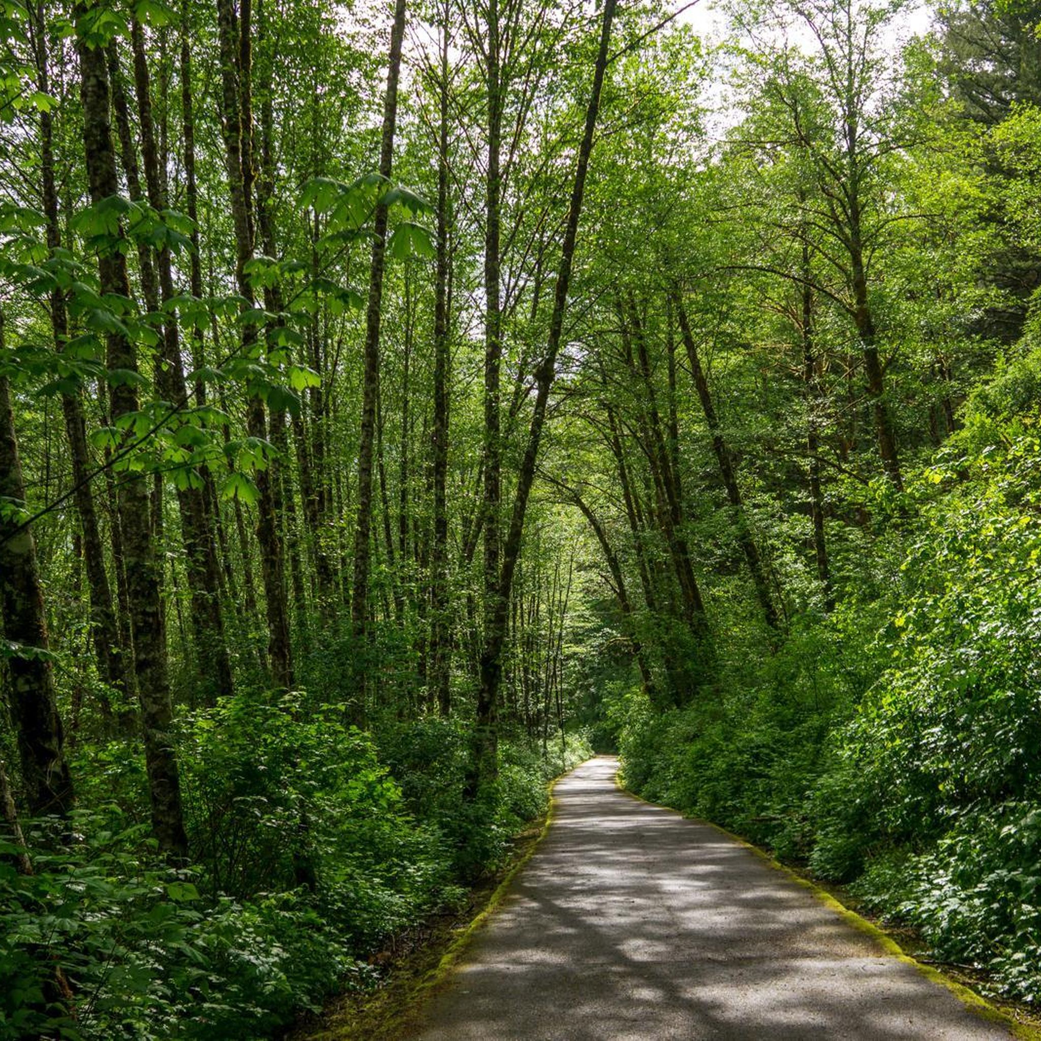
Hiking in Moulton Falls Regional Park offers diverse landscapes characterized by heavily forested terrain and significant waterways. The park is situated at the confluence of the East Fork of the Lewis River and Big Tree Creek, featuring several waterfalls and volcanic rock formations. Trails navigate through narrow tree-lined canyons and along rocky banks, providing varied natural features for hikers.
Best hiking trails in Moulton Falls Regional Park
- The most popular hiking route is Moulton Falls via East Fork of the…
Last updated: August 30, 2026
4.5
(4)
50
hikers
8.67km
02:19
100m
100m
The Moulton Falls via East Fork of the Lewis River Trail is a fantastic choice for a moderate 5.4-mile (8.7 km) hike that delivers big on scenery without demanding a…
5.0
(1)
13
hikers
9.89km
02:50
240m
220m
The Moulton Falls and Bells Mountain Loop offers a delightful mix of riverside tranquility and forest ascent, making it a popular choice for hikers seeking diverse scenery. You'll begin by…

Sign up for free
4.69km
01:42
490m
0m
The Bells Mountain Logging Trail offers a genuine taste of the Pacific Northwest's working forests, blending challenging climbs with scenic rewards. You'll traverse through varying forest groves, from dense fir…
15.2km
04:36
550m
350m
The Bells Mountain Trail takes you on a varied journey through Washington's Yacolt Burn State Forest, where you'll experience a mix of dense alder and Douglas fir groves and open…
4.5
(4)
48
hikers
8.62km
02:20
120m
120m
The East Fork of the Lewis River Trail offers a delightful riverside experience, winding through lush forests of Douglas firs and Western red cedars. You'll follow the soothing sounds of…
Get access to more routes and recommendations from other explorers.
Sign up for free
Already have an account?
Our route recommendations are based on thousands of hikes, rides, and runs completed by other people on komoot.
Start today with a free account
Your next adventure awaits.
Login or Signup
Popular around Moulton Falls Regional Park
Tips from the Community

The East Fork Lewis River is a river in the U.S. state of Washington. It is the largest tributary of the Lewis River. Its source is on Green Lookout Mountain in Skamania County
0
0

This scenic access point to the East Fork Lewis River offers an easy way to enjoy the water. The area is rich with wildlife, including over 20 species of fish, deer, elk, and bald eagles. Multiple access points along the water's edge make it a convenient spot for a break.
0
0

Multon Falls Regional park is a a 387 acre park on the East Fork of the Lewis River. It features a high arched swing bridge, two waterfalls, and a narrow tree lined canyon that the river flows through forming its namesake, Moulton Falls.
0
0

Moulton Falls is stunning, be sure to pack your swimsuit as there is a swimming access area. The waters are freezing even in the summer. If you can't handle the cold, it's still a perfect spot to sit and relax and take in the beautiful landscape.
0
0
Pack your lunch because this lakefront picnic spot amid trees provides beautiful natural scenery.
0
0

A scenic spot along the Lewis River where you might spot a bald eagle. Several access points to the water's edge makes this one an easy place to photograph.
1
0
Frequently Asked Questions
How many hiking trails are available in Moulton Falls Regional Park?
Moulton Falls Regional Park offers a variety of hiking experiences, with over 15 distinct trails to explore. These range from gentle riverside paths to more challenging climbs, catering to different skill levels.
Are there any waterfalls to see along the trails in Moulton Falls Regional Park?
Yes, the park is known for its beautiful waterfalls. You can see Moulton Falls, a 10-foot drop with a popular swimming hole, and Yacolt Falls (also known as Big Tree Falls), a more impressive two-tier waterfall. Lucia Falls is also accessible via a connecting trail.
Is Moulton Falls Regional Park suitable for families with children?
Absolutely. The park offers several gentle and relatively flat trails, such as sections of the East Fork of the Lewis River Trail, which are perfect for family outings. The iconic wooden arched bridge and the opportunity to see waterfalls make it an engaging destination for all ages.
Can I bring my dog on the hiking trails in Moulton Falls Regional Park?
Yes, dogs are generally welcome on the trails in Moulton Falls Regional Park. Please ensure your dog is kept on a leash and that you clean up after them to maintain a pleasant experience for all visitors and protect the natural environment.
Are there any circular hiking routes in the park?
Yes, there are circular options available. For example, the Moulton Falls and Bells Mountain Loop offers a moderate 6.1-mile (9.9 km) path that combines riverside sections with a climb into the Bells Mountain area, providing varied scenery and a loop experience.
What kind of terrain can I expect on the trails?
The terrain in Moulton Falls Regional Park is diverse. You'll find generally flat and gentle paths along the river, like the Moulton Falls via East Fork of the Lewis River Trail. Other trails, such as the Bells Mountain Trail, involve steeper climbs through forested slopes, offering a more challenging experience.
What are the main attractions or landmarks within the park?
A highlight of Moulton Falls Regional Park is its iconic wooden arched bridge, which spans the East Fork of the Lewis River and offers stunning views. The park also features several waterfalls, historic Indian meeting grounds, and the Chelatchie Prairie Railroad excursion train passes through the area.
When is the best time of year to go hiking in Moulton Falls Regional Park?
Moulton Falls Regional Park is suitable for year-round hiking. Spring brings lush greenery and vibrant flows to the waterfalls, while summer offers opportunities for swimming in the deep holes below Moulton Falls. Fall showcases beautiful foliage, and winter provides a quieter, often snow-dusted landscape, though some facilities may be limited.
Where can I park when visiting Moulton Falls Regional Park?
Parking is available at designated trailheads within Moulton Falls Regional Park, including the Hantwick Rd Trailhead. For more detailed information on parking facilities and access points, you can visit the official Clark County Parks website: clark.wa.gov/public-works/moulton-falls-regional-park.
Is public transportation available to Moulton Falls Regional Park?
Public transportation options directly to Moulton Falls Regional Park are limited. Visitors typically access the park by car. It's advisable to check local transit schedules if you plan to rely on public transport, though a personal vehicle offers the most convenient access.
What do hikers generally enjoy most about the trails here?
The trails in Moulton Falls Regional Park are highly rated by the komoot community, with an average score of 4.8 stars. Hikers often praise the stunning natural beauty, including the multiple waterfalls and the scenic East Fork of the Lewis River, as well as the variety of trails suitable for different fitness levels.
Are there options for more challenging hikes in the park?
Yes, for those seeking a more strenuous adventure, the Bells Mountain Trail is a notable option. This 9.5-mile (15.2 km) trail involves significant elevation gain through forested slopes, offering a rewarding challenge and potential views of Mount Adams and Mount St. Helens.
What facilities are available at Moulton Falls Regional Park?
Moulton Falls Regional Park provides basic amenities for visitors, including picnic areas and restrooms. It's worth noting that during colder months, restrooms may be limited to portable toilets. Always plan accordingly for your visit.
Most popular routes in Moulton Falls Regional Park

Get inspired with the komoot mobile app


Explore more
Browse the best Hikes in other regions.
