The best cycling routes in George W. Joseph State Park
45
riders
4
rides
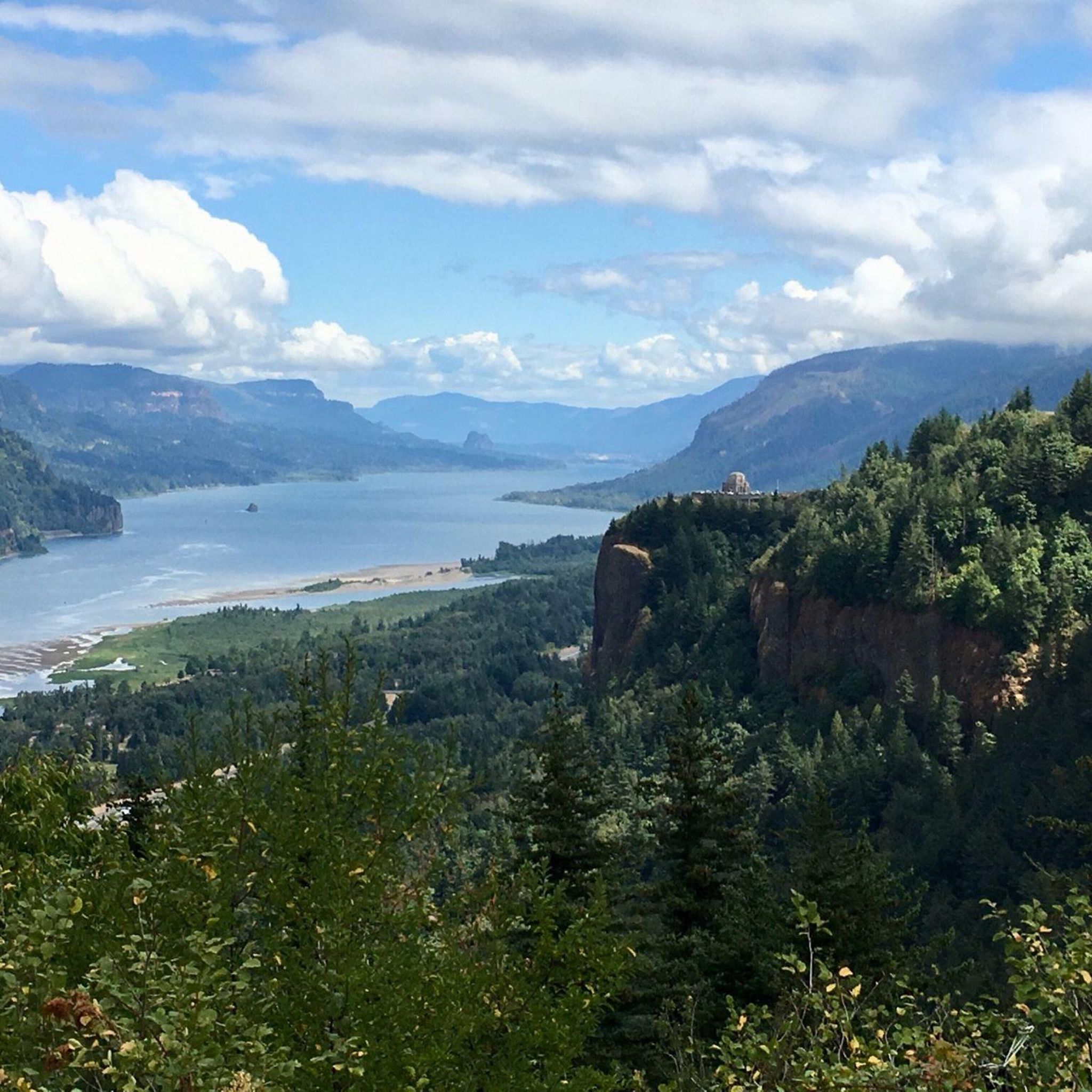
Touring cycling in George W. Joseph State Park is situated within the scenic Columbia River Gorge, an area known for its diverse natural features. The region is characterized by dense timber stands, lush undergrowth, and significant elevation changes, offering challenging routes for touring cyclists. While the Natural Area itself features hiking trails, the surrounding Columbia River Gorge provides access to the Historic Columbia River Highway State Trail, which includes paved, car-free sections. This broader landscape encompasses winding roads through forests,…
Last updated: July 12, 2026
15
riders
55.3km
03:40
740m
740m
Hard bike ride. Very good fitness required. Mostly paved surfaces. Suitable for all skill levels.
14
riders
44.2km
02:22
640m
640m
Hard bike ride. Very good fitness required. Mostly paved surfaces. Suitable for all skill levels.

Sign up for free
2
riders
49.0km
02:37
740m
740m
Hard bike ride. Very good fitness required. Mostly paved surfaces. Suitable for all skill levels.
12
riders
80.3km
05:34
1,410m
1,410m
Hard bike ride. Very good fitness required. Mostly paved surfaces. Suitable for all skill levels.
2
riders
Hard bike ride. Very good fitness required. Mostly paved surfaces. Suitable for all skill levels.
Our route recommendations are based on thousands of hikes, rides, and runs completed by other people on komoot.
Start today with a free account
Your next adventure awaits.
Login or Signup
Popular around George W. Joseph State Park

Tips from the Community

Restroom in the 1920s building, water refill station, salmon hatchery tours.
0
0

Here's a perfect spot to take a break, park your bike, and walk up the trail for an excellent view of both Lower and Upper Multnomah Falls.
1
0

This is a great climb on a quiet, lightly trafficked road to the summit of Larch Mountain. Take a jacket for the long descent as it can get cold on the way down even on a warm day!
0
0

Sunrise City Park spans 15.76 acres and is accessible from Hensley Road to the west, 21st Street to the east, and via two access points through Hampton Point Subdivision. Dogs are welcome to be walked here on a leash. Bikers can travel this half-mile paved path featuring a 12-stop Health Trail outdoor fitness course. This park has great views of Mt. Hood and the Sandy River bluff from the park, a pond, and is often visited by monarch butteflies.
1
0
College Nature Park offers 62 acres of natural beauty adjacent to Mt. Hood Community College. Visitors can enjoy benches lining the pathways, ponds, and open grass areas. There are a few informational plaques around the park if visitors are interested in learning more about the area.
0
0

Tollbridge Park is located just a few yards from the famous Bridge of the Gods that spans over the Columbia River to connect the states of Oregon and Washington. There are restrooms and lots of shade if you want to take a break here.
1
0

Dabney State Recreation Area is a 138-acre park along the Sandy River. This area is a popular water recreation spot that has a sandy beach.
0
0

Sherrard Point is located close to the peak of Larch Mountain in Oregon. It provides a stunning vantage point, offering sweeping views of the Columbia River Gorge, Mount Hood, Mount Adams, and Mount St. Helens.
0
0
Frequently Asked Questions
What is the general difficulty level for touring cycling routes in the George W. Joseph State Park area?
Touring cycling routes in the George W. Joseph State Park area, particularly those utilizing the Historic Columbia River Highway State Trail, are generally considered difficult. They feature significant elevation gains and varied terrain, making them suitable for experienced touring cyclists seeking a challenge. For example, the Bridge of the Gods Ride includes over 600 meters of elevation gain.
Are there any circular touring cycling routes available?
Yes, the region offers circular touring cycling routes. A notable option is the Crown Point Loop, which is a difficult 30.4-mile (49.0 km) path providing scenic views of the Columbia River and passing by significant viewpoints along the Historic Columbia River Highway.
What kind of landscapes can I expect to see while touring cycling in this area?
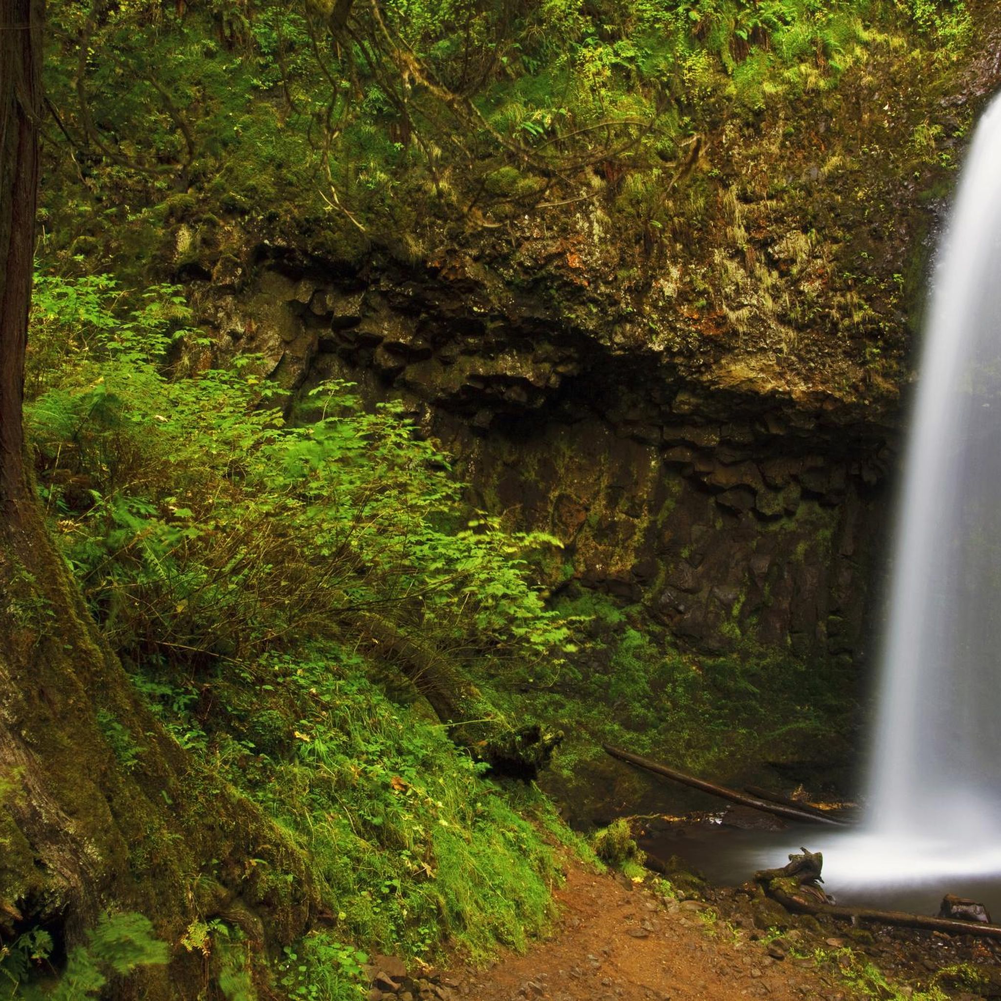
The touring cycling routes in the George W. Joseph State Park area are characterized by diverse and scenic landscapes. You'll experience dense timber stands, lush undergrowth, and winding roads through forests. The routes often provide breathtaking vistas of the Columbia River Gorge and pass by numerous iconic waterfalls, such as Latourell Falls, Wahkeena Falls, Horsetail Falls, and Bridal Veil Falls, especially along the Historic Columbia River Highway State Trail.
Are there any specific viewpoints or landmarks along the touring cycling routes?
Yes, the touring cycling routes offer several notable viewpoints and landmarks. The Historic Columbia River Highway State Trail itself is an engineering marvel with historic tunnels and viaducts. Routes like the Crown Point Loop specifically highlight views of the Columbia River and pass by significant viewpoints, including Crown Point itself. The George W. Joseph State Natural Area also provides access to the rarely visited Upper Latourell Falls via hiking trails.
What is the best time of year to go touring cycling in the George W. Joseph State Park region?
The Columbia River Gorge region, including George W. Joseph State Park, is generally best for touring cycling during the spring, summer, and fall months. These seasons offer more predictable weather, allowing for better enjoyment of the scenic views and waterfalls. Winter can bring colder temperatures and potential for rain or snow, which may impact trail conditions, especially on higher elevation sections.
Can I bring my dog on the touring cycling routes?
While the George W. Joseph State Natural Area itself is primarily a hiking destination, and specific rules for dogs on cycling trails can vary, the broader Columbia River Gorge region and the Historic Columbia River Highway State Trail are generally dog-friendly. However, it's always recommended to check specific regulations for each park or trail section you plan to visit, and ensure your dog is leashed and well-behaved.
Are there options for family-friendly touring cycling in the area?
While many of the touring cycling routes directly associated with George W. Joseph State Park are rated as difficult due to significant elevation changes, the broader Historic Columbia River Highway State Trail offers sections that might be more suitable for families. Portions of this trail are car-free and paved, providing a safer and more relaxed environment. E-bikes are also permitted, which can make the routes more accessible for a wider range of cyclists.
What kind of facilities or amenities are available near the touring cycling routes?
The Columbia River Gorge region, which encompasses George W. Joseph State Park, offers various amenities. Along the Historic Columbia River Highway State Trail, you'll find access to several state parks, which may include restrooms and picnic areas. Nearby towns and communities in the Gorge provide options for cafes, restaurants, and accommodation, catering to visitors exploring the area.
How many touring cycling routes are available in the George W. Joseph State Park area?
There are several touring cycling routes available in the George W. Joseph State Park area. Komoot features at least four distinct routes, all rated as difficult, offering challenging rides through the scenic Columbia River Gorge. These routes are popular among experienced touring cyclists.
Is public transport available to access the touring cycling routes?
Public transport options to directly access specific touring cycling routes within George W. Joseph State Park may be limited. However, the broader Columbia River Gorge region has some public transport services that connect various towns and attractions. It's advisable to research specific bus routes or shuttle services in the Columbia River Gorge that might facilitate access to trailheads or starting points for your cycling tour.
What are the longest touring cycling routes in the George W. Joseph State Park area?
One of the longer touring cycling routes in the area is the Chanticleer Point – Chanticleer Point loop from Cleveland Avenue, which spans 34.0 miles (54.8 km) and involves substantial climbs. Another extensive option is the Chanticleer Point – Springwater Corridor loop from Clackamas Town Center Transit Center, covering approximately 73 miles (117.7 km) with over 1500 meters of elevation gain.
Can I expect to see waterfalls directly from the touring cycling routes?
Yes, touring cycling in the George W. Joseph State Park area, particularly along the Historic Columbia River Highway State Trail, offers direct views and close proximity to several iconic waterfalls. You can expect to see waterfalls such as Latourell Falls (Lower Falls), Wahkeena Falls, Horsetail Falls, and Bridal Veil Falls, which are often visible from or easily accessible just off the cycling path.
Most popular routes in George W. Joseph State Park

Get inspired with the komoot mobile app


Explore more
Browse the best Cycling routes in other regions.
