The best MTB trails in Brushy Peak Regional Park
4.0
(2)
65
riders
7
rides
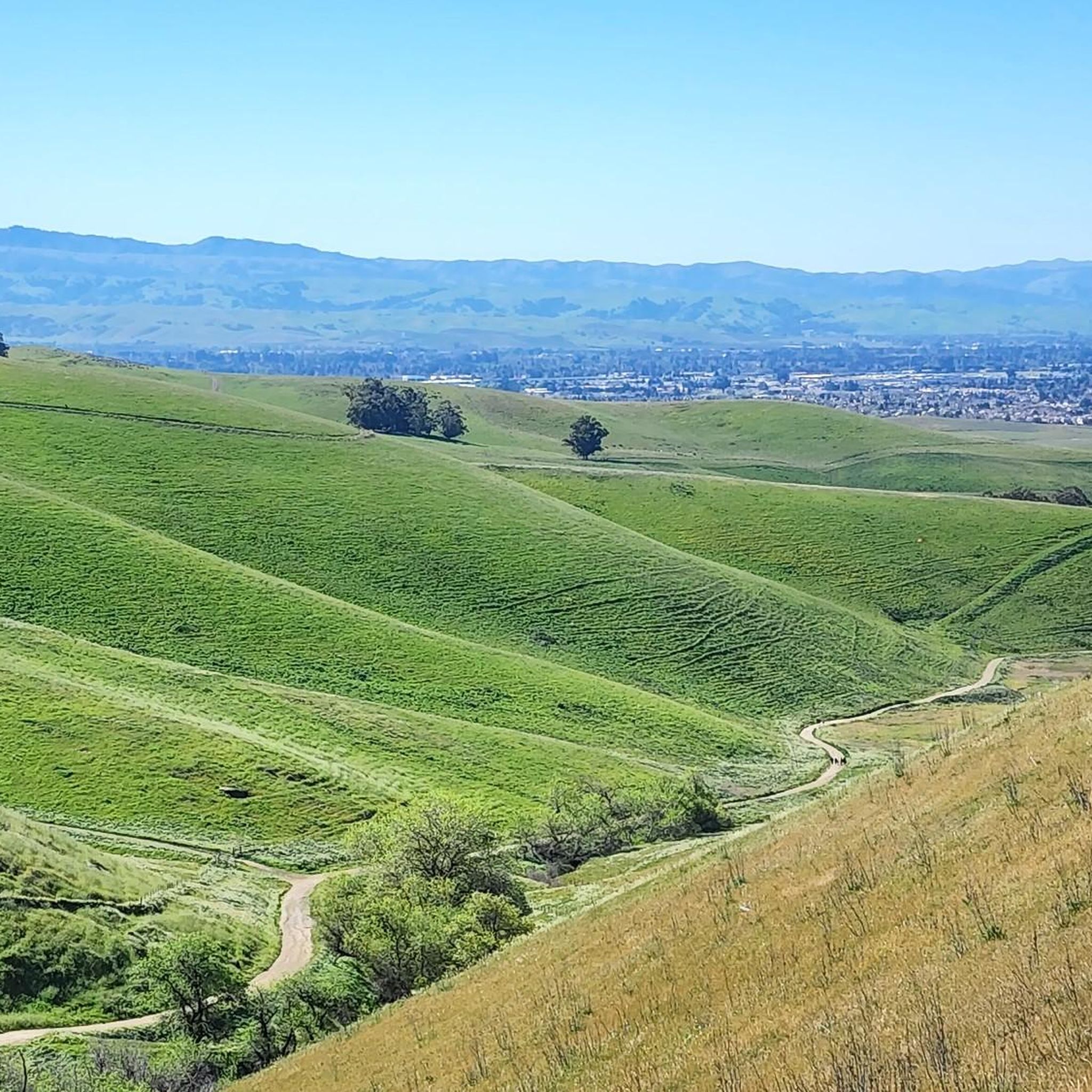
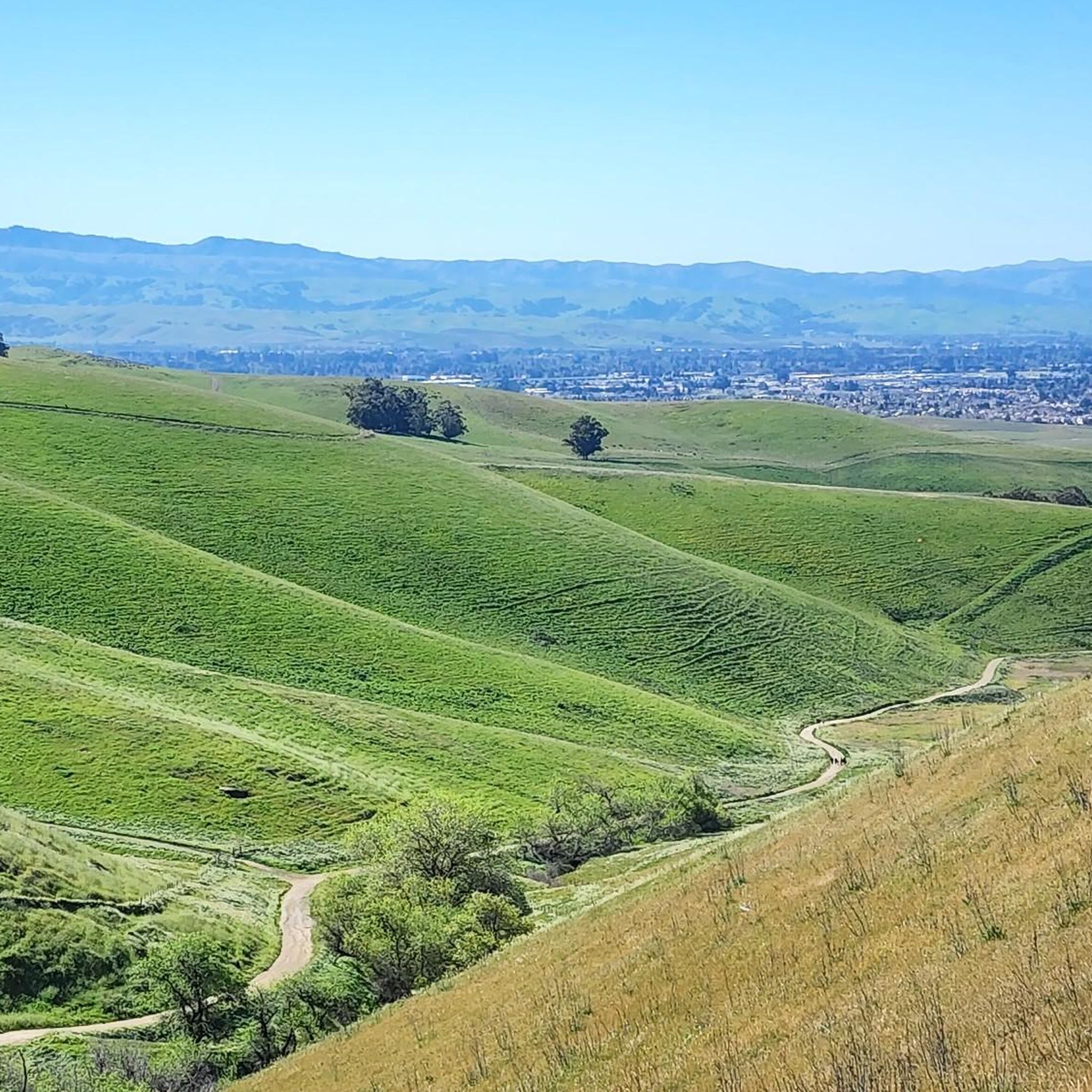
Mountain biking in Brushy Peak Regional Park offers a diverse landscape for riders. The park features rolling hills and open grasslands, providing a mix of terrain for various skill levels. Trails often traverse oak woodlands and offer views of the surrounding Livermore Valley. The area is characterized by its natural beauty and varied elevation changes, making it suitable for both leisurely rides and more challenging excursions.
Best mountain bike trails in Brushy Peak Regional Park
- The most popular mountain bike…
Last updated: October 11, 2026
5.0
(1)
6
riders
24.5km
01:54
370m
370m
Moderate mountain bike ride. Good fitness required. Advanced riding skills necessary.
9
riders
26.3km
01:50
290m
290m
Easy mountain bike ride. Great for any fitness level. Suitable for all skill levels.

5
riders
41.8km
02:22
160m
160m
Moderate mountain bike ride. Good fitness required. Suitable for all skill levels.
7
riders
33.9km
02:23
480m
480m
Moderate mountain bike ride. Good fitness required. Suitable for all skill levels.
6
riders
28.3km
02:04
380m
380m
Moderate mountain bike ride. Good fitness required. Suitable for all skill levels.
Get access to more routes and recommendations from other explorers.
Already have an account?
Our route recommendations are based on thousands of hikes, rides, and runs completed by other people on komoot.
Start today with a free account
Your next adventure awaits.

Tips from the Community

There is a paved foot & bike path that runs straight through the park to Arroyo Road, though I am not sure if it actually has an exit onto the road. It continues further into Veterans Park. Of the gravel trails some are closed to bikes for nature preservation reasons. Others allow for a (mostly) easy gravel ride.
0
0
Plenty of options for dining and refreshments along First Street and its surrounding streets.
0
0

Very pleasant creekside dedicated bike trail. Well paved and flat, it connects with Iron Horse Trail and its wider trail system.
1
0

This multi-use trail runs through several neighborhoods in south Livermore sunning parallel to the Arroyo Mocho creek. There are paved and dirt sections to the trail and in this section crosses a bridge over Arroyo Mocho.
0
0

Altamont Creek Park is a 6.9-acre park with multiple paved multi-use paths and a playground. The park offers public restrooms and water fountains as well as sports fields.
0
0

You might just catch a good look at Winery Pond from this trail. It's a handy landmark near the Winery Loop trail, although much like the rest of Sycamore Grove Park, you shouldn't expect much shade here.
0
0

Livermore is California's oldest wine region and lies as the easternmost city in the San Francisco Bay Area. This city boasts a historic downtown with shopping, dining, and entertainment.
1
0
Livermore is California's oldest wine region and lies as the easternmost city in the San Francisco Bay Area. This city boasts a historic downtown with shopping, dining, and entertainment.
0
0
Frequently Asked Questions
What types of mountain bike trails are available in Brushy Peak Regional Park?
Brushy Peak Regional Park offers a mix of easy and moderate mountain bike trails. You'll find routes that traverse rolling hills, open grasslands, and oak woodlands, suitable for various skill levels. Currently, there are no difficult trails listed in the park.
Are there any easy mountain bike trails suitable for beginners in Brushy Peak Regional Park?
Yes, Brushy Peak Regional Park has several easy mountain bike trails perfect for beginners. An example is the Sycamore Grove Park – Sycamore Grove Park loop from Livermore, which is 16.8 miles (27.1 km) long and features gentle climbs and scenic views.
How long do mountain bike rides typically take in Brushy Peak Regional Park?
The duration of mountain bike rides in Brushy Peak Regional Park varies by trail and rider pace. For instance, an easy 16.8-mile (27.1 km) route like the Sycamore Grove Park – Sycamore Grove Park loop from Livermore typically takes around 1 hour and 51 minutes to complete. Moderate routes of similar distances often take about 2 hours.
Are there any loop mountain bike trails in Brushy Peak Regional Park?
Yes, loop trails are a popular option in Brushy Peak Regional Park. The Sycamore Grove Park – Sycamore Grove Park loop from Livermore is a well-known example, offering a circular route through the park's diverse terrain.
What can I see along the mountain bike trails in Brushy Peak Regional Park?
Along the mountain bike trails, you can explore various natural features and trails. Notable highlights include the Tamcan Trail, Laughlin Loop Trail, and the Brushy Peak Loop Trail, which offer scenic views and a chance to experience the park's unique landscape.
What is the best season for mountain biking in Brushy Peak Regional Park?
Brushy Peak Regional Park is known for its open grasslands and rolling hills, which can be quite exposed. Spring and fall generally offer the most pleasant conditions for mountain biking, with milder temperatures. Summers can be hot, and winters may bring rain, affecting trail conditions.
What do other mountain bikers enjoy most about the trails in Brushy Peak Regional Park?
The komoot community rates the mountain bike trails in Brushy Peak Regional Park with an average score of 3.0 stars. Riders often appreciate the park's diverse landscape, which includes rolling hills, open grasslands, and oak woodlands, providing a varied riding experience for different skill levels.
Are there any scenic overlooks or viewpoints accessible by mountain bike in Brushy Peak Regional Park?
The trails in Brushy Peak Regional Park often provide scenic views of the surrounding Livermore Valley and the park's natural environment. While specific named overlooks aren't detailed, the varied elevation changes and open sections of trails offer numerous opportunities for panoramic vistas.
What are the typical trail conditions like in Brushy Peak Regional Park?
The trails in Brushy Peak Regional Park traverse rolling hills, open grasslands, and oak woodlands. Conditions can vary with weather; dry periods might lead to dusty trails, while rain can make them muddy. It's always advisable to check local park advisories for current conditions before heading out.
Are there facilities like restrooms or parking available at the trailheads in Brushy Peak Regional Park?
Brushy Peak Regional Park typically provides parking areas for visitors. While specific details on restrooms at every trailhead are not available, regional parks usually offer basic facilities. It's recommended to check the official park website or signage upon arrival for exact locations of amenities.
Can I spot wildlife while mountain biking in Brushy Peak Regional Park?
Brushy Peak Regional Park is home to various wildlife due to its natural environment of grasslands and oak woodlands. While mountain biking, you might encounter local birds, small mammals, and other native species. Maintaining a respectful distance and observing quietly will enhance your chances of spotting wildlife.
Most popular routes in Brushy Peak Regional Park
Most popular attractions in Brushy Peak Regional Park

Get inspired with the komoot mobile app


Explore more
Browse the best MTB trails in other regions.
