The best cycling routes in Mulholland Open Space Preserve
4.8
(121)
1,848
riders
49
rides
Touring cycling routes in Mulholland Open Space Preserve are located on the boundary of Orinda and Moraga, encompassing 250-260 acres of natural space. The preserve features varied terrain, including significant portions with paved surfaces and old roadbeds, making it suitable for touring cyclists. It offers views of the valley, Mount Diablo, the East Bay hills, and the Diablo Range. The area includes hills under 200m and diverse natural features.
Best touring cycling routes in Mulholland Open Space Preserve
- The most…
Last updated: July 1, 2026
4
riders
17.1km
01:08
270m
270m
Moderate bike ride. Good fitness required. Mostly paved surfaces. Suitable for all skill levels.
7
riders
32.4km
02:09
520m
520m
Hard bike ride. Very good fitness required. Mostly paved surfaces. Suitable for all skill levels.

Sign up for free
7
riders
11.6km
00:42
100m
100m
Easy bike ride. Great for any fitness level. Mostly paved surfaces. Suitable for all skill levels.
8
riders
9.14km
00:33
50m
50m
Easy bike ride. Great for any fitness level. Mostly paved surfaces. Suitable for all skill levels.
4.7
(11)
44
riders
28.0km
01:45
270m
270m
Moderate bike ride. Good fitness required. Mostly paved surfaces. Suitable for all skill levels.
Get access to more routes and recommendations from other explorers.
Sign up for free
Already have an account?
Our route recommendations are based on thousands of hikes, rides, and runs completed by other people on komoot.
Start today with a free account
Your next adventure awaits.
Login or Signup
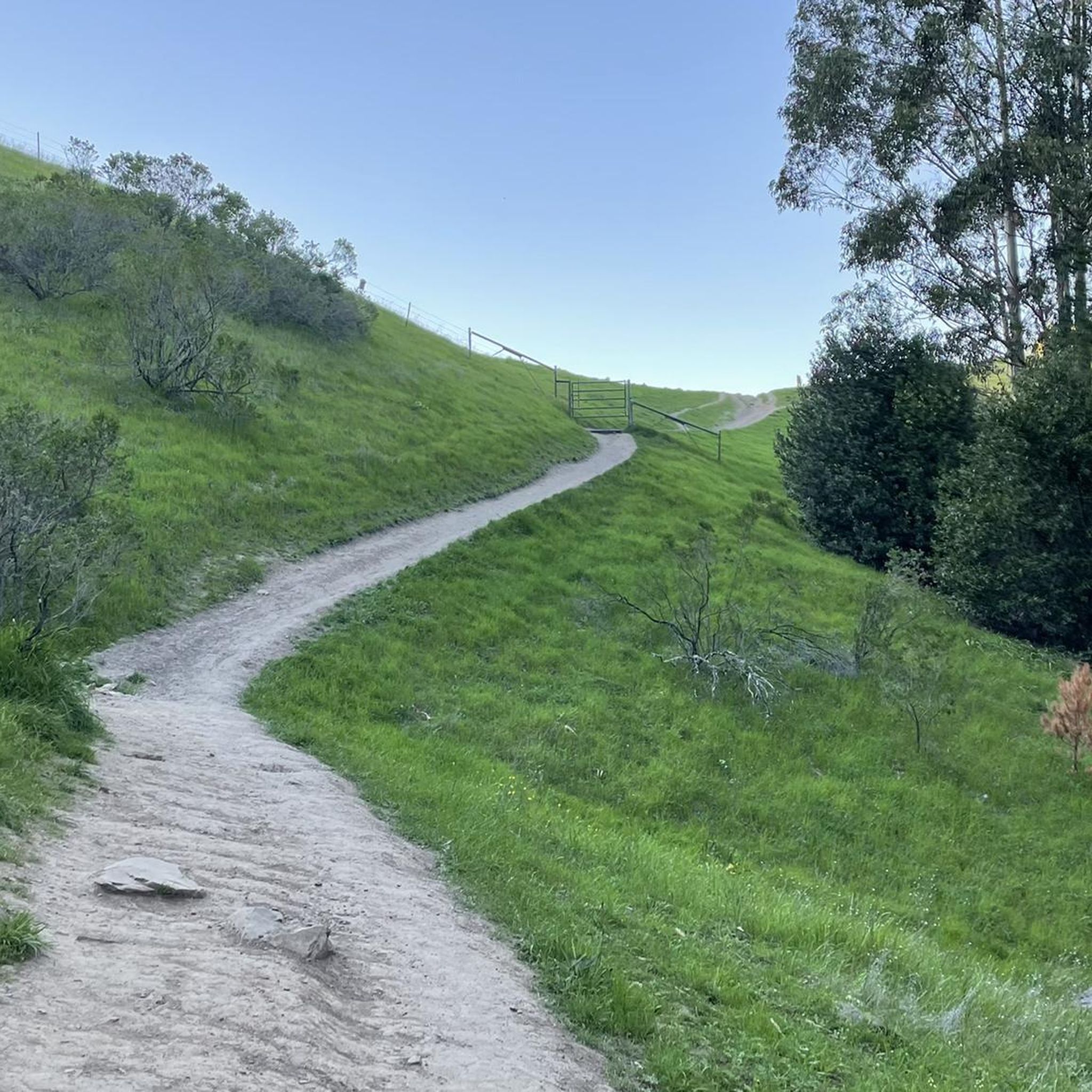
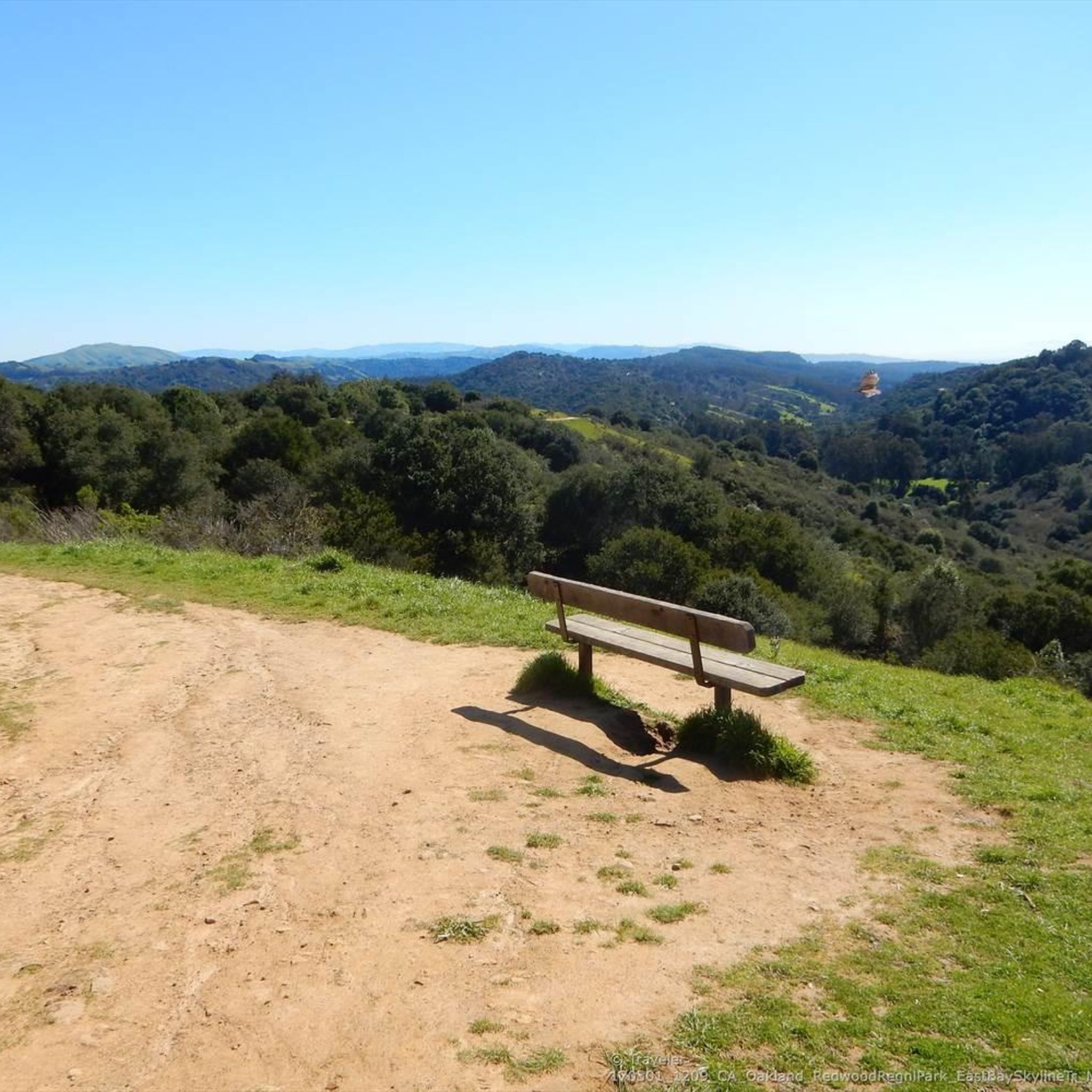
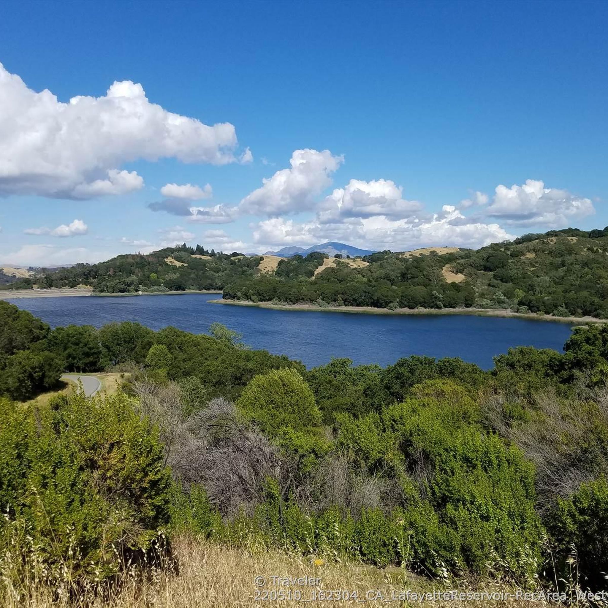
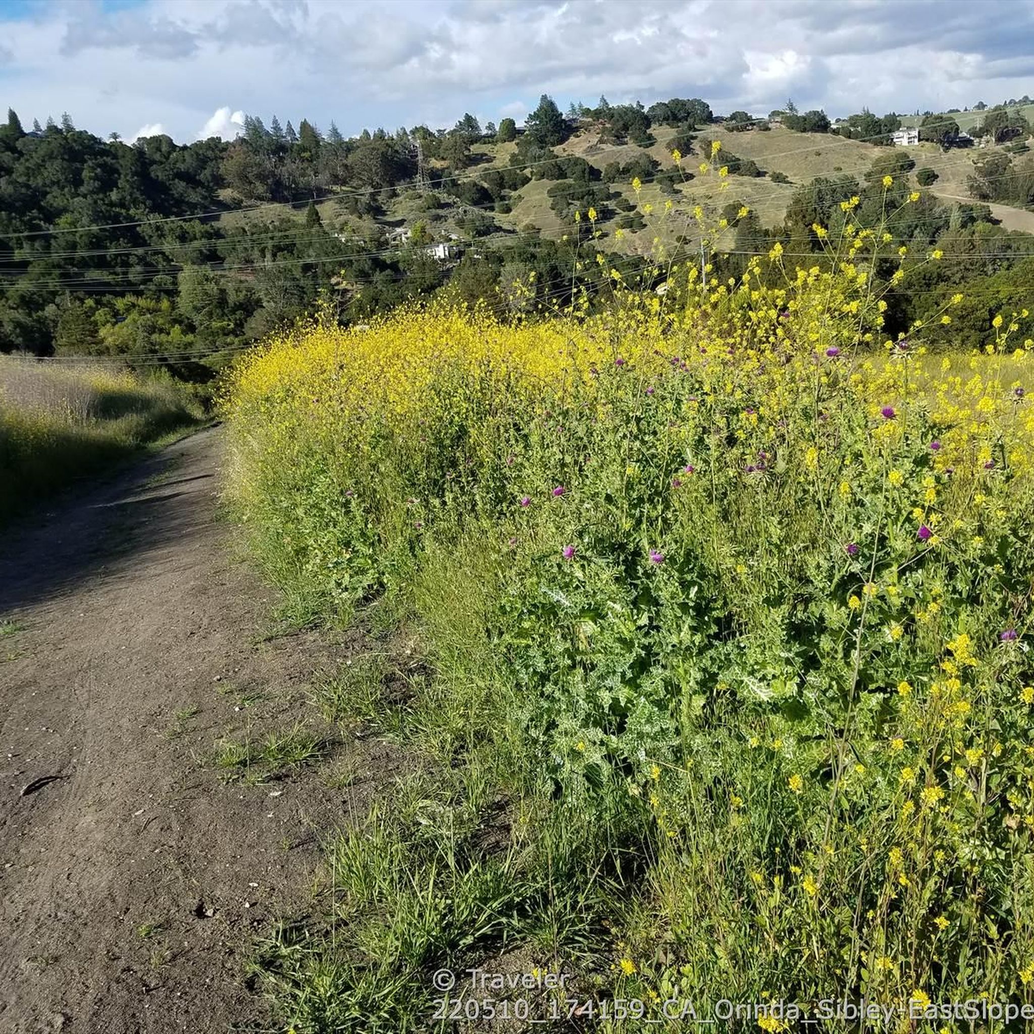

Tips from the Community

This pretty little brick walkway wanders through a tunnel of shops, restaurants, and businesses around Orinda Theater. The awnings and aerial walkways lend the feeling of an old bustling medieval city.
0
0

One of the nastiest downhills I ever rode, the road is in terrible condition and car drivers where cutting corners at pretty decent speeds. Very beautiful though, would defnitely recommend as an uphill (north to south)
1
0

The Lamorinda Trail Loop has an interesting beginning. Initially the three communities of Lafayette, Orinda and Moraga convened a committee to look at connecting themselves via trails. However, upon looking closely at existing trails they discovered a trail route already existed through the three cities and they simply need to raise funds for signage along the route. After placing the signs designating the route the trail was officially opened on August 10th, 2006.
0
0

By this spot on the Lafayette-Moraga Regional Trail, also known as the Lafayette-Moraga Regional Trail, the Las Trampas and Grizzly Creeks merge. Near this spot you can also access Burton Valley, a small neighborhood in Lafayette.
0
0
Lafayette is a city in Contra Costa County, California, with a population of 25,391 as of 2020. Named after the Marquis de Lafayette, a French officer in the American Revolutionary War, landmarks include the Lafayette Library and Learning Center, Oakmont Memorial Park, and the Cross of Lafayette Memorial, a somewhat controversial tribute to U.S. soldiers who died in Iraq. Lafayette is also home to the historic Park Theater, which closed in 2005 but is currently being considered for reopening. This is a great town to pass through, or start and/or end a ride.
0
0

This view of Bear Creek lets bikers peer down into the Bear Creek section of the Briones Reservoir, which has two sources for its water, one source is local and one source is imported.
0
1

Great overlook of the reservoir, along the road as unfortunately the trail around the lake is closed to bikes.
0
0
Nice shaded view from the bridge across the creek that fills the San Pablo reservoir, with the help of additional water piped in from Sierra Nevada reservoirs including Lake Comanche.
0
0
Frequently Asked Questions
What kind of terrain can I expect for touring cycling in Mulholland Open Space Preserve?
Mulholland Open Space Preserve offers varied terrain, with significant portions featuring paved surfaces, making it suitable for touring cyclists. You'll find a mix of gentle grades (3-5%) under tree canopies and steeper sections (12-15%) as you approach ridge lines and water towers. The old roadbed of Donald Drive, now closed to cars, provides a wilder path experience.
Are there any easy touring cycling routes suitable for beginners or families?
Yes, there are several easy routes. For instance, the Lafayette-Moraga Trail – Lamorinda Trail loop from Moraga is an easy 18.1 km path offering accessible cycling through local landscapes. Overall, the preserve has 6 routes rated as easy, providing options for those seeking a less strenuous ride.
What are the best routes for challenging touring cycling in the preserve?
For a more challenging ride, consider routes with significant elevation gain. The San Pablo Creek Bridge – Overlook - Briones Reservoir loop from Moraga is a difficult 31.1 km route with over 500 meters of elevation gain. Another option is the Redwood Grove – Pinehurst Road climb loop from Moraga, a 26.5 km trail with notable climbs, often completed in about 1 hour 45 minutes.
Are dogs allowed on the touring cycling trails in Mulholland Open Space Preserve?
Yes, Mulholland Ridge Open Space Preserve is dog-friendly. Dogs are permitted off-leash on paved portions of the trail, allowing your canine companion to join you on your touring cycling adventure.
What kind of views and natural features can I expect to see while cycling?
Cyclists can enjoy incredible panoramic views of the Moraga Valley, Mount Diablo, the East Bay hills, and the Diablo Range. The preserve is also home to diverse wildlife, including over 77 species of birds, and features large, old Monterey pine trees, coast live oaks, and coyote bush. You might even spot grazing cattle in certain areas.
Where can I park when visiting Mulholland Open Space Preserve for cycling?
The preserve is typically accessed near the Rheem Shopping Center. A common trailhead is at the Hacienda De Las Flores parking lot, which provides convenient access for cyclists.
Are there any amenities like restrooms or water available along the routes?
Yes, the preserve offers amenities such as garbage cans and running water near the water tower. Restrooms are also available at the nearby Hacienda de las Flores Park when the main building is open.
What do other touring cyclists enjoy most about the routes in Mulholland Open Space Preserve?
The routes in Mulholland Open Space Preserve are highly rated by the komoot community, with an average score of 4.8 stars from over 100 reviews. Reviewers often praise the combination of stunning panoramic views, the diverse trails with both paved and unpaved sections, and the presence of beautiful natural features like Monterey pine trees and coast live oaks.
Are there any circular touring cycling routes available?
Many of the touring cycling routes in Mulholland Open Space Preserve are loops. For example, the Moraga Commons Park loop from Moraga is a popular 17.1 km trail that offers a circular ride with a mix of paved sections and varied gradients.
What is the best time of year to go touring cycling in Mulholland Open Space Preserve?
While the preserve can be enjoyed year-round, the spring and fall often offer the most pleasant temperatures for cycling. During these seasons, the weather is typically mild, and the landscapes are vibrant, enhancing the scenic views. Summers can be warm, and winters may bring rain, so checking local weather forecasts is always recommended.
Are there any cafes or places to eat near the preserve?
Yes, Mulholland Open Space Preserve is located on the boundary of Orinda and Moraga, which are towns with amenities. You can find cafes and pubs near the Rheem Shopping Center, which is a common access point for the preserve, offering options for refreshments before or after your ride.
How many touring cycling routes are there in Mulholland Open Space Preserve?
There are over 50 touring cycling routes available in Mulholland Open Space Preserve, offering a wide variety of options for different skill levels and preferences. These include 6 easy routes, 26 moderate routes, and 20 difficult routes.
Can I reach Mulholland Open Space Preserve by public transport?
While direct public transport access to the trailheads might be limited, the preserve is situated between Orinda and Moraga. You can research local bus services in these areas to see if they offer connections close enough to the preserve's access points, such as near the Rheem Shopping Center.
Most popular routes in Mulholland Open Space Preserve

Get inspired with the komoot mobile app


Explore more
Browse the best Cycling routes in other regions.
