The best running trails in San Pedro Mountain Open Space Preserve
3.5
(2)
471
runners
64
runs
Jogging in San Pedro Mountain Open Space Preserve offers a variety of routes across diverse terrain. The region features rolling hills, shoreline paths, and ridge trails, providing varied elevation changes and scenic views. Trails often traverse open meadows and forested sections, making it a suitable location for different running preferences.
Best jogging routes in San Pedro Mountain Open Space Preserve
- The most popular jogging route is Gold Hill Grade and Nike Missile Site Loop, a 6.9 miles (11.2 km) trail that takes 1 hour 51 minutes to complete. This difficult route includes significant climbs and offers panoramic views from higher elevations.
- Another top favourite among local runners is Shoreline and Bay View Trail Loop, a moderate 8.1 miles (13.0 km) path. This route follows the shoreline, providing expansive bay views and a mix of flat and gently rolling terrain.
- Local runners also love the Miwok Meadows – China Camp State Park loop from Santa Venetia, an 8.9 miles (14.3 km) trail leading through meadows and parkland, often completed in about 1 hour 41 minutes.
- Jogging in San Pedro Mountain Open Space Preserve is defined by hills, shoreline paths, and open meadows. The network offers options for different ability levels, from easy jogging routes to more challenging climbs.
- The routes in San Pedro Mountain Open Space Preserve are highly rated by the komoot community with an average score of 3.7 stars from over 5 reviews. More than 500 runners have used komoot to explore San Pedro Mountain Open Space Preserve's varied terrain.
Last updated: July 7, 2026
1
runners
11.2km
01:51
620m
620m
Jog the difficult 7.0-mile Gold Hill Grade and Nike Missile Site Loop, gaining 2045 feet with views of Mount Tamalpais.
39
runners
13.0km
01:32
280m
280m
The Shoreline and Bay View Trail Loop offers a varied jogging experience through China Camp State Park. You'll cover 8.1 miles (13.0 km) on this moderate route, gaining 918 feet (280 metres) in elevation. Expect to spend around 1 hour and 31 minutes enjoying the diverse scenery. The trail winds through shaded bay laurel groves and oak-lined paths, providing a refreshing atmosphere. As you progress, you'll catch glimpses of San Pablo Bay, with a notable view of the Richmond Bridge appearing near the end of the Bay View Trail section.
When planning your visit, be aware there is a $5 parking fee to enter China Camp State Park. Alternatively, you can find free parking outside the park, though this comes with a $3 per person entrance fee. It's important to note that dogs are generally not allowed on the Shoreline Trail within the park, so plan accordingly if you have a canine companion. The route is popular with mountain bikers, so you should expect to share the path with others during your jog. Consider starting early to enjoy cooler temperatures and potentially fewer people on the trail.
This loop is set within China Camp State Park, an area rich in natural beauty and history. As you jog, you will pass through diverse scenery, including second-growth redwoods and oak-lined sections. Keep an eye out for various bird species, jackrabbits, and burrowing owls that inhabit the area. The mix of wooded sections and bay views makes this trail a distinctive option for a moderate jog in the region.

Sign up for free
21
runners
8.98km
01:07
120m
120m
Moderate run. Good fitness required. Mostly paved surfaces. Suitable for all skill levels.
18
runners
8.65km
01:04
100m
100m
Moderate run. Good fitness required. Mostly paved surfaces. Suitable for all skill levels.
14
runners
51.6km
06:48
1,820m
1,820m
Hard run. Very good fitness required. Mostly paved surfaces. Suitable for all skill levels.
Get access to more routes and recommendations from other explorers.
Sign up for free
Already have an account?
Our route recommendations are based on thousands of hikes, rides, and runs completed by other people on komoot.
Start today with a free account
Your next adventure awaits.
Login or Signup
Popular around San Pedro Mountain Open Space Preserve
Tips from the Community

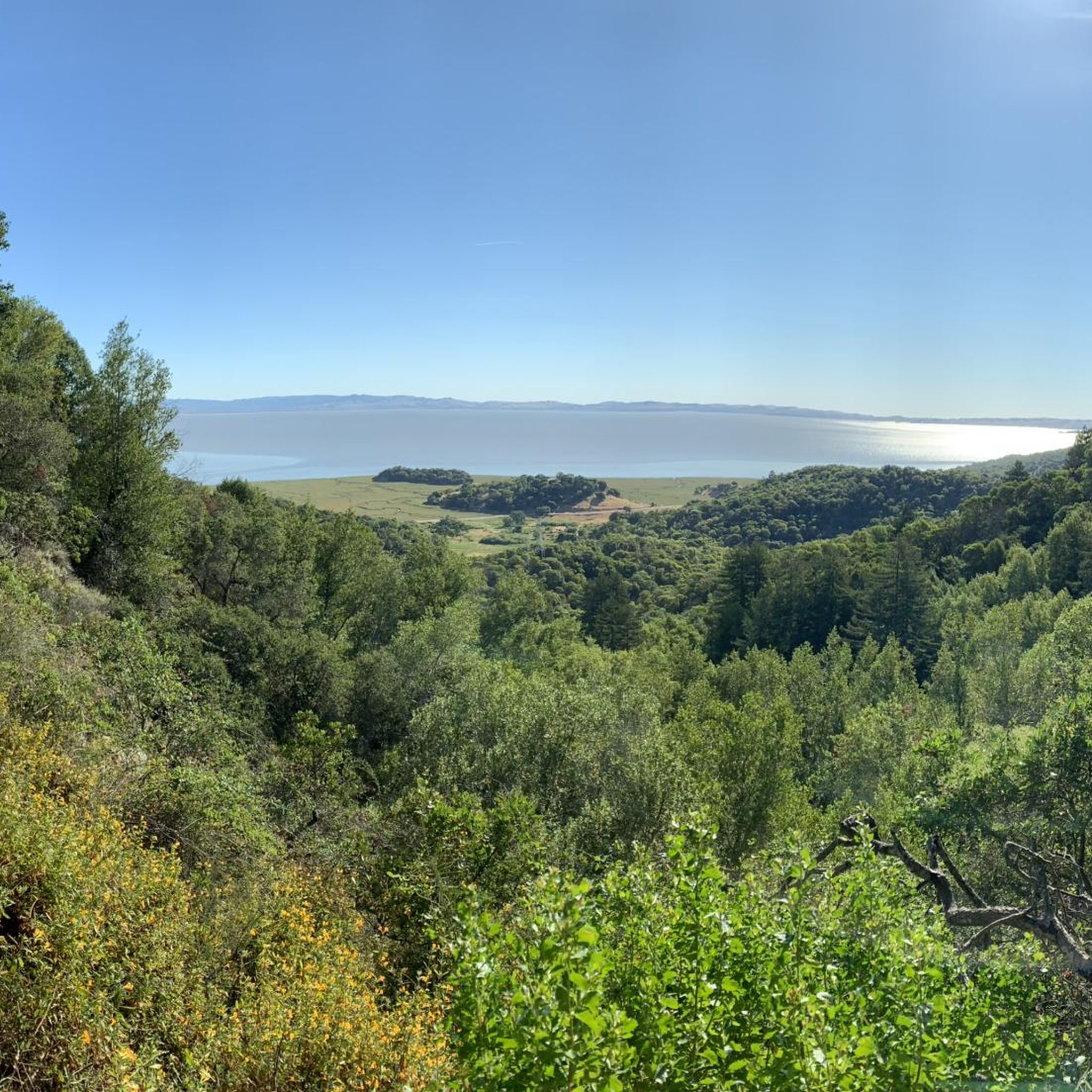
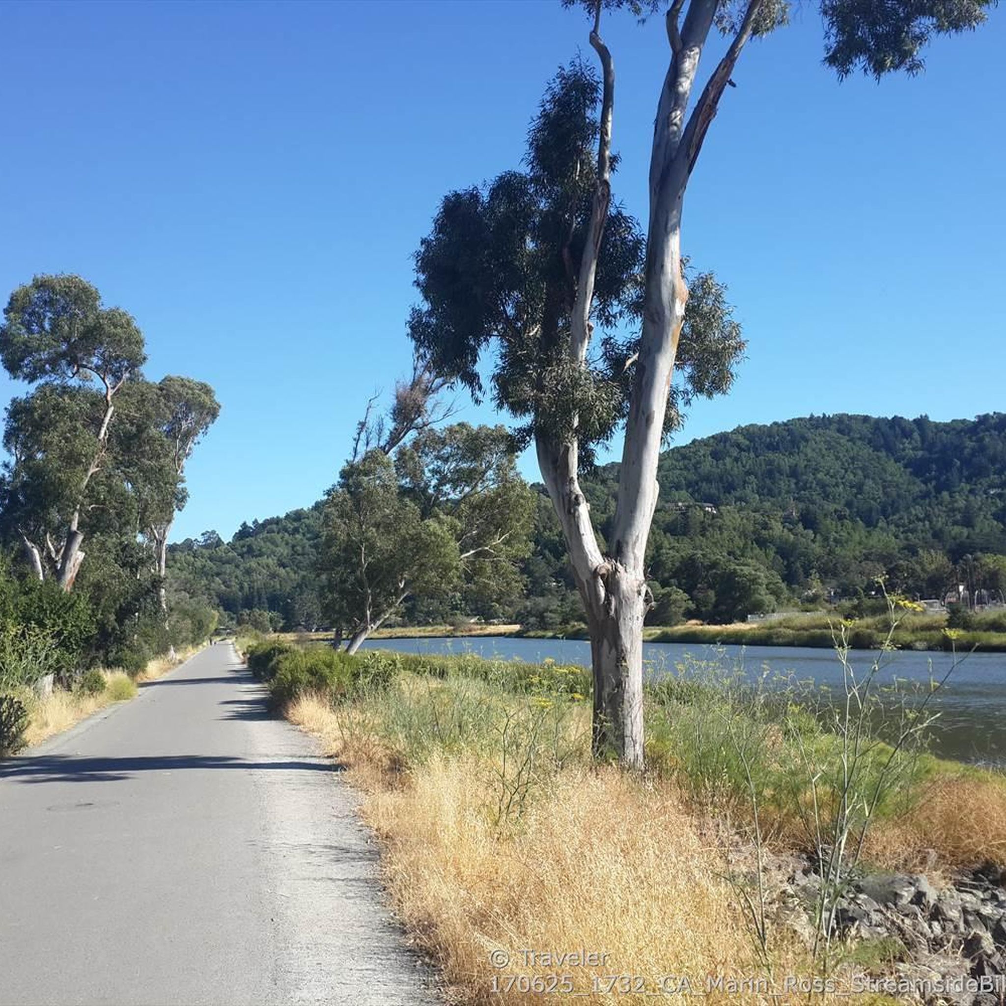
This area features a well-maintained trail that encircles Turtle Back, offering panoramic views of the San Pablo Bay area through grasslands, salt marsh, and shady oak. Abundant wildlife inhabits the surroundings, so keep a lookout for various animals in the area.
0
0

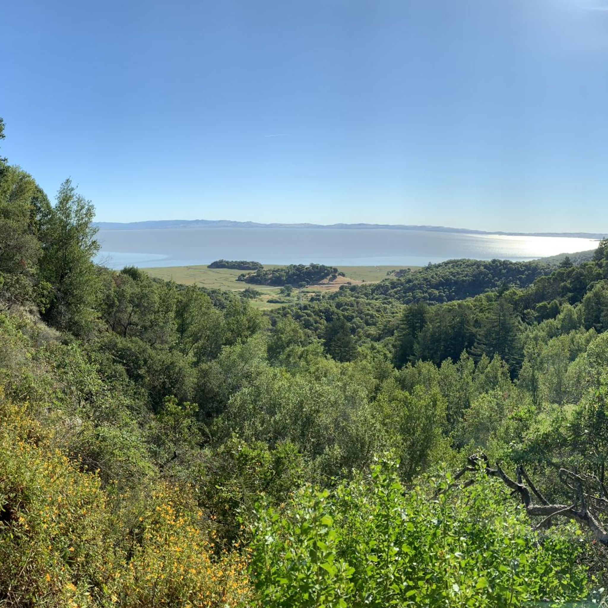
This multi-use trail winds through switchbacks, coastal hills and woodlands throughout the park. Several wildflower varieties line the path through madrone and coast live oak with great views of San Pablo Bay. Many trails connect to this route, offering multiple options for a short loop or an extended hike to explore the beautiful grounds.
0
0
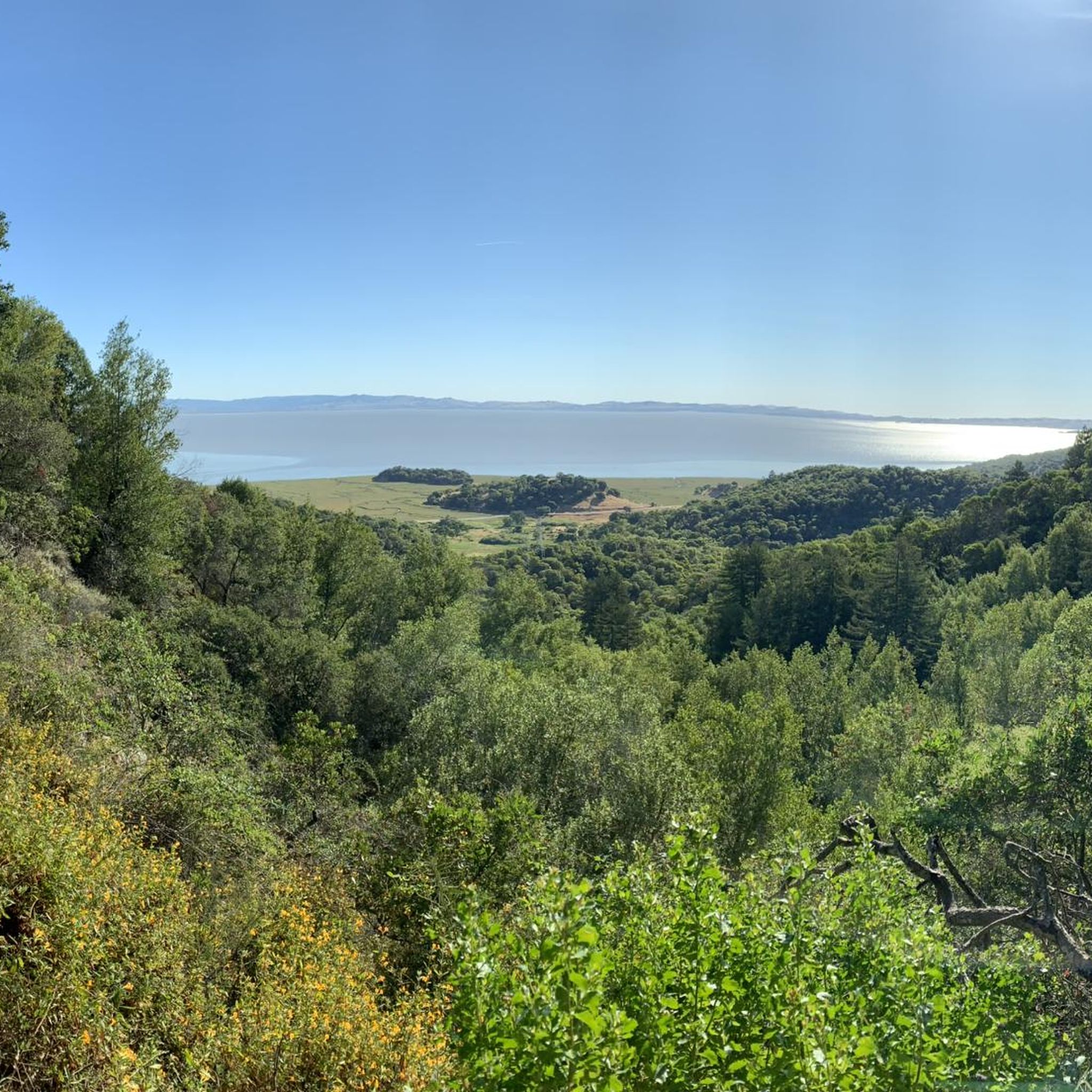
This trail runs most of the park's length near the San Pablo Bay shoreline and winds through its interior, with various options for short or long loops with plenty of connecting trails. If you are relatively quiet, you will see plenty of wildlife throughout the beautiful grounds, such as deer and turkeys. There are plenty of opportunities on the route to capture some photos of the gorgeous redwoods and excellent views of the Bay.
0
0

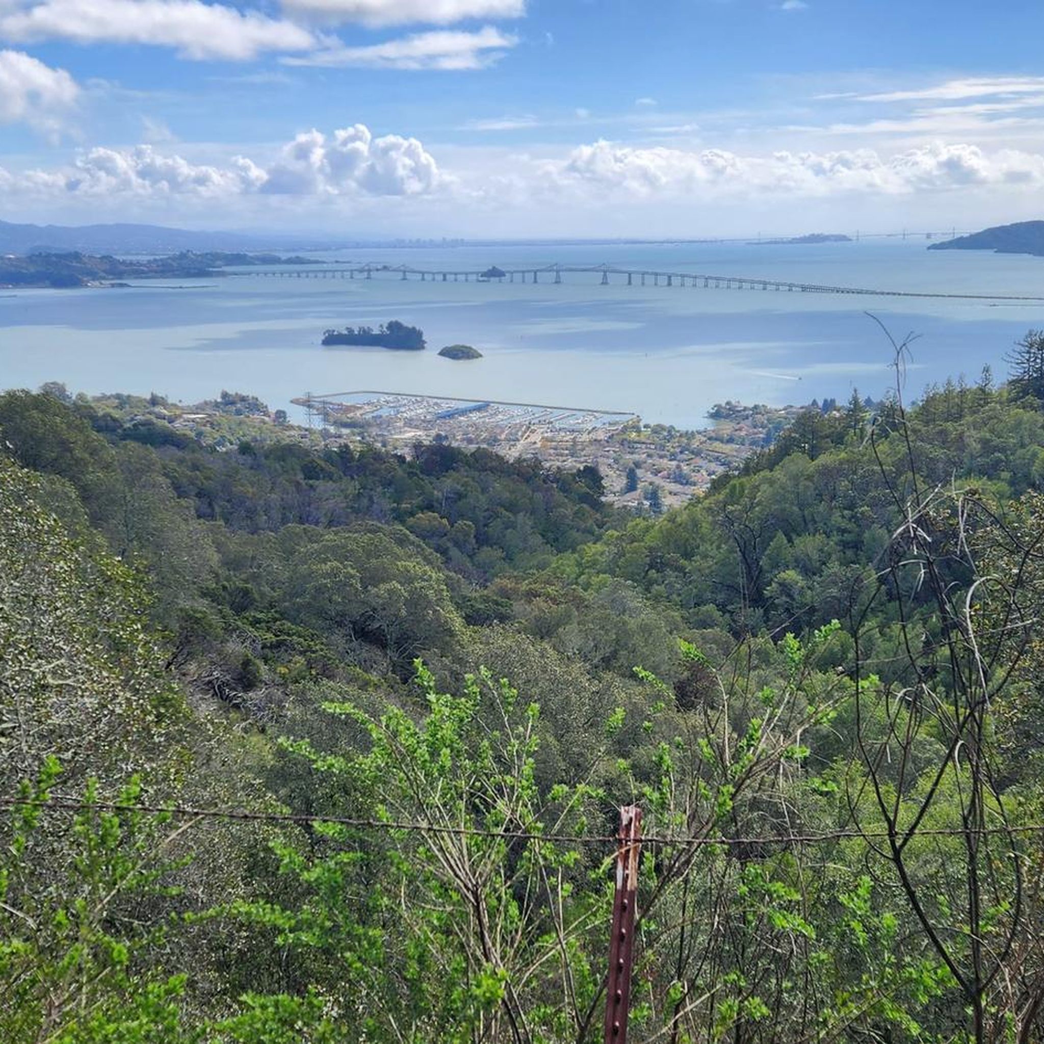
Big Rock Trail cuts through Lucas Valley Open Space to reach the 2nd highest point in Marin County. From later winter through early summer the hills are verdant green and often covered in wildflowers. Bring plenty of water and a wide brimmed hat if it's a warm day as there is little shade, but this means the views are wide open and beautiful.
0
0

China Camp State Park was set up around a historic Chinese-American fishing village located next to a salt marsh. It's a very scenic spot! Such a joy to ride here.
0
0
Miwok Meadows is a beautiful and tranquil place in the Park, surrounded by dark green bay trees and tall oaks. Flora and fauna are diverse, with well-maintained, easy trails to enjoy marsh meadows and bay views. Many turkeys, deer and other wildlife inhabit the area, making this place an excellent discovery area for kids to learn about nature.
0
0
The campground offers fantastic walk-in, tent-only campsites to spend the night in the Park and enjoy a peaceful retreat from the city. The sites are on a first-come, first-serve basis and include a picnic table, potable water, a fire ring and a wooden footlocker.
0
0
There is plenty of street parking at this trailhead, with the amazing Big Rock nearby to make it easy to spot. The Bay Area Ridge Trail runs along the ridgelines surrounding the San Francisco Bay area and spans over 500 miles of multi-use trails. This portion offers some of the best views of Marin and the city skyline.
0
0
Frequently Asked Questions
How many running routes are available in San Pedro Mountain Open Space Preserve?
There are over 60 running routes available in San Pedro Mountain Open Space Preserve, catering to various skill levels. You'll find a mix of easy, moderate, and difficult trails to explore.
Are there easy running routes suitable for beginners?
Yes, San Pedro Mountain Open Space Preserve offers several easy running routes perfect for beginners or those looking for a relaxed jog. While specific easy routes aren't detailed in the top picks, the preserve has 5 routes classified as easy, often featuring gentler terrain and shorter distances.
Can I bring my dog on the running trails in the preserve?
Many open space preserves in the Bay Area, including San Pedro Mountain Open Space Preserve, typically allow dogs on trails, often requiring them to be on a leash. It's always best to check specific signage at trailheads or the official preserve website for the most current regulations regarding pets.
Are there any circular running routes in San Pedro Mountain Open Space Preserve?
Yes, many of the running paths in the preserve are designed as loops, offering varied scenery without retracing your steps. For example, the Gold Hill Grade and Nike Missile Site Loop and the Shoreline and Bay View Trail Loop are popular circular options.
What kind of views can I expect on the running trails?
The running trails in San Pedro Mountain Open Space Preserve offer diverse and scenic views. You can expect panoramic vistas from higher elevations, especially on routes like the Gold Hill Grade and Nike Missile Site Loop. Other trails, such as the Shoreline and Bay View Trail Loop, provide expansive bay views and coastal scenery.
Is San Pedro Mountain Open Space Preserve suitable for family runs?
Yes, the preserve can be suitable for family runs, especially on its easier and moderate trails. The varied terrain, including open meadows and shoreline paths, offers engaging environments for different ages. Consider routes with less elevation gain for a more family-friendly experience.
Where can I park when visiting San Pedro Mountain Open Space Preserve?
Parking is typically available at designated trailheads and access points around San Pedro Mountain Open Space Preserve. Specific parking areas can vary depending on which part of the preserve you plan to access. It's advisable to check maps or local information for the most convenient parking for your chosen route.
How can I get to San Pedro Mountain Open Space Preserve using public transport?
Public transport options to San Pedro Mountain Open Space Preserve may be limited, as is common for many open space preserves. While some bus routes might serve areas near the preserve's perimeter, direct access to trailheads often requires a car. Checking local transit authority websites for routes serving San Rafael or nearby communities would be the best approach.
What is the best time of year to go running in San Pedro Mountain Open Space Preserve?
The best time of year for running in San Pedro Mountain Open Space Preserve is generally during the spring and fall. These seasons offer milder temperatures and less chance of extreme heat or heavy rain, making for more comfortable conditions. Winter can also be pleasant, though trails might be muddy after rainfall. Summer mornings are ideal to avoid the heat.
Are there places to eat or get coffee after a run near the preserve?
While San Pedro Mountain Open Space Preserve itself is a natural area, the nearby communities, particularly San Rafael, offer various cafes, restaurants, and eateries where you can refuel and relax after your run. These options are typically a short drive from the preserve's access points.
What wildlife might I see while running in the preserve?
San Pedro Mountain Open Space Preserve is home to diverse wildlife. Runners might encounter various bird species, including raptors soaring overhead, as well as deer, rabbits, and other small mammals. Keep an eye out, especially during quieter times of the day, for a chance to observe local fauna in their natural habitat.
What do other runners say about the trails in San Pedro Mountain Open Space Preserve?
The trails in San Pedro Mountain Open Space Preserve are highly rated by the komoot community, with an average score of 3.7 stars from over 8 reviews. Runners often praise the varied terrain, from challenging climbs to scenic shoreline paths, and the rewarding panoramic views. The mix of open meadows and forested sections also contributes to a diverse running experience.
Are there any longer, more challenging runs for experienced runners?
Absolutely. For experienced runners seeking a challenge, San Pedro Mountain Open Space Preserve offers several difficult routes. The Bay Area Ridge Trailhead – Big Rock Ridge loop from Marin Civic Center, for instance, is a demanding 32 km (20 miles) trail with significant elevation gain, providing a strenuous workout and expansive views.
Most popular routes in San Pedro Mountain Open Space Preserve

Get inspired with the komoot mobile app


Explore more
Browse the best Running Trails & Routes in other regions.
