The best MTB trails in Ring Mountain Open Space Preserve
4.7
(191)
1,549
riders
91
rides
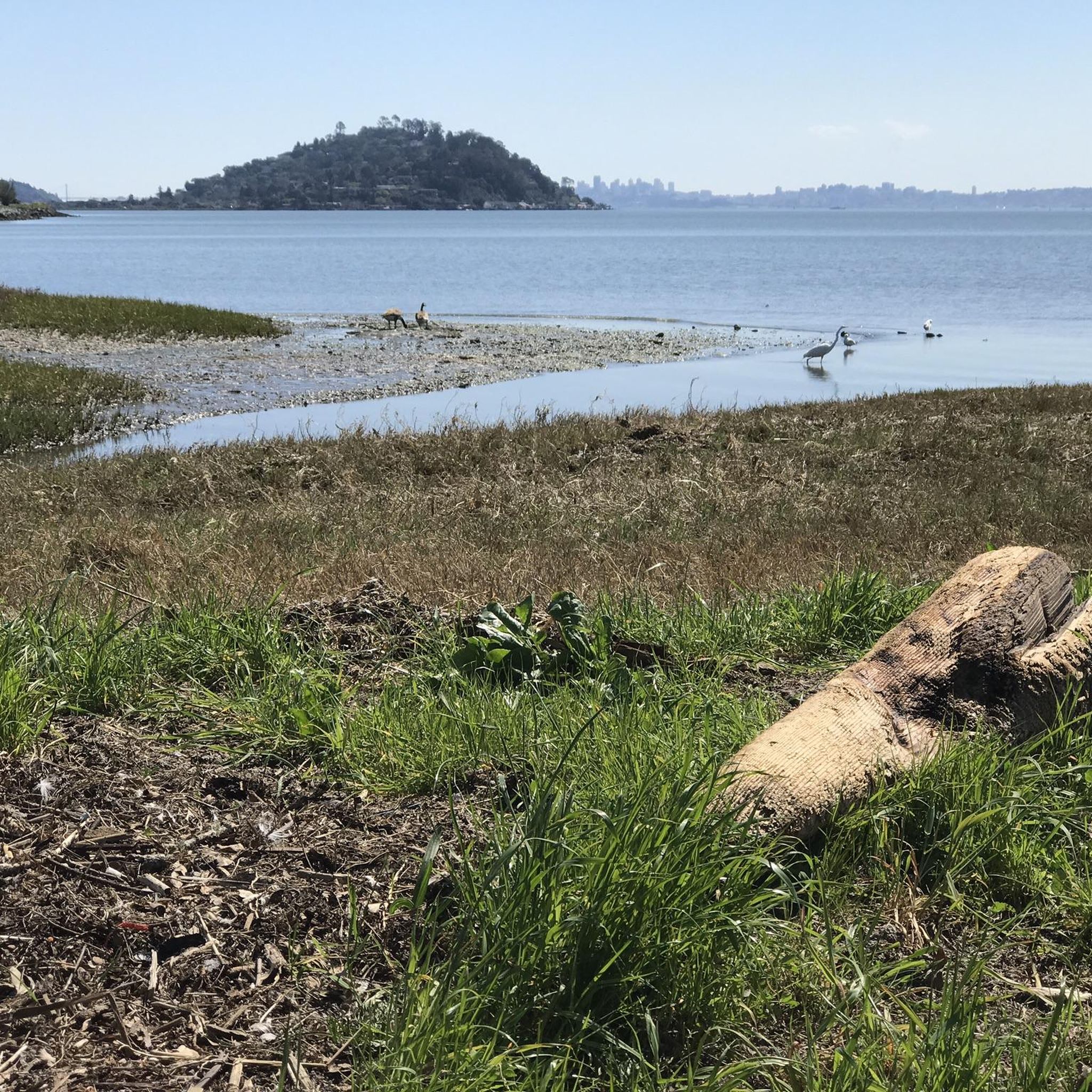
Mountain bike trails in Ring Mountain Open Space Preserve offer diverse terrain with significant elevation changes and panoramic views of the Bay Area. The preserve features grassy slopes, oak woodlands, and unique geological formations, including serpentine rock. Riders can expect a variety of surfaces, from fire roads to gravel sections, with some routes requiring good fitness or advanced skills. The landscape provides a dynamic backdrop for mountain biking, with expansive vistas and seasonal wildflower displays.
Best mountain bike trails in…
Last updated: August 19, 2026
5.0
(59)
37
riders
38.5km
03:22
850m
850m
Moderate mountain bike ride. Good fitness required. Suitable for all skill levels.
9
riders
35.6km
03:04
840m
840m
Moderate mountain bike ride. Good fitness required. Suitable for all skill levels.

Sign up for free
4.3
(3)
67
riders
43.3km
04:17
1,120m
1,120m
Hard mountain bike ride. Very good fitness required. Suitable for all skill levels.
5.0
(13)
58
riders
48.4km
04:37
1,340m
1,340m
Hard mountain bike ride. Very good fitness required. Suitable for all skill levels.
25
riders
18.3km
01:32
370m
370m
Moderate mountain bike ride. Good fitness required. Suitable for all skill levels.
Get access to more routes and recommendations from other explorers.
Sign up for free
Already have an account?
Our route recommendations are based on thousands of hikes, rides, and runs completed by other people on komoot.
Start today with a free account
Your next adventure awaits.
Login or Signup
Tips from the Community

The eponymous name of this hill mostly refers to the climb to this point from the beach about 1300 feet (400 meters) up. Deer Park Fire Road is actually reasonably gradual, following the ridgeline. Still, it is a good place for a rest, take in the views to the Pacific, and refill the water bottles at the water fountain, and read info panels about the recent history.
0
0
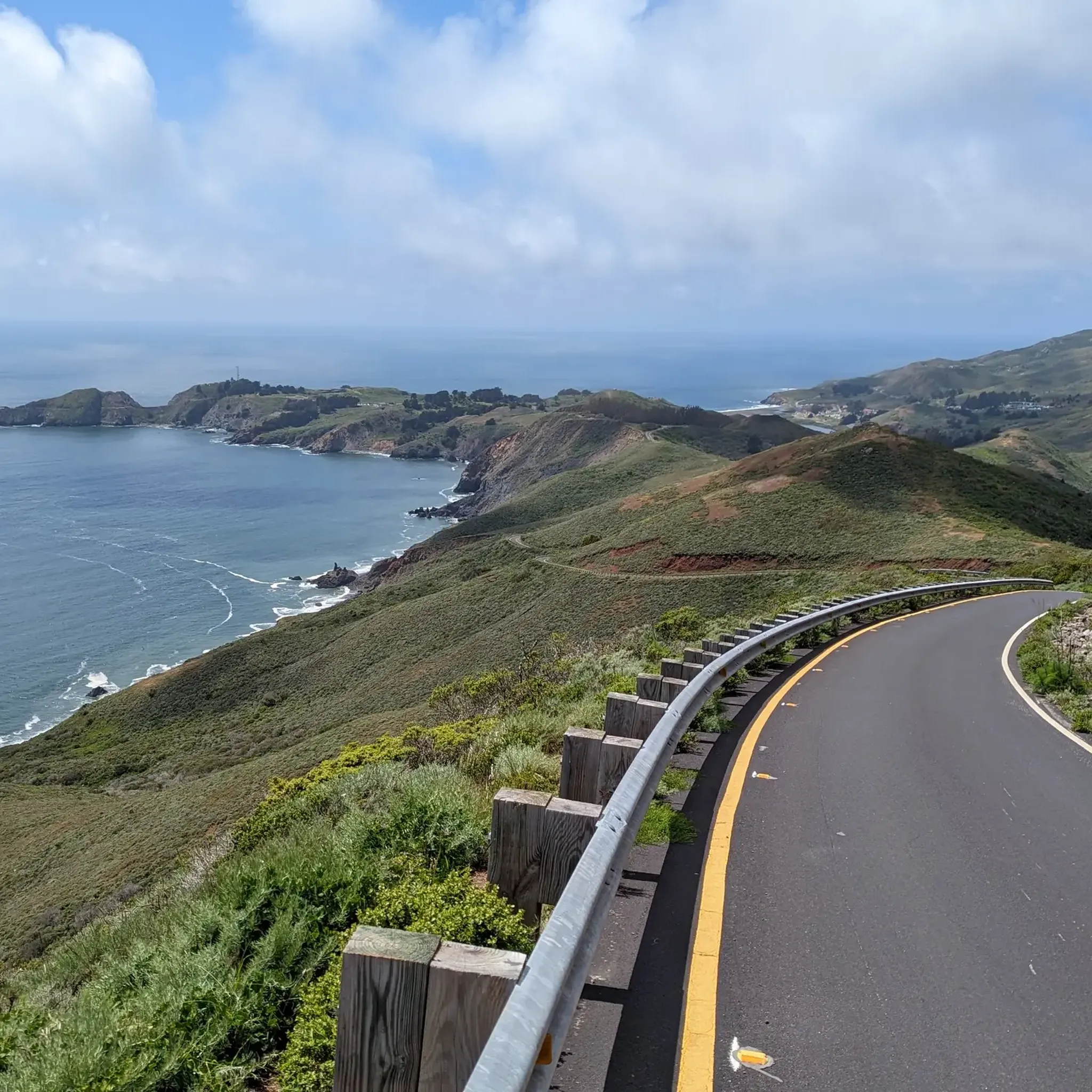
Top of the climb up Coastal Trail on or along Conzelman Rd. From here the road dropping down is a one-way road to the west. Trails loop around the military facilities on Hawk Hill, with tunnels and large cannon placements remaining from the WW II era.
0
0
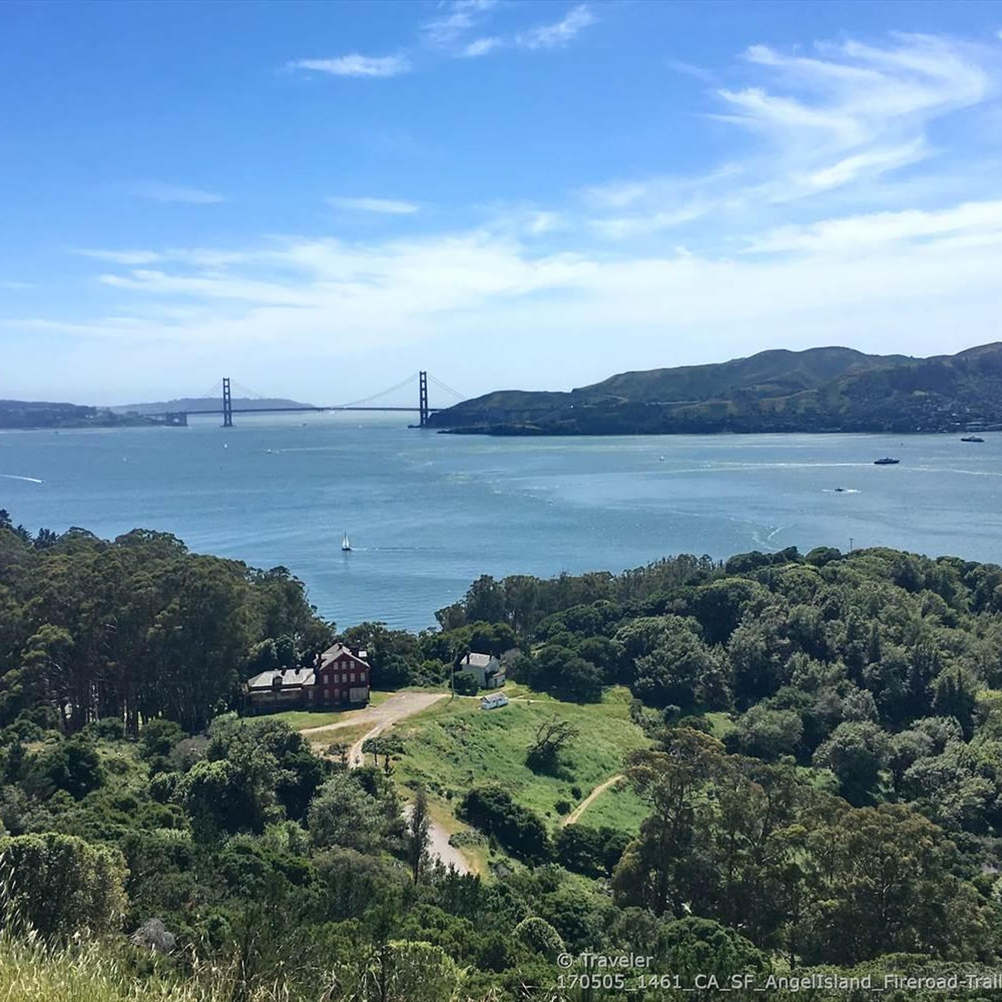
Northern start of the gravel trail climbing gradually south-east across the last ridge before reaching the Golden Gate
0
0
Nike Missile Site open select weekends with guided tours, check GGRA website
0
0

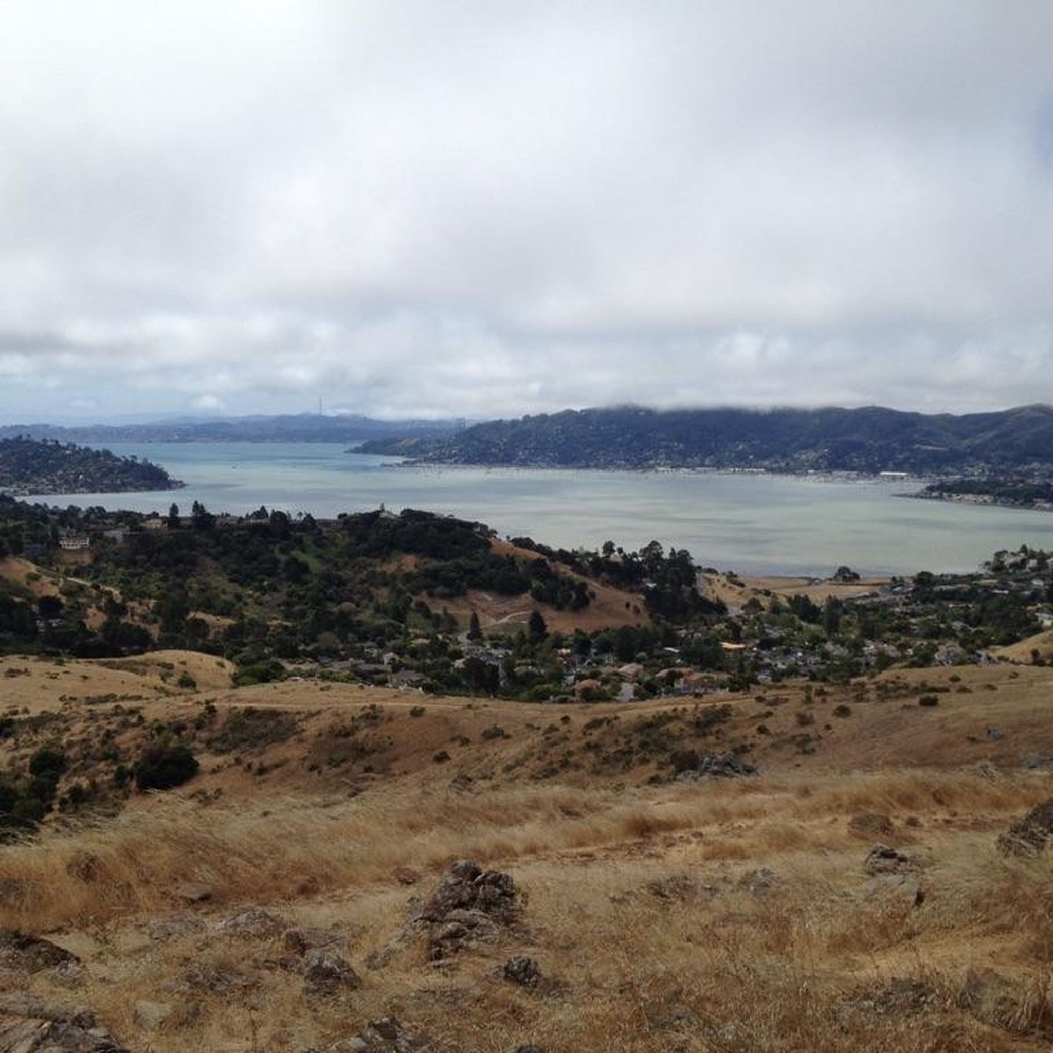
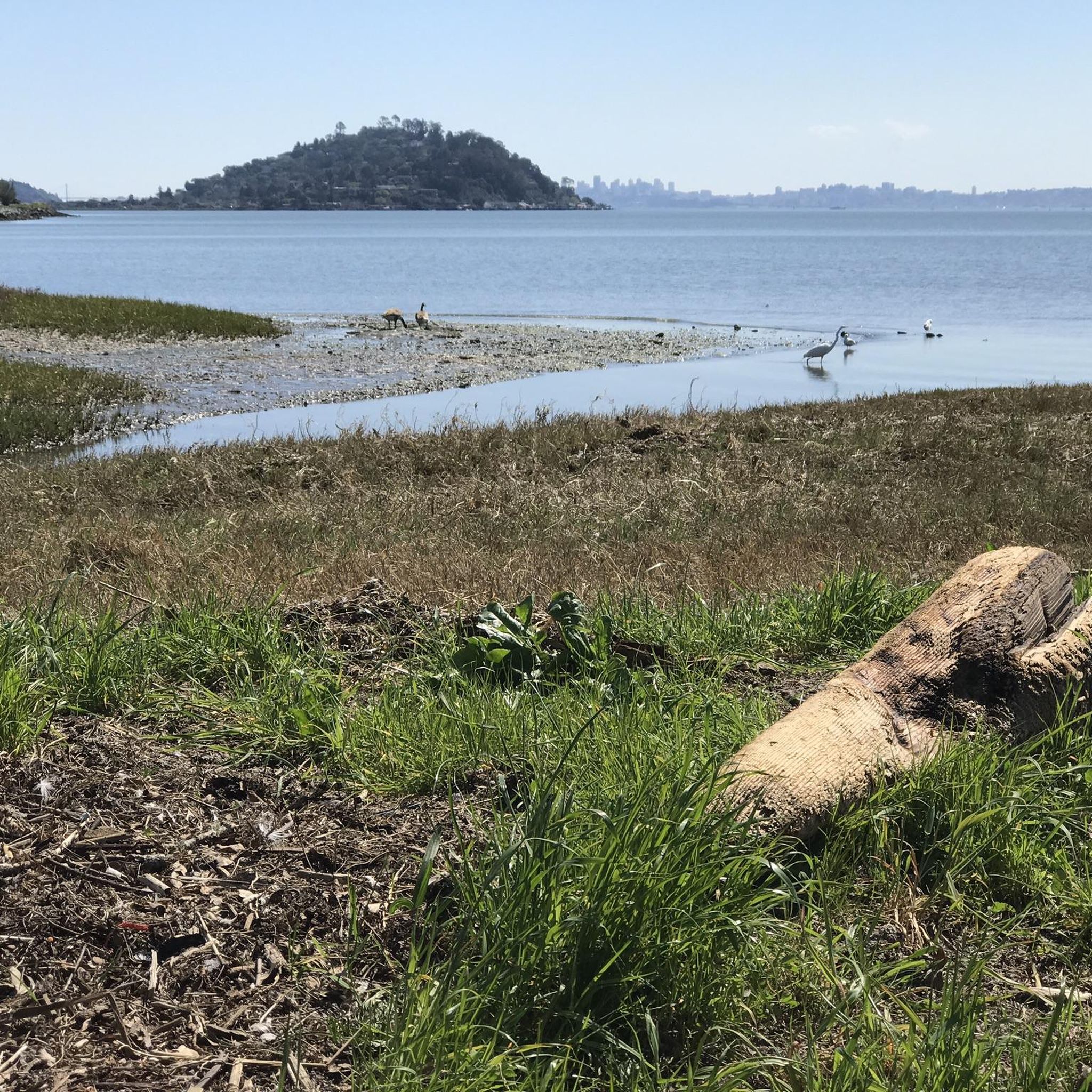
Beautiful, quiet bay. With great surroundings. Not too crowded.
0
0

Pantoll Road is a beautiful, mostly paved route through Mount Tamalpais State Park, connecting the Panoramic Highway to Ridgecrest Boulevard. It winds closely along the curves of the hillside, with some shade from the trees in some spots. There are fantastic views along the way of San Francisco and the Marin Headlands, with incredible viewpoints over the Pacific coastline.
0
0
Wide sandy Pacific beach with a popular surf break below the rocky cliffs at the north end.
0
0
Frequently Asked Questions
How many mountain bike trails are available in Ring Mountain Open Space Preserve?
There are over 80 mountain bike trails in Ring Mountain Open Space Preserve, offering a wide range of options for different skill levels and preferences.
What kind of terrain and difficulty can I expect on the mountain bike trails?
You can expect diverse terrain, including grassy slopes, oak woodlands, and gravel fire roads. Trails range from moderate to difficult, often featuring significant elevation gains and some loose gravel sections. The unique geology, with serpentine rock, contributes to varied soil conditions. Some routes require good fitness or advanced riding skills.
Are there any family-friendly mountain biking options in Ring Mountain Open Space Preserve?
While many trails feature significant climbs and challenging sections, there are 13 easy-rated mountain bike routes available. These might be more suitable for families or those looking for a less strenuous ride, though some sections may still require good fitness.
Can I bring my dog on the mountain bike trails?
Ring Mountain Open Space Preserve generally allows dogs on trails, but they must be kept on a leash. Always check specific trail regulations before heading out, as rules can vary.
What are some notable landmarks or natural features to look out for while mountain biking?
The preserve is rich in natural and historical features. You might encounter the unique geological formations with minerals like amphibolite and serpentine, or spot the rare Tiburon mariposa lily in spring. Keep an eye out for Petroglyph Rock, an archaeological site with ancient carvings, or the massive Turtle Rock, popular with climbers. You'll also enjoy breathtaking 360-degree views of the Bay Area, including Mount Tamalpais and the San Francisco skyline.
What is the best time of year to go mountain biking in Ring Mountain Open Space Preserve?
Spring (March to June) is particularly beautiful due to the abundant wildflower displays, including rare endemic species. However, the preserve offers stunning panoramic views year-round. Be prepared for potential loose gravel sections and steep uphills regardless of the season.
Are there any good loop routes for mountain biking?
Yes, many of the trails in Ring Mountain Open Space Preserve are part of loop routes. For example, the Mount Tamalpais & Coastal Trail loop is a moderate 22-mile (35.4 km) ride with significant elevation gain, offering varied landscapes and ocean views.
Where can I find parking for mountain biking in the preserve?
Parking is available at various access points around the preserve. Specific parking areas are often indicated on trailheads or maps for routes starting within or near the preserve. It's advisable to check the starting point of your chosen route for the most convenient parking options.
What do other mountain bikers enjoy most about the trails here?
The trails in Ring Mountain Open Space Preserve are highly rated by the komoot community, with an average score of 4.8 stars from over 180 reviews. Riders frequently praise the stunning panoramic views of the Bay Area, the diverse terrain, and the challenging climbs that offer a rewarding experience.
Are there any longer, more challenging mountain bike routes for experienced riders?
Yes, for experienced riders seeking a challenge, routes like the Bobcat Trail – Marincello Trail loop from Mill Valley offer a difficult 18.9-mile (30.4 km) ride with over 2,100 feet (650 m) of elevation gain, typically taking around 2 hours 45 minutes to complete.
What should I wear for mountain biking in Ring Mountain Open Space Preserve?
Given the varied terrain and potential for steep climbs and descents, wearing appropriate mountain biking gear is recommended. This includes a helmet, comfortable and moisture-wicking clothing, gloves, and sturdy mountain biking shoes. Layers are advisable due to changing temperatures, and carrying plenty of water is essential.
Are there any remnants of historical sites along the trails?
Yes, beyond the ancient Petroglyph Rock, you can find remnants of a 1950s Cold War military installation at the end of Taylor Fire Road, offering a glimpse into more recent history amidst the natural beauty.
Most popular routes in Ring Mountain Open Space Preserve

Get inspired with the komoot mobile app


Explore more
Browse the best MTB trails in other regions.
