Taylor Mountain Regional Park And Open Space Preserve
Taylor Mountain Regional Park And Open Space Preserve
The best running trails in Taylor Mountain Regional Park And Open Space Preserve
548
runners
53
runs
Jogging routes in Taylor Mountain Regional Park And Open Space Preserve traverse an 1,100-acre landscape featuring sweeping grasslands, grassy hillsides, and mature oak woodlands. Several creeks wind through the park, contributing to riparian and wetland plant communities. The preserve offers panoramic views of Santa Rosa and distant peaks from its summit trails. Its diverse terrain includes both flatter paths and sustained ascents, providing varied running experiences.
Best jogging routes in Taylor Mountain Regional Park And Open Space Preserve
- The most…
Last updated: July 8, 2026
6
runners
31.4km
03:43
470m
470m
Hard run. Very good fitness required. Mostly accessible paths. Some sure footedness required.
8
runners
12.2km
01:18
80m
80m
Moderate run. Good fitness required. Mostly paved surfaces. Suitable for all skill levels.

Sign up for free
63
runners
Hard run. Very good fitness required. Mostly paved surfaces. Suitable for all skill levels.
32
runners
11.9km
01:13
20m
20m
Moderate run. Good fitness required. Mostly paved surfaces. Suitable for all skill levels.
15
runners
11.8km
01:19
110m
110m
Moderate run. Good fitness required. Mostly paved surfaces. Suitable for all skill levels.
Get access to more routes and recommendations from other explorers.
Sign up for free
Already have an account?
Our route recommendations are based on thousands of hikes, rides, and runs completed by other people on komoot.
Start today with a free account
Your next adventure awaits.
Login or Signup
Popular around Taylor Mountain Regional Park And Open Space Preserve
Tips from the Community

Well maintained paved trail that runs along the border of the reservoir. The trail is popular with walkers, runners, and cyclists, so make sure to be respectful to other trail users!
0
0
Spring Lake Park is a 320-acre park that has miles of trails, a large reservoir, and a beach. There is a paved path that loops around the reservoir, as well as some single and double track.
0
0
The Santa Rosa Creek Reservoir is a popular outdoor destination in Santa Rosa. The reservoir was created by a nearby dam.
0
0

This expansive 138-acre community park offers ample parking and restrooms and is a popular starting and ending point for local cyclists. There are plenty of outdoor activities, with the park boasting serene Lake Ralphine for fishing and boating, a softball field, tennis and pickleball courts, inviting picnic areas, and innovative playground structures. There is also a small amusement area with train rides for kids. It is a great gathering spot for families, with miles of trails to explore.
0
0

A nicely paved trail meanders along the banks of Santa Rosa Creek, featuring several unique sites along the way, from the Historic Del Monte Cannery to unique bridges. The sounds of the creek create a peaceful atmosphere for running.
0
0

Beautiful scenery, lots of vineyards, and a number of the roads are newly paved. Not long ago you could lose a filling on some of these roads.
0
0

Trail around the southern perimeter of Annadel State Park to Bennet Mountain
0
0
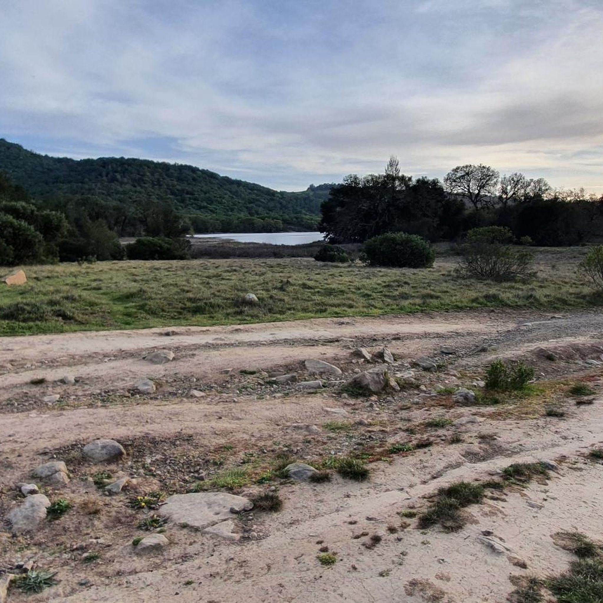
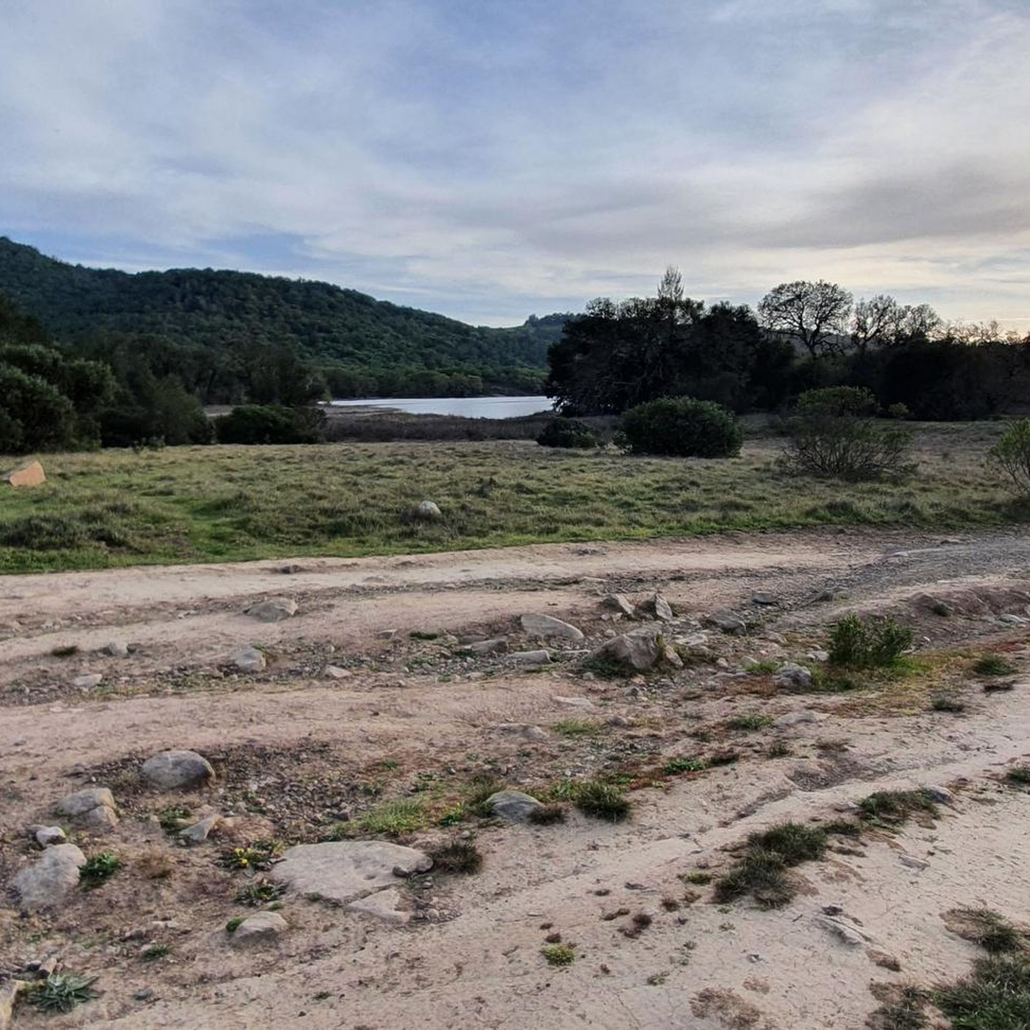
Leafy park along the west shore of the large Santa Rosa Creek Reservoir, with good running trails around the water and through the meadows and shaded groves
1
0
Frequently Asked Questions
How many running routes are available in Taylor Mountain Regional Park And Open Space Preserve?
There are nearly 50 dedicated running routes within Taylor Mountain Regional Park And Open Space Preserve. These routes cater to various fitness levels, offering options from easy loops to more challenging climbs across the diverse terrain.
What kind of terrain can I expect on the jogging trails?
The preserve features a mix of terrain, including sweeping grasslands, grassy hillsides, and mature oak woodlands. You'll find trails with long, gradual switchbacks for sustained ascents, as well as flatter paths that wind through oak forests and along creeks. Some sections, like parts of the Red Tail Trail, may have small rocks, adding to the varied experience.
Are there any easy running routes suitable for beginners or a relaxed jog?
Yes, for a more relaxed run, the Todd Creek Trail loops through an oak woodland, offering a flatter experience. Additionally, the preserve has 4 routes classified as easy, providing gentle options for those looking for a less strenuous jog.
Where can I find a challenging running route with good elevation gain?
For a more challenging run with significant elevation, consider routes like the Sky Lupine Trail, known for its long, gradual switchbacks leading to near the mountain's summit with expansive views. The Western Trail also presents a more challenging climb from the Kawana Terrace entrance. There are 12 routes in the preserve classified as difficult, offering substantial elevation changes.
Are there any circular running routes in the park?
Yes, many of the routes in Taylor Mountain Regional Park are designed as loops. For example, the Lake Ilsanjo – Lake Ilsanjo loop from Spring Lake Park offers a moderate 9.6 km (6 miles) circular path with some elevation gain. The Prince Greenway Park loop from Santa Rosa is another popular moderate 11.9 km (7.4 miles) loop, known for its relatively flat profile.
Can I bring my dog on the running trails?
Taylor Mountain Regional Park is generally dog-friendly, but it's always best to check the specific park regulations regarding leash requirements and any restricted areas before your visit. Most multi-use trails typically allow dogs on leash.
Are there any family-friendly jogging options or amenities for children?
Yes, the park is suitable for families. Beyond jogging, it features an accessible natural play area known as the Red Tail Play Area, providing a nature-inspired space for children. Some trails also include ADA-accessible sections, making them more inclusive for families with strollers or varying mobility needs.
What are the best viewpoints to experience while running in the preserve?
Many trails in Taylor Mountain Regional Park lead to viewpoints offering sweeping vistas. From the summit trails, you can enjoy panoramic views of Santa Rosa and distant peaks. The Sky Lupine Trail, in particular, is known for its expansive views as it ascends towards the mountain's summit.
Is there public transport available to reach Taylor Mountain Regional Park?
Yes, public transport options are available. Santa Rosa City bus routes serve the area, providing access to both the Kawana Terrace entrance and the Petaluma Hill Road entrance of Taylor Mountain Regional Park. It's advisable to check current bus schedules for the most up-to-date information.
What do other runners enjoy most about jogging in Taylor Mountain Regional Park?
The running routes in Taylor Mountain Regional Park are highly rated by the komoot community, with an average score of 4.0 stars. Runners often praise the diverse terrain, from grassy hillsides to oak woodlands, and the rewarding panoramic views from the higher trails. The variety of routes catering to different fitness levels is also frequently highlighted.
Are there any specific trails that offer views across Bennett Valley and the Santa Rosa Plain?
Yes, newly constructed trails within the preserve, such as the Panorama Trail, weave through woodlands and cross creeks while offering scenic views across Bennett Valley and the Santa Rosa Plain. These trails provide a refreshing perspective of the surrounding landscape.
Where can I find information about the park's operating hours or any required permits?
For official information regarding park operating hours, entry fees (if any), and permit requirements, it's best to consult the Sonoma County Regional Parks website. You can find detailed information at parks.sonomacounty.ca.gov.
Most popular routes in Taylor Mountain Regional Park And Open Space Preserve

Get inspired with the komoot mobile app


Explore more
Browse the best Running Trails & Routes in other regions.
