The best cycling routes in Siletz Bay National Wildlife Refuge
5.0
(1)
33
riders
4
rides
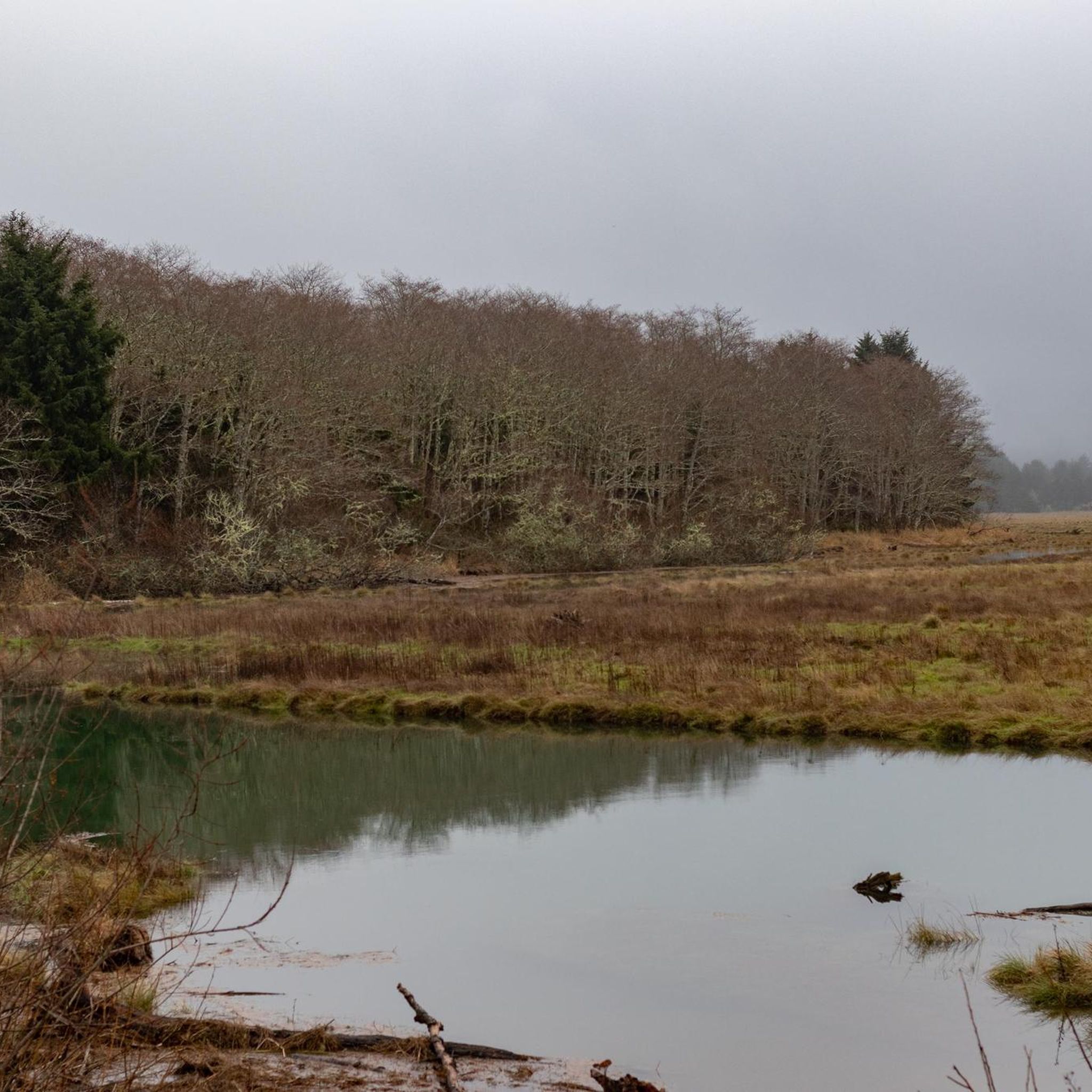
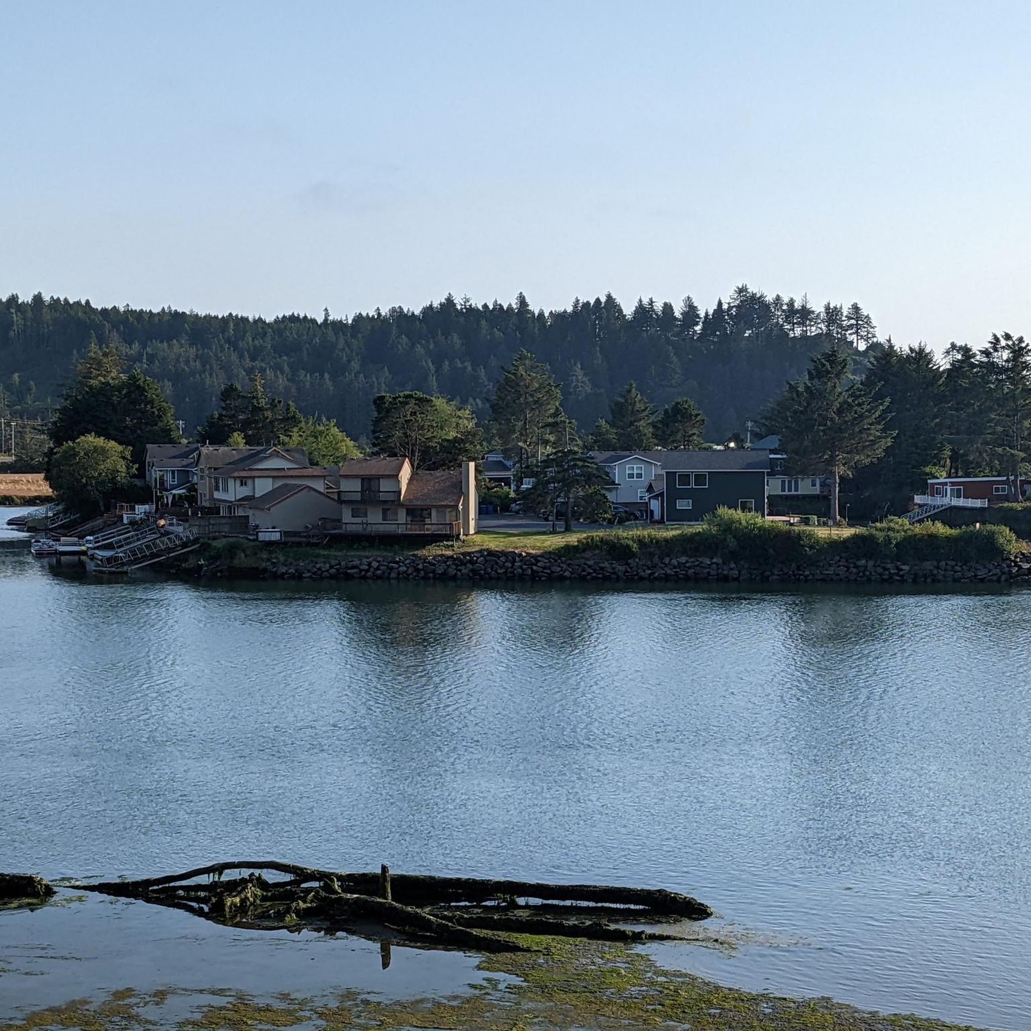
Touring cycling in Siletz Bay National Wildlife Refuge offers routes through a diverse coastal landscape. The refuge is characterized by its estuarine habitats, salt marshes, and tidal flats, providing unique views of the Siletz River and its bay. Cyclists can expect paths that often run alongside the water, with some routes extending into nearby forested areas and along the Oregon Coast. The terrain is generally gentle, reflecting the low-lying nature of the wildlife refuge, though some longer routes may include…
Last updated: July 9, 2026
60.9km
04:20
1,150m
1,140m
Hard bike ride. Very good fitness required. Mostly paved surfaces. Suitable for all skill levels.
1
riders
26.2km
01:36
170m
170m
Moderate bike ride. Good fitness required. Mostly paved surfaces. Suitable for all skill levels.

Sign up for free
5.0
(1)
23
riders
135km
08:28
1,440m
1,440m
Hard bike ride. Very good fitness required. Mostly paved surfaces. Suitable for all skill levels.
2
riders
58.5km
04:40
1,180m
1,180m
Hard bike ride. Very good fitness required. Mostly paved surfaces. Suitable for all skill levels.
8
riders
18.7km
01:12
240m
240m
Moderate bike ride. Good fitness required. Mostly paved surfaces. Suitable for all skill levels.
Our route recommendations are based on thousands of hikes, rides, and runs completed by other people on komoot.
Start today with a free account
Your next adventure awaits.
Login or Signup
Popular around Siletz Bay National Wildlife Refuge

Tips from the Community

Take a break, read something someone else doesn't like it will enrich you
0
0
Sometimes the best part isn't the beach at all, looking east...
0
0

Outstanding ocean viewpoint only a short distance from parking lot. Easy hike. Also good access to a beach. Lots of picnic tables. Has restrooms.
0
0

Pacific City is a charming coastal town beneath the majestic Cape Kiwanda. Mesmerizing landmarks, sandy beaches, awe-inspiring views, and excellent surfing opportunities surround this picturesque location. Here, you will see the massive “sea stack” rock formation and the towering sand dune leading to Cape Kiwanda's top, offering breathtaking vistas. The town is also an exceptional spot for fishing, surfing, and watching dorymen launch their boats directly from the beach.
1
0

Depoe Bay is a city in Lincoln County, Oregon, located on Route 101 on the Pacific Ocean. The bay of the same name is a 6-acre (2.4 ha) harbor, which the city promotes as the smallest navigable harbor in the world. Depoe Bay was named after Siletz Indian Charles "Charley" Depot, to whom the land was originally granted in 1894 as part of the Dawes Act of 1887. There are conflicting accounts of the origin of his name. It is said that he received the name "Depot Charley" because he worked at the military depot near Toledo, Oregon. The family later became known as "DePoe." His original tribal affiliation was Tututni. In 1975, the fishing trip sequence in One Flew Over the Cuckoo's Nest was filmed in Depoe Bay. In 1983, the harbor sequence in Hysterical was filmed in Depoe Bay, with the Depoe Bay Bridge prominently featured in the background. In 2008, restaurant scenes from The Burning Plain were filmed in Depoe Bay at the Tidal Raves restaurant. On March 11, 2011, the Depoe Bay harbor was damaged by a tsunami caused by the Tohoku earthquake off the coast of Japan. On August 21, 2017, Depoe Bay was one of the first places in the United States to experience the entirety of that year's North American solar eclipse.
0
0
The world's shortest title was lost in 1989 when Guinness named the Roe River in Montana the shortest in the world. In an attempt to reclaim the title, the people of Lincoln City submitted a new measurement to Guinness of about 120 feet (37 m) marked at "extreme high tide." At the time, the Lincoln City Chamber of Commerce described the Roe as a "drainage dike being studied for a school project." Montana supporters shot back that the D was just an "ocean water backup," pointed out that there was an alternative fork to the Roe that was only 30 feet (9.1 m) long and suggested a new survey . Guinness apparently never decided the dispute and let the Roe claim stand, but as of 2006 decided to no longer list the shortest river, perhaps because of this ongoing dispute.
0
0
Frequently Asked Questions
How many touring cycling routes are available in Siletz Bay National Wildlife Refuge?
There are 4 touring cycling routes documented in Siletz Bay National Wildlife Refuge, offering diverse experiences from coastal paths to forested loops.
Are there easy or beginner-friendly touring cycling routes in the refuge?
Yes, the refuge offers routes with generally gentle terrain, reflecting its low-lying estuarine nature. The Oregon Coast Scenic Bikeway is a moderate 16.3-mile (26 km) trail that provides expansive coastal views without significant elevation changes, making it suitable for many riders. Another moderate option is the Devil's Lake loop, which is 11.6 miles (19 km) and circles the lake.
What is the best time of year to go touring cycling in Siletz Bay National Wildlife Refuge?
The best time for touring cycling in Siletz Bay National Wildlife Refuge is typically during the late spring, summer, and early fall months (May to October). During this period, the weather is generally milder and drier, offering more pleasant riding conditions and better visibility for wildlife spotting. Winter can bring more rain and wind, which might make some routes less enjoyable.
Are there any circular touring cycling routes in the area?
Yes, the refuge features circular routes. A popular option is the Devil's Lake loop, an 11.6-mile (19 km) path that circles Devil's Lake, providing scenic views of the water and surrounding natural areas. For a longer, more challenging loop, consider the Drift Creek Falls Loop.
What kind of wildlife can I expect to see while cycling in Siletz Bay National Wildlife Refuge?
Siletz Bay National Wildlife Refuge is a haven for diverse wildlife, especially birds. Cyclists often spot various waterfowl, shorebirds, and raptors in the estuarine habitats and tidal flats. Keep an eye out for seals and sea lions in the bay, and occasionally deer or other mammals in the forested sections. Early mornings or late afternoons are often the best times for wildlife viewing.
Are there any specific viewpoints or scenic spots along the touring cycling routes?
Many routes offer excellent viewpoints, particularly those running alongside the Siletz River and its bay. The Oregon Coast Scenic Bikeway provides expansive views of the Pacific coastline and the Siletz Bay estuary. Routes around Devil's Lake also offer picturesque water views.
What are the typical trail conditions for touring cycling in the refuge?
The terrain in Siletz Bay National Wildlife Refuge is generally gentle, consisting of paved roads, gravel paths, and sometimes compacted dirt trails. Conditions can vary with weather; after heavy rain, some unpaved sections might be muddy. Always check local weather forecasts before heading out, especially during the wetter seasons.
Are there any cafes or places to eat near the cycling routes?
While the refuge itself is primarily natural habitat, nearby towns like Lincoln City and Newport offer a variety of cafes, restaurants, and services. These towns are easily accessible from some of the longer routes, such as the Oregon Coast Scenic Bikeway, allowing for convenient stops to refuel.
What do other touring cyclists enjoy most about cycling in Siletz Bay National Wildlife Refuge?
The area is highly rated by the komoot community, with an average score of 5.0 stars from over 1 review. Reviewers often praise the unique coastal and estuarine scenery, the opportunity for wildlife spotting, and the generally gentle terrain that makes for enjoyable rides. The variety of routes, from coastal paths to forested loops, is also frequently highlighted.
Is public transport available to access the touring cycling routes?
Public transport options directly into the Siletz Bay National Wildlife Refuge are limited. However, regional bus services connect nearby towns like Lincoln City and Newport, which can serve as starting points for some routes. It's advisable to check specific routes and schedules for bike-friendly transport options if you plan to use public transit.
Are there any challenging touring cycling routes for experienced riders?
Yes, for experienced riders seeking a challenge, the refuge and surrounding areas offer more demanding routes. The Drift Creek Falls Loop is a difficult 37.9-mile (61 km) trail leading through forested landscapes, often taking over 4 hours to complete due to its elevation changes. Another difficult option is the D River – North Old Scenic Highway 101 loop from Spyglass Ridge Open Space, which is significantly longer at 84 miles (135 km).
Do I need a permit to bike in Siletz Bay National Wildlife Refuge?
Generally, no specific permit is required for recreational touring cycling on designated trails and public access roads within Siletz Bay National Wildlife Refuge. However, it's always recommended to check the official U.S. Fish & Wildlife Service website for the refuge or local signage for any updated regulations or specific area restrictions before your visit.
Most popular routes in Siletz Bay National Wildlife Refuge

Get inspired with the komoot mobile app


Explore more
Browse the best Cycling routes in other regions.
