The best road cycling routes around Illerkirchberg
4.6
(2063)
31,344
riders
985
rides
Road cycling around Illerkirchberg offers diverse landscapes, characterized by riverine environments along the Iller and Danube, as well as routes traversing forests and fields. The region features well-developed cycling infrastructure, including smooth paths along the Iller River. While not mountainous, the area includes low mountain landscapes and undulating terrain, providing varied gradients for road cyclists.
Best road cycling routes around Illerkirchberg
- The most popular road cycling route is Donauschwaben Riverside 🌊 Ulm – Blauinsel in Blaupark Ulm loop from Illerkirchberg…
Last updated: July 1, 2026
5.0
(1)
60
riders
25.8km
01:02
120m
120m
Easy road ride. Great for any fitness level. Mostly well-paved surfaces and easy to ride.
5.0
(1)
32
riders
42.5km
01:49
330m
330m
Moderate road ride. Good fitness required. Mostly well-paved surfaces and easy to ride.

Sign up for free
40
riders
Easy road ride. Great for any fitness level. Mostly well-paved surfaces and easy to ride.
5.0
(1)
19
riders
Moderate road ride. Great for any fitness level. Some segments of this route may be unpaved and difficult to ride.
3.0
(1)
23
riders
Moderate road ride. Great for any fitness level. Some segments of this route may be unpaved and difficult to ride.
Get access to more routes and recommendations from other explorers.
Sign up for free
Already have an account?
Our route recommendations are based on thousands of hikes, rides, and runs completed by other people on komoot.
Start today with a free account
Your next adventure awaits.
Login or Signup

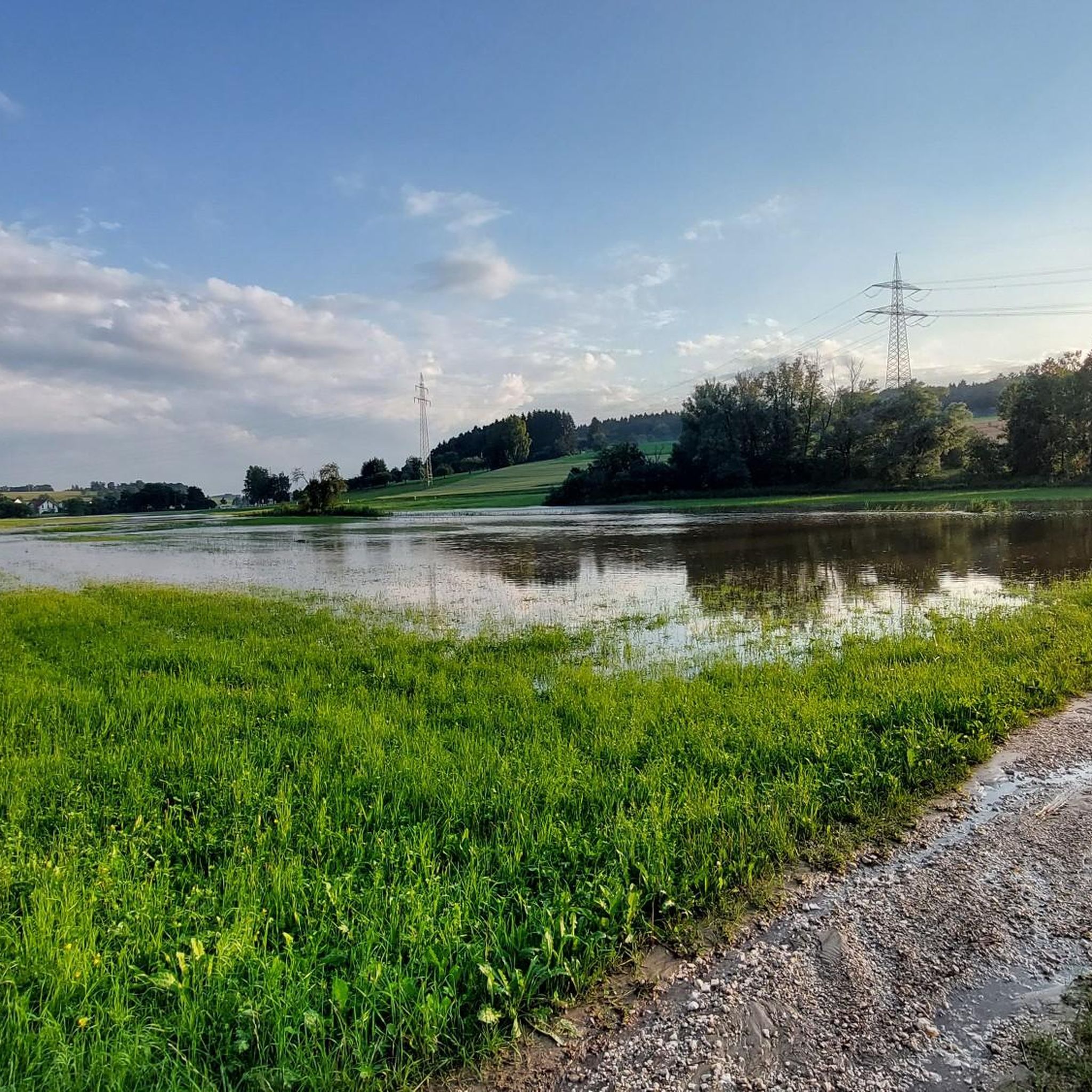
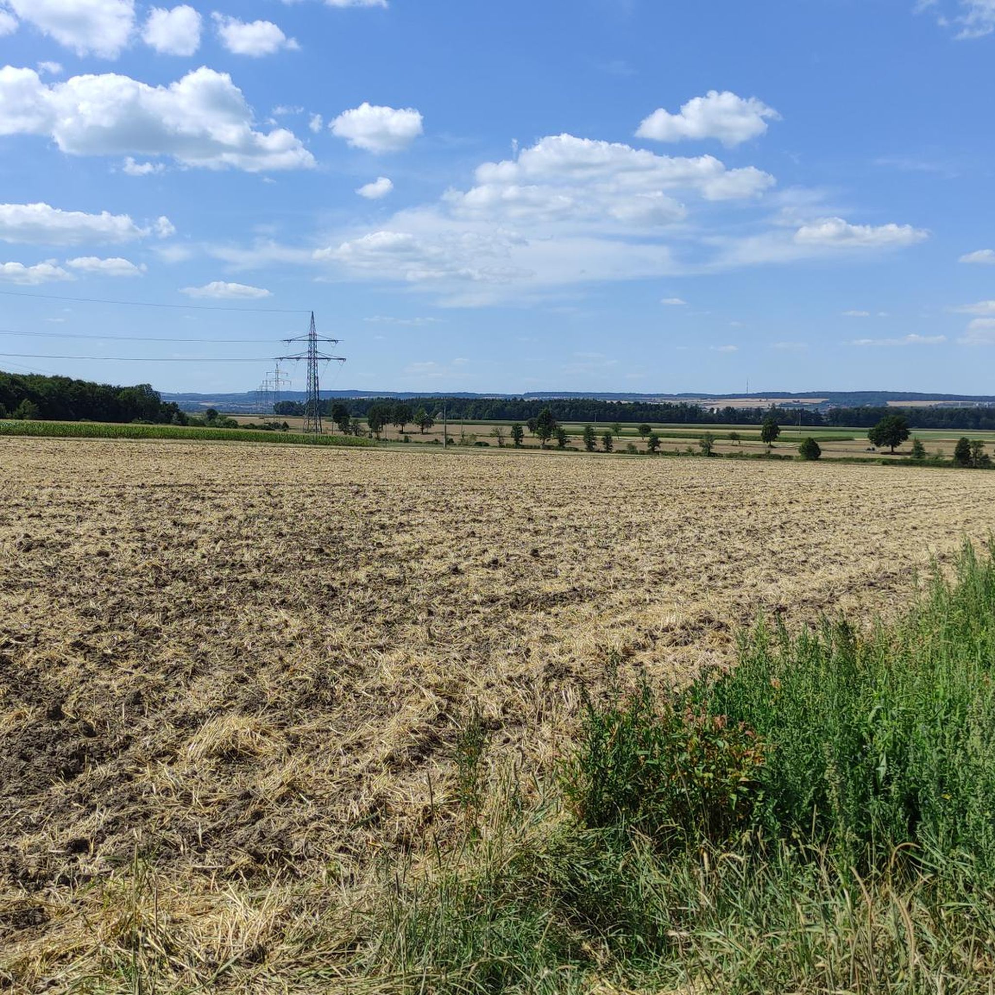
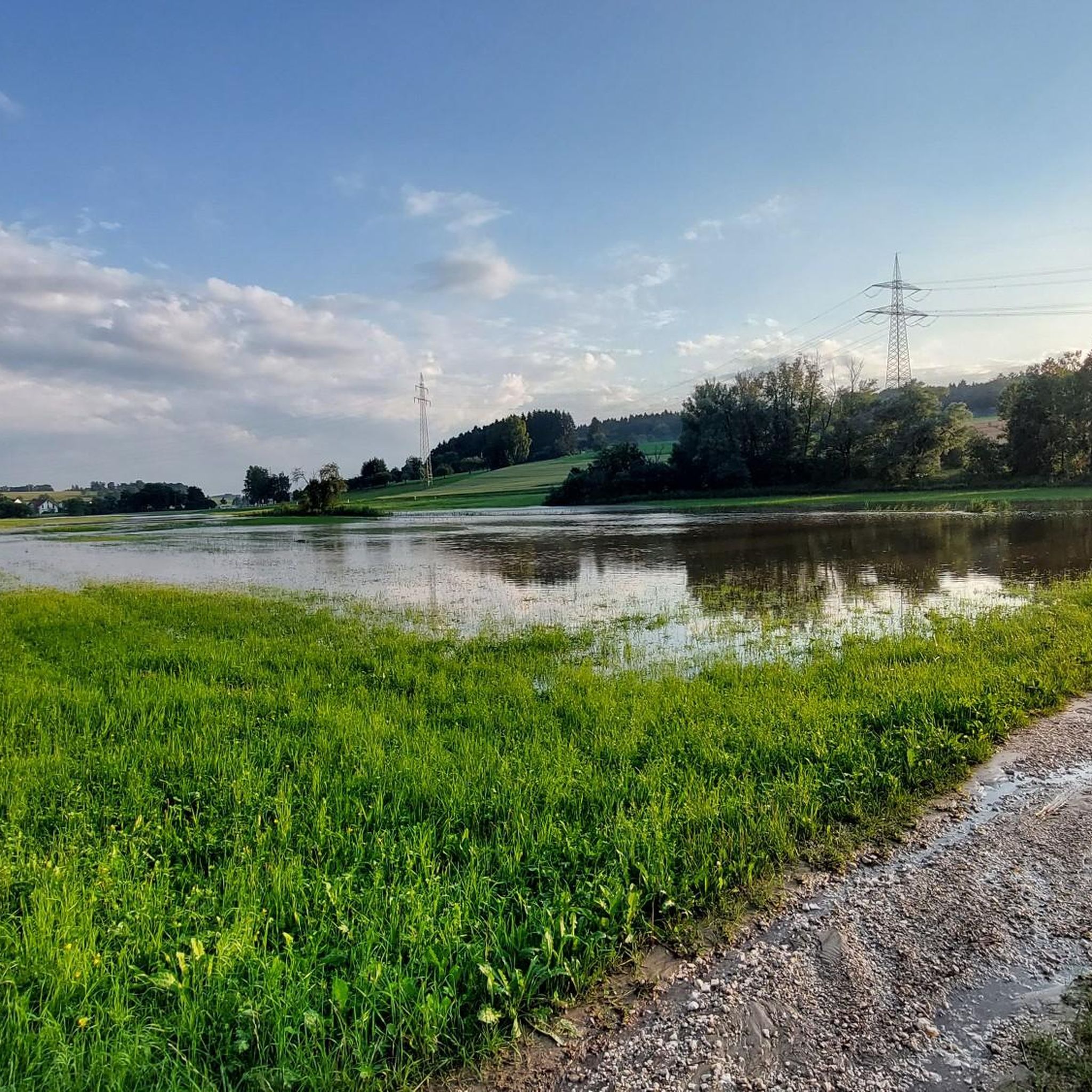
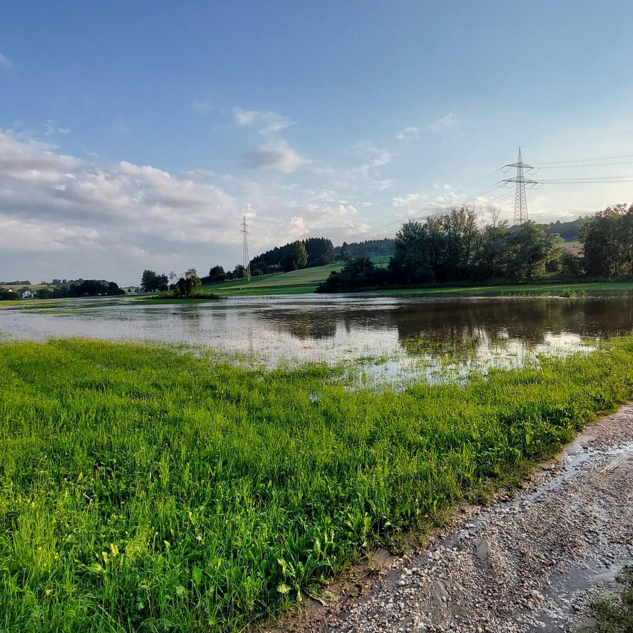
Other adventures around Illerkirchberg

Tips from the Community

As a replacement for the bridge located a little further downstream until the new Adenauer Bridge (an eight-lane road bridge) is completed. It is the only way to cross the Danube at river level from the Danube Valley.
1
0

Great alternative to the road
0
0
Great alternative even with the racing bike away from the road
0
0

Next to the church there is an ice cream café with delicious ice cream!
0
0


The Unterer Kuhberg Fort was built between 1846 and 1858 between Illerstrasse (B-311) and Römerstrasse to block the Kuhberg and to provide security towards the Danube. It was manned by a maximum of 1270 men. The dry trenches of the half lunette are flanked by a double and a half caponier at the front and by a tower-like caponier in the throat. Only a small number of hollow traverses were built on the ramparts around 1880 to adapt to the requirements of the fortress artillery. The arched redoubt served as a defensive barracks for the Ulm foot artillery battalion. Numerous barracks and outbuildings were built inside the structure over time. The fort was used as accommodation by various military departments until 1945. During bombing raids in World War II, the fort, which was partly designated as an air raid shelter, was hit by several explosive bombs, some of the damage is still visible today (breach in the left front wall). In the post-war period, the complex was used as emergency accommodation and as the location of many small businesses. This period also saw the greatest destruction of the complex, such as window openings being broken out, the trenches being filled with rubbish and rubble, the roofs of the walls being torn down and the maintenance of the walls being neglected. The first steps to restore/secure the structure were taken by the city of Ulm and the federal government in the 1980s. After the Bundeswehr left the complex in the 1990s, the historic barracks buildings were used by the Ulm Waldorf School and were partly unsightly built up or neglected. The Ulm Federal Fortress Support Group has been working on restorations since 2007. https://www.festung-ulm.de
1
0
Frequently Asked Questions
How many road cycling routes are there in Illerkirchberg?
Illerkirchberg offers a wide selection of road cycling routes, with over 950 tours available for exploration. These routes cater to various preferences, including easy, moderate, and challenging options.
What kind of terrain can I expect on road cycling routes around Illerkirchberg?
The region around Illerkirchberg features diverse terrain. You'll find smooth cycle paths along the Iller and Danube rivers, offering generally flat routes. There are also routes traversing forests and fields, and the area includes low mountain landscapes with undulating terrain, providing both scenic climbs and descents.
Are there options for different skill levels in Illerkirchberg?
Yes, Illerkirchberg provides road cycling routes suitable for all skill levels. The area has 199 easy routes, 650 moderate routes, and 101 difficult routes, ensuring that both beginners and advanced cyclists can find suitable challenges.
Are there any long-distance road cycling routes connected to Illerkirchberg?
Absolutely. Illerkirchberg is well-integrated into a network of cycling routes. The prominent Iller Cycle Path follows the Iller river and connects to the Danube Cycle Path near Ulm, offering extensive long-distance touring opportunities for cyclists looking to explore further.
What landmarks or attractions can I visit along the road cycling routes?
Many routes lead to or pass by notable attractions. You can cycle towards Ulm to explore its Old Town and Landmarks, including the impressive Ulm Minster and the charming Fishermen's and Tanners' Quarter. The Valkenburg Riverside (Danube riverbank Ulm) also offers picturesque views.
Are there scenic viewpoints on the road cycling routes?
Yes, the region offers several scenic spots. Routes like the Panoramic View of Allewind – Donautal Road Cycling Route loop from Unterweiler are designed to showcase beautiful vistas. The riverbanks of the Iller and Danube also provide picturesque views throughout your ride.
Where can I park my car when starting a road cycling tour in Illerkirchberg?
While specific parking areas for each route are not detailed, Illerkirchberg and surrounding villages like Staig and Unterweiler, which serve as common starting points for tours, typically offer public parking facilities. It's advisable to check local signage upon arrival.
Can I reach the cycling routes by public transport?
Illerkirchberg is part of the Alb-Donau district, which generally has public transport connections. Ulm, a major hub easily accessible by bike from Illerkirchberg, is well-served by public transport, making it possible to combine cycling with train or bus travel to reach the area or specific starting points.
Are there family-friendly road cycling routes in Illerkirchberg?
Yes, many of the easy routes, particularly those along the Iller River, are suitable for families. These paths are generally smooth and have minimal elevation changes, providing a pleasant experience for cyclists of all ages. For example, the Iller Bridge – Donauschwaben Riverside 🌊 Ulm loop from Illerkirchberg is an easy option.
Are there cafes or restaurants along the road cycling routes?
Cycling routes often pass through charming villages and towns like Illerkirchberg, Staig, and Ulm, where you can find cafes and restaurants to refuel. The Dietenheim Town Center – Idyllic Sunflower Field loop from Staig, for instance, passes through Dietenheim, offering opportunities for a break.
What do other road cyclists think about the routes in Illerkirchberg?
The road cycling routes in Illerkirchberg are highly regarded by the komoot community, holding an average rating of 4.6 stars from over 1,700 reviews. Cyclists often praise the varied terrain, well-maintained paths, and the scenic beauty of the riverine and low mountain landscapes.
What is the best time for road cycling in Illerkirchberg?
The region is enjoyable for road cycling during most of the year, with spring, summer, and early autumn offering the most pleasant conditions. These seasons provide comfortable temperatures and lush landscapes, ideal for exploring the riverine and field paths.
Are there circular road cycling routes available?
Yes, many of the road cycling routes around Illerkirchberg are designed as loops, allowing you to start and end at the same point. Examples include the popular Donauschwaben Riverside 🌊 Ulm – Blauinsel in Blaupark Ulm loop from Illerkirchberg and the Blaupark Ulm – Donauschwaben Riverside 🌊 Ulm loop from Illerkirchberg.
Most popular routes around Illerkirchberg
Most popular attractions around Illerkirchberg

Get inspired with the komoot mobile app


Explore more
Browse the best Road cycling routes in other regions.
