The best cycling routes in Dash Point State Park
4.9
(39)
357
riders
22
rides
If you've ever tried to plan touring cycling in Dash Point State Park, you know how many routes pop up, making it tough to figure out which ones are truly worth your time and effort. It can feel overwhelming, trying to separate the real gems from the filler. That's exactly why we're here.
Our komoot community has mapped, ridden, and reviewed countless routes here, so we've done the legwork to bring you a curated shortlist. This guide cuts through the noise, saving you the guesswork and pointing you straight to the rides that promise the best experience for your touring bike.
Touring cycling in Dash Point State Park is all about variety. You'll find a unique blend of saltwater shoreline vistas along Puget Sound and lush forested areas inland, crisscrossed by creeks. The terrain ranges from easy, paved waterfront paths to more challenging routes with elevation changes, including some wider dirt paths that are navigable if your touring bike has wider tires. It’s a place where you can truly feel the Pacific Northwest character under your wheels.
If you only do one ride, we'd start with the Ruston Way Waterfront Path – Fireboat No. 1 loop from Tacoma. At 27.3 miles (43.9 km), it's a longer, more challenging route that truly showcases the coastal beauty and urban parks, offering a big payoff for your effort. For a more relaxed, family-friendly option that still delivers on views, the easy Fireboat No. 1 – Port Defiance Ferry Terminal loop from University of Puget Sound is a fantastic choice at 8.1 miles (13.1 km). Ready to explore? Dive into these routes and discover why more than 290 touring cyclists love Dash Point State Park with komoot.
Last updated: June 5, 2026
8
riders
11.9km
00:50
140m
140m
Easy bike ride. Great for any fitness level. Mostly paved surfaces. Suitable for all skill levels.
4.0
(1)
10
riders
21.6km
01:20
200m
200m
Moderate bike ride. Good fitness required. Mostly paved surfaces. Suitable for all skill levels.

6
riders
14.5km
00:55
160m
160m
Moderate bike ride. Good fitness required. Mostly paved surfaces. Suitable for all skill levels.
5.0
(1)
5
riders
43.6km
02:40
510m
510m
Hard bike ride. Very good fitness required. Mostly paved surfaces. Suitable for all skill levels.
19
riders
94.5km
05:52
1,080m
1,080m
Hard bike ride. Very good fitness required. Mostly paved surfaces. Suitable for all skill levels.
Get access to more routes and recommendations from other explorers.
Already have an account?
Our route recommendations are based on thousands of hikes, rides, and runs completed by other people on komoot.
Start today with a free account
Your next adventure awaits.
Popular around Dash Point State Park

Tips from the Community

Marjorie R. Stanley Natural Area sits just off the road, adding a refreshing touch to your ride with trees and wetland views. There’s no paved path inside, but it’s a nice spot to pause, stretch, and take in the diverse flora.
0
0

A beautiful historic fire fighting and search and rescue ship. Well worth a stop if you're in the area.
0
0

This is where you can cross from Ruston to Vashon Island (in the background)
0
0

Quartermaster Marina lies in the picturesque cove of the Maury Island Aquatic Reserve. The calm waters here are great for pontoon rentals, and there is a houseboat BnB docked here.
0
0

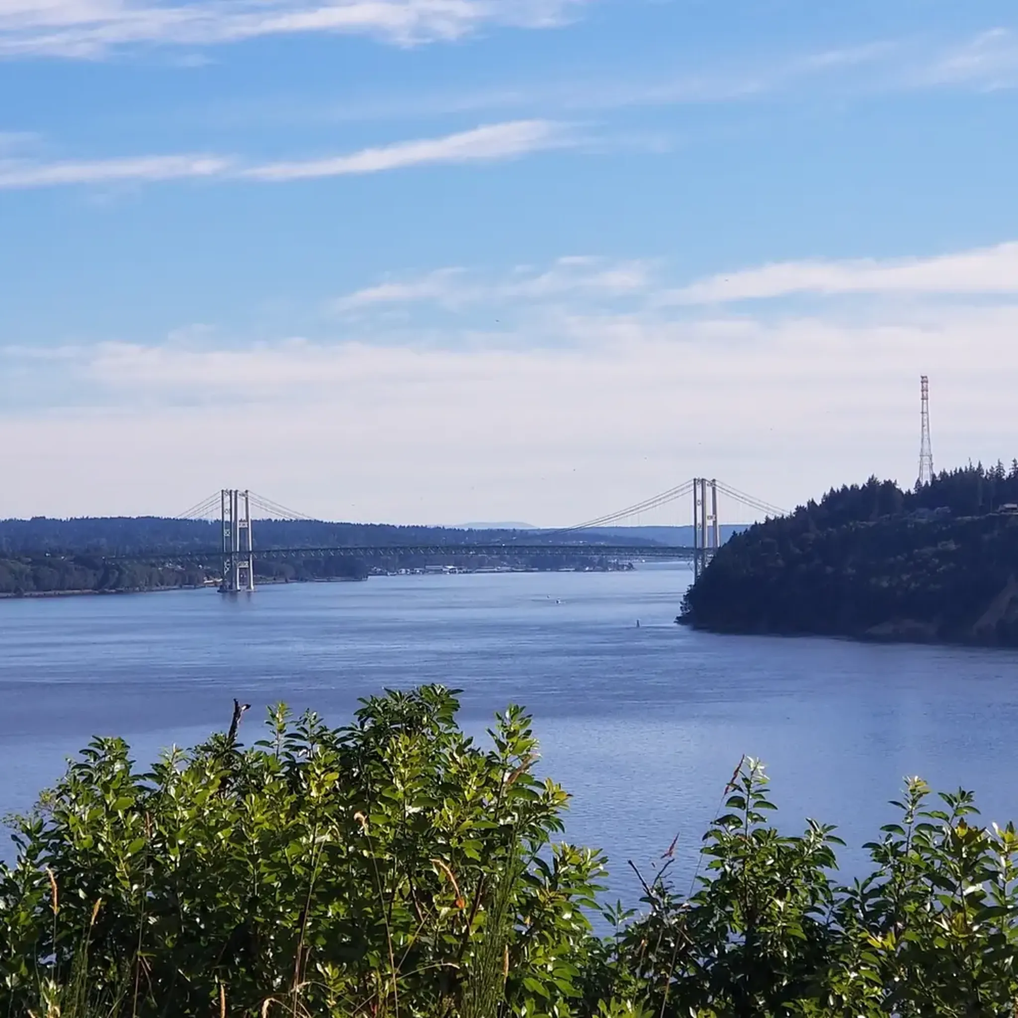
This is one of the many viewpoints throughout Point Defiance Park that offers stunning views of the water, Tacoma Narrows Bridge, and Gig Harbor.
0
0
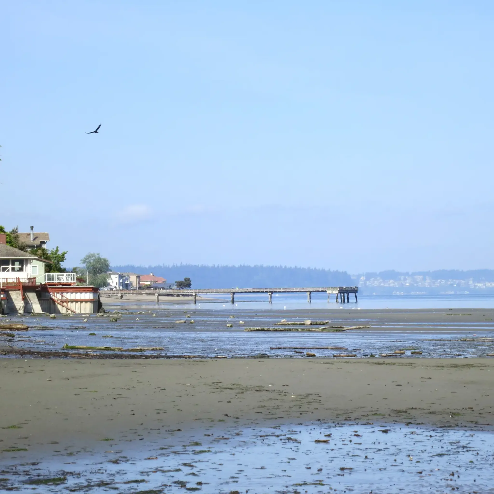
A nice paved trail runs along this beach area, accompanied by a small park right next to the beach. The park features a beach pavilion, a whale sculpture play area, and plenty of benches, making it a great spot to take a break.
0
0

Dickman Mill Park is the site of an abandoned lumber mill. There are some ruins of the mill along with views out onto the water from the short out-and-back path traveling through the park.
0
0

Ruston Way Trail is an excellent multi-use paved trail connecting several small parks along the scenic waterfront. Be alert as you ride this path, as it is a popular route for pedestrians, runners and the occasional carriage.
0
0
Frequently Asked Questions
What kind of terrain can I expect on touring cycling routes in Dash Point State Park?
Dash Point State Park offers a mix of terrain. While many internal trails are unpaved and better suited for mountain biking, some wider dirt paths may be navigable for touring bikes equipped with wider tires. You'll find routes that traverse lush forested areas with mature conifer and deciduous trees, crisscrossed by creeks and ravines, as well as routes offering scenic saltwater shoreline views along Puget Sound.
Are there any easy touring cycling routes suitable for beginners in Dash Point State Park?
Yes, there are easy routes available. For instance, the Fireboat No. 1 – Ruston Way Waterfront Path loop from University of Puget Sound is an easy 8.1-mile (13.1 km) trail that offers scenic views along the waterfront and can be completed in about 47 minutes.
What are the best routes for experiencing the scenic waterfront views?
For stunning waterfront views, you can explore routes like the Ruston Way Waterfront Path – Narrows Viewpoint loop from University of Puget Sound. This moderate 17-mile (27.4 km) route offers picturesque vistas along the Puget Sound shoreline.
Are there any circular touring cycling routes in the area?
Yes, many of the touring cycling routes in and around Dash Point State Park are designed as loops. For example, the Bike loop from 6th Ave is a moderate 16.1-mile (25.9 km) path that takes you through varied urban and natural settings.
What do other touring cyclists enjoy most about cycling in Dash Point State Park?
The touring cycling routes in Dash Point State Park are highly rated by the komoot community, with an average score of 4.9 stars from more than 30 reviews. Cyclists often praise the diverse landscape, including saltwater shoreline views and forested areas, as well as the varied terrain that offers options for different ability levels.
Are there any challenging routes for experienced touring cyclists?
Yes, for more experienced touring cyclists seeking a challenge, routes like the Fort Nisqually – Ruston Way Waterfront Path loop from Tacoma Dome offer a difficult 59-mile (95 km) ride with significant elevation changes, providing a rewarding experience.
Can I bring my family for a touring cycling trip in Dash Point State Park?
Dash Point State Park offers a family-friendly environment, particularly for activities like beach exploration and hiking. For cycling, while many internal trails are unpaved, easier and wider paths, especially those connecting to the park's vicinity, can be suitable for families with sturdy touring bikes or those looking for a more casual ride. Always check specific route details for suitability.
What natural features can I expect to see while cycling in the park?
While cycling, you can expect to encounter diverse natural features. The park boasts over 3,300 feet of saltwater shoreline along Puget Sound, offering unobstructed views. Inland, you'll ride through lush forested areas with mature conifer and deciduous trees, and some trails are crisscrossed by creeks and ravines. Keep an eye out for marine ecosystems during low tides and various bird species.
Is there parking available for cyclists at Dash Point State Park?
Yes, Dash Point State Park provides various amenities, including parking areas for visitors. You can find parking within the park, making it convenient to access the trails and start your cycling adventure. For specific parking information and any potential fees, it's advisable to check the official Washington State Parks website: Dash Point State Park.
What is the best time of year to go touring cycling in Dash Point State Park?
The park is accessible year-round, but the best time for touring cycling generally aligns with drier weather. Spring and fall offer pleasant temperatures and beautiful scenery with changing foliage or blooming wildflowers. Summer is also popular, though trails can be busier. Always check local weather conditions before heading out, as some unpaved sections might be muddy after heavy rain.
Are there any permits required for cycling on the trails in Dash Point State Park?
A Discover Pass is required for vehicle access to state parks in Washington, including Dash Point State Park. This pass supports the maintenance and operation of state recreation lands. You can purchase a day-use or annual pass. For detailed information on permits and fees, please visit the official Washington State Parks website: Dash Point State Park.
Can I reach Dash Point State Park using public transport with my bike?
Dash Point State Park is located between Seattle and Tacoma. While public transport options exist in the region, bringing a bike on public transport can vary by service and time. It's recommended to check the specific policies of local transit providers (e.g., King County Metro or Pierce Transit) regarding bicycles on buses or other services to plan your trip effectively.
Most popular routes in Dash Point State Park

Get inspired with the komoot mobile app


Explore more
Browse the best Cycling routes in other regions.
