The best road cycling routes in Wenatchee Confluence State Park
5.0
(2)
406
riders
22
rides
Road cycling in Wenatchee Confluence State Park is characterized by its location at the confluence of the Columbia and Wenatchee rivers, offering routes with consistent river views. The terrain is predominantly flat, making it accessible for various fitness levels. The park features paved trails that wind through riverfront areas, providing scenic vistas and minimal elevation changes. This natural setting, combined with well-developed recreational infrastructure, makes it suitable for road cycling.
Best road cycling routes in Wenatchee Confluence State Park
- The…
Last updated: July 16, 2026
15
riders
60.6km
02:54
470m
470m
Moderate road ride. Good fitness required. Mostly well-paved surfaces and easy to ride.
7
riders
40.4km
01:59
320m
320m
Moderate road ride. Good fitness required. Mostly well-paved surfaces and easy to ride.

Sign up for free
9
riders
29.4km
01:27
330m
320m
Moderate road ride. Good fitness required. Mostly well-paved surfaces and easy to ride.
7
riders
25.4km
01:16
230m
230m
Easy road ride. Great for any fitness level. Mostly well-paved surfaces and easy to ride.
7
riders
37.0km
02:08
470m
470m
Moderate road ride. Good fitness required. Some segments of this route may be unpaved and difficult to ride.
Get access to more routes and recommendations from other explorers.
Sign up for free
Already have an account?
Our route recommendations are based on thousands of hikes, rides, and runs completed by other people on komoot.
Start today with a free account
Your next adventure awaits.
Login or Signup
Popular around Wenatchee Confluence State Park
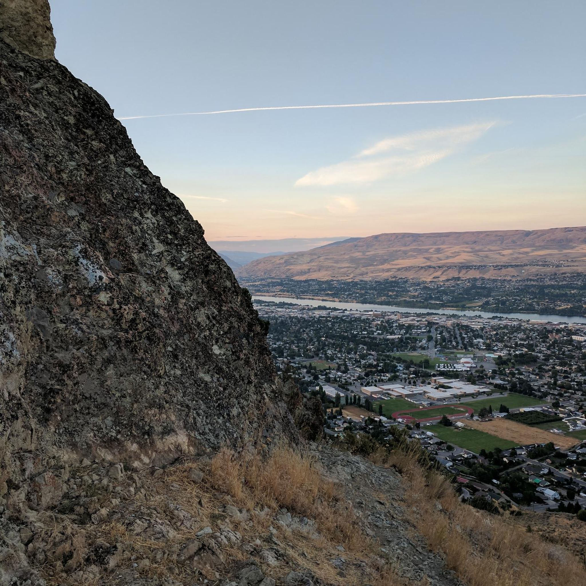
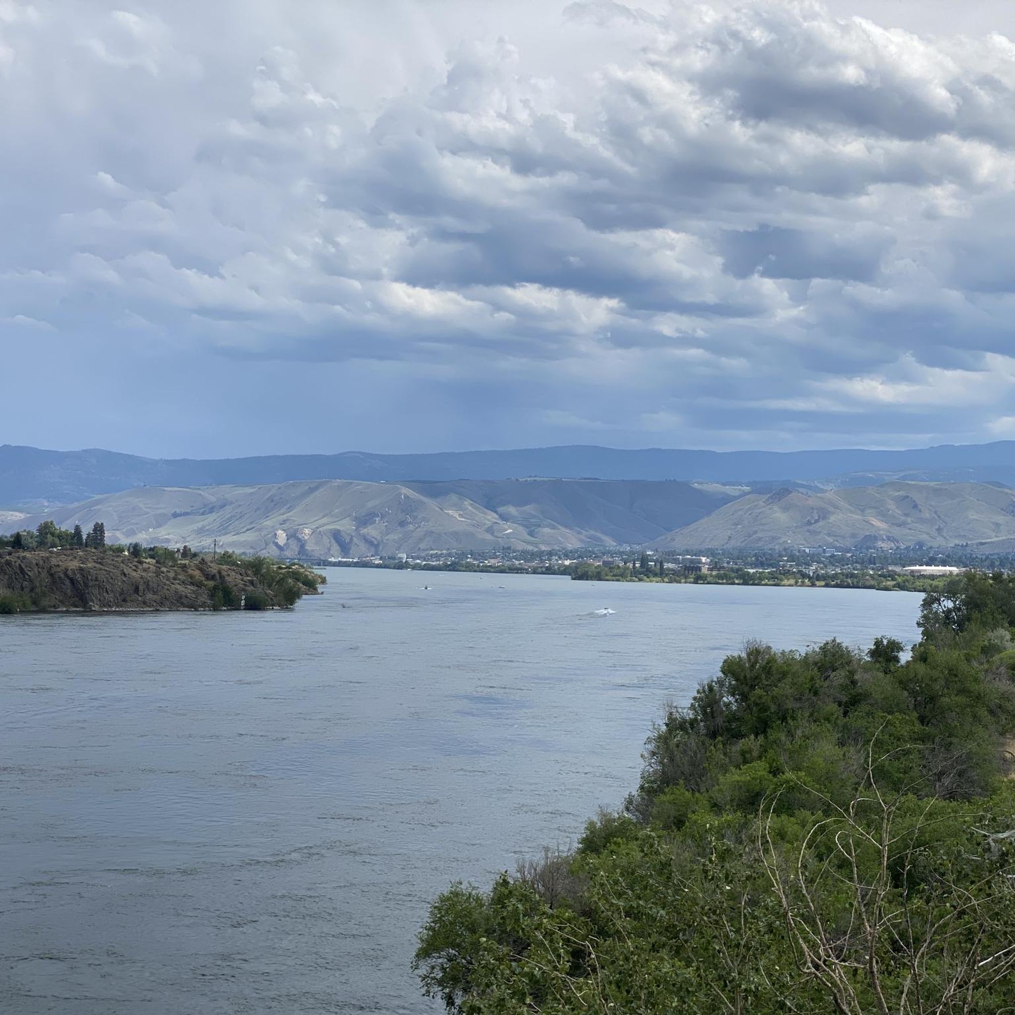


Tips from the Community

The Apple Capital Recreation Loop Trail is a 10-mile paved trail that runs on both sides of the Columbia River. The trail runs through several parks and connects to a couple of other bike trails.
1
0

Old Monitor Road is a partly paved and partly asphalted road that leads for a short section from Cashmere to the community of Monitor. It follows the path of Wenatchee River through beautiful nature with great views.
0
0
Wenatchee Confluence State Park, situated at the confluence of the Wenatchee and Columbia Rivers in Washington, offers a picturesque blend of natural beauty and recreational amenities. It features picnic areas, and water access, and serves as a tranquil escape.
0
0
Apple Capital Recreation Loop Trail is a scenic trail located in Wenatchee, Washington. It's a paved loop that spans along the Columbia River, which it crosses twice as well. It offers great views of the river and the surrounding landscape and is popular for cycling, walking, and running.
0
0
Frequently Asked Questions
What kind of terrain can I expect on road cycling routes in Wenatchee Confluence State Park?
Road cycling routes in Wenatchee Confluence State Park are predominantly flat, featuring paved trails that wind through riverfront areas. The terrain offers scenic vistas with minimal elevation changes, making it accessible for various fitness levels. The park is situated at the confluence of the Columbia and Wenatchee rivers, providing consistent river views throughout many rides.
Are there any easy, family-friendly road cycling routes in the park?
Yes, the park is very family-friendly. The Rocky Reach Trail loop from Wenatchee Confluence State Park is an easy 12.4-mile (19.9 km) route that offers river views and connects to the Apple Capital Loop Trail. Another easy option is the Walla Walla Point Park – Riverfront Park loop from Wenatchee Confluence State Park, a 5.8-mile (9.3 km) path with views of the Columbia River.
What are some notable natural features or landmarks to see while cycling?
The park's defining natural feature is the dramatic confluence of the Columbia and Wenatchee rivers, offering stunning viewing opportunities. Cyclists can also explore the Horan Natural Area, a restored wetland preserve with two miles of gravel paths and interpretive signs, accessible via a pedestrian footbridge. This area is excellent for observing over 200 species of birds and waterfowl.
Are there any loop trails for road cycling in Wenatchee Confluence State Park?
Yes, the park is well-known for its loop trails. The Apple Capital Loop Trail is a paved, 10-mile (16 km) loop that is Washington's longest loop trail, offering consistent river views. This trail also connects to the paved Rocky Reach Trail, extending the ride. Other popular loops include the Monitor loop and the Malaga loop.
What do other road cyclists say about the routes in Wenatchee Confluence State Park?
The road cycling routes in Wenatchee Confluence State Park are highly rated by the komoot community, with an average score of 5.0 stars. Cyclists often praise the consistent river views, the well-maintained paved trails, and the accessibility for various fitness levels due to the predominantly flat terrain.
Is there parking available for road cyclists at Wenatchee Confluence State Park?
Yes, Wenatchee Confluence State Park offers ample parking facilities for visitors, including those coming for road cycling. The park is designed with recreational access in mind, making it convenient to start your ride.
Can I access downtown Wenatchee from the park by bike?
Yes, a shorter 2.2-mile path provides easy access from Wenatchee Confluence State Park directly into downtown Wenatchee. This allows cyclists to conveniently visit local cafes or shops during their ride.
Are there longer road cycling routes for more experienced riders?
For those seeking longer rides, the Odabashian Bridge – Walla Walla Point Park loop from Wenatchee Confluence State Park is a moderate 37.7-mile (60.6 km) route. Additionally, the Apple Capital Loop Trail connects to the paved Rocky Reach Trail, extending the ride by another 5.5 miles up to Lincoln Rock State Park.
What kind of wildlife can be observed along the cycling routes?
The Horan Natural Area, located within the park, is a protected wetland preserve known for its diverse wildlife. Visitors can observe over 200 species of birds and waterfowl, including bald eagles and osprey, as well as mink, muskrat, river otters, beaver, and raccoons. These animals can often be spotted from the paths along the rivers.
Are there any facilities or amenities within Wenatchee Confluence State Park?
Beyond cycling, the park offers a range of facilities. There is a designated swimming area along the Columbia River, a boat launch, and sports facilities including grassy fields, basketball, volleyball, and tennis courts. The park also provides year-round camping with 60 campsites, including 52 full hookup RV sites.
What is the best time of year to go road cycling in Wenatchee Confluence State Park?
Wenatchee Confluence State Park is generally enjoyable for road cycling throughout the warmer months, from spring through fall. The mild climate of the region, combined with the paved and mostly flat trails, makes it suitable for comfortable rides. Always check local weather forecasts before heading out.
Most popular routes in Wenatchee Confluence State Park

Get inspired with the komoot mobile app


Explore more
Browse the best Road cycling routes in other regions.
