The best cycling routes in Deas Island Regional Park
4.6
(71)
601
riders
23
rides
Touring cycling in Deas Island Regional Park offers routes through a landscape characterized by its position on a peninsula in the lower Fraser River. The terrain is predominantly flat, featuring river views, marshes, and meadows. Routes often connect to the broader regional network, including the Millennium Trail, providing access to farmscapes and river bends. The park's infrastructure supports cycling with paved park roads and connections to external trails.
Best touring cycling routes in Deas Island Regional Park
- The most popular…
Last updated: July 9, 2026
4.3
(15)
30
riders
Moderate bike ride. Good fitness required. Mostly paved surfaces. Suitable for all skill levels.
4.3
(7)
69
riders
Moderate bike ride. Good fitness required. Mostly paved surfaces. Suitable for all skill levels.

Sign up for free
4.1
(11)
8
riders
Moderate bike ride. Good fitness required. Mostly paved surfaces. Suitable for all skill levels.
5.0
(1)
3
riders
Easy bike ride. Great for any fitness level. Mostly paved surfaces. Suitable for all skill levels.
7
riders
Easy bike ride. Great for any fitness level. Mostly paved surfaces. Suitable for all skill levels.
Get access to more routes and recommendations from other explorers.
Sign up for free
Already have an account?
Our route recommendations are based on thousands of hikes, rides, and runs completed by other people on komoot.
Start today with a free account
Your next adventure awaits.
Login or Signup
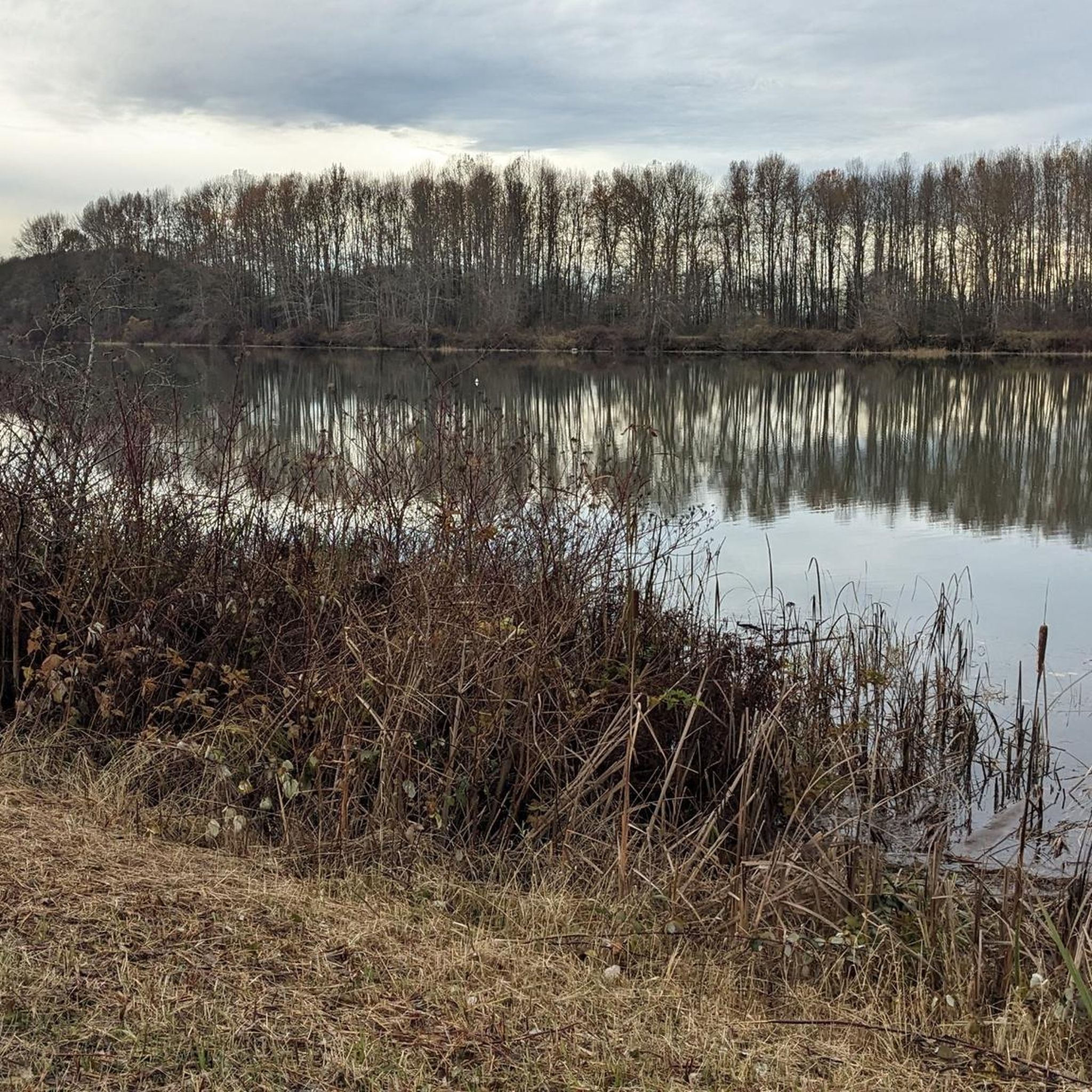
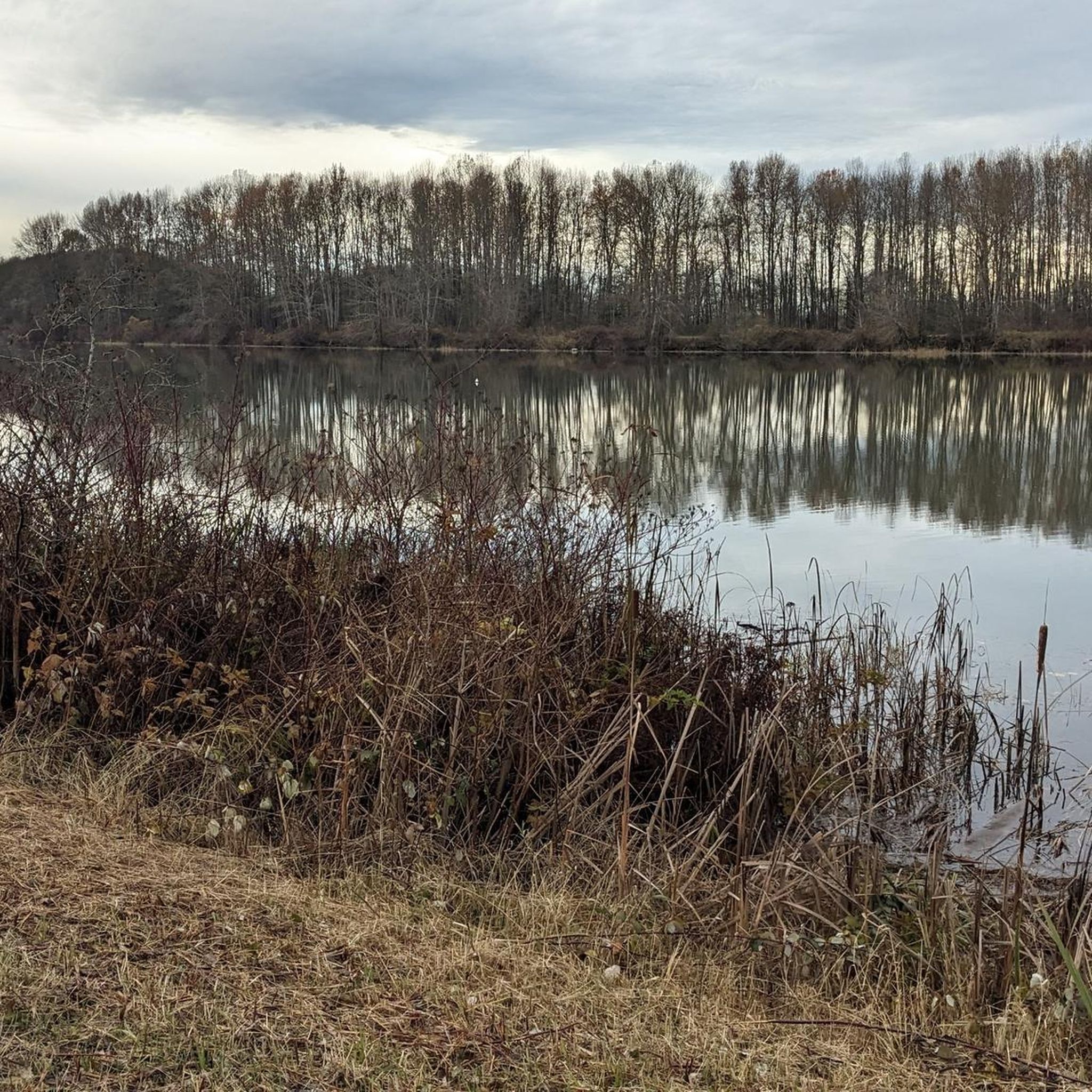
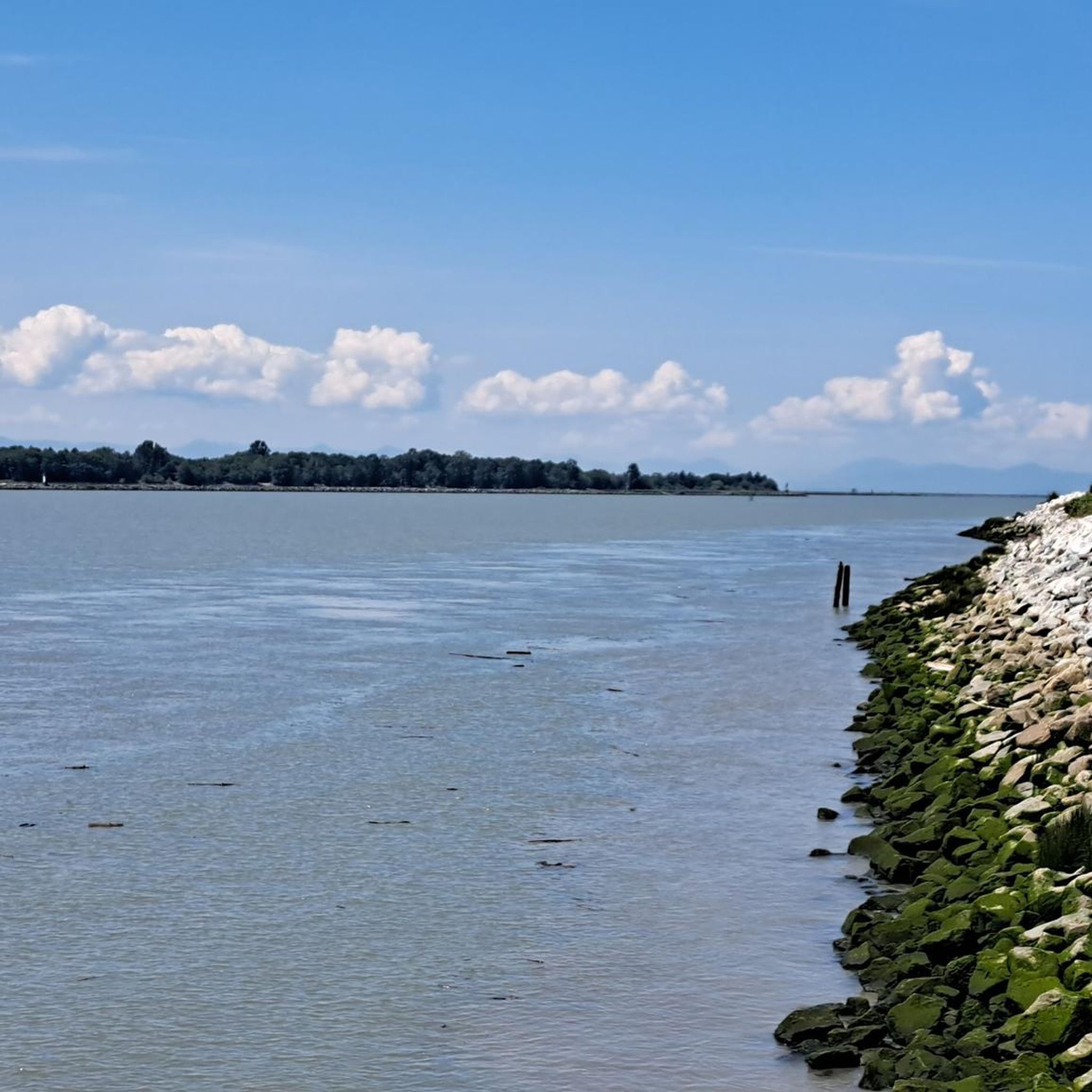
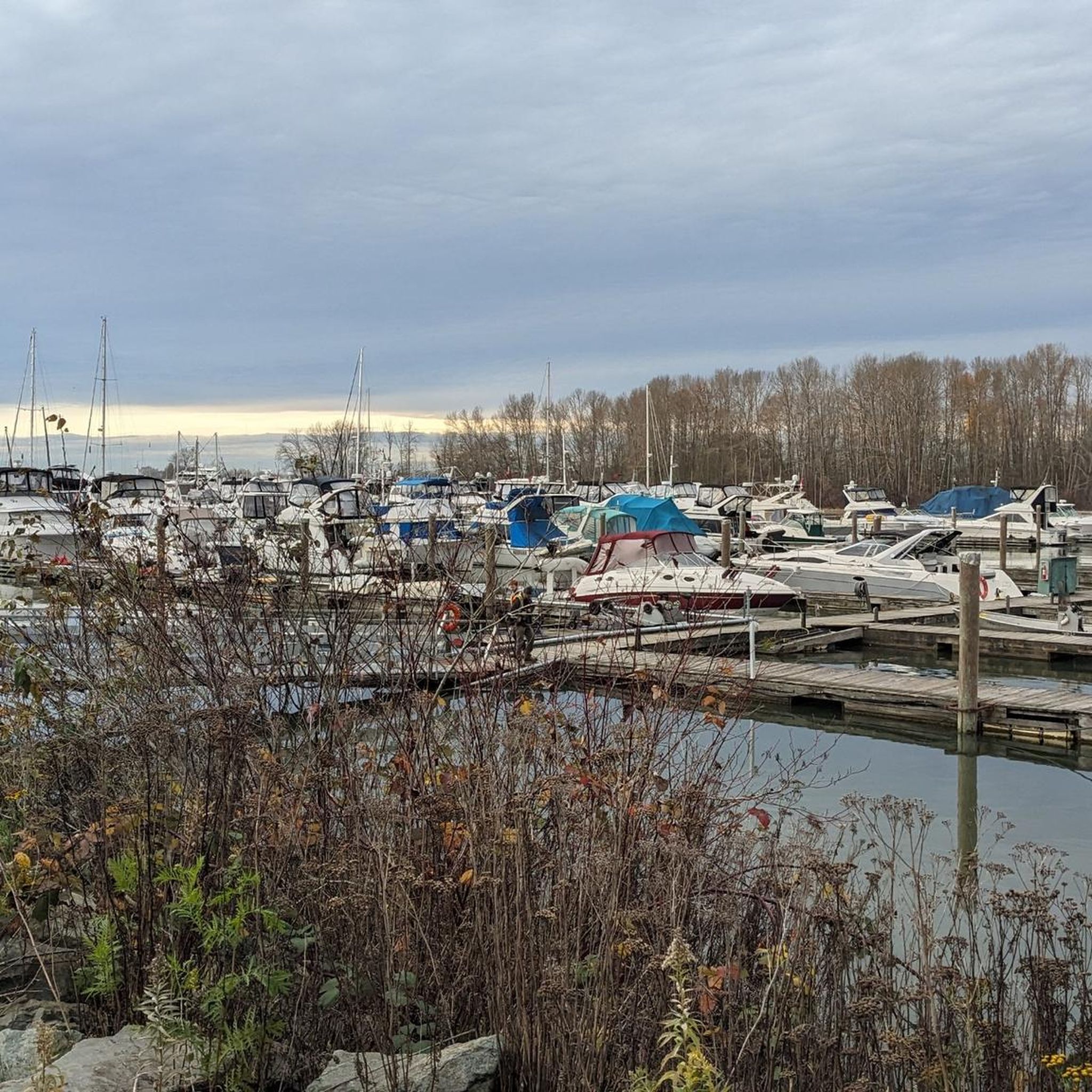
Tips from the Community

This 5.5-kilometer multi-use trail follows along the middle arm of the Fraser River and passes through or by a number of parks, sculpture gardens, and viewpoints. It also connects with the West Dyke Trail at its western end if you're looking to do a longer excursion.
0
0

Beach Grove Park is a lovely mix of open lawns with pockets of mature trees, with flat, well-kept paths that wind through the park, connecting playgrounds, sports courts, picnic areas, and off-leash spaces. Its laid-back, neighbourhood feel makes it a convenient spot for a quick stroll or casual time outdoors.
0
0

You can find a mix of flat gravel trails connecting a boardwalk and wildlife viewing area, community garden, playground and restrooms. The small spiral trail up a low hill on the west side of the park is a great spot from which to watch the sunset.
1
0
This park has well-maintained easy walking trails, clean restrooms, and panoramic views of the Fraser River and open ocean to the east. In the spring you can come here to see the orchard of cherry blossom trees lining the path.
0
0

Be mindful of equestrians and give them as much space as possible.
0
0

Terra Nova Rural Park is located along West Dyke Trail in the Thompson neighborhood. It borders the Sturgeon Bank Wildlife Management Area and offers magnificent views of the Salish Sea. (Visit May 31, 2025) South of the park lies the Terra Nova Natural Area. Source: https://www.richmond.ca/parks-recreation/parks/parksearch/park.aspx?ID=80
2
0

Fred Gingell Park is a scenic park in Tsawwassen, Delta, BC, overlooking the Strait of Georgia. It’s known for its spectacular bluff-top views, especially at sunrise and sunset. The park features a steep stairway down the cliffside to the beach, which makes it popular for fitness enthusiasts as well as for those looking to enjoy the shoreline. The park is named in memory of Fred Gingell (1930–1999), a respected local politician, community leader, and MLA for Delta South.
0
0
Britannia Shipyards National Historic Site, located at 5180 Westwater Drive, Richmond, BC, is an 8-acre waterfront park along the Fraser River in Steveston Village. A living history museum, it preserves a once-thriving community of canneries, boatyards, and residences dating back to 1885. The site highlights the multicultural stories of Chinese, European, First Nations, and Japanese workers who supported the fishing and boatbuilding industries. Designated a National Historic Site in 1992, it features heritage buildings, wooden boat restoration, exhibits, and a boardwalk.
0
0
Frequently Asked Questions
How many touring cycling routes are available in Deas Island Regional Park?
There are over 25 touring cycling routes available in Deas Island Regional Park, offering a variety of options for exploring the area. These routes are highly rated by the komoot community, with an average score of 4.6 stars.
What kind of terrain can I expect on touring cycling routes in Deas Island Regional Park?
The terrain in Deas Island Regional Park is predominantly flat, making it suitable for touring cyclists of various fitness levels. Routes often follow dyke paths and paved park roads, with some sections connecting to the Millennium Trail which features both gravel and paved surfaces. You'll enjoy scenic river views, marshes, and meadows.
Are there any easy touring cycling routes suitable for beginners or families?
Yes, Deas Island Regional Park offers several easy touring cycling routes perfect for beginners or families. For example, the route Massey Tunnel Bike Underpass – Highway 99 Underpass, Delta loop from Ladner is an easy 25.2 miles (40.6 km) option. Another easy route is Fred Gingell Park – Tsawwassen Totem Pole loop from Arthur Drive Conservation Area, which is 23.9 miles (38.4 km) long.
What natural features and wildlife can I see while cycling in the park?
While cycling, you can enjoy scenic river views along the Fraser River, explore marshes, meadows, and even sand dunes. The park is a rich habitat for wildlife; you might spot soaring hawks and eagles, migratory birds along the Slough View Trail, and smaller birds like warblers and chickadees. Seals can occasionally be seen in the Fraser River from the Island Tip Trail.
Are there any historical landmarks or points of interest along the cycling routes?
Yes, Deas Island Regional Park is home to several historical buildings. You can find Burrvilla (built 1906), the Inverholme Schoolhouse (built 1909), and the Delta Agricultural Hall within the park, offering glimpses into the region's past. These heritage sites add a cultural dimension to your cycling experience.
Can I bring my dog on the cycling routes in Deas Island Regional Park?
While the park is generally dog-friendly for walking, cycling with dogs might be restricted to specific areas or require them to be on a leash. It's best to check specific park regulations regarding dogs on cycling trails to ensure a pleasant and compliant visit for both you and your pet.
Are there circular touring cycling routes available in the park?
Yes, many of the touring cycling routes in Deas Island Regional Park are designed as loops, allowing you to start and end at the same point. Examples include the popular Massey Tunnel Bike Underpass – Highway 99 Underpass, Delta loop from George Massey Tunnel and Dyke Gravel Path – Bridgeport Station loop from George Massey Tunnel.
Where can I park my car when visiting Deas Island Regional Park for cycling?
Deas Island Regional Park provides ample free parking, making it convenient for cyclists to unload their bikes and begin their journey. The park serves as a strategic starting point for exploring the broader regional cycling network.
Is Deas Island Regional Park accessible by public transport for cyclists?
While the park itself is not directly serviced by public transport in a way that easily accommodates bikes for touring, its connection to the Millennium Trail and proximity to regional cycling infrastructure means it can be reached by bike from areas accessible by public transport. However, direct public transport options for bringing bikes into the park are limited.
What is the best time of year to go touring cycling in Deas Island Regional Park?
The park is enjoyable for cycling in any season, but late fall and early spring are particularly good for birdwatching, especially along the Slough View Trail, due to migratory birds. The mild-to-no elevation of the trails makes it accessible for most of the year, weather permitting.
Are there places to eat or get refreshments near the cycling routes?
While Deas Island Regional Park itself is more focused on natural and historical attractions, it is connected to the broader region. Cycling routes can extend to nearby communities like Ladner or Steveston, where you will find various cafes and amenities to refuel during or after your ride.
What do other touring cyclists enjoy the most about touring cycling in Deas Island Regional Park?
The area is highly rated by the komoot community, with an average score of 4.6 stars from over 60 reviews. Reviewers often praise the flat dyke paths, the scenic Fraser River views, and the convenient connections to the Millennium Trail, which allows for longer, varied rides through picturesque farmscapes and river bends.
Most popular routes in Deas Island Regional Park

Get inspired with the komoot mobile app


Explore more
Browse the best Cycling routes in other regions.
