The best cycling routes in Grouse Mountain Regional Park
4.7
(406)
5,054
riders
44
rides
Touring cycling in Grouse Mountain Regional Park offers routes through a landscape characterized by dense coniferous forests, mountain slopes, and proximity to the Pacific coastline. The region features varied terrain, from lower elevation paths near waterways to ascents on the mountain's flanks. This environment provides a range of gradients and scenic backdrops for cycling. The surrounding areas offer diverse cycling routes, including challenging ascents and coastal paths with views of the North Shore Mountains.
Best touring cycling routes in Grouse Mountain Regional Park
- The most popular touring cycling route is Hollyburn Sailing Club Beach loop from Capilano Suspension Bridge Park, an 18.0 miles (29.0 km) trail that takes 1 hour 49 minutes to complete, offering views of the coastline and local landmarks.
- Another top favourite among local touring cyclists is Halfway Hairpin – Seymour Trailway loop from North Vancouver, a difficult 32.3 miles (52.0 km) path. This route navigates through forested areas and includes notable elevation changes.
- Local touring cyclists also love the 3rd Street Bike Bridge – Mackey Creek Bridge loop from Capilano Suspension Bridge Park, a 22.4 miles (36.0 km) trail leading through varied terrain with significant elevation gain, often completed in about 2 hours 26 minutes.
- Touring cycling in Grouse Mountain Regional Park is defined by mountain slopes, dense forests, and coastal views. The network offers options for different ability levels, from easy riverside paths to more challenging ascents.
- The routes in Grouse Mountain Regional Park are highly rated by the komoot community with an average score of 4.7 stars from over 330 reviews. More than 4000 touring cyclists have used komoot to explore Grouse Mountain Regional Park's varied terrain.
Last updated: August 15, 2026
4.0
(1)
16
riders
Moderate bike ride. Good fitness required. Mostly paved surfaces. Suitable for all skill levels.
8
riders
Hard bike ride. Very good fitness required. Mostly paved surfaces. Suitable for all skill levels.

Sign up for free
13
riders
Moderate bike ride. Good fitness required. Mostly paved surfaces. Suitable for all skill levels.
4.8
(31)
529
riders
51.9km
04:08
650m
650m
Hard bike ride. Very good fitness required. Mostly paved surfaces. Suitable for all skill levels.
5.0
(8)
107
riders
Easy bike ride. Great for any fitness level. Mostly paved surfaces. Suitable for all skill levels.
Get access to more routes and recommendations from other explorers.
Sign up for free
Already have an account?
Our route recommendations are based on thousands of hikes, rides, and runs completed by other people on komoot.
Start today with a free account
Your next adventure awaits.
Login or Signup
Popular around Grouse Mountain Regional Park

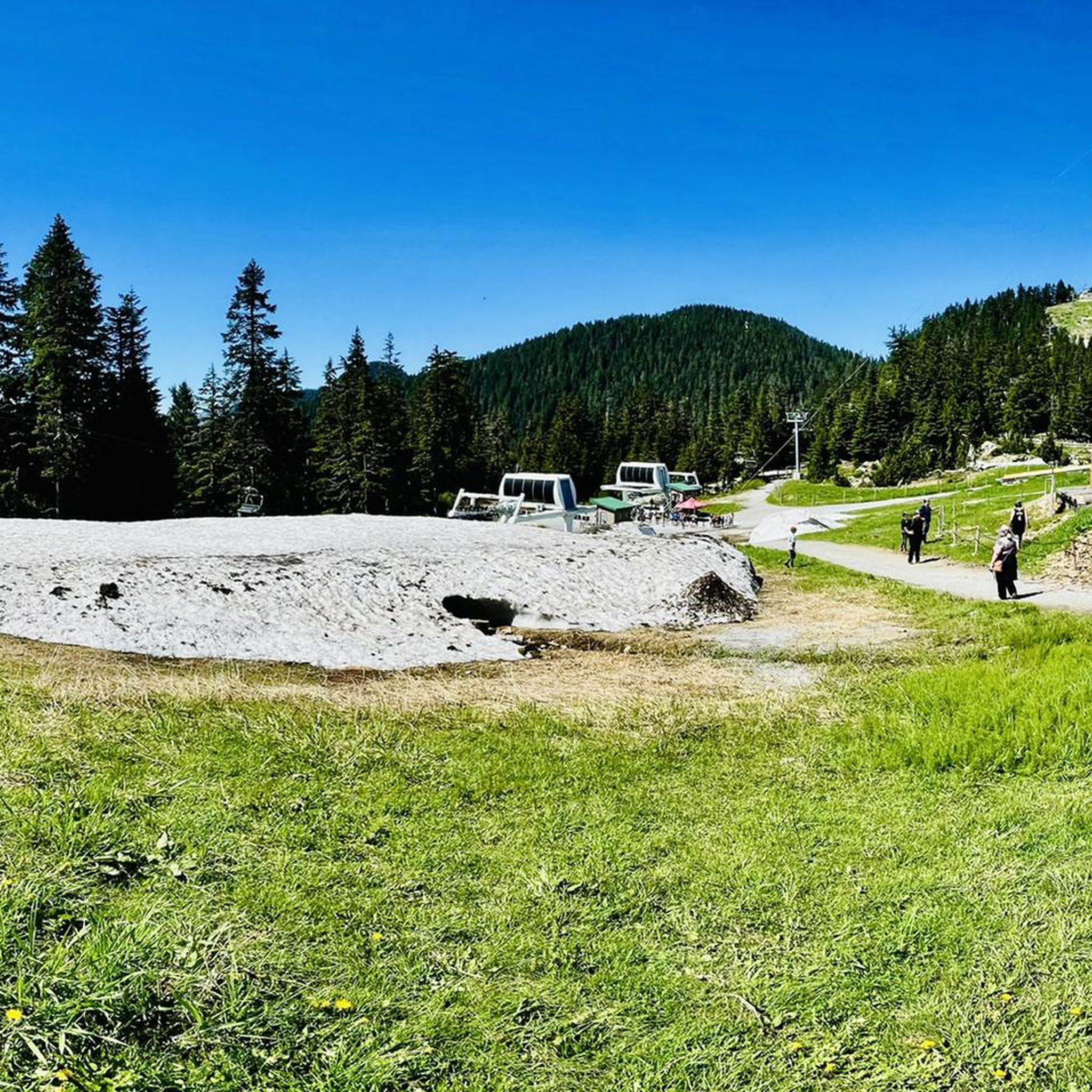
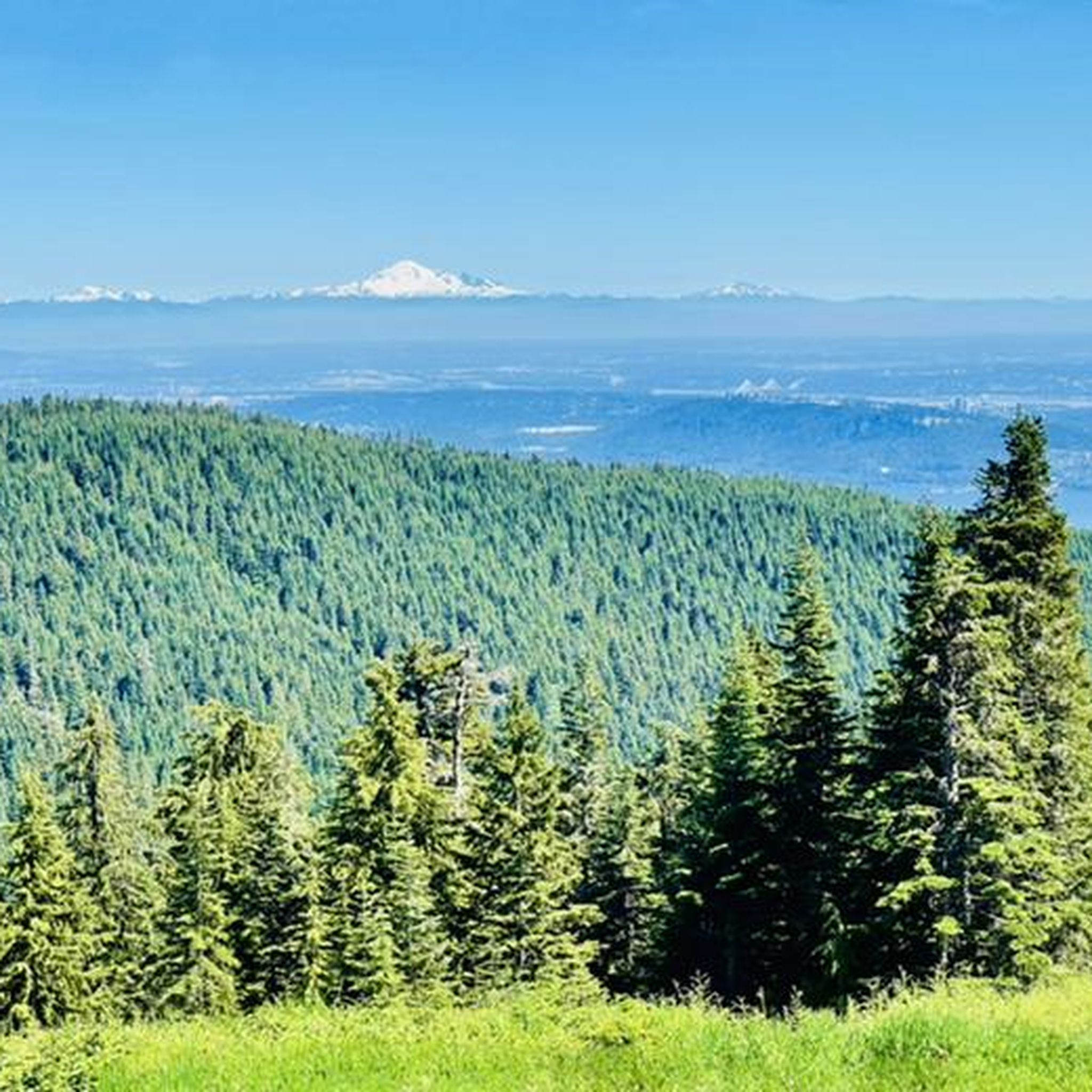
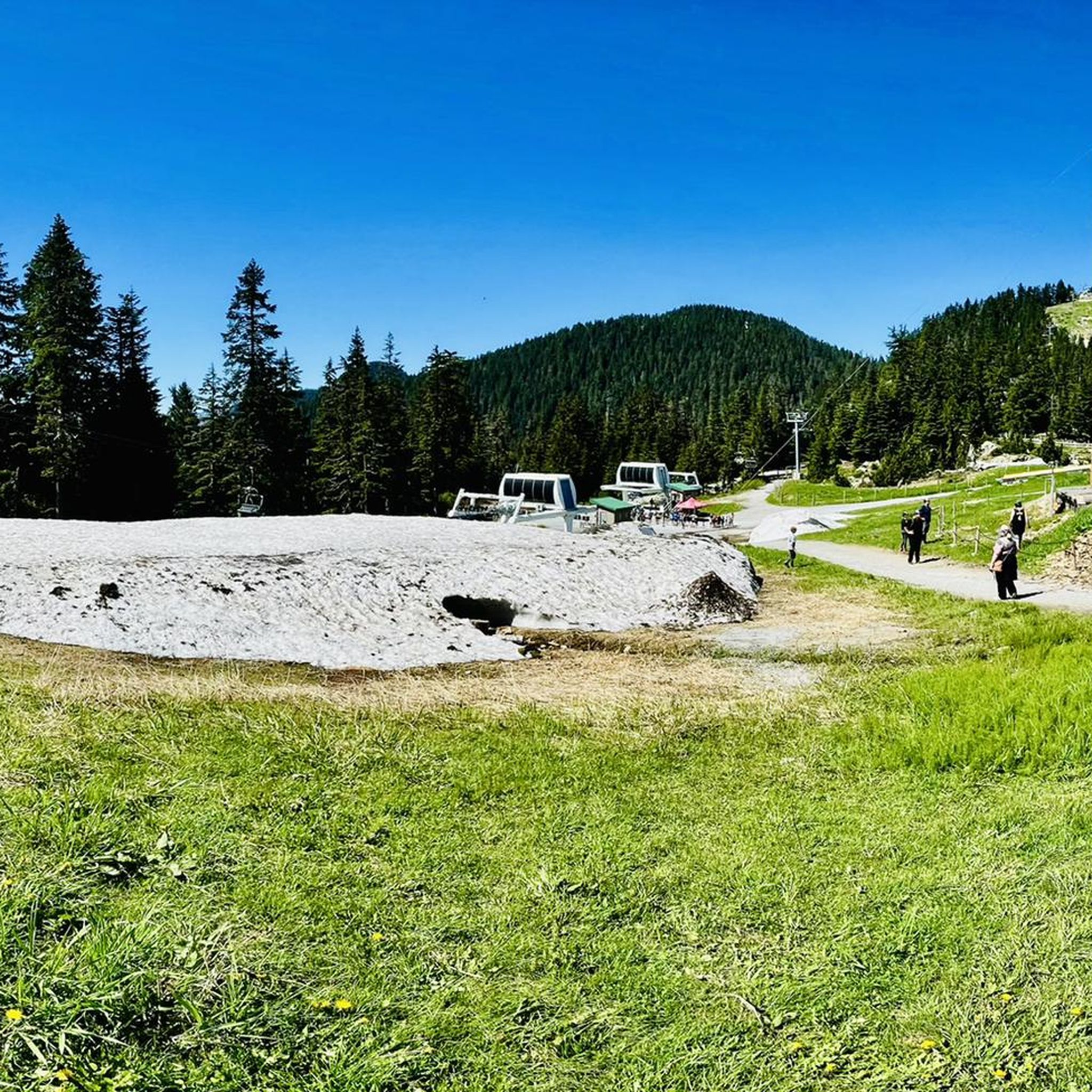
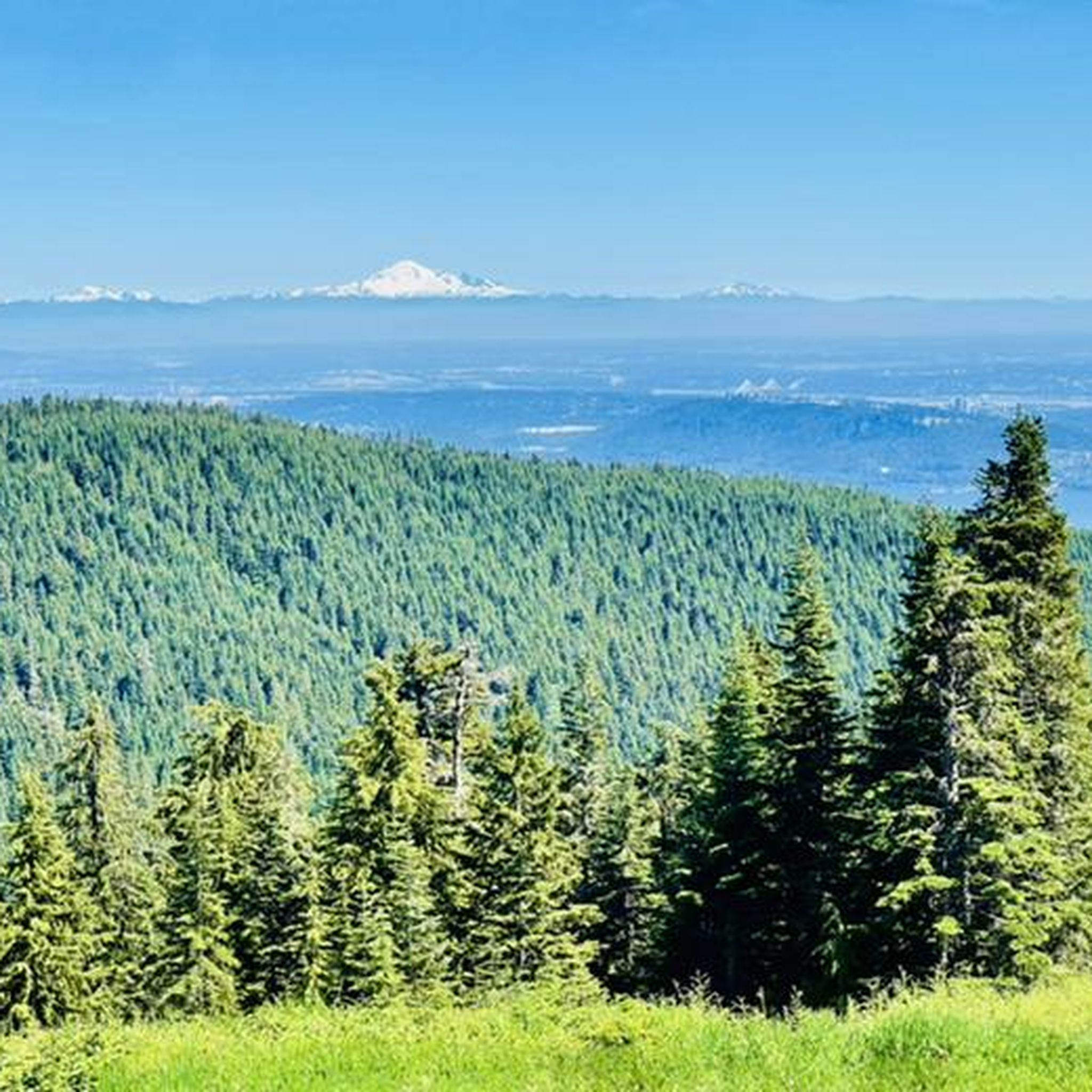
Other adventures in Grouse Mountain Regional Park

Tips from the Community

The Spirit Trail follows the coast of North Van, passing by the pond and sports courts here in Ambleside Park. The trail is divided into two lanes, one for hiking and slower cyclists and one for commuting cyclists.
0
0
The southern end of the Mosquito Creek trail takes you through Mosquito Creek park, where there are some wooded trails to explore, to a playground and trailhead off W 17th.
0
0

Located right near the peaceful Roche Point Park, this club offers you a chance to enjoy nature while playing on a high-quality course. Even if you are not a golfer, the area around the club is perfect for a relaxing stroll, as the nearby park trails offer a calm space to listen to the birds and enjoy the local plants.
0
0

A really beautiful place to walk.
3
0

Anything to help me get out of Greater Vancouver is a good thing.
0
0

The Seymour River Suspension Bridge was completed and opened in December 2018. This made it possible to walk the Fisherman's Trail (North) all the way through again. After the former Twin Bridges had to be demolished in 2014 following a rockslide and damming of the Seymour River, there was no longer a crossing at this point in the Lower Seymour Conservation Reserve. The Twin Bridges were originally built in 1908 to carry pipelines and were later supplemented by a parallel pedestrian bridge. Years later, the two bridges were combined to form one bridge. https://www.vancouvertrails.com/blog/seymour-river-suspension-bridge/
2
0
The Pipeline Bridge is a pedestrian bridge over Lynn Creek, offering views of the creek in the gorge. The bridge was built in 1993 and serves as one of the park entrances to Lynn Canyon Park and Rice Lake in the Lower Seymour Conservation Reserve. The bridge was built over existing pipelines. A few meters upstream is the Old Pipe Bridge, which is not open to the public.
3
0
Frequently Asked Questions
How many touring cycling routes are available in Grouse Mountain Regional Park?
There are over 50 touring cycling routes in Grouse Mountain Regional Park, catering to various skill levels. You'll find a good mix of easy, moderate, and difficult paths to explore.
Are there family-friendly touring cycling routes in Grouse Mountain Regional Park?
Yes, the park offers several easy touring cycling routes suitable for families. For instance, the Hollyburn Sailing Club Beach – Mosquito Creek Bridge loop from North Vancouver is an easy option, covering about 13.6 km with minimal elevation changes, making it ideal for a relaxed family ride.
What is the best time of year for touring cycling in Grouse Mountain Regional Park?
The best time for touring cycling in Grouse Mountain Regional Park is typically from late spring through early autumn (May to October). During these months, the weather is generally mild, and the trails are clear of snow, offering optimal conditions for cycling and enjoying the scenic views.
Are there any circular touring cycling routes in the park?
Many of the touring cycling routes in Grouse Mountain Regional Park are designed as loops, allowing you to start and finish at the same point. Examples include the popular Hollyburn Sailing Club Beach loop from Capilano Suspension Bridge Park and the Brockton Point Lighthouse – Lions Gate Bridge Bike Route loop from North Vancouver.
What kind of terrain can I expect on touring cycling routes in Grouse Mountain Regional Park?
The terrain varies significantly, ranging from lower elevation paths near waterways to ascents on the mountain's flanks. You'll encounter dense coniferous forests, mountain slopes, and coastal areas, providing a diverse cycling experience with both paved and well-maintained gravel sections.
How can I reach Grouse Mountain Regional Park by public transport for cycling?
Public transport options are available to access areas near Grouse Mountain Regional Park. TransLink buses serve the North Vancouver area, with routes that can get you close to various starting points for touring cycling routes. It's advisable to check the TransLink website for specific routes and schedules that accommodate bicycles.
Where can I park my car when visiting Grouse Mountain Regional Park for cycling?
Parking is available at various access points around Grouse Mountain Regional Park and nearby North Vancouver areas. Specific parking availability can depend on your chosen route's starting point. Popular spots often include parking lots near major trailheads or public parking in North Vancouver, though these can fill up quickly during peak season.
What should I bring for a touring cycling trip in Grouse Mountain Regional Park?
For touring cycling in this region, it's recommended to bring appropriate cycling gear, including a helmet, water, snacks, and basic repair tools. Given the varied terrain and potential for changing weather, layers of clothing are advisable. A fully charged phone and a map or GPS device (like komoot) are also essential for navigation.
Are there scenic viewpoints along the touring cycling routes?
Yes, many routes offer stunning scenic viewpoints. You can expect vistas of the Pacific coastline, Burrard Inlet, and the surrounding mountains. Routes like the Hollyburn Sailing Club Beach loop from Capilano Suspension Bridge Park provide coastal views, while others ascend to offer panoramic mountain scenery.
What do other touring cyclists enjoy most about cycling in Grouse Mountain Regional Park?
The area is highly rated by the komoot community, with an average score of 4.7 stars from over 330 reviews. Reviewers often praise the diverse landscapes, from coastal paths to forested climbs, and the well-maintained routes that offer a rewarding experience for various skill levels. The combination of natural beauty and accessibility is frequently highlighted.
Can I find food and drink options near the touring cycling routes?
While the regional park itself is primarily natural, the surrounding areas of North Vancouver offer numerous cafes, restaurants, and pubs. Depending on your chosen route, you can often find establishments in nearby communities like West Vancouver or along the waterfront to refuel before or after your ride. For example, the 3rd Street Bike Bridge – View of Deep Cove Marina loop from North Vancouver passes through areas with amenities.
What are the difficulty levels of touring cycling routes in Grouse Mountain Regional Park?
The routes are categorized into easy, moderate, and difficult. There are 14 easy routes, 27 moderate routes, and 11 difficult routes. This variety ensures that both casual riders and experienced touring cyclists can find suitable challenges, from gentle riverside paths to routes with significant elevation changes like the Halfway Hairpin – Seymour Trailway loop from North Vancouver.
Most popular routes in Grouse Mountain Regional Park

Get inspired with the komoot mobile app


Explore more
Browse the best Cycling routes in other regions.
