The best road cycling routes in Maudslay State Park
4.1
(52)
962
riders
133
rides
Road cycling in Maudslay State Park offers routes through a landscape characterized by riverine paths, coastal stretches, and a network of bridges. The terrain is generally flat to gently rolling, with minimal elevation changes, making it accessible for various skill levels. This area, located in Essex County, provides a mix of natural scenery and views of waterways. The road biking trails in Maudslay State Park primarily feature paved surfaces suitable for road bikes.
Best road cycling routes in Maudslay State…
Last updated: July 16, 2026
5.0
(3)
50
riders
Easy road ride. Great for any fitness level. Mostly well-paved surfaces and easy to ride.
4.0
(8)
8
riders
49.2km
02:18
340m
340m
Moderate road ride. Good fitness required. Mostly well-paved surfaces and easy to ride.

Sign up for free
5.0
(1)
9
riders
47.5km
01:59
140m
140m
Easy road ride. Great for any fitness level. Mostly well-paved surfaces and easy to ride.
4.0
(1)
71
riders
Moderate road ride. Good fitness required. Some segments of this route may be unpaved and difficult to ride.
23
riders
Moderate road ride. Good fitness required. Mostly well-paved surfaces and easy to ride.
Get access to more routes and recommendations from other explorers.
Sign up for free
Already have an account?
Our route recommendations are based on thousands of hikes, rides, and runs completed by other people on komoot.
Start today with a free account
Your next adventure awaits.
Login or Signup
Popular around Maudslay State Park

Tips from the Community

One of its most famous features is a "swing span" that can actually open up to let tall boats pass through. What's even cooler is that this swing span is still operated by hand! It's one of the oldest movable bridges in Massachusetts that still works this way.
0
0

The Newburyport Harbor Rear Range Light was built in 1873 and stands at 53 ft tall. Along with the Front Range Light, it was used to help guide ships into Newburyport Harbor.
0
0

Plum Island Airport is a historic, public-use airfield owned by Historic New England and operated by the nonprofit Plum Island Aerodrome, Inc., This airport is a general aviation facility and a museum of early American aviation.
0
0


Chain Bridge is the first bridge built over the Merrimack River, connecting Deer Island, a small island located in the middle of the river. The bridge has been open to travel since 1792, was rebuilt as a suspension bridge in 1810, and has been maintained as a toll bridge since 1828.
2
0
Pleasant Valley Road runs alongside the Merrimack River, providing views of the river, its surrounding wetlands, and green spaces. From this vantage point, you can also see Maudslay State Park on the opposite side of the river.
1
0

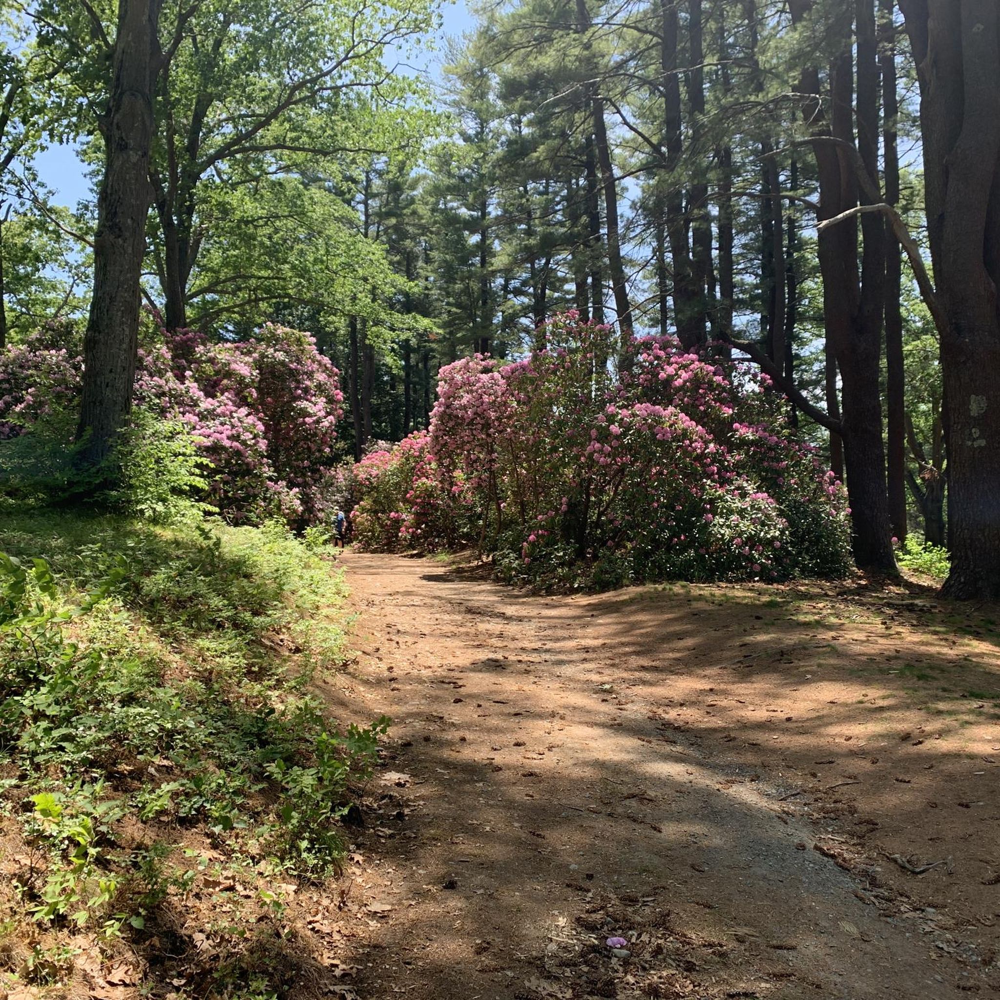
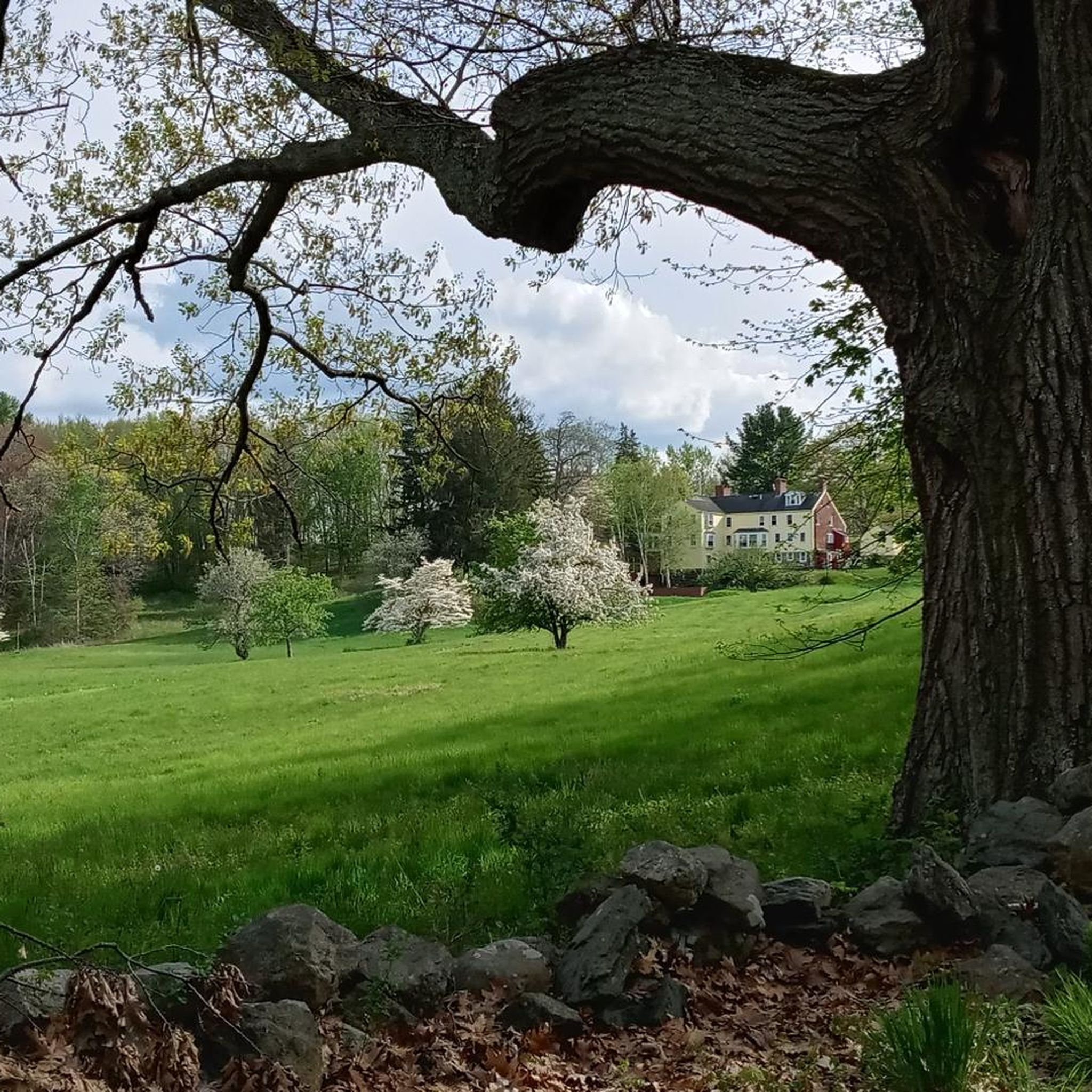
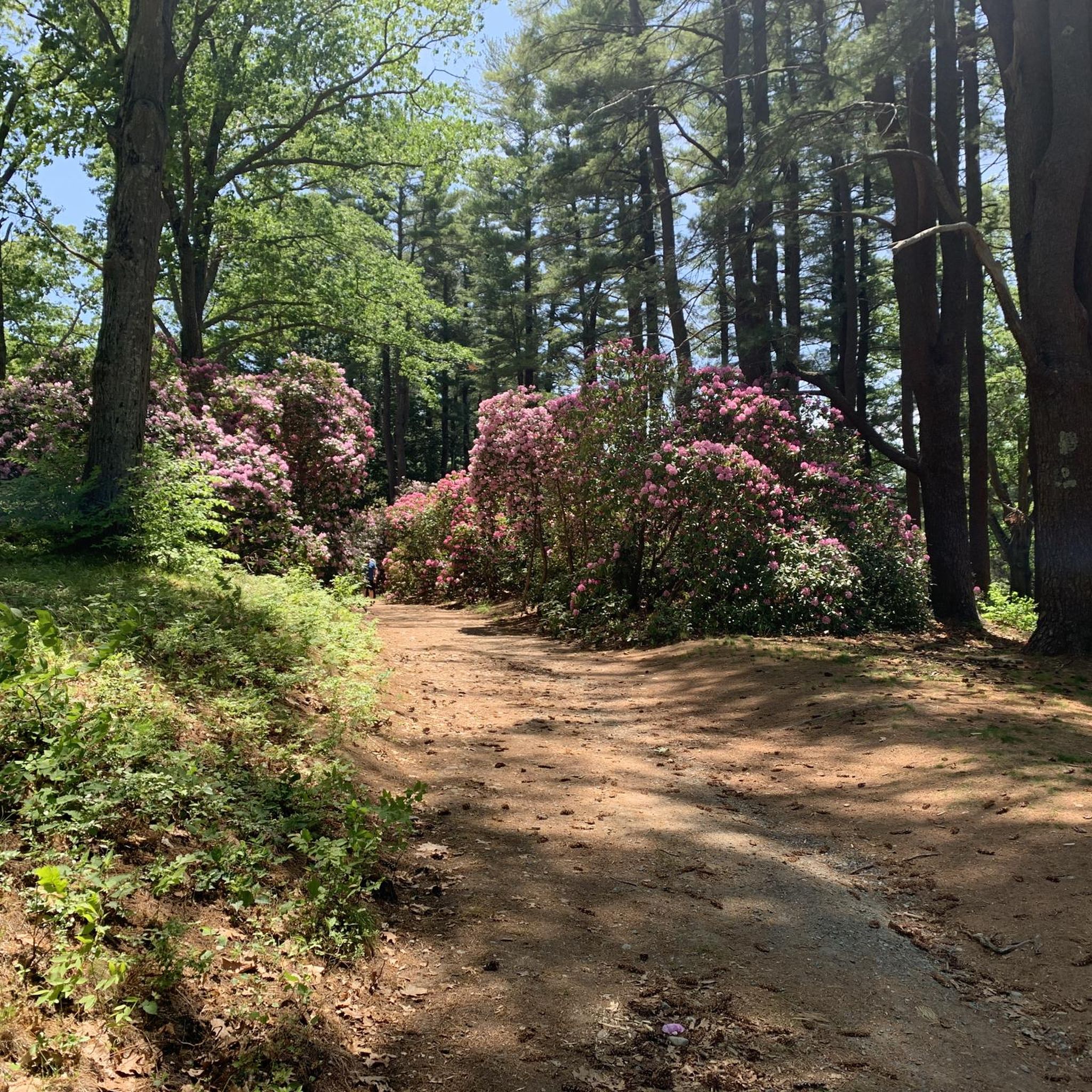
Maudslay State Park features 19th-century gardens, rolling meadows, towering pines, and one of the largest naturally occurring stands of mountain laurel in the state. It’s an ideal spot for walking, biking, or picnicking - the trails, however, within the park are mostly for hiking. The park also features educational programs during the summer months. It is open from sunrise to sunset, with daily year-round.
0
0

Hardly any vehicles in the huge parking lot: too foggy today.
0
0
Frequently Asked Questions
How many road cycling routes are available in Maudslay State Park?
Maudslay State Park offers a wide selection of road cycling routes, with over 130 options available for exploration. These routes cater to various skill levels, from easy to moderate.
What is the best time of year for road biking in Maudslay State Park?
The spring, summer, and fall months generally offer the most pleasant conditions for road biking in Maudslay State Park. The park's riverine paths and coastal stretches are particularly enjoyable when the weather is mild. While winter biking is possible, conditions can be variable, so checking local weather is always recommended.
What do other road cyclists enjoy most about the routes in Maudslay State Park?
The road cycling routes in Maudslay State Park are highly rated by the komoot community, with an average score of 4.2 stars from nearly 50 reviews. Cyclists often praise the varied terrain, which includes river views, coastal roads, and a network of bridges, making for diverse and engaging rides.
Are there road cycling routes suitable for beginners in Maudslay State Park?
Yes, Maudslay State Park has numerous routes perfect for beginners. The terrain is generally flat to gently rolling with minimal elevation changes. An excellent easy option is the Maudslay State Park – Chain Bridge and Deer Island loop from Maudslay State Park, which is 26.2 miles (42.2 km) long and features views of the Chain Bridge and Deer Island.
What is the typical elevation gain on road bike trails in Maudslay State Park?
Road cycling routes in Maudslay State Park are characterized by generally low elevation gains, making them accessible. For instance, the Upper Artichoke Reservoir – Plum Island Airport loop from Newburyport, an easy 29.5-mile route, has an elevation gain of approximately 135 meters.
Are there advanced road biking options in Maudslay State Park?
While the park is known for its accessible terrain, there are routes that offer a more challenging experience. For example, the Chain Bridge and Deer Island – Ocean Boulevard / Route 1A loop from Amesbury is a moderate 52.6-mile (84.7 km) trail that leads through coastal areas and over bridges, providing a longer ride with more varied conditions.
Are there loop trails for road biking in Maudslay State Park?
Yes, many of the road cycling routes in Maudslay State Park are designed as loops, offering convenient starting and ending points. Examples include the popular Maudslay State Park – Chain Bridge and Deer Island loop from Maudslay State Park and the Upper Artichoke Reservoir – Plum Island Airport loop from Newburyport.
Where can I find parking for road biking in Maudslay State Park?
Maudslay State Park offers designated parking areas for visitors. When planning your ride, it's advisable to check the specific starting point of your chosen route on komoot, as many routes begin from convenient parking locations within or near the park.
Are there family-friendly road bike trails in Maudslay State Park?
The generally flat to gently rolling terrain and paved surfaces of many routes make Maudslay State Park suitable for family road biking. Easy routes with minimal elevation are ideal for families looking to enjoy a ride together. Consider routes that stay within the park's quieter sections for a more relaxed experience.
What can I see along the road cycling routes in Maudslay State Park?
Along the road cycling routes, you can enjoy diverse scenery including riverine paths, coastal stretches, and views of various bridges. Notable points of interest include the Maudslay State Park itself, the tranquil Flowering Pond, and the historic Curzon Mill / Emery House Lane bridge.
Are there any interesting landmarks or points of interest to explore near the routes?
Yes, beyond the natural beauty, you can explore landmarks such as the Curzon Mill / Emery House Lane bridge. The routes often provide views of the Chain Bridge and Deer Island, offering picturesque sights as you cycle.
Can you recommend a moderate road cycling route with varied scenery?
For a moderate ride with varied scenery, consider the Chain Bridge and Deer Island – John Greenleaf Whittier Bridge loop from Amesbury. This 54.2-kilometer route offers a mix of river views and bridge crossings, providing a dynamic cycling experience.
What kind of terrain can I expect on road cycling routes in Maudslay State Park?
The road cycling routes in Maudslay State Park primarily feature paved surfaces suitable for road bikes. The terrain is generally flat to gently rolling, with minimal elevation changes, making it accessible for various skill levels. You'll encounter riverine paths, coastal stretches, and a network of bridges.
Most popular routes in Maudslay State Park
Most popular attractions in Maudslay State Park

Get inspired with the komoot mobile app


Explore more
Browse the best Road cycling routes in other regions.
