The best walks and hikes in Lost Lake Recreation Area
4.9
(5)
69
hikers
30
hikes
Hiking in Lost Lake Recreation Area is centered around a landscape of woodlands, ponds, and conservation lands in Middlesex County. The terrain consists of gently rolling hills and well-defined paths. Features like Lookout Rock provide modest elevation and viewpoints over the surrounding area. This network of trails is suitable for easy walks and family outings.
Best hiking trails in Lost Lake Recreation Area
- The most popular hiking route is Skinner Pond & Forest Trail, a 6.7 miles (10.7 km) trail that takes about 2 hours 50 minutes to complete. This route features varied forest terrain and pond views.
- Another top favourite among local hikers is Heronry, Ovenbird, and Chestnut Oak Loop Trail, an easy 3.5 miles (5.6 km) path. This trail winds through diverse woodlands with moderate elevation changes.
- Local hikers also love the Bear Hill and Millstone Hill Loop, a 3.4 miles (5.5 km) trail leading through gently rolling hills and wooded areas, often completed in about 1 hour 29 minutes.
- Hiking in Lost Lake Recreation Area is defined by woodland paths, pond-side trails, and low hills. The trail network provides multiple easy options suitable for hikers of all ability levels.
- The routes in Lost Lake Recreation Area are highly rated by the komoot community with an average score of 5.0 stars from over 5 reviews. More than 70 hikers have used komoot to explore Lost Lake Recreation Area's varied terrain.
Last updated: July 9, 2026
1
hikers
10.7km
02:51
100m
110m
The Skinner Pond & Forest Trail offers a tranquil journey through a quiet woodland setting, perfect for escaping the everyday. You'll wind through hilly terrain, encountering numerous wetlands, old stone walls, and striking granite outcrops. Keep an eye out for fascinating glacial erratics and the unique geological formations of drumlins, eskers, and kettle holes that shape the landscape.
This moderate hiking route covers 6.7 miles (10.7 km) with a manageable 340 feet (104 metres) of elevation gain, typically taking about 2 hours and 50 minutes. Parking is available at the trailhead within the Skinner Forest Conservation area in Groton, MA, and no permits are required. It's a great option for a peaceful outing, though some sections feature moderately difficult hills and rocky conditions.
The Skinner Forest is notable for its remote atmosphere and its connection to neighboring trail networks, including the Skitapet Conservation Area. This 128-acre conservation area was generously donated to the Groton Conservation Trust, preserving a rich natural legacy. It's an excellent choice for those seeking a blend of natural beauty and geological interest.
5.0
(1)
3
hikers
5.65km
01:31
70m
60m
Embark on an easy hike along the Heronry, Ovenbird, and Chestnut Oak Loop Trail, a pleasant 3.5-mile (5.6 km) route in the Rocky Hill Wildlife Sanctuary. You'll experience a gentle ascent of 238 feet (72 metres) over approximately 1 hour and 31 minutes. The trail guides you through diverse landscapes, from wetlands with a floating boardwalk to mature woodlands and dry upland forests, offering a varied and engaging outdoor experience.
Before you head out, remember that some sections of the trail, especially in wooded areas, might be muddy after rain. It's always a good idea to check local conditions to ensure a comfortable hike. Parking is usually available right at the trailhead, making it convenient to start your adventure whenever you're ready to explore.
This loop is notable for its distinct ecological zones, providing opportunities to spot wildlife like herons in the wetland areas and ovenbirds in the mature woodlands. As you hike, you'll also pass through forests dominated by impressive chestnut oaks, giving the trail its unique character and name. It's a great way to connect with nature and observe different habitats within a single, accessible route.

Sign up for free
5.54km
01:29
70m
70m
The Bear Hill and Millstone Hill Loop offers a delightful escape into nature, guiding you through serene forests and woodlands on a mix of doubletrack and singletrack paths. You'll experience gentle rolling terrain as you make your way to the summit of Bear Hill and the rewarding views from the Bear Hill Quarry and Viewpoint, making it a perfect easy hike for a quick refresh.
This 3.4-mile (5.5 km) hiking trail, with its modest 227 feet (69 metres) of elevation gain, is rated easy and typically takes around 1 hour and 29 minutes to complete. It's an excellent choice for beginners, families, or those looking for a dog-friendly outing in Middlesex County, Massachusetts. Parking is generally available at local trailheads, but checking specific access points and arriving early is always a good idea.
Many trails in the Bear Hill area are known for their family-friendly atmosphere and opportunities to observe local wildlife. The route provides a peaceful natural setting, offering a quiet alternative to more crowded paths and a chance to enjoy the varied landscapes of the region.
6.49km
01:40
30m
40m
The Wharton Plantation Trail Outer Loop offers an easy 4.0-mile (6.5 km) hike through a landscape rich in natural and historical features. You'll wander past fascinating glacial formations like eskers and kettle ponds, and discover old farm walls and a historical home site, all within a diverse woodland environment. With only 99 feet (30 metres) of elevation gain, this route is perfect for a leisurely 1 hour and 40 minute stroll, providing a rewarding experience without significant effort.
Planning your visit to the Wharton Plantation is straightforward, with various access points available within the extensive property. The trails are multi-use, accommodating both hikers and mountain bikers, so be prepared to share the path. Spring and early summer are ideal times to explore, especially if you want to catch the wildflower garden in bloom, adding an extra layer of beauty to your outing.
This trail is notable for its conservation history, as the land was donated by William P. Wharton and is managed by the New England Forestry Foundation. The diverse ecosystem, featuring unique geological formations and a mix of forest types, makes it a significant local natural asset. Plus, the interconnected trail system allows for longer adventures if you wish to explore beyond this specific loop.
1.04km
00:16
10m
0m
Embark on an easy hike along the Blackman Field And Woods Trail, a pleasant route spanning 0.6 miles (1.0 km) with a gentle elevation gain of 27 feet (8 metres). You can expect to complete this loop in about 16 minutes, making it ideal for a quick outdoor escape. The trail guides you through a diverse landscape, transitioning between open fields and serene woodlands, offering beautiful views of wetlands and rocky ledges. Keep an eye out for the unique
Get access to more routes and recommendations from other explorers.
Sign up for free
Already have an account?
Our route recommendations are based on thousands of hikes, rides, and runs completed by other people on komoot.
Start today with a free account
Your next adventure awaits.
Login or Signup


Tips from the Community

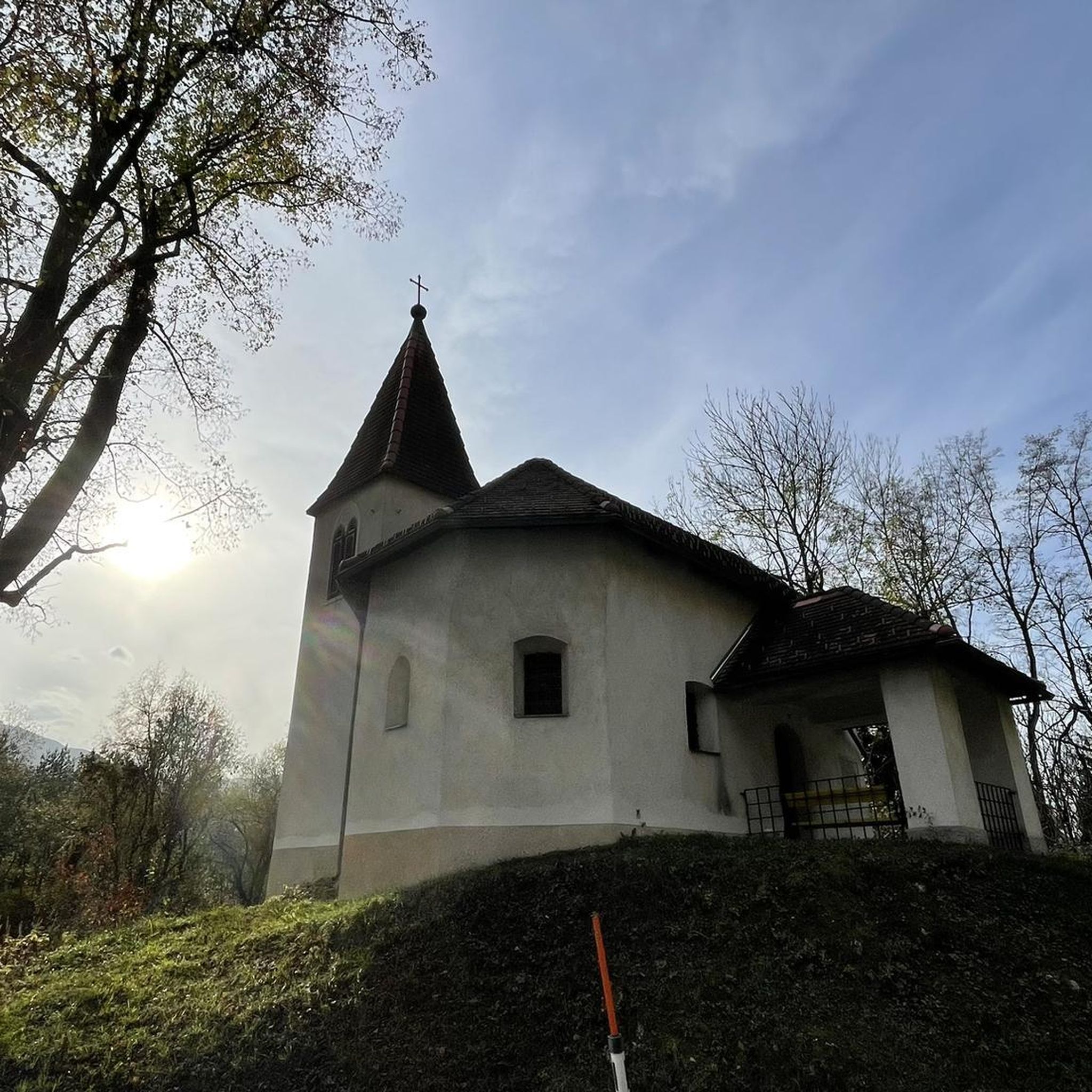
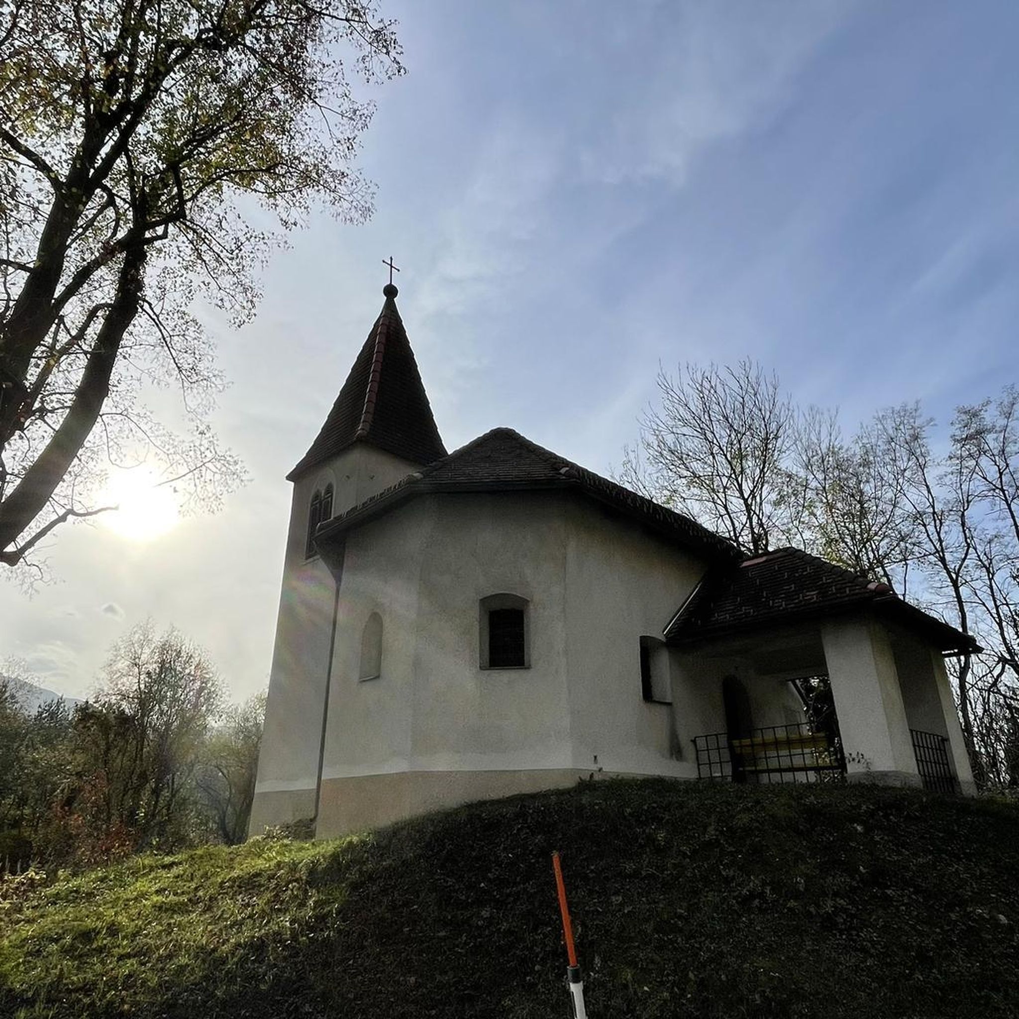
Steep and rocky class VI gravel roads and single track to get to the top.
1
0
Frequently Asked Questions
Are the trails in Lost Lake Recreation Area suitable for families with children?
Yes, this area is ideal for family outings. The terrain consists of gently rolling hills and the paths are well-defined, making for easy walking. All the main routes are rated as easy, such as the Burge's Pond loop from Abott Conservation Area, which is a pleasant walk through conservation land.
Are dogs allowed on the trails?
While specific regulations can vary, trails in conservation areas like this one are often dog-friendly, provided they are kept on a leash and waste is cleaned up. It's always best to check for local signage at the trailhead for the most current rules.
What are the views like in the Lost Lake Recreation Area?
The hikes primarily offer serene views of woodlands, ponds, and conservation lands. A key viewpoint is Lookout Rock, a modest hill that provides scenic vistas over the surrounding landscape. The View from Lookout Rock – Lookout Rock loop from Littleton is a great option to experience this.
How difficult are the hikes in this area?
The hikes are generally considered easy. The trail network features low hills and clear paths, making it accessible for hikers of all ability levels. There are no routes in the area rated as moderate or difficult.
Are there any circular or loop hikes available?
Yes, the main trails in the Lost Lake Recreation Area are loop hikes. This allows you to start and end at the same point without retracing your steps. A popular choice is the Lookout Rock loop from Shaker Village, which is a shorter loop of about 2.5 miles (4.1 km).
What is the best time of year to hike here?
Hiking is enjoyable from spring through fall. Spring offers budding trees and wildflowers, summer provides a lush green canopy for shaded walks, and autumn showcases beautiful foliage in the woodlands.
How many hiking trails are in the Lost Lake Recreation Area?
There is a small, interconnected network of trails. The guide highlights a handful of primary routes, all of which are easy and well-suited for casual walks through the area's woodlands and past its ponds.
What do other hikers think of the trails?
The routes in Lost Lake Recreation Area are highly rated by the komoot community. Hikers often praise the quiet woodlands and the well-defined, easy-to-follow paths that make for a relaxing outdoor experience.
Is there parking available at the trailheads?
Access points for conservation lands like this typically have small parking areas. For example, trailheads near Littleton or the Abott Conservation Area are common starting points. Arriving early is recommended, especially on weekends.
How long do the hikes typically take?
Most hikes in the area can be completed in under two hours. For instance, the loop around Burge's Pond takes about an hour, while the longer loop to Lookout Rock from Littleton is estimated to take just under two hours.
Most popular routes in Lost Lake Recreation Area

Get inspired with the komoot mobile app


Explore more
Browse the best Hikes in other regions.
