The best walks and hikes in Pisgah State Park
5.0
(4)
116
hikers
27
hikes
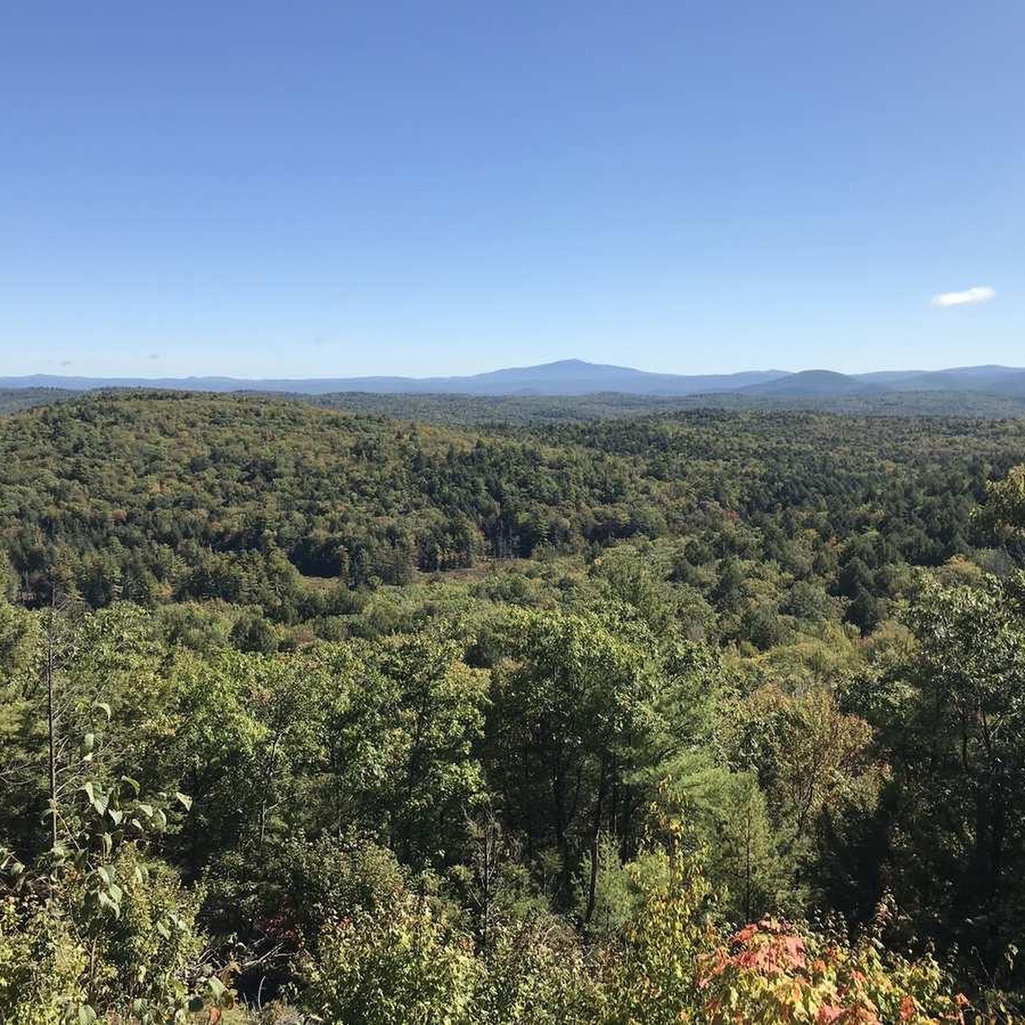
Hikes in Pisgah State Park explore New Hampshire's largest state park, a 13,300-acre area characterized by highland ridges and a large, unfragmented hemlock-hardwood-pine forest. The terrain includes numerous ponds, brooks, and wetlands situated between the ridges. The park's extensive trail network offers routes through varied woodland and around bodies of water like Pisgah Reservoir and Kilburn Pond.
Best hiking trails in Pisgah State Park
- The most popular hiking route is Pisgah Ridge and Reservoir loop — Pisgah State Park, a 8.0 mile (12.9 km) trail that takes about 3 hours 40 minutes to complete. This moderate hike features views of the Pisgah Reservoir.
- Another top favourite among local hiking enthusiasts is Kilburn Pond and John Summers Trail loop — Pisgah State Park, an easy 3.0 mile (4.8 km) path. The route follows a gentle trail around the perimeter of Kilburn Pond.
- Local hiking enthusiasts also love the Kilburn loop — Pisgah State Park, a 6.1 mile (9.8 km) trail leading through mixed forest, often completed in about 2 hours 40 minutes.
- Hiking in Pisgah State Park is defined by its extensive woodlands, multiple ponds, and rolling highland ridges. The trail system provides options for different ability levels, from easy pond-side walks to longer, more moderate forest hikes.
- The routes in Pisgah State Park are highly rated by the komoot community with an average score of 5.0 stars from a number of reviews. More than 90 hikers have used komoot to explore Pisgah State Park's varied terrain.
Last updated: October 10, 2026
9
hikers
12.9km
03:39
290m
290m
Moderate hike. Good fitness required. Easily-accessible paths. Suitable for all skill levels.
11
hikers
4.85km
01:18
50m
50m
Easy hike. Great for any fitness level. Easily-accessible paths. Suitable for all skill levels.

3
hikers
9.82km
02:42
160m
160m
Moderate hike. Good fitness required. Easily-accessible paths. Suitable for all skill levels.
1
hikers
8.36km
02:27
240m
240m
Moderate hike. Good fitness required. Easily-accessible paths. Suitable for all skill levels.
7.90km
02:14
170m
170m
Moderate hike. Good fitness required. Easily-accessible paths. Suitable for all skill levels.
Get access to more routes and recommendations from other explorers.
Already have an account?
Our route recommendations are based on thousands of hikes, rides, and runs completed by other people on komoot.
Start today with a free account
Your next adventure awaits.
Popular around Pisgah State Park


Tips from the Community

At the base of Pisgah ridge, you can look out over scenic Pisgah Reservoir, the western lobe of which is also known as Round Pond. The trail east of here crosses Pisgah Brook, which connects the chain of reservoirs along the east side of the ridge.
0
0
The pond is great for swimming and the edge is lined with large stones that are perfect for scrambling, picnicking, and enjoying the water.
0
0

Trailhead with parking that lets you choose whether to take the paths that bring you east to Pisgah State Forest or west to Daniels Mountain. In the high season it can get busy, so make sure to get there early to get a parking spot.
0
0
From the ridge you get fantastic views as you make your way up toward the summit, which marks the highest point in Pisgah State Park.
0
0
The trail here is wide and easy, perfect for a peaceful forest walk. Be sure to check out Hubbard Hill Vista on the way to Baker Pond.
0
0
The parking area at the end of Horseshoe Road is large and accessible to all vehicles. There is a memorial at the northwest side of the lot.
0
0
Kilburn Brook crosses the Kilburn loop trail near its southern point. The brook creates the string of ponds between Porter Hill and Pisgah Ridge. The mossy half-submerged stones and trees lining the brook make for idyllic forest scenery.
0
0
The trail is a wonderful scenic loop through the forest that passes a number of the ponds along Kilburn Brook. The trail is well-marked, peaceful, and is perfect for dog-walking.
0
0
Frequently Asked Questions
Are dogs allowed on the trails in Pisgah State Park?
Yes, Pisgah State Park is generally dog-friendly. Dogs are permitted on the trails, but they should be kept under control at all times to ensure the safety and enjoyment of all park visitors and to protect local wildlife. Always be prepared to clean up after your pet.
Are there any easy, family-friendly hikes in the park?
Absolutely. The park offers several easier trails perfect for families or beginners. A great option is the Old Chesterfield Road, Broad Brook Road, & Doolittle Trail loop. It's a relatively flat 4-mile (6.4 km) walk through the forest that's manageable for most skill levels.
What are the parking options at Pisgah State Park?
Pisgah State Park has six main trailheads, each with its own parking area. These are located on Old Chesterfield Road, Fullam Pond Road, Horseshoe Road, and Route 63 in Chesterfield, Hinsdale, and Winchester. Parking can be limited, especially on weekends, so arriving early is recommended.
Can I go hiking in Pisgah State Park during the winter?
Yes, winter hiking is a popular activity in the park. The trails offer a completely different experience when covered in snow. However, you must be properly equipped with gear like microspikes or snowshoes for traction, as well as warm, layered clothing. Always check weather conditions before you go.
Are there any trails with good scenic views?
Many trails in Pisgah State Park lead to rewarding views. For a moderate hike with scenic overlooks, consider the Davis Hill, Baker Pond, and Pisgah Ridge loop. This route takes you through varied terrain and offers beautiful vistas from the ridges.
How many hiking trails are available in Pisgah State Park?
There are over 20 documented hiking routes within Pisgah State Park, covering more than 55 miles of marked trails. The network includes 8 easy trails, 11 moderate ones, and one difficult trail, offering a wide variety for hikers of all abilities.
What do other hikers think of the trails in Pisgah State Park?
The trails in Pisgah State Park are very well-regarded by the komoot community, earning a perfect 5.0-star average rating. Hikers frequently praise the park's vast, unfragmented forests, the peaceful atmosphere around the ponds, and the well-maintained trail system.
Are there bears or other large wildlife in the park?
Yes, Pisgah State Park is a large wilderness area and home to various wildlife, including black bears. While encounters are not common, it's important to be bear-aware. Make noise while you hike, never feed wildlife, and know what to do if you see a bear. Storing food securely is crucial if you plan on backpacking.
Can I go mountain biking in Pisgah State Park?
Yes, many of the trails in Pisgah State Park are multi-use and open to mountain bikers. The park's wide, rolling paths and woodland trails provide excellent terrain for biking. Be sure to check trail signage for any specific restrictions and always yield to hikers.
Are there any circular walks that feature a pond?
The park has several beautiful loop trails around its ponds. For a longer walk through the forest that also features a pond, the Kilburn loop is a great choice. This 6.1-mile (9.8 km) moderate hike takes you through mixed woodland and near Kilburn Pond.
What kind of terrain should I expect on the trails?
The terrain is typical of southwestern New Hampshire, characterized by rolling highland ridges and forested valleys. Trails can be a mix of wide, gravel paths and narrower, rockier footpaths with plenty of roots. You'll hike through dense hemlock-hardwood-pine forests and pass by numerous ponds, brooks, and wetlands.
Most popular attractions in Pisgah State Park

Get inspired with the komoot mobile app


Explore more
Browse the best Hikes in other regions.
