The best road cycling routes in Laurel Ridge State Park
5.0
(1)
32
riders
12
rides
Road cycling in Laurel Ridge State Park offers challenging terrain across 13,625 acres in western Pennsylvania. The region is characterized by significant elevation changes, with routes often combining paved roads with extensive gravel and dirt sections. Cyclists encounter dense Appalachian mixed mesophytic forests, dramatic gorges, and the Laurel Mountain Ridge, providing a multi-surface adventure. The landscape features numerous climbs and descents, requiring good fitness for many routes.
Best road cycling routes in Laurel Ridge State Park
- The most popular road…
Last updated: July 2, 2026
6
riders
72.2km
04:10
980m
980m
Hard road ride. Very good fitness required. Mostly well-paved surfaces and easy to ride.
3
riders
61.9km
03:22
900m
900m
Moderate road ride. Good fitness required. Mostly well-paved surfaces and easy to ride.

Sign up for free
5
riders
88.0km
05:26
1,370m
1,370m
Hard road ride. Very good fitness required. Some segments of this route may be unpaved and difficult to ride.
5.0
(1)
6
riders
31.6km
01:40
180m
180m
Easy road ride. Great for any fitness level. Mostly well-paved surfaces and easy to ride.
6
riders
54.9km
03:59
490m
490m
Moderate road ride. Good fitness required. Some segments of this route may be unpaved and difficult to ride.
Get access to more routes and recommendations from other explorers.
Sign up for free
Already have an account?
Our route recommendations are based on thousands of hikes, rides, and runs completed by other people on komoot.
Start today with a free account
Your next adventure awaits.
Login or Signup
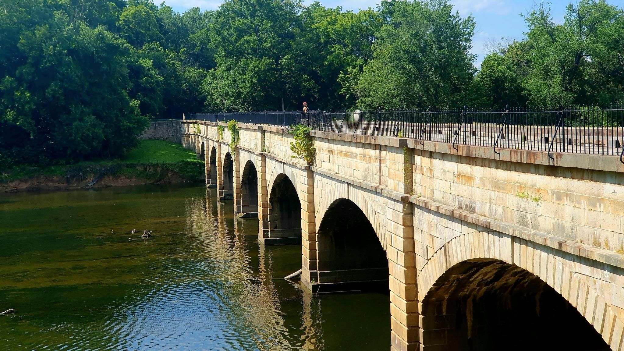
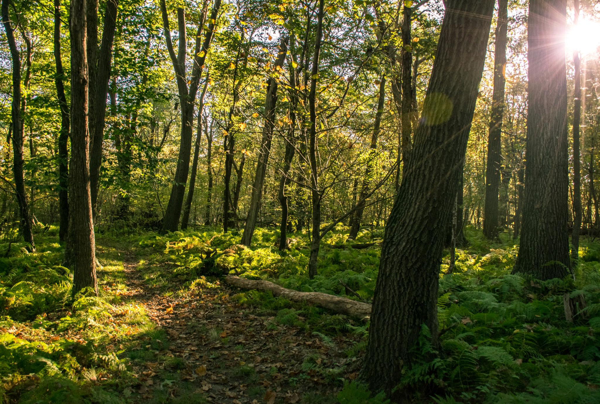
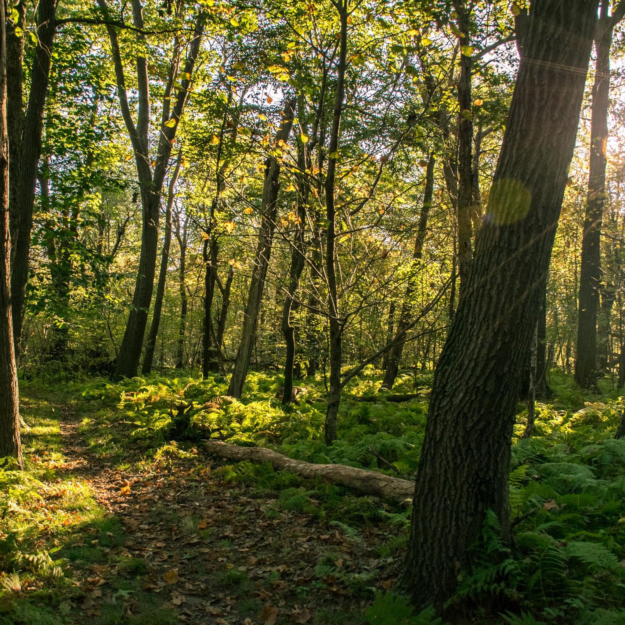
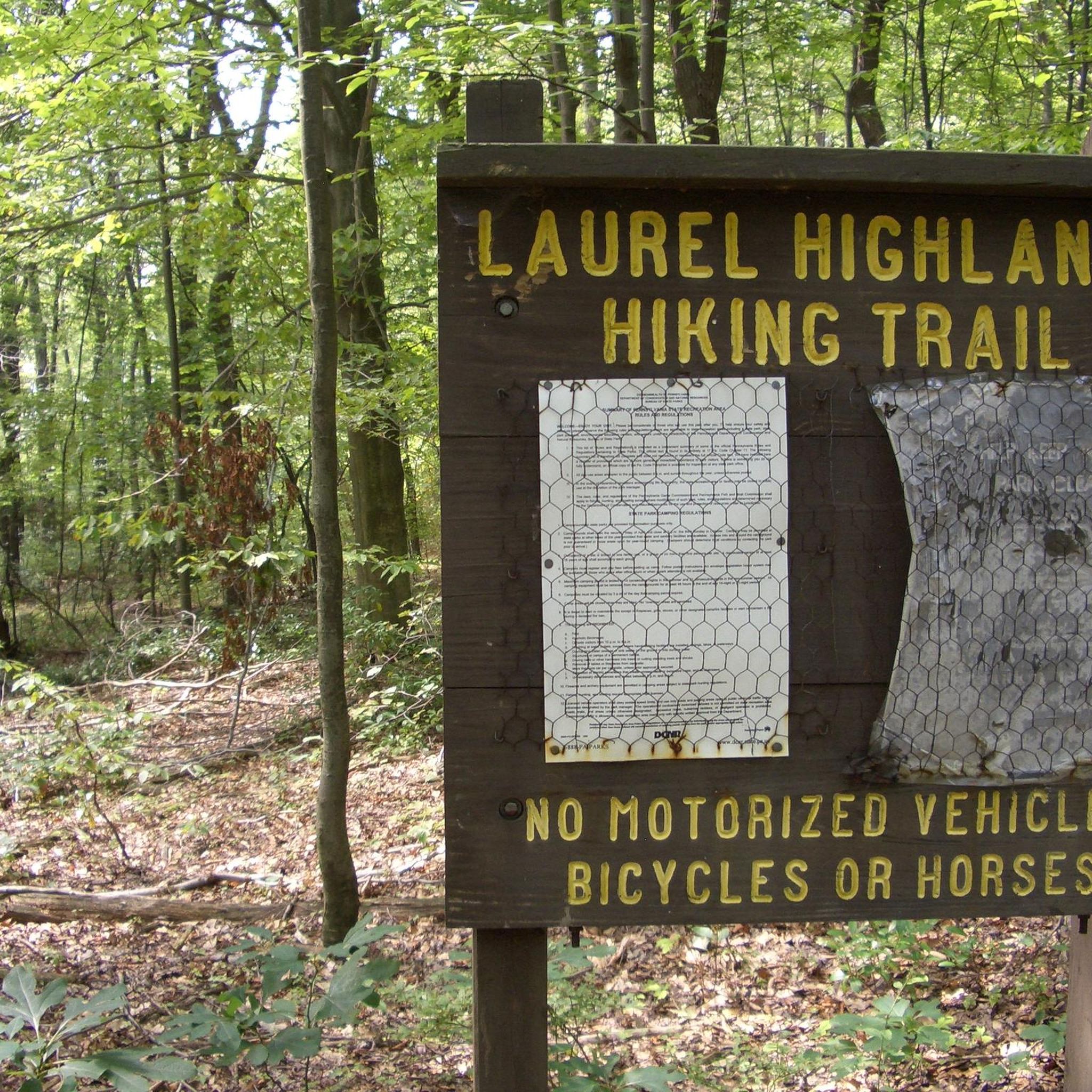


Tips from the Community


The Ghost Town Trail is a popular recreational path in Pennsylvania, transformed from an abandoned railroad into a scenic trail for walkers, runners, bikers, and nature enthusiasts. It stretches through the picturesque landscapes of Indiana County, offering stunning views of rolling hills, farmlands, and wooded areas.
0
0
The C & I Trail is a 17-mile extension of the Ghost Town Trail, offering additional opportunities for exploration. This off-road adventure takes you through scenic landscapes, providing a chance to connect with nature and experience the tranquility of the Pennsylvania countryside.
0
0

A lovely wooded area with a running stream, Powdermill Nature Reserve offers wonderful views in Westmoreland County.
0
0

Laurel Hill Lake is the focal point of Laurel Hill State Park, which is a wonderful place to spend a day out in nature. There are changing rooms with showers, a sand beach, boat rental facilities, paddle boards, canoes and kayaks available. Swimming is welcomed too.
0
0

Located in Cambria County, State Game Lands Number 79 is a forest between Vintondale and Twin Rocks. It is crossed by the Ghost Town Trail and Plank Road, being an ideal cruising area due to its pleasant ways.
0
0

The Eliza Furnace is an incredibly well-preserved National Register site showcasing Pennsylvania's rich industrial history. Built in 1846, it is one of the few iron furnaces in the United States still with its original heat exchanger piping intact. The furnace is located at the midpoint of the Ghost Town Trail, a 36-mile rail trail that winds through the beautiful Blacklick Creek Valley. Eliza Station is close by, with restrooms, picnic areas, and water fountains.
0
0
Frequently Asked Questions
Where is Laurel Ridge State Park located?
Laurel Ridge State Park spans 13,625 acres across Cambria, Fayette, Somerset, and Westmoreland counties in western Pennsylvania. It stretches along the Laurel Mountain, offering a semi-wilderness corridor.
What kind of terrain can I expect when road cycling in Laurel Ridge State Park?
Road cycling in Laurel Ridge State Park is characterized by significant elevation changes, with climbs that can be steep and demanding. Routes often combine paved roads with extensive gravel and dirt sections, providing a multi-surface adventure. You can expect 'up and down (and up again)' terrain, requiring good fitness.
How many road cycling routes are available in Laurel Ridge State Park?
There are over 10 road cycling routes available in Laurel Ridge State Park, offering a range of difficulties from easy to difficult. The komoot community has explored 12 distinct routes in the area.
Are there road cycling routes suitable for beginners in Laurel Ridge State Park?
While many routes feature challenging terrain, there is at least one easy road cycling route available in Laurel Ridge State Park. These routes are generally shorter and have less demanding elevation changes, making them suitable for those new to the area or looking for a more relaxed ride.
What are some challenging road cycling routes for experienced riders?
Experienced riders seeking a challenge will find several difficult routes. For instance, the Haws Pike – Buttermilk Falls loop from Game Lands Parking is a difficult 66.6-mile path with significant elevation gains. Another demanding option is the Quemahoning Reservoir loop from LHHT Route 30 Parking Area, which is 44.9 miles and features substantial climbs.
Are there any loop road cycling routes in Laurel Ridge State Park?
Yes, many of the road cycling routes in Laurel Ridge State Park are designed as loops, allowing you to start and end at the same point. Examples include the Powdermill Nature Reserve from Kissel Springs Road loop and the Haws Pike loop from Johnstown Upper Station.
When is the best time of year to go road cycling in Laurel Ridge State Park?
The park offers seasonal beauty throughout the year. Spring (early April for wildflowers, late April for green foliage) and summer (June for mountain laurel, late June/early July for rhododendron) are excellent for vibrant flora. Mid-October brings spectacular fall foliage, making it a popular time for scenic rides. Summer road biking is also popular, with routes often incorporating quiet back roads and forest roads.
What natural features or viewpoints can I see along the road cycling routes?
The park is rich in natural beauty. You can expect to see dense Appalachian mixed mesophytic forests, dramatic gorges like the Conemaugh Gorge, and significant geological features such as sandstone outcrops. Mountain streams and cool rock formations are also integral to the scenery, especially along routes traversing the Laurel Mountain Ridge.
Is there parking available at the trailheads for road cyclists?
Yes, many routes in Laurel Ridge State Park have designated parking areas. For example, the Quemahoning Reservoir loop starts from the LHHT Route 30 Parking Area, and the Haws Pike – Buttermilk Falls loop begins from Game Lands Parking.
What do other road cyclists enjoy the most about road cycling in Laurel Ridge State Park?
The area is highly rated by the komoot community, with an average score of 5.0 stars. Cyclists often praise the challenging terrain, the mix of paved and gravel surfaces, and the immersive experience of riding through dense Appalachian forests and along the Laurel Mountain Ridge. The significant elevation changes are frequently highlighted as a key feature.
Are there any shorter, moderate routes for a quicker ride?
Yes, if you're looking for a moderate ride that's not as long as the more difficult options, the Gravel Hill loop from Peyton Hill is a good choice. It covers approximately 17.6 miles (28.3 km) and is rated as moderate, offering a rewarding experience without the extensive duration of longer routes.
What kind of wildlife might I encounter while cycling?
The varied habitats of Laurel Ridge State Park attract a range of wildlife. You might spot year-round forest residents such as black-capped chickadees, tufted titmice, pileated woodpeckers, ruffed grouse, turkeys, and great horned owls. Migratory birds, including warblers and hawks, also pass through during spring and fall.
Most popular routes in Laurel Ridge State Park

Get inspired with the komoot mobile app


Explore more
Browse the best Road cycling routes in other regions.
