The best road cycling routes in Pullman National Monument
4.7
(3)
178
riders
10
rides
Road cycling routes in Pullman National Monument are primarily situated within a historic urban landscape, offering a blend of cultural heritage and accessible outdoor recreation. The area features mostly paved surfaces, gridded streets, and tree-lined avenues, providing smooth riding conditions. While the monument itself is an urban park, it connects to a network of diverse trails that extend into forest preserves and offer waterfront views, such as those around Wolf Lake and Lake Michigan. The terrain is generally flat to…
Last updated: July 12, 2026
4.3
(3)
42
riders
22.0km
00:58
50m
50m
Easy road ride. Great for any fitness level. Mostly well-paved surfaces and easy to ride.
17
riders
50.9km
02:08
120m
120m
Moderate road ride. Good fitness required. Some segments of this route may be unpaved and difficult to ride.

Sign up for free
11
riders
54.1km
02:13
80m
80m
Moderate road ride. Good fitness required. Mostly well-paved surfaces and easy to ride.
5.0
(1)
10
riders
Moderate road ride. Great for any fitness level. Some segments of this route may be unpaved and difficult to ride.
4.0
(1)
3
riders
94.7km
03:56
100m
110m
This moderate 58.9-mile road cycling route offers scenic views of Lake Michigan and the Chicago skyline, with minimal elevation gain.
Get access to more routes and recommendations from other explorers.
Sign up for free
Already have an account?
Our route recommendations are based on thousands of hikes, rides, and runs completed by other people on komoot.
Start today with a free account
Your next adventure awaits.
Login or Signup
Popular around Pullman National Monument
Tips from the Community


Nice murals showcasing Mr Taylor’s career as a champion cyclist in the boardwalk era and the first black cyclist allowed to compete in American events.
0
0

The Cal-Sag Trail, or Calumet-Sag Trail, is a paved multi-use path spanning 16.2 miles. It connects the John Husar I&M Canal Trail in Lemont to the Major Taylor Trail in Riverdale. Users hug the Cal-Sag Channel, getting nice waterway views and shade from the surrounding forests. Future plans aim to extend the trail to 26 m
1
0

Stretching from Dan Ryan Woods south to Whistler Woods, the Major Taylor Trail offers a diverse route with paved, off-street, and on-street segments managed by the Chicago Park District. Named after Marshall "Major" Taylor, an African-American bicycle racer and civil rights advocate, the trail pays homage to Taylor's exceptional career.
0
0

Some of these routes take you on roads that are absolutely not safe for cycling. Do your own research about the routes ahead of time.
0
0

This multi-use trail runs along the Cal-Sag Channel, which was built to reverse the flow of the Little Calumet River and direct sewage away from Lake Michigan.
0
0

Margaret T. Burroughs Beach and Park sits between the communities of Prairie Shores and Lake Meadows. The beach has privileged views of the Chicago skyline in the background, with many facilities of an urban beach park, including public toilets, public water fountains, public WiFi, an ADA-accessible playground, and a “green roof” picnic area. The name of the beach is in honor of Margaret Burroughs, an accomplished artist, poet, teacher, and civic leader.
1
0
Discover the Cal-Sag Channel, a 16-mile-long watercourse in southern Cook County, created between 1911 and 1922. Initially designed for drainage, it ingeniously reversed the flow of the Little Calumet River, redirecting sewage away from Lake Michigan. This dual-purpose canal now supports shipping activities and offers a distinctive environment for water enthusiasts and history buffs alike.
0
0
Frequently Asked Questions
How many road cycling routes are available in Pullman National Monument?
There are 11 road cycling routes available in Pullman National Monument, offering a variety of experiences for cyclists. These routes are highly rated by the komoot community.
What is the terrain like for road cycling in Pullman National Monument?
The terrain for road cycling in Pullman National Monument is generally flat to gently rolling, with minimal elevation changes. Routes primarily feature paved surfaces, gridded streets, and tree-lined avenues, providing smooth riding conditions suitable for various fitness levels.
What are the difficulty levels of road cycling routes in the area?
The road cycling routes in Pullman National Monument cater to various skill levels. There are 6 easy routes, perfect for a relaxed ride, and 5 moderate routes for those seeking a bit more challenge. There are no routes classified as difficult.
What kind of landmarks or historical sites can I see while cycling in Pullman National Monument?
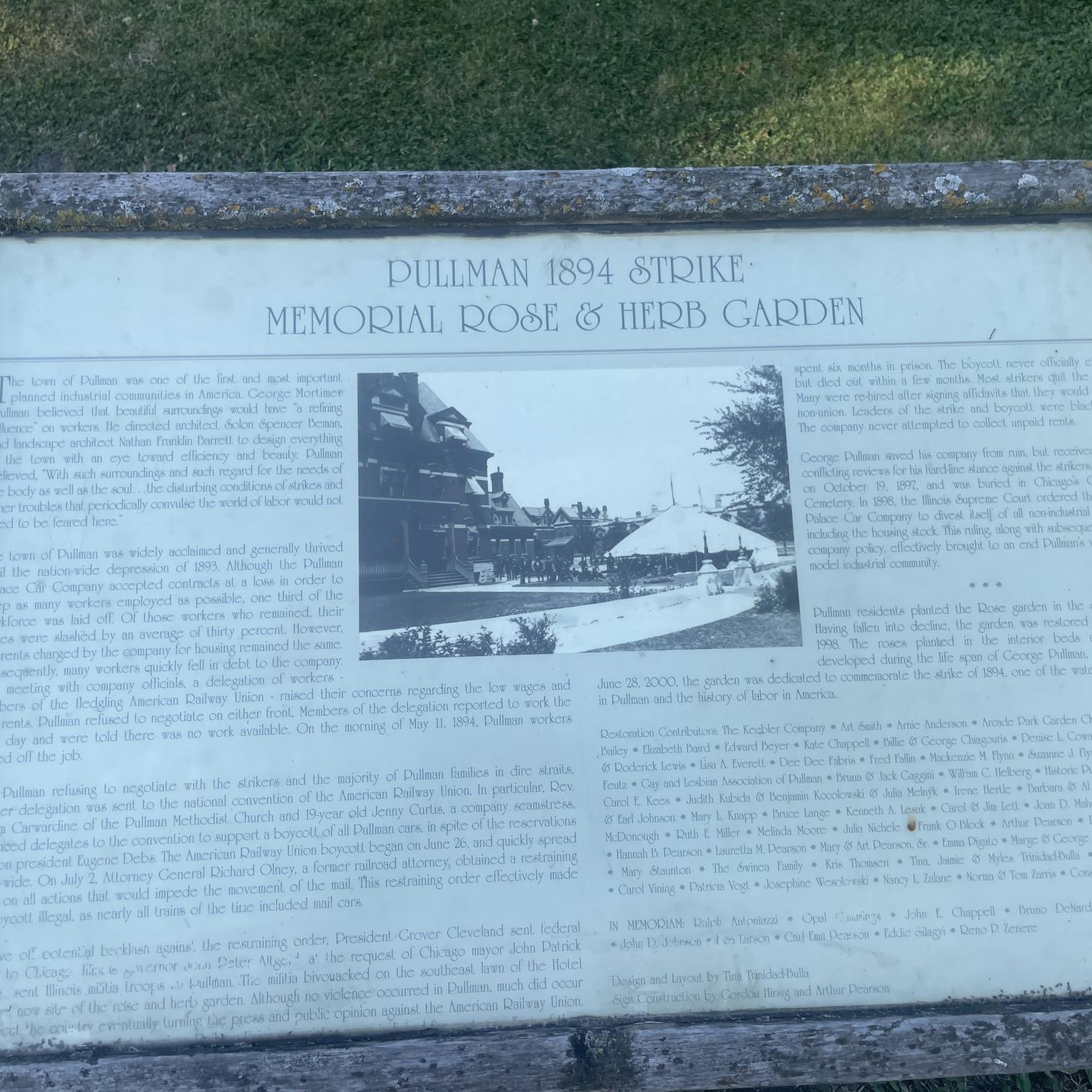
While cycling, you can explore the historic urban landscape of Pullman, the nation's first planned industrial town. You'll ride past iconic buildings such as the Administration Clock Tower Building, the historic Hotel Florence, and the Greenstone Church, along with numerous original brick row houses. The monument's visitor center, housed in the renovated Administration Clock Tower Building, offers exhibits about Pullman's pivotal role in American history.
Are there any scenic viewpoints or natural features along the routes?
Yes, many routes offer scenic views and access to natural features. For instance, the Calumet Beach – Wolf Lake Boardwalk loop from Windsor Park provides direct engagement with Wolf Lake, offering unique views. The Chicago Lakefront Trail, accessible via routes like the Chicago Lakefront Trail – Burnham Wildlife Corridor loop from 91st Street (Chesterfield), offers expansive views of Lake Michigan. Additionally, connected trail systems like the Major Taylor and Thorn Creek Trails lead through various forest preserves, providing a change of scenery from the urban environment.
What do other cyclists say about road cycling in Pullman National Monument?
The road cycling routes in Pullman National Monument are highly rated by the komoot community, with an average score of 4.75 stars from over 4 reviews. More than 285 road cyclists have used komoot to explore the area, often praising the unique blend of historical streetscapes and access to diverse, paved trails.
Are there family-friendly road cycling routes in Pullman National Monument?
Yes, the area offers several family-friendly options due to its generally flat terrain and paved surfaces. Routes like the 63rd St. Beach Dunes – Hyde Park loop from 91st Street (Chesterfield) are classified as easy, making them suitable for families looking for a relaxed ride.
Is there parking available for cyclists at Pullman National Monument?
While specific dedicated cycling parking isn't detailed, the Pullman community has undergone transportation investments, and as an urban national monument, parking is generally available within the surrounding neighborhood for visitors. It's advisable to check local signage for specific parking regulations.
Can I reach Pullman National Monument by public transport with my bike?
Pullman National Monument is integrated into the Chicago metropolitan area's public transport network. Many CTA (Chicago Transit Authority) buses and Metra Electric Line trains allow bikes, providing options to reach the monument and access the cycling routes. It's recommended to check the respective public transport provider's policies for bike carriage before your trip.
Are there any loop road cycling routes in the area?
Yes, there are several excellent loop routes for road cycling. Examples include the Chicago Lakefront Trail – Burnham Wildlife Corridor loop from 91st Street (Chesterfield), the 63rd St. Beach Dunes – Hyde Park loop from 91st Street (Chesterfield), and the Calumet Beach – Maynard Lake loop from 87th Street, all offering diverse scenery and experiences.
What is the best time of year for road biking in Pullman National Monument?
The best time for road biking in Pullman National Monument is typically during the spring, summer, and fall months when the weather is mild and pleasant. These seasons offer comfortable temperatures for riding and allow for full enjoyment of the outdoor environment and historical sites. Winter cycling is possible but requires appropriate gear for colder conditions.

Get inspired with the komoot mobile app


Explore more
Browse the best Road cycling routes in other regions.
