The best road cycling routes in Chapman State Park
4.0
(1)
54
riders
6
rides
Road cycling routes in Chapman State Park offer varied terrain for cyclists. The region features a mix of landscapes, including areas that can present both paved and mixed-surface roads. Cyclists can expect routes with diverse elevation profiles, from gentle sections to more challenging climbs. The area provides opportunities for exploration on two wheels across different environments.
Best road cycling routes in Chapman State Park
- The most popular road cycling route is Smallwood State Park – Smallwood State Park loop from…
Last updated: July 13, 2026
12
riders
79.5km
03:19
420m
420m
Moderate road ride. Good fitness required. Mostly well-paved surfaces and easy to ride.
5
riders
11.5km
00:35
40m
40m
Easy road ride. Great for any fitness level. Mostly well-paved surfaces and easy to ride.

Sign up for free
9
riders
18.6km
00:57
60m
60m
Easy road ride. Great for any fitness level. Mostly well-paved surfaces and easy to ride.
2
riders
55.2km
02:30
330m
330m
Moderate road ride. Good fitness required. Some segments of this route may be unpaved and difficult to ride.
4.0
(1)
5
riders
Easy road ride. Great for any fitness level. Mostly well-paved surfaces and easy to ride.
Our route recommendations are based on thousands of hikes, rides, and runs completed by other people on komoot.
Start today with a free account
Your next adventure awaits.
Login or Signup
Popular around Chapman State Park
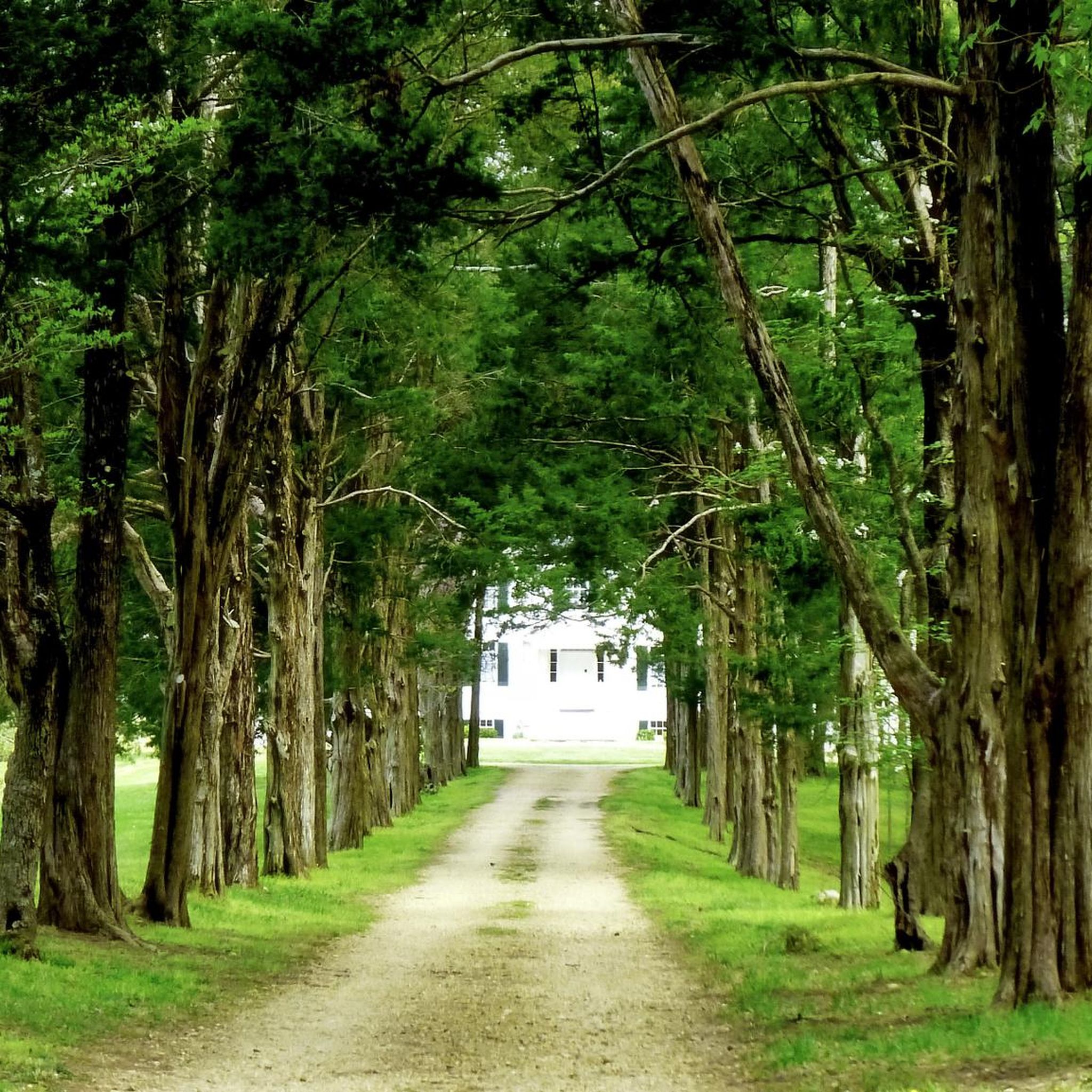


Tips from the Community

This recreation area is managed by BLM and is part of the Potomac Heritage Trail. It is a diverse area with shorelines along the east side of the Potomac River, 548 acres of forest, and a historical walk. The main trails that loop through the park are the Chiles Homesite Trail and the Cal Posey Trail, which connect the North and South trailheads for the area. This is a great area for a day hike and also adds some nice off-road hiking to the section of the Potomac Heritage Trail that it runs along.
0
0
Chapman State Park features a small network of trails with a nice mix of woodlands, historic features, and overlooks. The Mount Aventine Mansion is a main attraction here and has guided tours seasonally. The trail that features the mansion also connects to the Potomac River Trail which has some great overlooks of the river and old-growth forests.
0
0

Smallwood State Park is a 628 acre park on the Potomac River. The park has a marina, picnic area, restrooms, and a camping area. The park is also home to Smallwood Retreat. The house used to be the home of Major General William Smallwood, a Continental Army officer and Governor of Maryland. The house has been preserved and is open to visitors.
0
0

This is a very pleasant wooded area for cycling, especially during the summer in the shade of the trees.
0
0

This is a paved, wide trail that leads 13 miles (21 km) through Charles County. On the way, you'll find pavillions and benches to stop for a snack and toilet facilities. There are wildlife viewing areas too.
0
0
Myrtle Grove is made up of forests of oak, maple, beech, sycamore, poplar and other tree species. Its wetlands are home to diverse bird and animal species. Listen out for the barred owls call here. It sounds like: 'who cooks for you, who cooks for you all!' There's a lake, pond and two reservoirs to explore too. Be aware that hunting takes place at the park.
0
0
Mattawoman area is a real gem. The Mattawoman Creek winds through long reeds and marshes, surrounded by tidal forest. In spring and summer, forest songbirds tweet from the trees. Trails lead through the park and to vantage points where you can watch migratory birds come and go.
0
0
This is a very pleasant wooded area for cycling, especially during the summer in the shade of the trees.
0
0
Frequently Asked Questions
How many road cycling routes are available in Chapman State Park?
There are 10 road cycling routes available in Chapman State Park on komoot, offering a range of experiences from easy to moderate difficulty.
What kind of terrain can I expect on road cycling routes in Chapman State Park?
Road cycling in Chapman State Park features diverse terrain. While many roads are paved, you might encounter routes with mixed surfaces, including dirt, gravel, and some unpaved sections, especially around areas like Chapman Lake. The region's routes also present varying elevation changes, from gentle sections to more challenging climbs, particularly within the Allegheny National Forest foothills.
Are there any family-friendly road cycling routes in Chapman State Park?
Yes, Chapman State Park offers several easier road cycling options suitable for families. For instance, the Myrtle Grove – Indian Head Rail Trail loop from Indian Head is an easy 11.1-mile route with a modest elevation gain, often completed in under an hour. Another easy option is the Smallwood State Park – Stretchmark Hill loop from Smallwood State Park, which covers 16.8 miles.
What are the best times of year for road cycling in Chapman State Park?
The spring, summer, and especially autumn are ideal for road cycling in Chapman State Park. Autumn is particularly recommended for its vibrant fall foliage, which creates exceptionally scenic rides. While the park transforms into a winter wonderland, offering other activities, road cycling conditions may be challenging due to snow and ice.
Are there any scenic viewpoints or landmarks along the road cycling routes?
Yes, the park and surrounding Allegheny National Forest offer picturesque vistas. Chapman Lake itself is a central feature, and the restored wooden suspension bridge across the mouth of the West Branch Tionesta Creek provides stunning views, especially during fall. The diverse forests, including ancient trees, also contribute to a beautiful natural setting for your ride.
What do other road cyclists enjoy most about road cycling in Chapman State Park?
The road cycling routes in Chapman State Park are highly rated by the komoot community, with an average score of 5.0 stars. Reviewers often praise the diverse road conditions, the varying elevation changes that cater to different ability levels, and the beautiful natural surroundings of the park and adjacent Allegheny National Forest.
Are there any loop trails for road cycling in Chapman State Park?
Yes, many of the road cycling routes in Chapman State Park are designed as loops. Examples include the Smallwood State Park – Smallwood State Park loop from Potomac Heights, a 49.4-mile moderate route, and the Smallwood State Park loop from Henry E. Lackey High School, which is 46.9 miles long.
What is the difficulty level of road cycling in Chapman State Park?
Road cycling in Chapman State Park offers a range of difficulty levels. You'll find easy routes with minimal elevation gain, such as the Myrtle Grove – Indian Head Rail Trail loop from Indian Head, as well as moderate routes like the Belmont Bay – View over Belmont Bay loop from Wiley, which includes more significant ascents. There are no routes currently classified as difficult on komoot, making it accessible for a broad range of cyclists.
Are dogs allowed on road cycling routes in Chapman State Park?
While Chapman State Park is generally dog-friendly for activities like hiking, specific regulations for dogs on road cycling routes can vary. It's always best to check the official park guidelines or contact the park directly to confirm rules regarding pets on paved and unpaved roads accessible to cyclists.
Where can I find parking for road cycling in Chapman State Park?
Chapman State Park provides amenities such as well-maintained picnic areas and pavilions, which typically include parking facilities. All roads within the 862-acre park and adjacent state game lands are accessible for cycling, suggesting various parking options are available at designated entry points or visitor centers. For specific parking locations, it's advisable to consult the park's official website.
Are there any permits required for road cycling in Chapman State Park?
Generally, road cycling on public roads within Chapman State Park and the Allegheny National Forest does not require special permits. However, it's always a good practice to check the official Pennsylvania DCNR website for any specific regulations or updates regarding permits for certain areas or activities within the state park system. You can find more information on the official Chapman State Park biking page.
What kind of wildlife might I see while road cycling in Chapman State Park?
Chapman State Park and the surrounding Allegheny National Forest are rich in biodiversity. The park's forest interior serves as a sanctuary for various bird species and other wildlife. Cyclists might spot deer, various bird species, and other forest creatures, especially during quieter times of day. The diverse forest types, including oak-hickory and bottomland woods, provide habitats for a wide array of animals.

Get inspired with the komoot mobile app


Explore more
Browse the best Road cycling routes in other regions.
