The best running trails in Gunpowder Falls State Park Hereford Area
4.0
(2)
325
runners
28
runs
Jogging in Gunpowder Falls State Park Hereford Area offers routes through a 3,620-acre state-designated wildlands area. The region is characterized by the Big Gunpowder Falls river valley, featuring dense forests, steep, rocky slopes, and small ravines. Runners can explore paths winding through woodlands of eastern hemlock and chestnut oak, often following the scenic river and its tributaries. The area provides a variety of terrain, from accessible paths to routes with significant elevation gain, making it suitable for different fitness levels.
…Last updated: July 7, 2026
8
runners
7.37km
00:56
140m
140m
Moderate run. Good fitness required. Mostly paved surfaces. Suitable for all skill levels.
1
runners
4.29km
00:33
80m
80m
Easy run. Great for any fitness level. Mostly paved surfaces. Suitable for all skill levels.

Sign up for free
1
runners
4.76km
00:36
70m
70m
Easy run. Great for any fitness level. Mostly paved surfaces. Suitable for all skill levels.
1
runners
6.40km
00:48
100m
100m
Moderate run. Good fitness required. Mostly paved surfaces. Suitable for all skill levels.
7
runners
5.51km
00:42
110m
110m
Moderate run. Good fitness required. Mostly paved surfaces. Suitable for all skill levels.
Get access to more routes and recommendations from other explorers.
Sign up for free
Already have an account?
Our route recommendations are based on thousands of hikes, rides, and runs completed by other people on komoot.
Start today with a free account
Your next adventure awaits.
Login or Signup
Tips from the Community

This is the start of the Gunpowder South Trail, which follows the bank of the river for many miles. The trail is rocky in places but has beautiful views of Great Falls. If you decide to head up the dam the views are well worth it. There is a long staircase that leads up to the top of the dam.
0
0

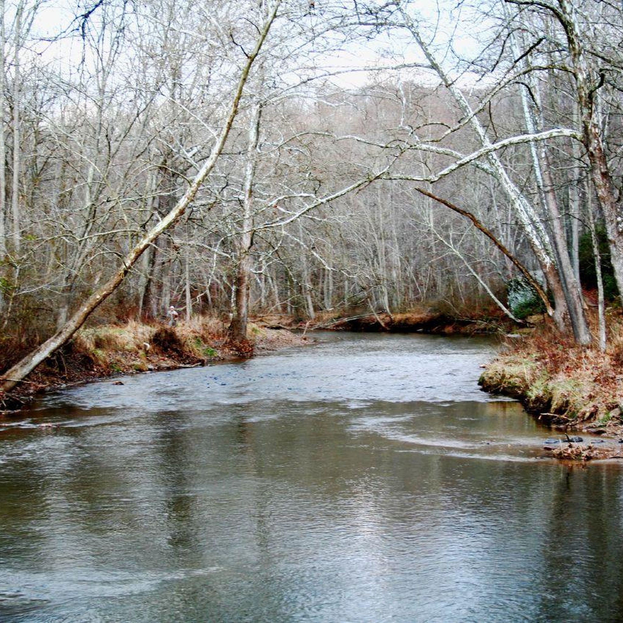
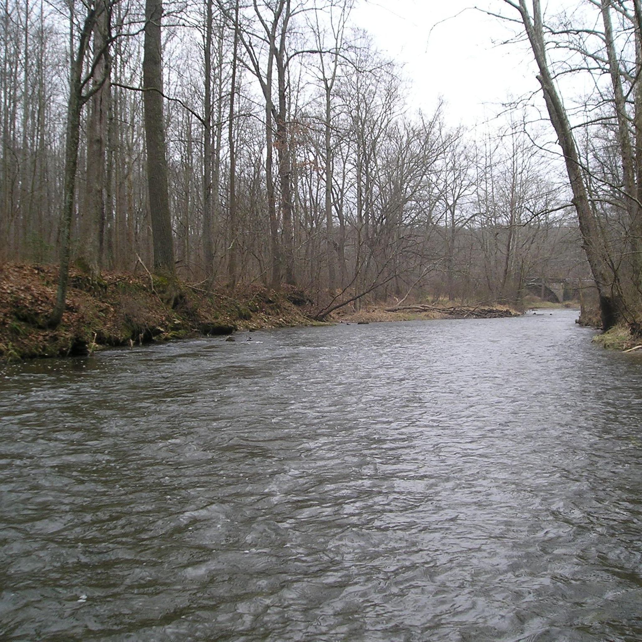
Gunpowder Falls flows through big parts of Gunpowder Falls State Park and therefore is the namesake of the area. In the Hereford Area, activities like canoeing, kayaking, and tubing are very popular.
0
0
Highland Trail is located in the Hereford Area of Gunpowder Falls State Park. It serves as an inland connection between the two parts of Gunpowder South Trail along the river of the same name and makes it a loop.
0
0
The Gunpowder South Trails winds its way along the southern side of Gunpowder Falls for many miles. There is a small waterfall at the north end of this segment.
0
0
The naming system around this river is quite curious. Gunpowder Falls (Big Gunpowder Falls) is, in fact, a river which merges with its sister river Little Gunpowder Falls to form Gunpowder River near Chesapeake Bay. Gunpowder River is not a river but rather a tidal inlet, meaning it flows backwards when the tide rises.
0
0
Mingo Forks Trail, in the Gunpowder Falls State Park Hereford Area, is a hilly trail through the forest. The trail is mostly singletrack and includes multiple creek crossings.
0
0
Prettyboy Dam is damming up 19 billion gallons at Prettyboy Reservoir. The reservoir provides more than 60% of Baltimore's drinking water and is owned by the city of Baltimore, even though it's in the county.
0
0
Prettyboy Dam is damming up 19 billion gallons at Prettyboy Reservoir. The reservoir provides more than 60% of Baltimore's drinking water and is owned by the city of Baltimore even though it's in the county.
0
0
Frequently Asked Questions
What kind of terrain can I expect on the running routes in Gunpowder Falls State Park Hereford Area?
The Hereford Area offers a diverse range of terrain. You'll find paths winding through dense woodlands, along the scenic Big Gunpowder Falls river valley, and over steep, rocky slopes and small ravines. Some routes are relatively flat and accessible, while others feature significant elevation gain, providing a good challenge for runners.
Are there any easy running routes suitable for beginners or a relaxed jog?
Yes, the park has several easy routes. For instance, the Gunpowder South and Highland Trail Loop is an easy 2.7-mile path that winds through diverse woodlands alongside the river. Another accessible option is the Gunpowder South Trail, which is 3 miles long and also rated easy.
What natural features or landmarks can I see while jogging in the Hereford Area?
Runners can enjoy diverse woodlands, the scenic Big Gunpowder Falls river, and unique geological formations known as "Pot Rocks" along the river. Some trails also offer picturesque views of the historic Prettyboy Dam and lead through forests surrounding the Prettyboy Reservoir.
Are there any circular running routes in Gunpowder Falls State Park Hereford Area?
Absolutely. Many of the trails are designed as loops, offering varied scenery without retracing your steps. Popular circular routes include the Mingo Forks, Gunpowder South and Bunker Hill Loop Trail, which is 4.6 miles, and the Panther and Gunpowder South Trail Loop, a 4.0-mile option.
Is Gunpowder Falls State Park Hereford Area suitable for family-friendly running or walking?
Yes, the park offers trails suitable for families. The variety of terrain includes easier, more accessible paths that are great for a family outing. Look for routes designated as 'easy' to ensure a comfortable experience for all ages.
Can I bring my dog on the running trails in the Hereford Area?
Generally, dogs are permitted on trails in Maryland State Parks, including Gunpowder Falls State Park Hereford Area, as long as they are kept on a leash. It's always a good idea to check the official park regulations for any specific restrictions or areas where dogs might not be allowed.
What is the best time of year to go running in Gunpowder Falls State Park Hereford Area?
The park is beautiful year-round, but spring and fall offer particularly pleasant running conditions with mild temperatures and vibrant foliage. Summer can be warm and humid, while winter runs can be scenic, but trails may be icy or muddy, so appropriate footwear is recommended.
Are there options for longer distance running in the Hereford Area?
While individual routes might be moderate in length, the Hereford Area boasts over 20 miles of wooded trails, and the broader Gunpowder Falls State Park encompasses more than 120 miles. This extensive network allows experienced runners to combine multiple trails for longer distance training or extended jogs.
Where can I find parking for the running trails in Gunpowder Falls State Park Hereford Area?
The Hereford Area of Gunpowder Falls State Park has designated parking areas to access its extensive trail system. Specific parking locations will vary depending on the trailhead you wish to start from. It's advisable to check a park map or specific route details for the most convenient parking.
What do other runners say about their experience jogging in Gunpowder Falls State Park Hereford Area?
The area is highly rated by the komoot community, with an average score of 4.0 stars. Reviewers often praise the scenic wilderness setting, the diverse woodlands, and the well-maintained trails that follow the Big Gunpowder Falls river, making it a favorite for an immersive outdoor experience.
Are there any cafes or places to get refreshments near the running trails?
While the Hereford Area itself is a state-designated wildlands area focused on natural preservation, there are typically small towns and communities surrounding the park where you can find cafes, restaurants, or convenience stores for refreshments. You may need to drive a short distance outside the park boundaries.
How many running routes are available in Gunpowder Falls State Park Hereford Area?
Komoot features over 25 running routes in Gunpowder Falls State Park Hereford Area, offering a wide variety of options for different skill levels and preferences. This includes a mix of easy, moderate, and challenging trails.
Most popular routes in Gunpowder Falls State Park Hereford Area

Get inspired with the komoot mobile app


Explore more
Browse the best Running Trails & Routes in other regions.
