Patapsco Valley State Park Belle Grove Area
Patapsco Valley State Park Belle Grove Area
The best road cycling routes in Patapsco Valley State Park Belle Grove Area
4.1
(37)
823
riders
58
rides
Road cycling routes in Patapsco Valley State Park Belle Grove Area traverse a landscape defined by the Patapsco River, which carves through lush forests. The park spans over 16,000 acres, offering varied terrain from flat riverside paths to more rugged woodland routes. This area features well-paved surfaces suitable for road cycling, alongside historical structures and natural features. Elevation gains on routes can range from under 400 feet (120 meters) to over 2,000 feet (600 meters).
Best road cycling routes in…
Last updated: July 12, 2026
92
riders
Moderate road ride. Good fitness required. Mostly well-paved surfaces and easy to ride.
5.0
(1)
24
riders
41.1km
02:09
480m
480m
Moderate road ride. Good fitness required. Some segments of this route may be unpaved and difficult to ride.

Sign up for free
21
riders
Moderate road ride. Great for any fitness level. Some segments of this route may be unpaved and difficult to ride.
8
riders
63.7km
03:29
720m
720m
Moderate road ride. Good fitness required. Some segments of this route may be unpaved and difficult to ride.
7
riders
This road cycling route offers a diverse journey through the rolling hills and urban green spaces around Halethorpe and Catonsville. You'll cruise along well-paved sections of Race Road, part of…
Get access to more routes and recommendations from other explorers.
Sign up for free
Already have an account?
Our route recommendations are based on thousands of hikes, rides, and runs completed by other people on komoot.
Start today with a free account
Your next adventure awaits.
Login or Signup
Popular around Patapsco Valley State Park Belle Grove Area

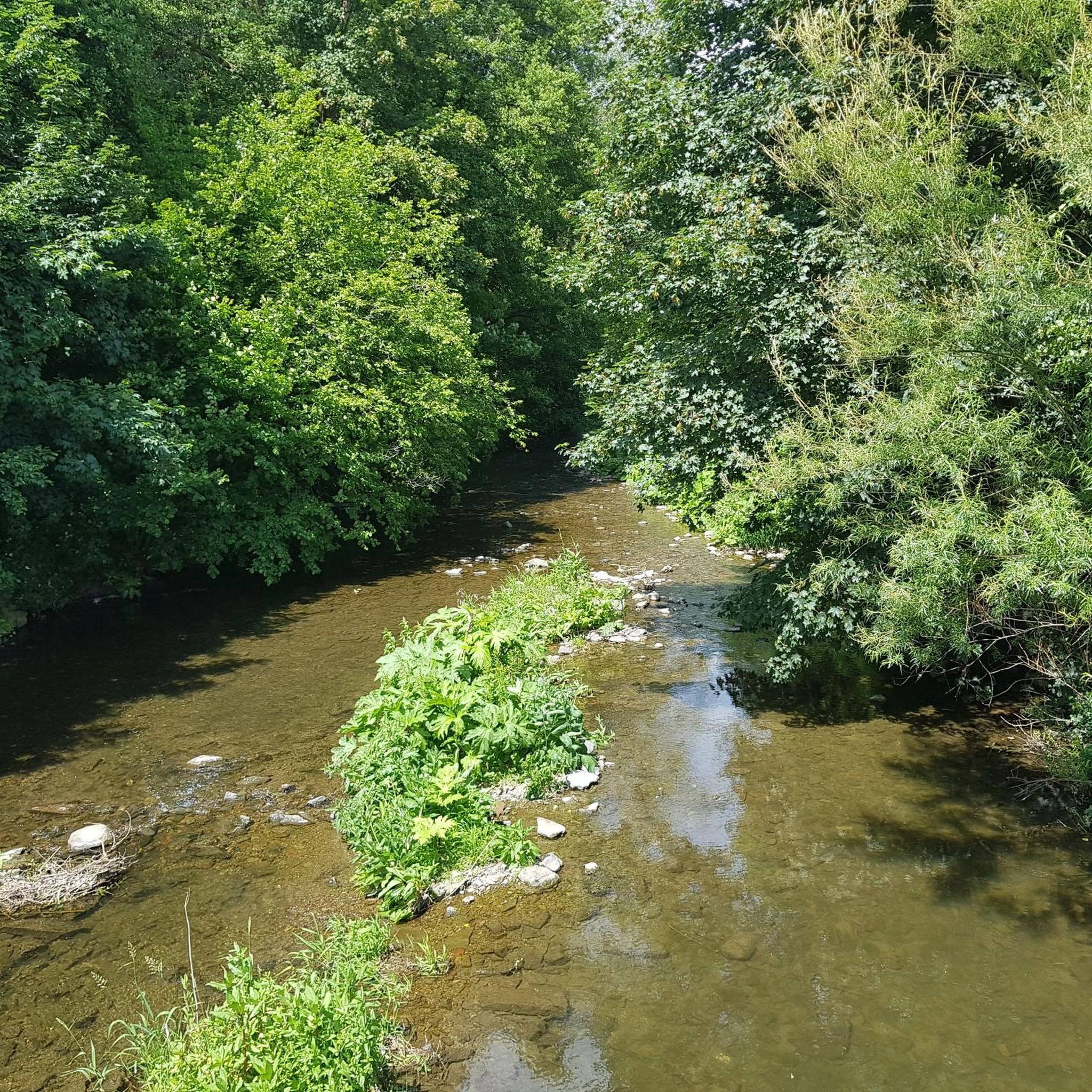
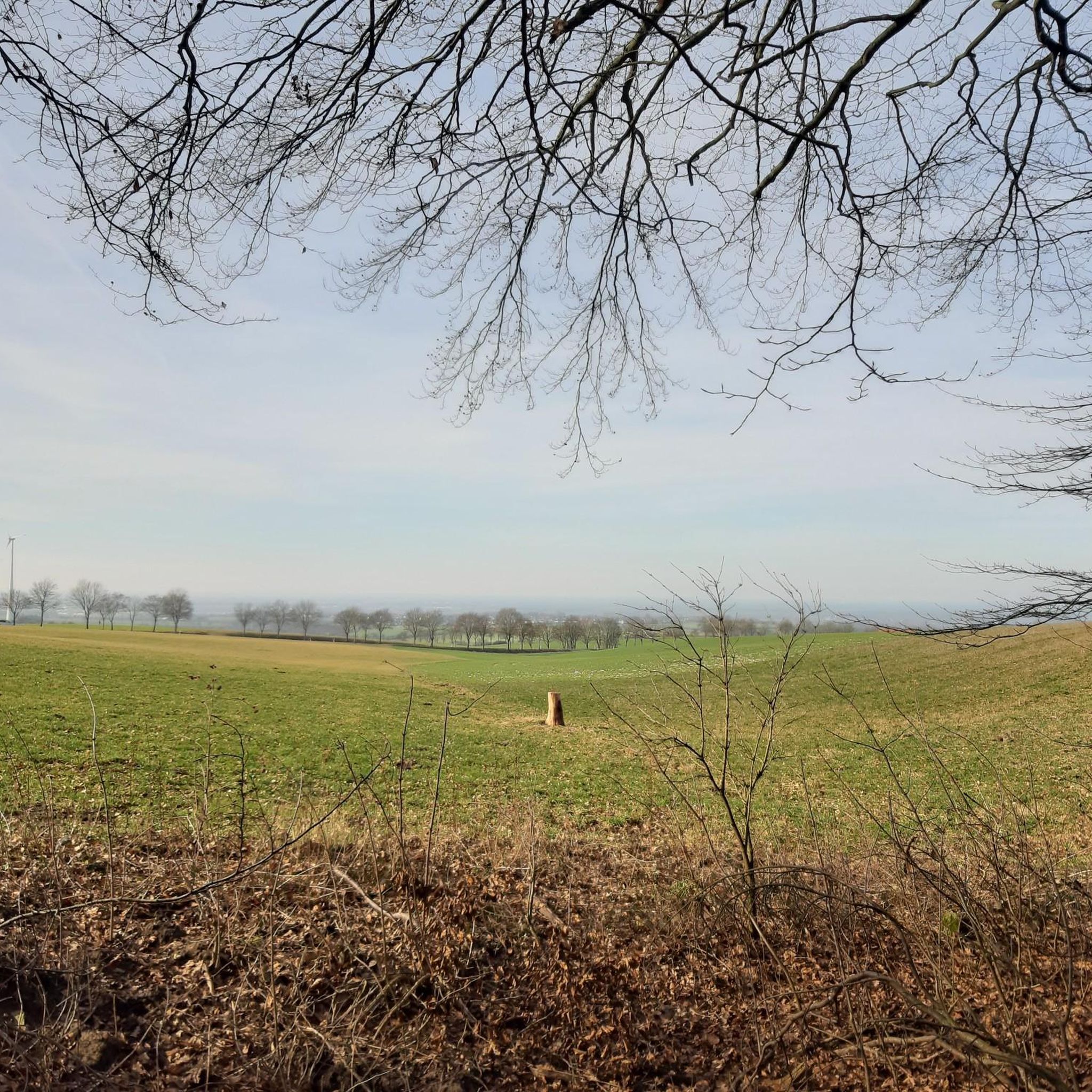
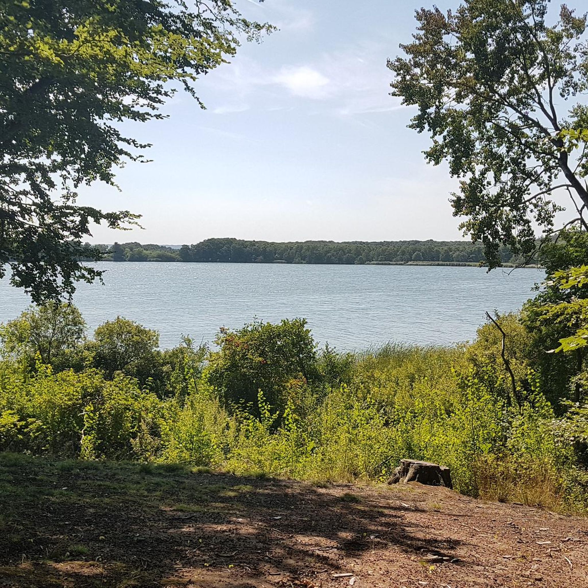
Tips from the Community


It gets very cold as you get close to Patapsco River near the bridge. The bridge does move a little but very secure as you cross it. Be mindful if you’re wearing a skirt (Ms Monroe)
0
0

best ice cream around they even have vegan options well worth the stop
0
0

The Cycle Mill Bike Shop is a helpful, local bike shop. If you need to pick up anything during your ride, or need something looked at, it is a good choice.
0
0

The Ilchester Road access point to the Ridge Trail offers a thrilling start for cyclists exploring Patapsco Valley State Park. Expect a steep, technical climb with rocky sections, rewarding you with flowing trails and forest views at the top. For a longer ride, connect to the Orange Grove area to enjoy smoother paths and cross the historic swinging bridge. Be prepared for limited parking and challenging terrain that tests both endurance and skill.
0
0

The BWI Trail offers a great spot to watch planes land at Baltimore/Washington International Thurgood Marshall Airport. This scenic trail provides some shelters and benches to take a break and watch.
0
0
The BWI Trail offers a great spot to watch planes land at Baltimore/Washington International Thurgood Marshall Airport. This scenic trail provides some shelters and benches to take a break and watch.
0
0

From this spot on the BWI Trail you get a truly amazing views over the airport. This multi-use trail is the only trail in the U.S. that encircles an international airport, making it a unique spot for a ride.
0
0
Frequently Asked Questions
How many road cycling routes are available in Patapsco Valley State Park Belle Grove Area?
There are over 60 road cycling routes in Patapsco Valley State Park Belle Grove Area. These routes cater to various skill levels, from easy riverside paths to more challenging rides with significant elevation gains.
What types of terrain can I expect on road cycling routes in this area?
Road cycling routes in Patapsco Valley State Park Belle Grove Area feature diverse terrain. You'll find well-paved surfaces, ranging from flat riverside paths along the Patapsco River to more rugged woodland routes with varying elevation gains. Some routes can include unpaved segments.
Are there family-friendly paved trails suitable for road biking?
Yes, the Bruster's Real Ice Cream loop from Linthicum is an easy, family-friendly option. Additionally, the Grist Mill Trail, a paved multi-use trail, is particularly popular for families and those seeking a less strenuous ride, paralleling the Patapsco River.
What historical landmarks and attractions can I see along the road cycling routes?
The park is rich in history. Along the routes, you can encounter the legendary Swinging Bridge, remnants of old mills and factories like the Orange Grove Flour Mill, portions of the Patterson Viaduct, and the historic Thomas Viaduct. You might also spot the remains of the Bloede Dam, the world's first underwater hydroelectric plant.
What is the best time of year for road biking in Patapsco Valley State Park Belle Grove Area?
The park offers enjoyable cycling experiences throughout much of the year. Spring and fall generally provide the most comfortable temperatures and beautiful scenery with lush foliage or vibrant autumn colors. Summer can be warm, while winter rides are possible but require checking for ice or snow conditions.
What are the difficulty levels of road cycling routes in the area?
The routes vary significantly in difficulty. You'll find 22 easy routes, 40 moderate routes, and 4 difficult routes. Easy routes, like the Bruster's Real Ice Cream loop from Linthicum, have minimal elevation gain. Moderate routes, such as the Lost Lake – Race Road Along Deep Run loop from Halethorpe, offer more varied terrain and elevation, while difficult routes present greater challenges.
Where can I find parking for road biking in Patapsco Valley State Park Belle Grove Area?
The Belle Grove Area, along with other sections of Patapsco Valley State Park, provides various parking facilities. Specific trailheads and recreational areas within the park, such as those near Halethorpe or Linthicum, typically offer designated parking for visitors. It's advisable to check park maps for the most convenient access points.
Are there any advanced road bike routes for experienced cyclists?
Yes, for experienced cyclists seeking a challenge, routes like the Race Road Along Deep Run – Ellicott town loop from Halethorpe offer significant elevation gains, exceeding 2,000 feet, and longer distances, providing a more demanding ride through varied park scenery.
What do other road cyclists enjoy most about road cycling in Patapsco Valley State Park Belle Grove Area?
The area is highly rated by the komoot community, with an average score of 4.4 stars from over 30 reviews. Cyclists often praise the combination of scenic river views, lush forests, and the historical landmarks encountered along the routes. The diverse options for different ability levels are also frequently highlighted.
Are there cafes or restaurants near the road cycling trails?
While the park itself is primarily natural and historical, the surrounding towns and communities, such as Halethorpe, Linthicum, and Ellicott City (Ellicott Town), offer various cafes, restaurants, and pubs where cyclists can refuel and relax after their rides.
How long do road cycling routes typically take to complete?
Route durations vary based on distance and elevation. Shorter, easier routes like the Bruster's Real Ice Cream loop from Linthicum can be completed in about 1 hour 20 minutes. Longer, more challenging routes, such as the Ellicott town – Patapsco Valley State Park loop from Halethorpe, may take over 2 hours 30 minutes, depending on your pace and stops.
What kind of natural features will I encounter while cycling?
The defining natural feature is the Patapsco River, which carves through lush forests, offering picturesque river views. The park's diverse ecosystems support a wide array of wildlife, including deer, foxes, and various bird species, making it attractive for nature observation during your ride.
Most popular routes in Patapsco Valley State Park Belle Grove Area

Get inspired with the komoot mobile app


Explore more
Browse the best Road cycling routes in other regions.
